
Potato Chip Rock, Mount Woodson
San Diego is a spot with many great hiking trails. In fact, saying that San Diego has “many” great hiking trails sells the city short; the reality is that San Diego has a plethora of great hiking spots. I can think of no other location in the United States where the beach, canyons, hills, mountains, and deserts are all within a two hour drive; and in some cases are within a one-hour drive. San Diego is also a spot where many household names – Iron Mountain, Cowles Mountain, Torrey Pines, the Devils Punchbowl, and the Three Sisters are hiking trails. In this blog, I’ve discussed my opinions about these places and I’ve also discussed other great hiking spots; but what I will say positively about these trails and their popularity is this: they get people outside. In my experience, when people get outside, they’re more likely to learn things; they’re more likely to boost their endorphins; and they’re more likely to want to protect not only where they went, but other wilderness areas as well. So yes, these trails are popular, as I’ve discussed, but sometimes, popularity is not all bad.
Right now, the most popular hiking destination in San Diego is the one, the only, Potato Chip Rock (“PCR”). It is located on Woodson Mountain (also known as Mt. Woodson). I can’t tell you when the rock was “discovered”; but what I can tell you is that it’s been there a while. How do I know this? I’ve been up Woodson plenty of times – on both the Eastern and Western approaches for the last twenty years. I know that I must have walked past the rock at least four times, but I didn’t think anything of it. I was probably checking out the views, or thinking about climbing one of the other boulders on the mountain. At some point in the last five years or so, someone noticed what I and many other people did not. This rock makes for a unique photo opportunity. Look at it above – it’s a piece of eroded granite that hangs off the side of the mountain, and if you shoot it just right, it appears to hang off into eternity. (In reality, it’s hanging above about a twenty foot drop, but that’s also something you don’t want to experience!)
Mount Woodson has plenty of great rocks, including Potato Chip Rock to climb upon.
This is what makes the hike so popular: the photos. Because, really, the mountain has plenty of rocks to climb; but none of those climbs have the easy crazy photo opportunity that Potato Chip Rock provides. If you look online, you’ll find just about everything being done on the rock from simple self-portraits to more extreme photos to the truly bizarre. At this point, I feel like almost everyone in San Diego County has a Potato Chip Rock picture; and if they don’t, they’re planning on getting one. Since I’ve fielded plenty of questions about the PCR in person and online, I decided to finally see what all of the hype is about. So, this last weekend, I set out with my wife, @losadventura and our crew to get our own PCR pictures.
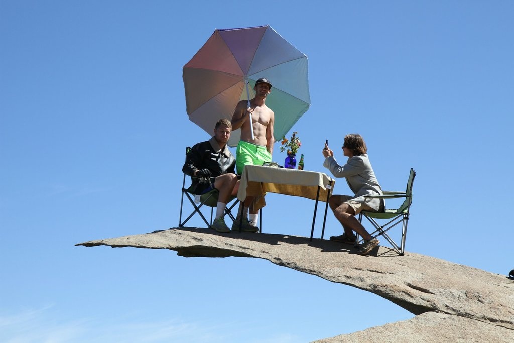
To avoid crowds on Potato Chip Rock, go at dawn on a weekday.
One of the actual little known things about the PCR is that there are two ways to get to it. The first leaves from Lake Poway and heads up the Western side of the mountain in a lengthy no-shade slog. The other route involves heading up the Eastern approach of Mount Woodson. While both trails are uphill, there is a substantial distance difference in the two approaches. The Western, Lake Poway approach is eight miles roundtrip; and the Eastern approach to Mount Woodson is only 3.8 miles roundtrip to the summit and back. It’s worth noting that once you add in the descent to the PCR (¼ mile) and, ascent back to the summit (another ¼ mile, for an additional ½ mile total distance), the Eastern route clocks in at 4.3 miles roundtrip.
Since my group had a few novice hikers in it, I knew that I wanted to keep things short, direct, and to the point, so we took the Eastern route, as detailed here, which leaves from the CA-67. The best way to find this route is to look for Hedy Drive, or Mt. Woodson Road, both of which are directly off the CA-67. As I mentioned over a year ago, you can’t miss the area to park in, and you will see plenty of cars off both sides of the road. From there, the route is the same as it was a year ago: a paved access road up to the summit. This route has a number of advantages: it’s shorter; it’s paved, which means it is accessible for bikes and strollers; and it is shadier than the Western approach, with spots to stop at under trees and large boulders.
Even though it was a warm day (which it always is on Woodson), my group made the summit easily, and then we had to do our only route finding of the hike: we had to walk past the summit, and down onto the Mt. Woodson trail on the Western side. This is an easy junction to spot, especially as it is the only trail junction on the mountain; all one needs to do is pass through the communications tower cluster that exists on the summit, and begin descending as opposed to ascending. In short order, we could hear voices, and in a shorter order (¼ mile) we could see the massive line of people on the trail waiting to take their pictures at the PCR. Since it was a sunny day (and more are on Woodson), there were about twenty to fifty people hanging out waiting to get their own individual or group shots; a majority of which had come up the Western approach. Once we got our shots, we headed back up to the summit, and were back down by our car in short order in time to get lunch, because all of that talk of chips had made everyone hungry. All in all, even though it was a popular spot, it was a great short hike, and one that we’ll always remember – especially as we’ve got our own photos now.
Tips: As I mentioned above, there’s two ways to get to the PCR – the Lake Poway approach (West side); and the Eastern Approach (again, detailed here). Personally, I think the numbers speak for themselves: 8 miles roundtrip on the Western Approach; 4.3 miles roundtrip on the Eastern Approach with a slight crossover. Both online, and in person, I’ve heard tons of stories of people literally almost killing themselves to make this hike. I say, make things easy for yourself. If you want to see the PCR, you don’t have to hike 8 miles, you only have to hike 4.3. For an added bonus, you’ll also save yourself $8.00 if you take the Eastern Approach, as parking on the road is free. Plus, there’s more trees, a little less people, and more interesting rocks. Then again, I’m not one to stop people from hiking: if you want to hike 8 miles; definitely, hike those eight miles. Good on you; I’ve done it, and it is fun. But, if you’re with kids, or just want to get in and get out; the Eastern Approach is the route you want. Above all else, take lots of water (whichever route you take), and do take lots of pictures (but you will already).