At 14,505 feet, Mount Whitney is the tallest mountain in the continental United States, and one of the most popular spots to hike and climb. In addition to these things, it also has a number of high alpine lakes located nearby (such as the Meysan Lakes), and a number of lakes located along the trail to the summit - such as Mirror, Consultation - and Lone Pine Lake. While Lone Pine Lake is technically not on the trail to the summit, as it is off a short spur trail, it is a great short hike for beginner backpackers and hikers, and for those parties looking to take more than one day to summit Mount Whitney.
The Alabama Hills
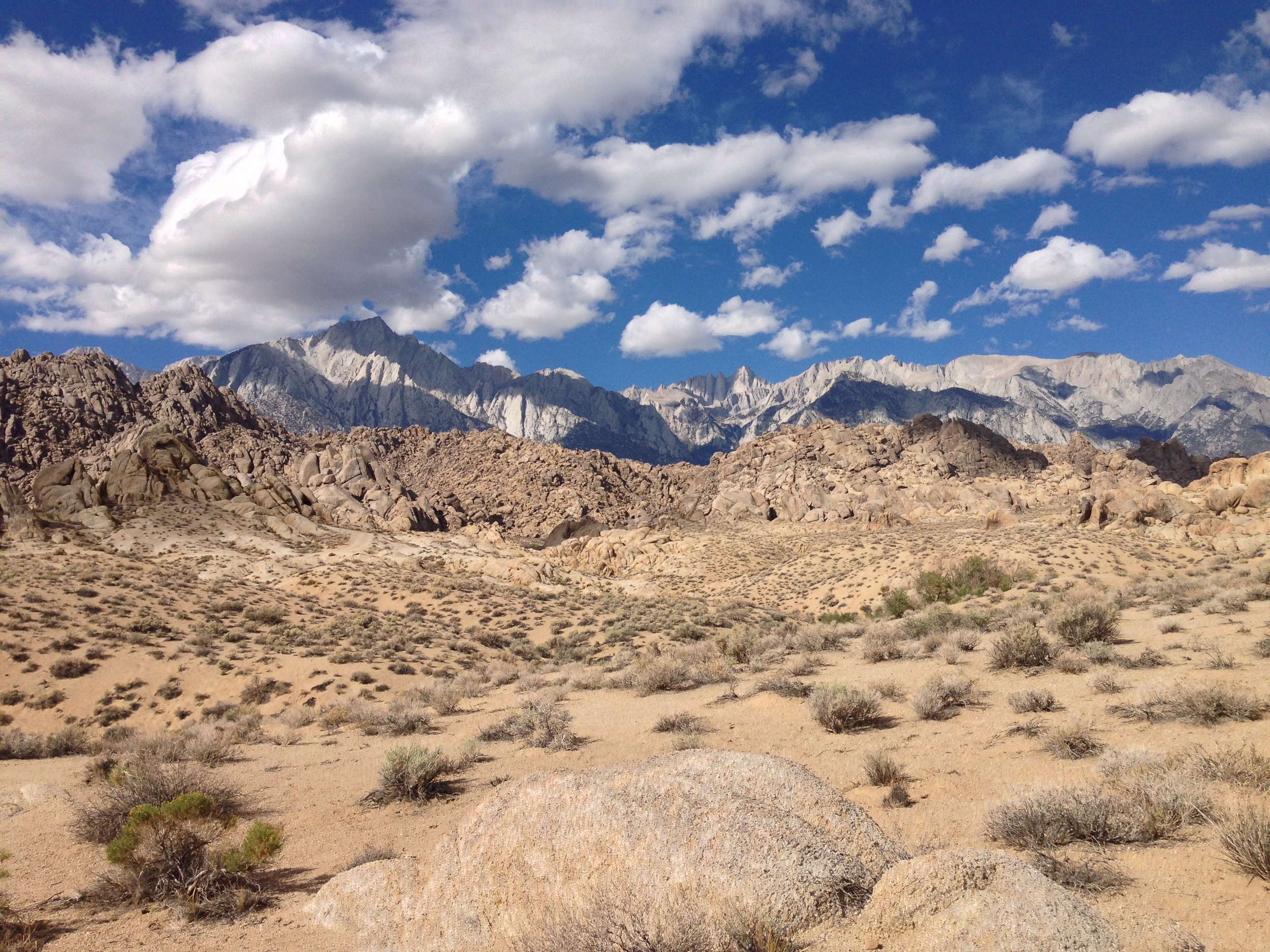
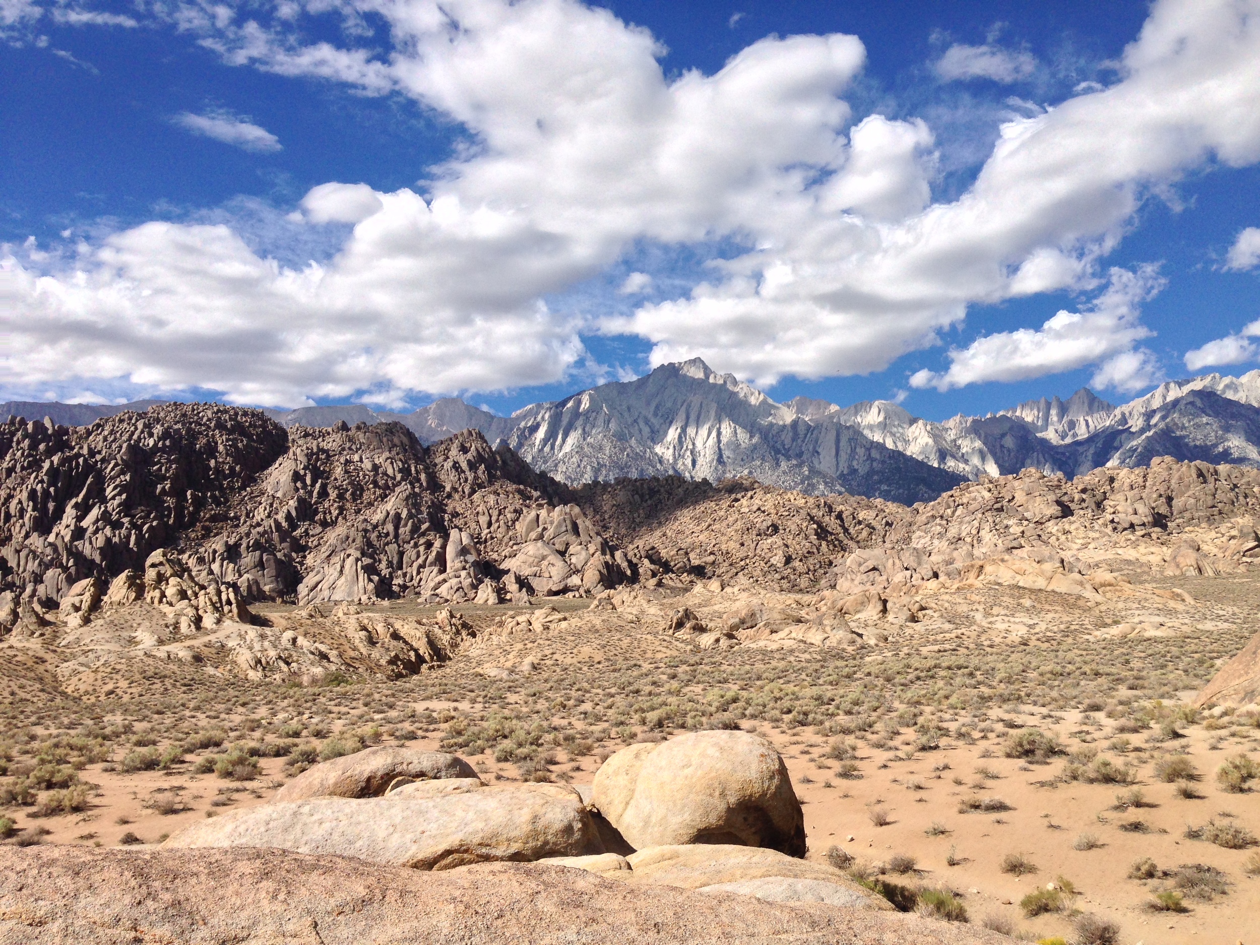
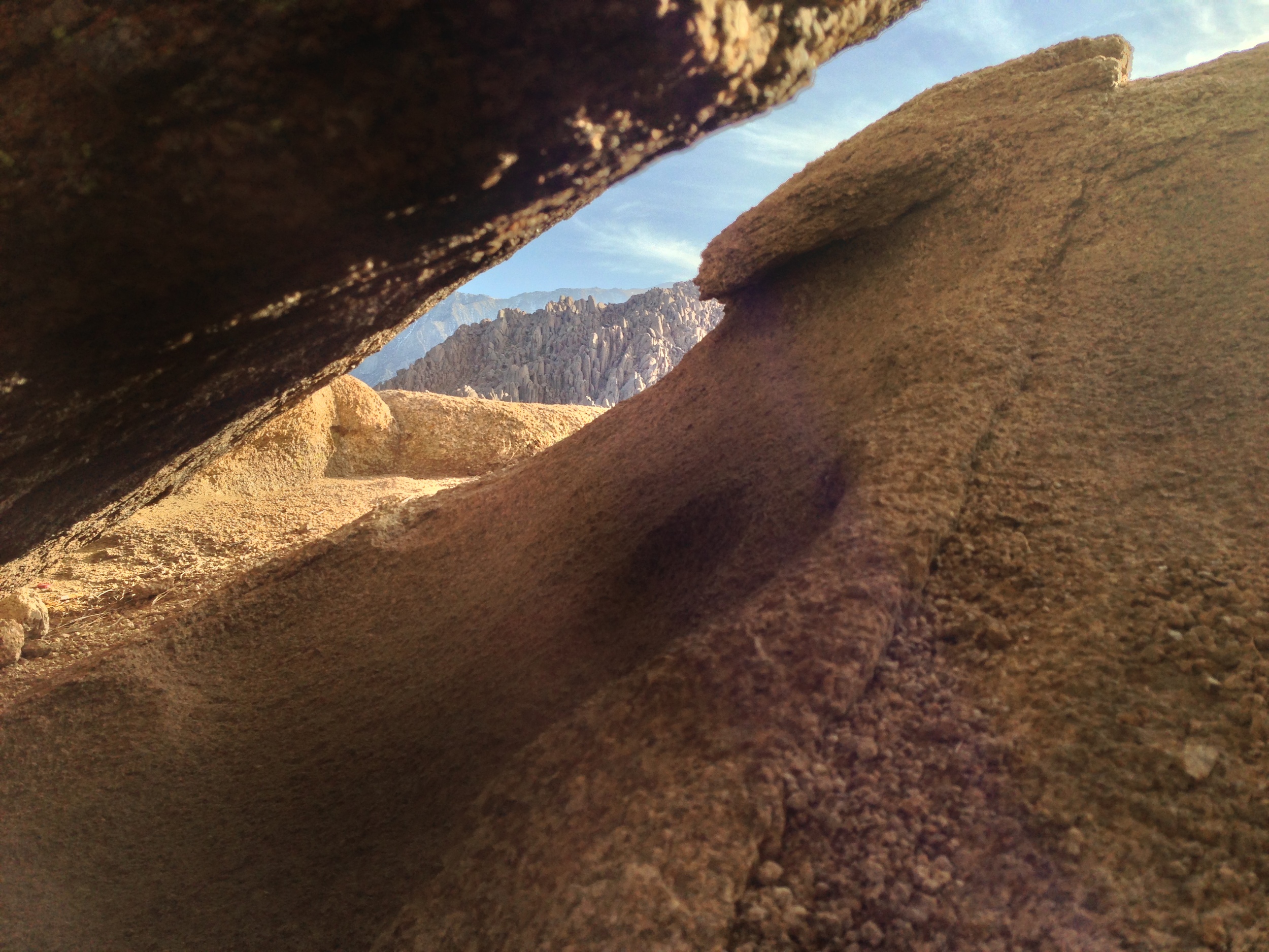
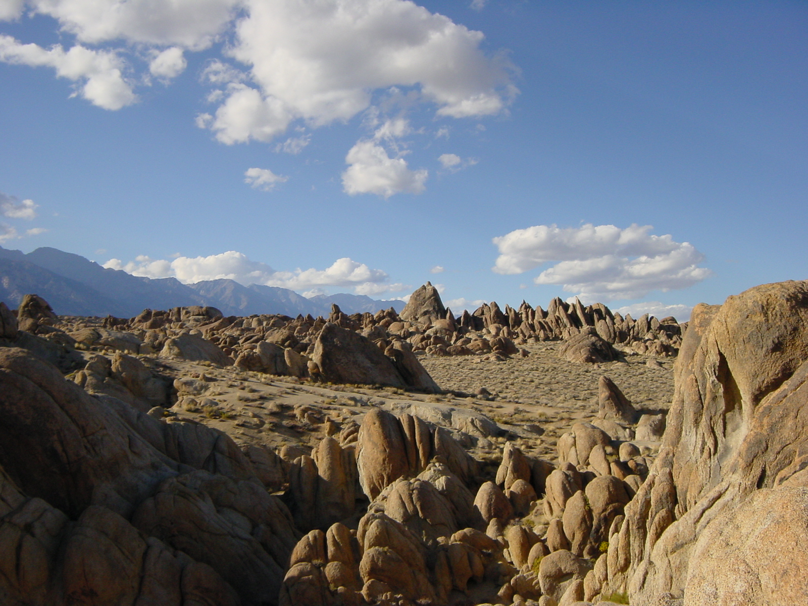
Stop me if you’ve heard this before: in order to save the world/survive the apocalypse, a lone wanderer/group of travelers travels across a rocky wasteland near some tall snow-capped mountains, and along the way, encounters zombies/aliens/cowboys/zombie-alien-cowboys. Sound familiar? Of course it does. It’s the plot from every summer blockbuster you’ve ever seen. You know where they’ve been filmed? I do. The Alabama Hills. Where are the Alabama Hills? Why, they’re at the base of a little-known mountain: Mt. Whitney. They’re also located right next to the town of Lone Pine, California, right off the I-395, and near another geological feature that I just talked about – Fossil Falls.
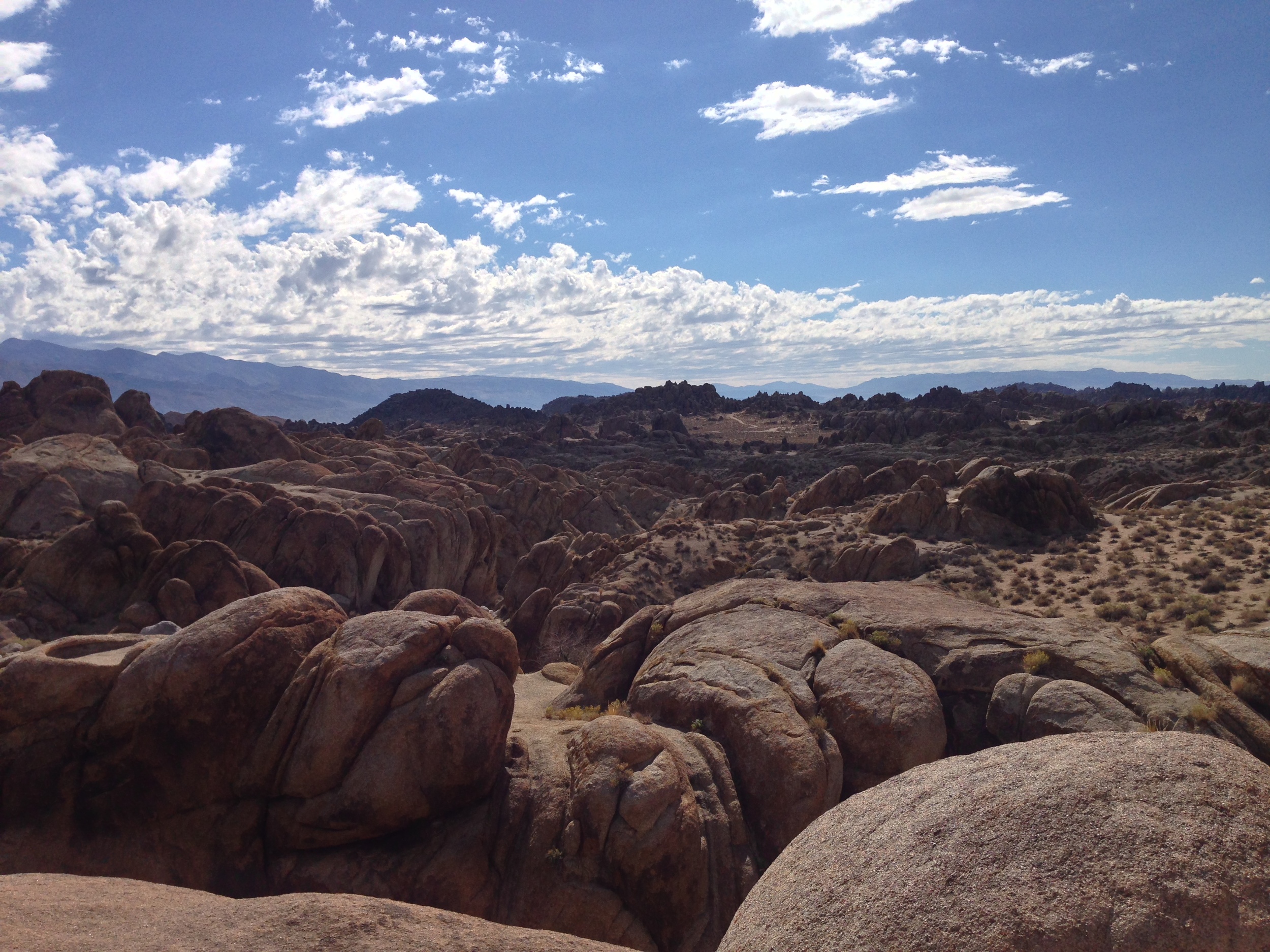
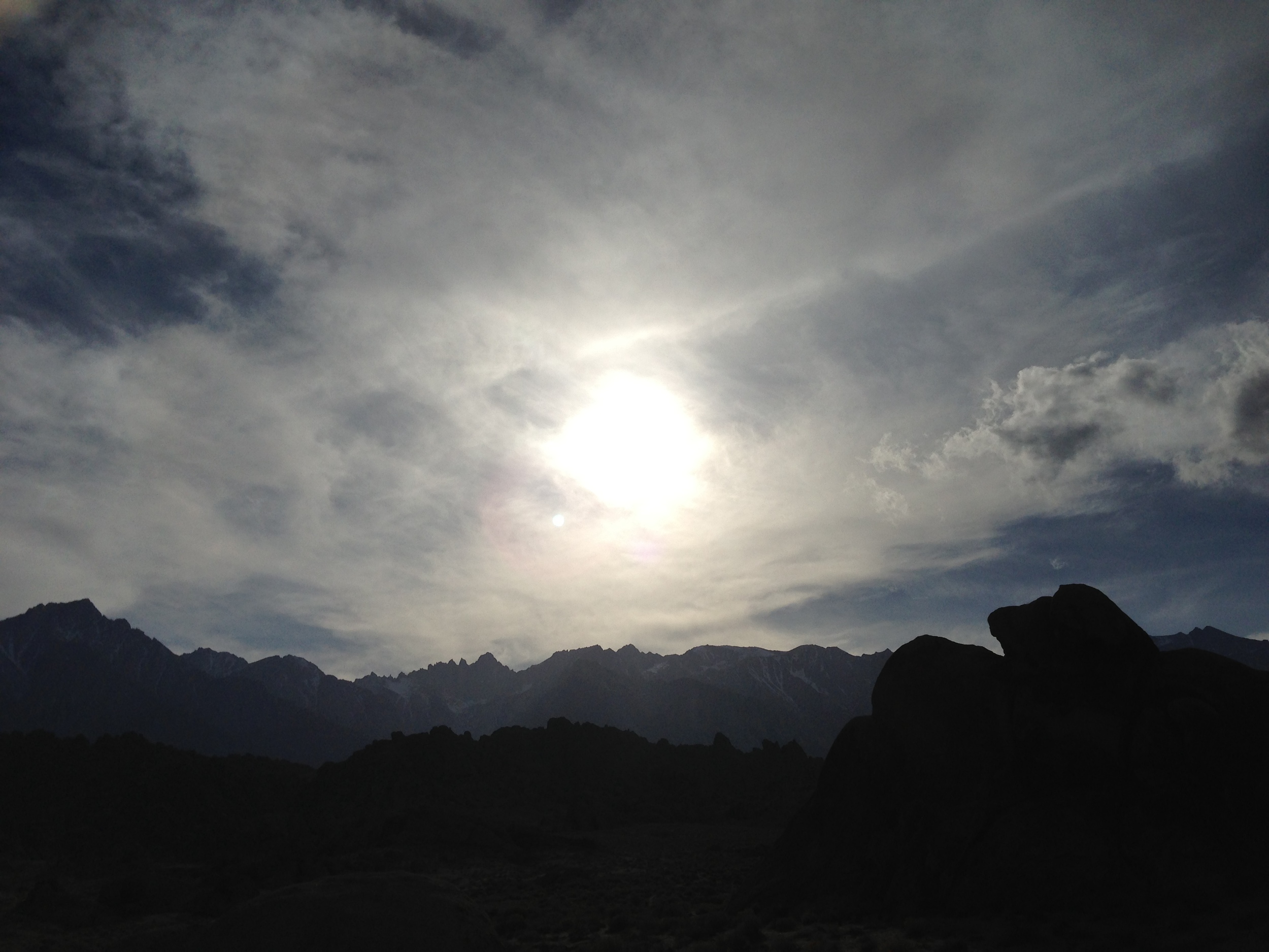
What are the Alabama Hills? The Alabama Hills are another interesting geological feature in the Eastern Sierra. According to the experts, they are the same age as the Sierra Nevada; and are made up of two types of rock: aged volcanic rock; and weathered granite. (More rock info here). While I can’t get into the geologic particulars of the area, I can tell you that this is a great area to explore in terms of bouldering, hiking, and photography.
The Top Things to Do in the Alabama Hills. Unlike Fossil Falls, I’ve been visiting the Alabama Hills for years, ever since I started climbing Mt. Whitney and its companion peaks. While I haven’t yet explored the entire region, I have been in numerous spots and have never had a bad time. One of the key things to remember about the area is that it is BLM land; so it is almost an open area for exploring, either by vehicle or foot. In my opinion, the best thing to do is to simply head out into the hills to have an unplanned and unmapped adventure, assuming you’re prepared and don’t get lost! If you’re more into the tried and true, the below recommendations are also fun too!
The Mobius Arch
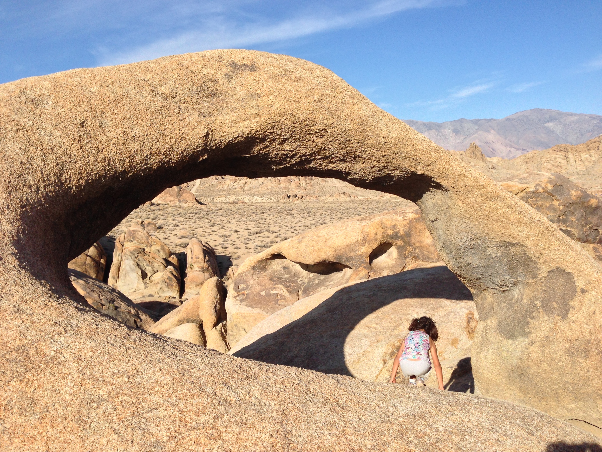
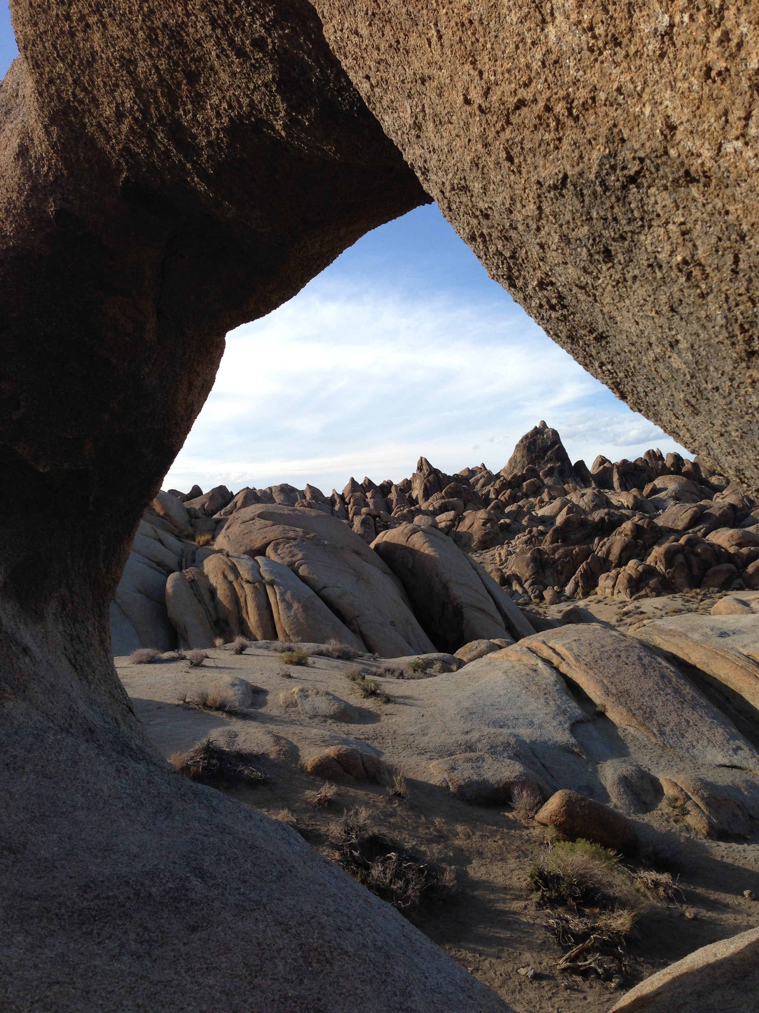
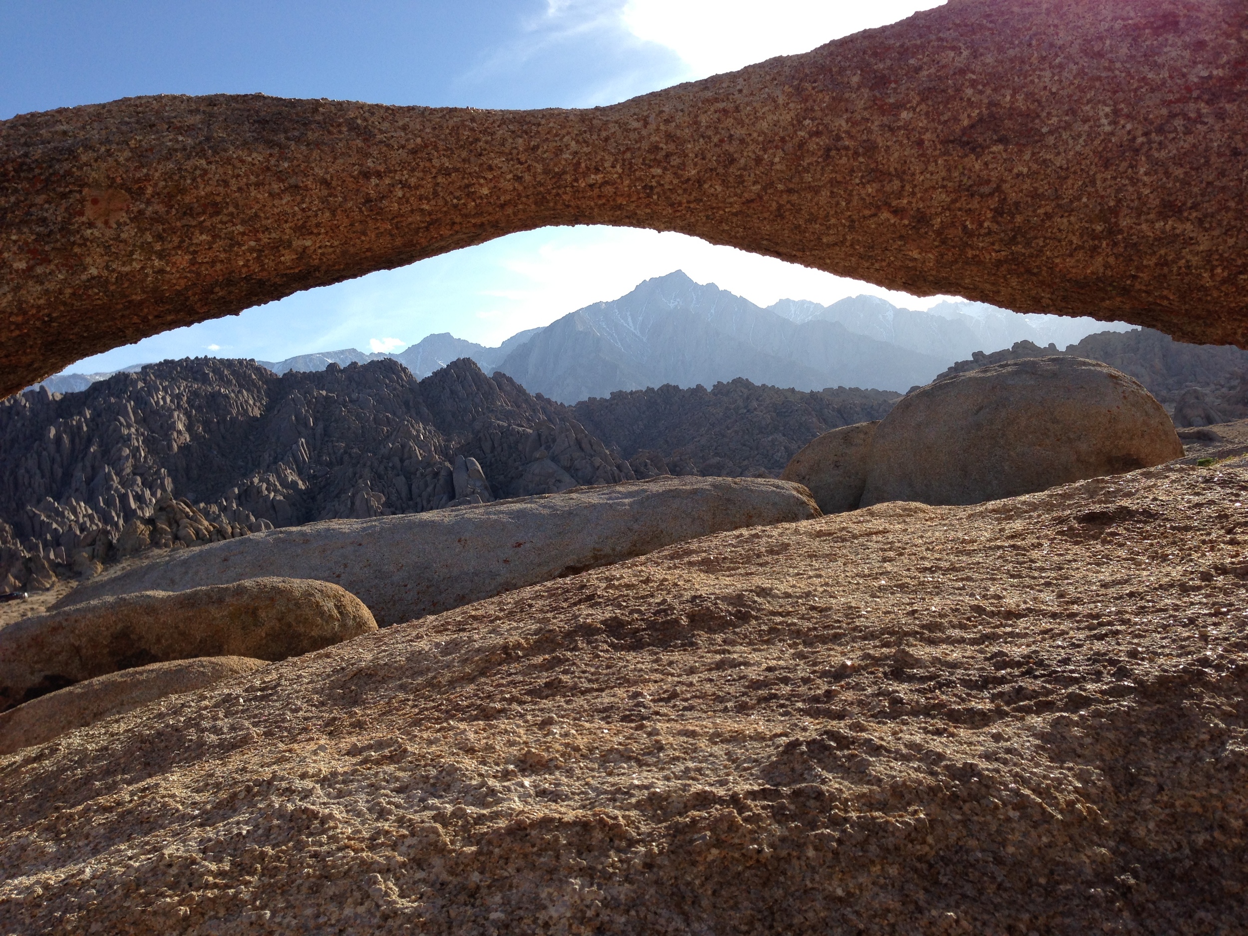
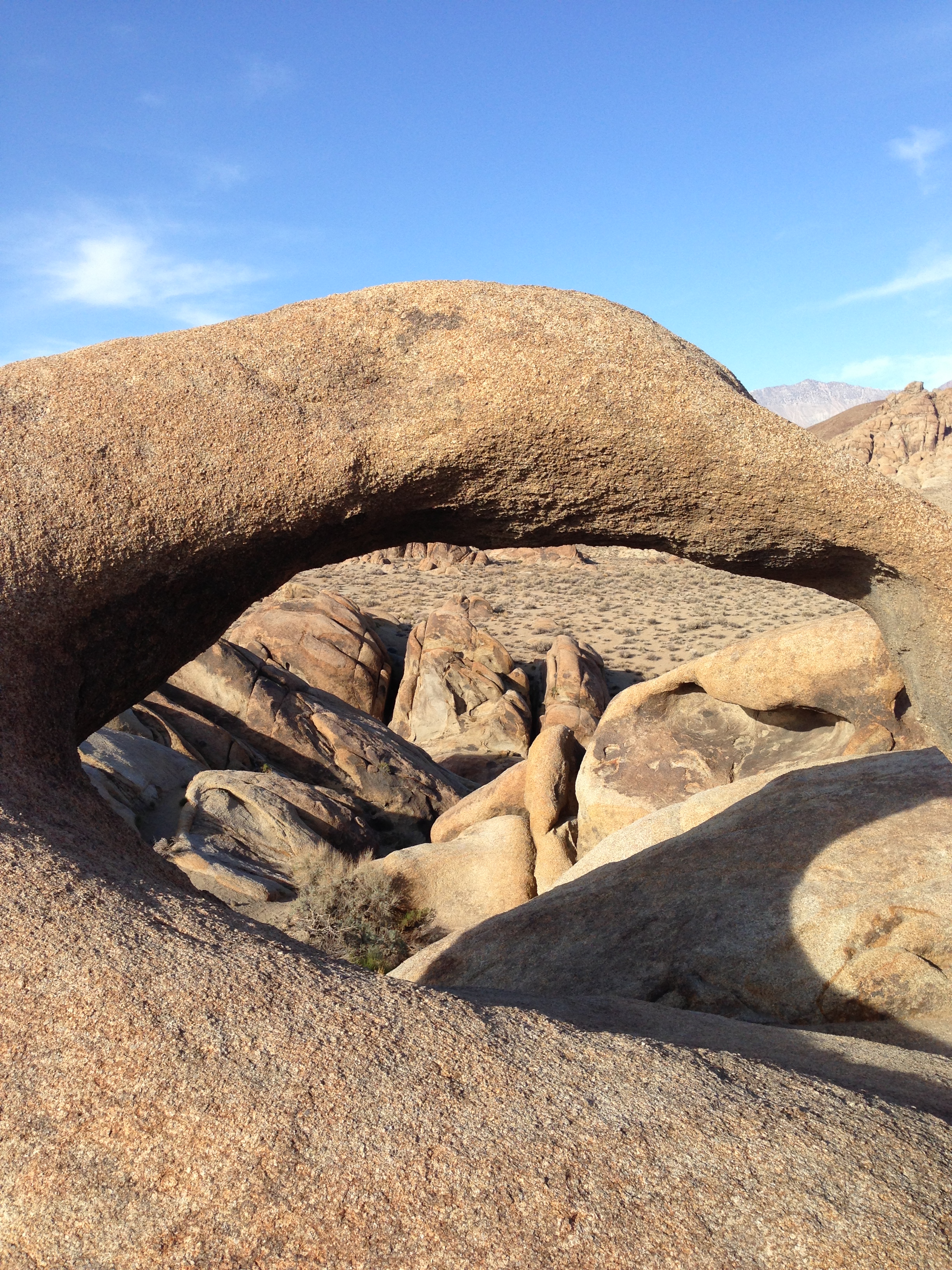
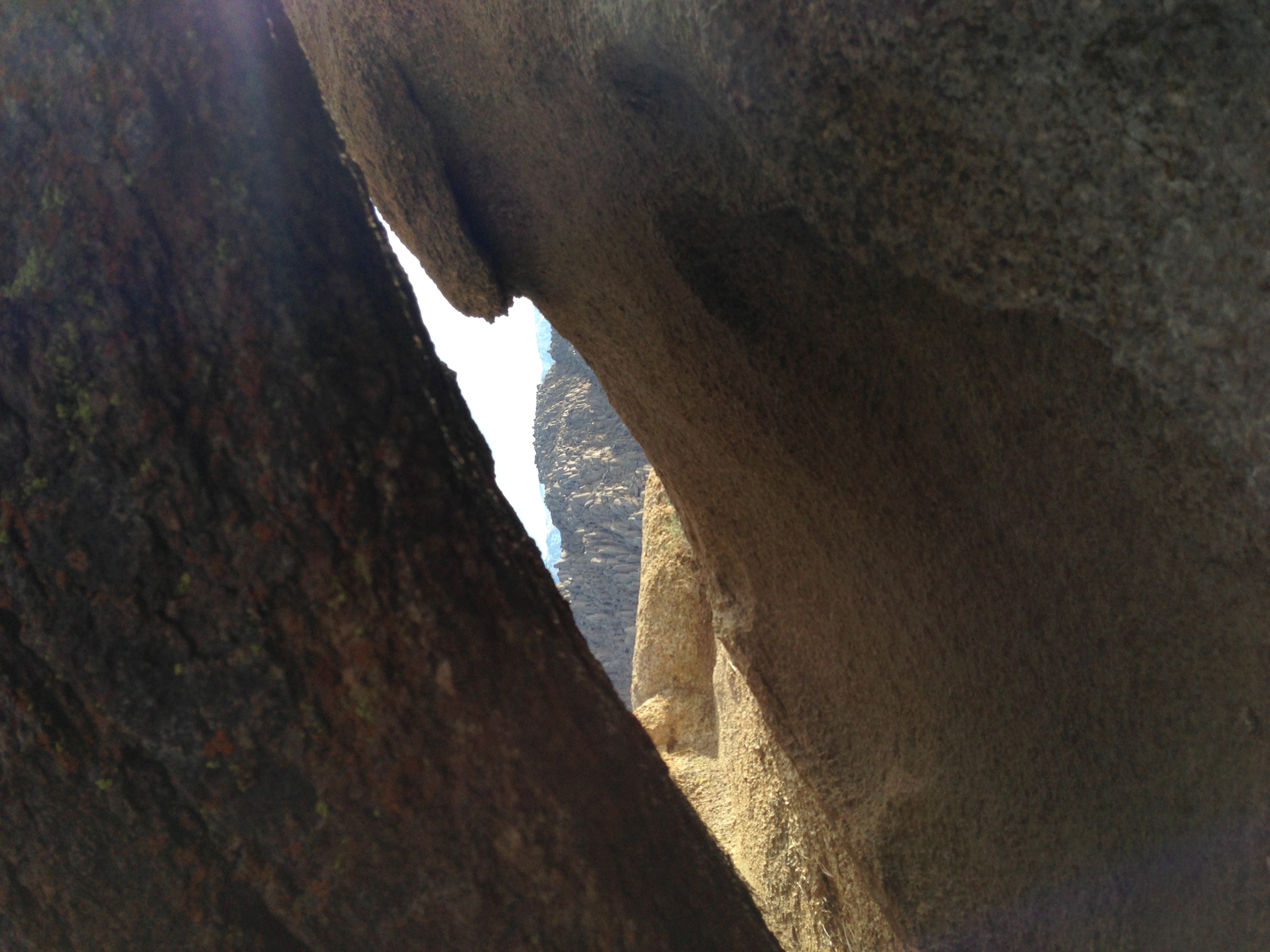
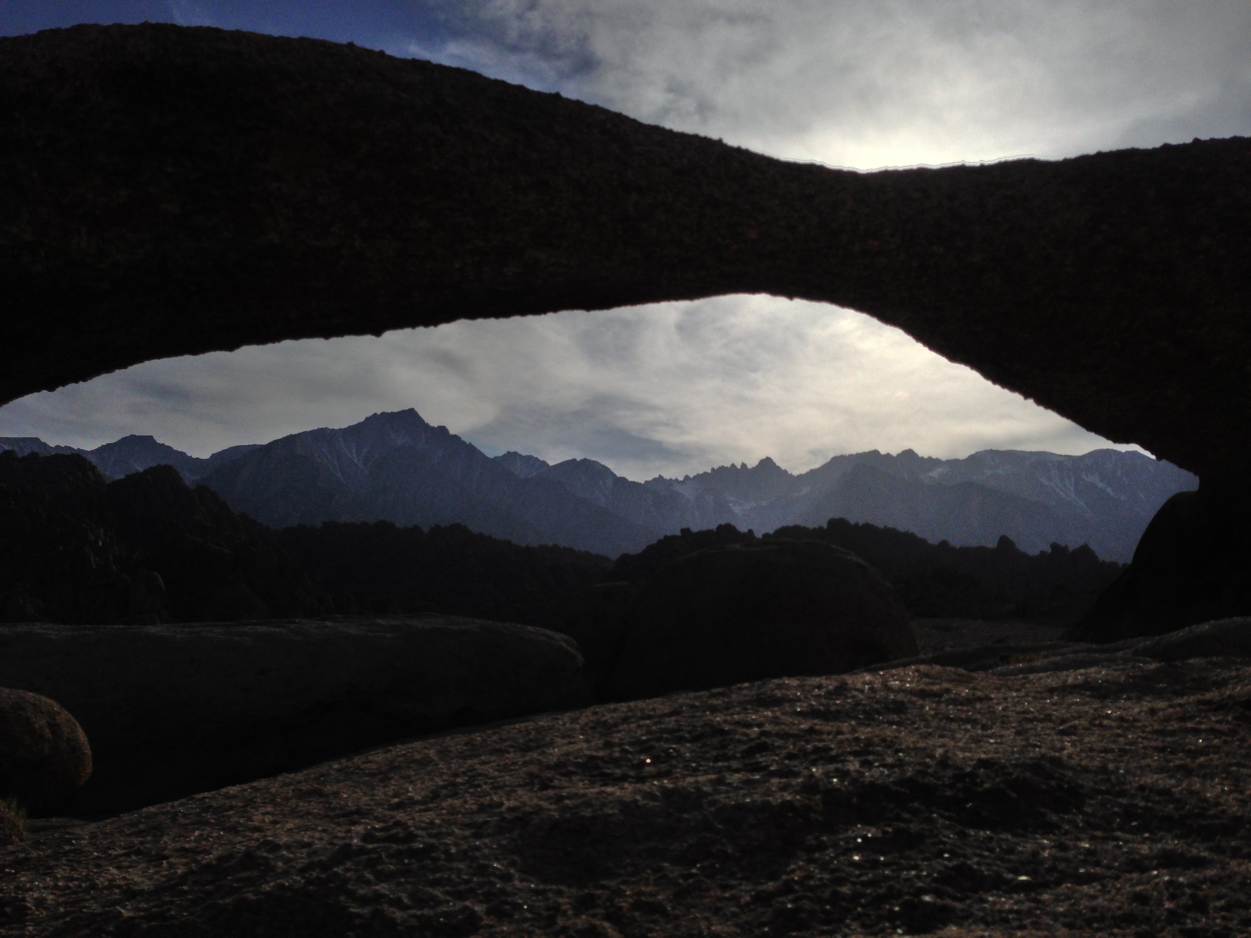
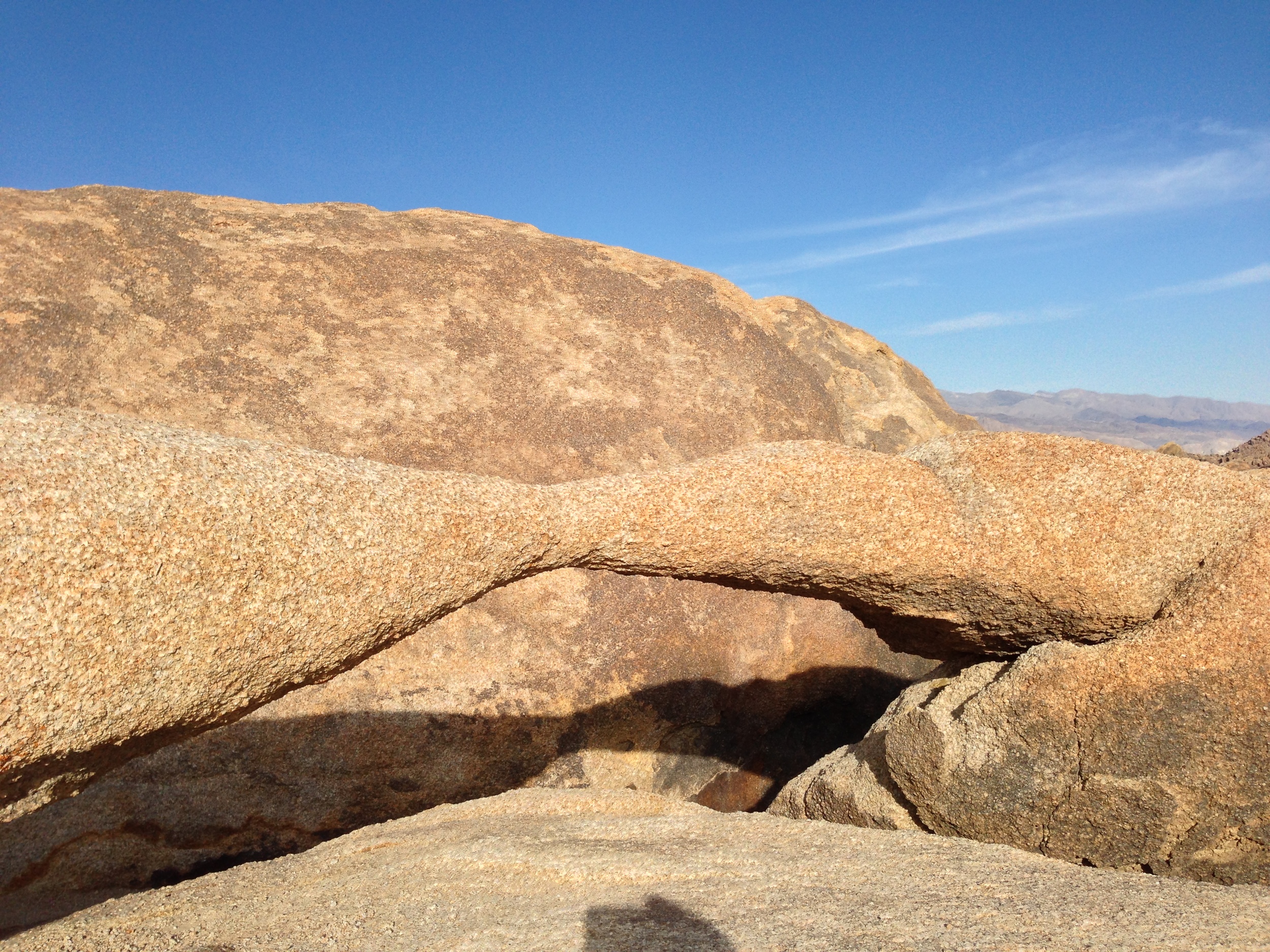
1) The Mobius Arch. On many of my early visits to the Alabama Hills, I explored portions of the area, and found many weathered openings and arches. Years later, I started getting questions about the “Mobius Arch”. At first I assumed it was like the Devils Punchbowl, and that everyone had their own Mobius Arch but after a while it became clear that it was a specific named spot. Again, in my opinion, the hills have many Mobius Arches, but now there is a specific Mobius Arch that has a specific trail and parking area that has been constructed by the BLM. To get to the actual named Mobius Arch, you will want to drive West on Whitney Portal Road from Lone Pine for three (3) miles until you reach Movie Road, which will be on the North (Right). Follow Movie Road for 1.5 miles until you reach a T-Junction. Once you reach the T-Junction, you will see the BLM parking area for the arch; and from the parking area, it is a .5 mile hike to the arch. While this is a stunning feature, keep in mind that it has become perhaps the most popular part of the Alabama Hills. You will see people on this hike; and chances are, you will see a number of photographers at the arch, striving for their own signature shot!
The Mobius Arch
2) The Lathe Arch. This arch is located immediately to the West of the Mobius Arch, although it is much smaller arch than its larger friend. In order to get to it, you’re going to follow the directions listed above for the Mobius Arch. Like the Mobius Arch, the Lathe Arch has some great photography opportunities, and has a great view. However, as I said above, the Alabama Hills do have many of these eroded features, so if you’re looking for an arch, hole, or other angle that has not been photographed by many people, get out there, and find your own. I guarantee there are plenty of spots that have yet to be discovered.
3) The Self Guided Movie Road Tour. Did I mention something about movies at the beginning? Yep, I totally did. While the Alabama Hills always had “Movie Road”, some of the features and their attendant movies and TV shows were a little harder to find. While you could always speak to some of the locals in Lone Pine about where to go, now the BLM has a handy board in the Alabama Hills marking locations, and it also has a handy printout here online of how to proceed and where to go.
4) General Exploration. As I’ve mentioned frequently, the area is fairly open, and there is plenty to do, from looking for old mines, to fishing in certain spots, and just general camping, hiking, bouldering and photography. One word of caution: beware the Lone Pine Devil. Other than that, have a great time!
Interested in what other people think of the Alabama Hills? Check out my friend Paulina's thoughts here!
Lathe Arch
The Alabama Hills - Does the Lone Pine Devil truly live here?
IIAWT April 2013 and May 2013 Recaps
Muir Snowfield, Mt. Rainier
If you think you think Matt and I missed our podcast window on Wednesday, you'd be wrong. Yes, there was no show last week. And yes, we did not Tweet or promote a show this week. No, goats have not completely eaten IIAWT's technical equipment and clocks. The answer to why there was no IIAWT is because IIAWT is only on the second and fourth Wednesday's of each month, and between May and June, the calendar sets us, the hosts up with a nice little break. So look at things positively - you didn't miss anything, and we didn't trick you - the calendar did! But in case you did miss us, here's what you've been missing in the last two months!
Ingraham Flats, Mt. Rainier
April 10, 2013, Episode 6: Mt. Rainier, Part I: The IIAWT How-To-Climb-Guide. Mt. Rainier - a mountain - no, a volcano so big it deserved two shows. On this first episode, Matt and I spoke with Katie Levy of Adventure Inspired, who had some great insights to how a novice prepares for the Disappointment Cleaver, and mountaineering in general. Katie also had some great comments about climbing mountains for charity; and about how she reviews gear for her readers, so this episode, like always, is a must listen! (Also, stay tuned to the end for a special guest - and friend of the show!)
April 24, 2013, Episode 7: Mt. Rainier, Part II: The IIAWT How-To-Climb-Guide-Continues. What's better than talking Mt. Rainier? Talking Mt. Rainier with a veteran climber like Kevin Cherilla of K2Adventures. We also had on our friend of the show, Jes (more info here) for some added color commentary. On this show, we again talked about climbing for charity, and the difficult - and STEEP Liberty Ridge Route.
May 8, 2013, Episode 8: Mt. Whitney, Part I: The IIAWT How-To-Climb-Guide. This show is also known as "When Goats Attack". Although there was no guest host, both Matt and Chris picked up the slack in an information packed must-listen guide about climbing Mt. Whitney. (For an added bonus, read more here about what you need to know about Whitney, the highest peak in the Continental United States).
Western Side, Mt. Whitney Trail
May 22, 2013, Episode 9: Mt. Whitney, Part II: The IIAWT Guide on the JMT and Other Routes to the Top. Once Matt and Chris got rid of those pesky goats, they were ready to talk Whitney the way Muir saw it after his long treks in the Sierras. What better way than to talk about this than with a bona fide expert, the SoCalHiker, also known as Jeff Hester. This show had some great details from Jeff, who has hiked the John Muir Trail twice, and also had some great secret tips on how to ascend Whitney via non-traditional ways.
If these shows don't get you out into the mountains, perhaps next week's show on Mt. Shasta will intrigue your mind and inspire your body; but until then, see you on the trail!
How to Climb Mt. Whitney
So, you’re looking to climb Mt. Whitney? If so, you’ve come to the right place. I’ve climbed Mt. Whitney a number of times – without snow, with snow, on the mountaineer’s route, on the Mt. Whitney trail, under sunny skies, and under cloudy skies with thundersnow. I’ve seen bears, lots of marmots, and all sorts of hikers, mountaineers, and climbers. While I’m not going to say that I’ve seen it all, I’ve seen a lot, and I’ve written a lot, so this is a great time to recap all of the resources that are present on this site (and off this site). So, without any further ado, if you want to know how to climb Mt. Whitney, here’s what you need to know!
The Zen of Mountain Climbing
I’ve been heading up to Mt. Whitney on a yearly basis for a while now. I’m not quite sure when it started, because I have a love-hate relationship with the mountain. Every time I get there, I am amazed, awed, and thrilled to be there. Then, at some point on the climb, the positive emotions turn negative – I get tired, I posthole for a couple miles, or something minor happens and becomes frustrating. I then vow never to go back. After about six months pass I think to myself, “I should really go to Mt. Whitney”, and the cycle starts again. This year, due to some external factors, I had to make my yearly trip earlier than usual (Last week, I talked current trail conditions here), and while I was climbing/mountaineering/hiking along, I realized that I had a tip to share about climbing Mt. Whitney. I’ve shared many tips, but the main tip, I realized as I sat under perfect blue skies at just above 12,000 feet on an icy slope, is that it is more than fine to turn around on Whitney, and in fact, turning around on Whitney, or any mountain, for that matter, can make your climb into a better experience – and not just for practical life-saving reasons.
Inyo National Forest, April 2013
Hear me out: I didn’t summit Whitney this year, and I don’t have a problem with admitting that, as it was one of my better climbs. I feel that this is what makes the difference between a veteran climber, and a novice climber. A novice climber feels the pressure of having to make the summit at all costs, and when they don’t, in my experience, they come up with the x, y, and z of excuses of why it didn’t happen. A veteran climber, on the other hand, simply states the obvious: that there were adverse factors, but admits that they personally didn’t get it done. To prove this theory, I need look no further than my last climb of Whitney. From two miles in, I had to find my own route; I was on ice; I was on snow; and there was a stiff, vigorous breeze that was pushing against me at around 25 mph; and in the chute, the sun partially melted the snow and slowed my progress to a crawl.
Mt. Whitney Trail, April 2013
Depending on how I tell the story; any one of those reasons could be used as an excuse as to why I didn’t make the summit. But here’s the deal: I got a late start. That was on me. I wasn’t moving as fast as I could. That was on me. I didn’t bring snowshoes. That was on me. Finally, perhaps my conditioning could have been a little better, because my conditioning could always be a little better. Those external factors? Well, it’s Mt. Whitney. In 2007, when I successfully climbed it with my group, I woke up in the middle of the night at Trail Camp, and headed outside. At that point, there were 35-45 mph wind gusts ripping down the mountain. The temperature? A balmy -1. The climb? Yeah, we made it up to the summit and back down the next day in those same winds. As for snow, I’ve seen more snow on the mountain in 2002, 2005, and 2010, just to name a few times.
As for the chute, in 2010, we made good, but not great time on our ascent, and got trapped in the chute in that same molasses like snow and ice – but we still summited. To top that off, on that same climb, we had to hustle off the summit to avoid an unexpected thunderstorm. That storm also dumped snow on us during our descent. All of that happened on June 21st – the summer solstice! My point? On Whitney, like any big mountain, there’s always going to be problems. There’s just no two ways about it. This is a true story: every mountain, including Mt. Whitney is always going to throw everything it can at you. The weather is always going to be an issue. The altitude is going to always be an issue. No matter how good your conditioning is, your conditioning is also always going to be an issue. The reason these things are always going to be an issue is because mountaineering – the climbing of mountains - is challenging; namely because mountains themselves are large, immovable objects, and are inherently challenging. Mountaineering is meant to be a challenge. After all, it’s not sleeping. It’s meant to challenge every aspect of your being.
Mt. Whitney Trail, April 2013
This challenge is also what I’m talking about when I talk about the difference between novices and veterans. In my opinion, and not everyone may agree with it, a novice makes those excuses I talked about above, because they feel like they’ve failed the challenge of climbing the mountain. A veteran, on the other hand, understands this point: that the challenge is only failed if you endanger yourself; or other people. Whether you make the summit is immaterial. The challenge is how you respond to adversity – the mountain. Sure, the summit is the most tangible example of whether one completed – and rose to the smaller challenge; but the real example in my mind as a veteran climber of whether one has risen to the mountaineering challenge is whether one made it back down safely – irrespective of whether one has “bagged” the peak.
I turned around on Whitney this year, because I knew I didn’t have enough daylight left to summit and safely descend. Sure, I had the gear; and sure I had the skills. I also knew that I was the only one on the mountain that day. If something happened to me, and accidents do happen on Whitney, I would be on my own, in a bad way. I turned around because the challenge was to get down safely at that point, and come back another day. Sure, it was easy for me because I’ve been on the summit eight times. But, I’ll be honest: as a veteran, I would have turned around even with no summits under my belt, because the mountain is always going to be there.
That’s the awareness I’d like to leave novice climbers with: the mountain is always going to be there – but you won’t. If you’re in a spot where it’s “go” – or “don’t go”, give the “don’t go” serious consideration, because you can always come back. Sometimes, when you don’t go, as well, you not only place yourself in a better position in terms of surviving, you place yourself in a better position for appreciating what’s out there, and that’s what I’d like to leave you with. I don’t know how big the mountaineering community is world-wide, but I’d be willing to guess that even with the increase in popularity the last ten years, it’s still fairly small. We, as mountaineers are a minority of the populace. We are a community that will hike, climb, and yes, mountaineer into some of the remotest spots on the planet. These are spots that most people will likely never hear about; and may likely never see. These are spots that most people will likely never experience, even if they are popular spots like Mount Whitney. Irrespective of whether a far summit is achieved, we as mountaineers have a duty to appreciate what others cannot; and appreciate what beauty there is in the world.
So, if you are on Mount Whitney later this year, or on any other peak, and your trekking poles seem heavy, or your ice axe keeps sticking, stop, look around, appreciate the challenge, appreciate the environment, and appreciate the moment. Maybe you make it up; maybe you don’t, but the important thing is that you accept the challenge of returning, and the challenge of appreciating what you, and only you are seeing at that moment.
Current Conditions, Mt. Whitney Trail, April 8, 2013
First "serious" snow, near Lone Pine Lake, Mt. Whitney Trail, April 8, 2013
Every year, I like to take a trip up to Mt. Whitney, either to climb the mountain, or to hike around the general region, as it is stunning. This year, I had to make my trip a little earlier than usual due to a combination of factors; but also to get in some ice axe and crampon practice for my upcoming climb of Mt. Rainier, which my climbing and podcast partner, Matt Mills and I will be climbing the first week of May. If you’ve ever read my blog, you know that I always have additional commentary about things that I think about while hiking, which I’ll reserve for tomorrow; but for today, just the facts regarding trail conditions as of Sunday, April 8, 2013.
Trail Conditions: The road up to Whitney Portal is almost completely clear of all obstacles. There were some small rocks/boulders in the middle of the road; and there were some fresh rocks that fell onto the road during the day; but overall, the road is currently in excellent shape for this time of year. I didn’t get the early alpine start that I had originally planned, but I did get on the trail slightly before 6:00 a.m. At that point, it was around ~35 degrees at the portal, with intermittent wind gusts that were around 20-25mph.
Uphill section near/at treeline, slightly above Mirror Lake, April 8, 2013
As I headed up, I noticed that the trail is clear from the Portal to just before Lone Pine Lake. While there are drifts of snow in places before that point, the trail is exposed, and easy to follow. Both the creek crossings – Carillon Creek and the North Fork of Lone Pine Creek are flowing; but are not flowing high at this point, and are very easy to cross. Based on my observations and my altimeter, I’d say that what snow there is at the lower elevations is patchy coverage that starts around 8,800 feet, and it is melting fast during the day, and re-freezing at night. Other than a few drifts here and a few drifts there, there’s not really much for me to say about these lower sections, as they are in good shape.
Just past the trail junction for Lone Pine Lake, the snow goes from patchy coverage to what I would call 75%-100% coverage. From the junction, there is a snowfield that is present heading up the slope toward Outpost Camp. Enough people have passed through this area that the trail is readily apparent; although there are some “false” trails that head off to other areas at this point. However, once you enter the meadow that Outpost Camp is located in, the coverage drops substantially and there are plenty of spots to camp. It was at this point that I encountered the only two people I would see all day, who were just waking up. I spoke to them for about five minutes; but unfortunately didn’t get any great information out of them, other than that they had tried the Mountaineers Route the day before, and said that it was “too sketchy”. Unfortunately, they were very reticent to share any other details than that with me about the route, including the particulars of why it was “sketchy”, so rather than risk unknown problems, I elected to keep heading up the main trail.
Snow Coverage, Mt. Whitney Trail, April 8, 2013
Looking back down toward the Trailside Meadows drainage, Mt. Whitney Trail, April 8, 2013
From Outpost Camp, the switchbacks heading up to Mirror Lake are partially covered with snow, but the trail is mostly exposed. Again, enough people have headed up through this area that the trail is readily apparent. At the base of Mirror Lake, the trail is completely obscured, but there is a clear path through the snow past the lake. When I passed through, the lake was completely frozen; but in the afternoon, it had partially unfrozen. From Mirror Lake, the trail is harder to find; and I basically blazed my own way up toward the top of the granite block. As far as I could see, this seemed to be the stopping point for 99% of most day hikers, and a good portion of climbers not familiar with the area. From the granite block/treeline area toward Trailside Meadows, there was near total coverage of solid snow/ice. So, for anyone keeping track at home, I would say that if you are wondering where the real snow/ice is an obstacle, I would say exactly at treeline – between 9,500 – 9,600 feet. While there was snow before that as I noted, it was nothing that really slowed or hindered my progress. From this point, to Trailside Meadows, I was able to follow the “trail” based on a couple of markers; and my knowledge of the area. While there were not too many tracks, I left a clear set heading up.
Frozen Consultation Lake, Mt. Whitney Trail, April 8, 2013
At Trailside Meadows, I elected to head pretty much directly up the drainage toward Trail Camp; and while I did follow some of the trail, overall it was more expedient for me just to head over the snow/ice in this area as it was very solid in the early morning. It is worth noting that I wished that I had brought snowshoes, which I did not have, as they would have definitely helped my pace in the early going, and been a huge asset on my descent in the afternoon. Atop the drainage, I was able to pick up the trail heading into Trail Camp; and had some great views of the fully frozen Consultation Lake. As far as I could tell, there were no tracks heading through Trail Camp, so, unless it snowed Sunday night, mine are basically the sole set heading up toward the switchbacks. While there are some spots that a tent could be pitched in Trail Camp, overall, the snow coverage was pretty good.
Mt. Whitney Ridgeline, April 8, 2013
Heading up the chute, April 8, 2013, Mt. Whitney
Once past Trail Camp, I could see that while portions of the switchbacks are slightly exposed, the overall trail is still impassable due to the snow and ice that remains. Based on this, I elected to head up the chute next to the switchbacks, which I have done many times before. Slightly past Trail Camp, I put on my crampons, and was using my ice axe, which I would say are absolute necessities if you are attempting this traverse within the next six weeks. It was at this point, when I was heading up the chute that the lack of an alpine start came back to bite me in the butt. Despite the intermittent 25-35mph wind gusts coming from the West, the direct mid-morning sun on the chute made it an absolutely brutal slog. I made it approximately 75% of the way up the chute; and I imagine that had I not had to make it back to the Portal by a certain time, I could have made it to Trail Crest; but, I would strongly suggest that if you are attempting to summit via this route anytime soon, that you get an alpine start to avoid this problem.
At that point, due to my time constraints, I elected to turn back around, and was able to glissade part of the way back down the chute in uneven snow conditions; some slushy; some solid. I made good time back to Trail Camp; but from Trail Camp to about Lone Pine Lake, I was stuck in bad snow conditions, where I was postholing step after step. Again, this is where a pair of snowshoes would have really helped me out. Due to the soft snow, and frequent postholing, it took me a fair amount of time to cover this short distance that is not technically challenging or dangerous. While this portion of the climb was a little frustrating, it was a great hike/climb under mostly perfect conditions for this time of year. I was surprised to see so few people on the mountain; but this is something that I am sure will change quickly.
Summary of Conditions: patchy snow from 8800 feet on up; mostly total coverage from 9600 feet on up. Snow is solid in most places during the early morning, turning into soft/slushy bad conditions in the mid to late afternoon. I expect there will probably be one late season storm that rolls through, but overall, the melting season has begun, and the trail is starting to clear for what will no doubt be another busy summer!
Looking up toward Trail Crest, April 8, 2013, Mt. Whitney
White Mountain
Directions: The trail to White Mountain is located at the end of the aptly named White Mountain Road. I talked about directions to the Schulman Grove last week here, and these directions would get you to the trailhead of White Mountain, as all you have to do is follow White Mountain Road to the end. As I said last week, White Mountain Road from the Schulman Grove on is unpaved, and is sometimes in poor condition due to either snow or ice. While it is not a far distance from the Schulman Grove to the trailhead, chances are that the road conditions will prevent you from arriving there quickly. I would allow forty-five minutes to an hour of driving from the Schulman Grove to the Barcroft Station. Even though this section of the road is short, don’t feel like you’re in a rush – this is an interesting drive, and one with many beautiful things to look at as you head down the road.


