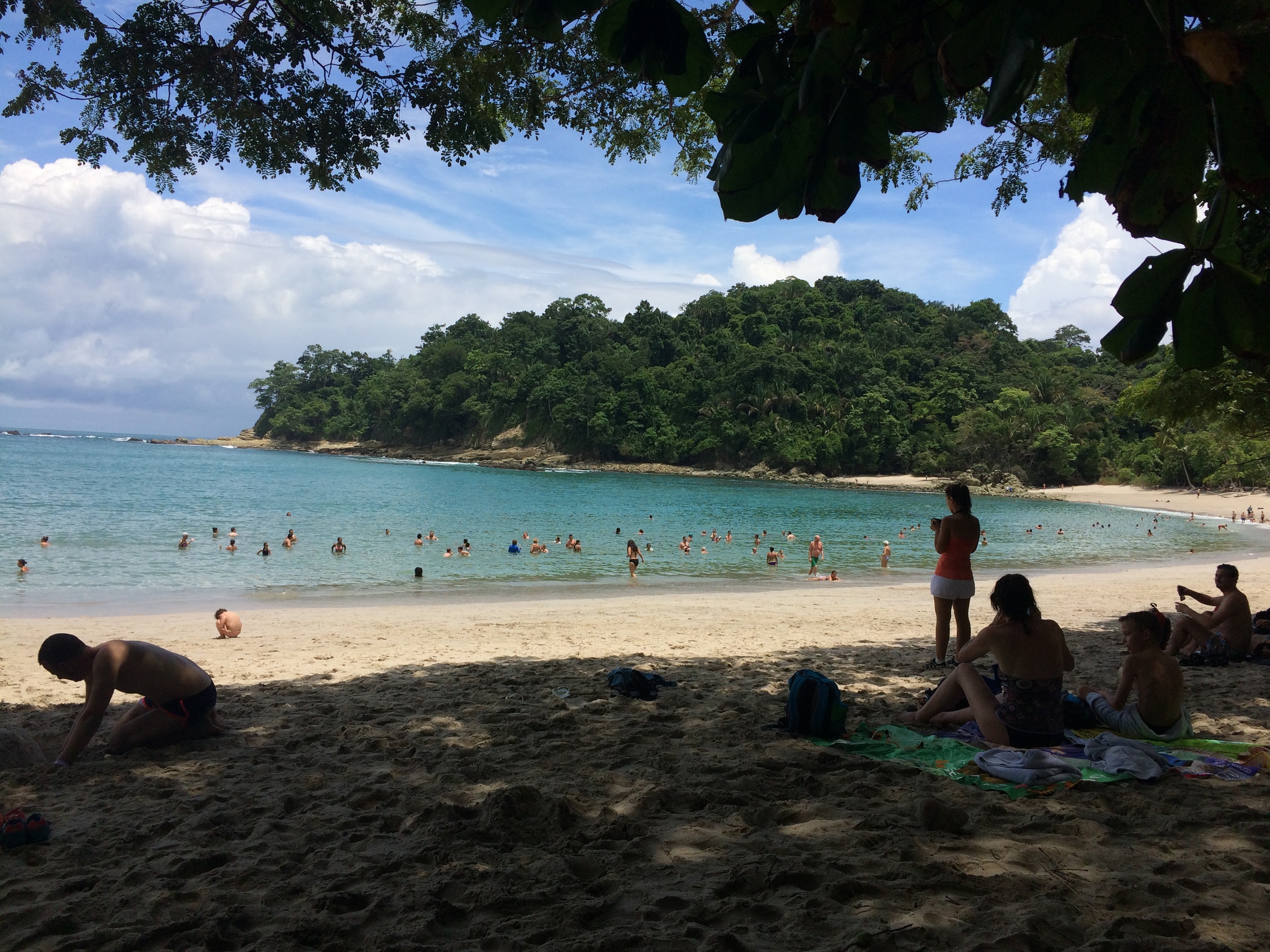
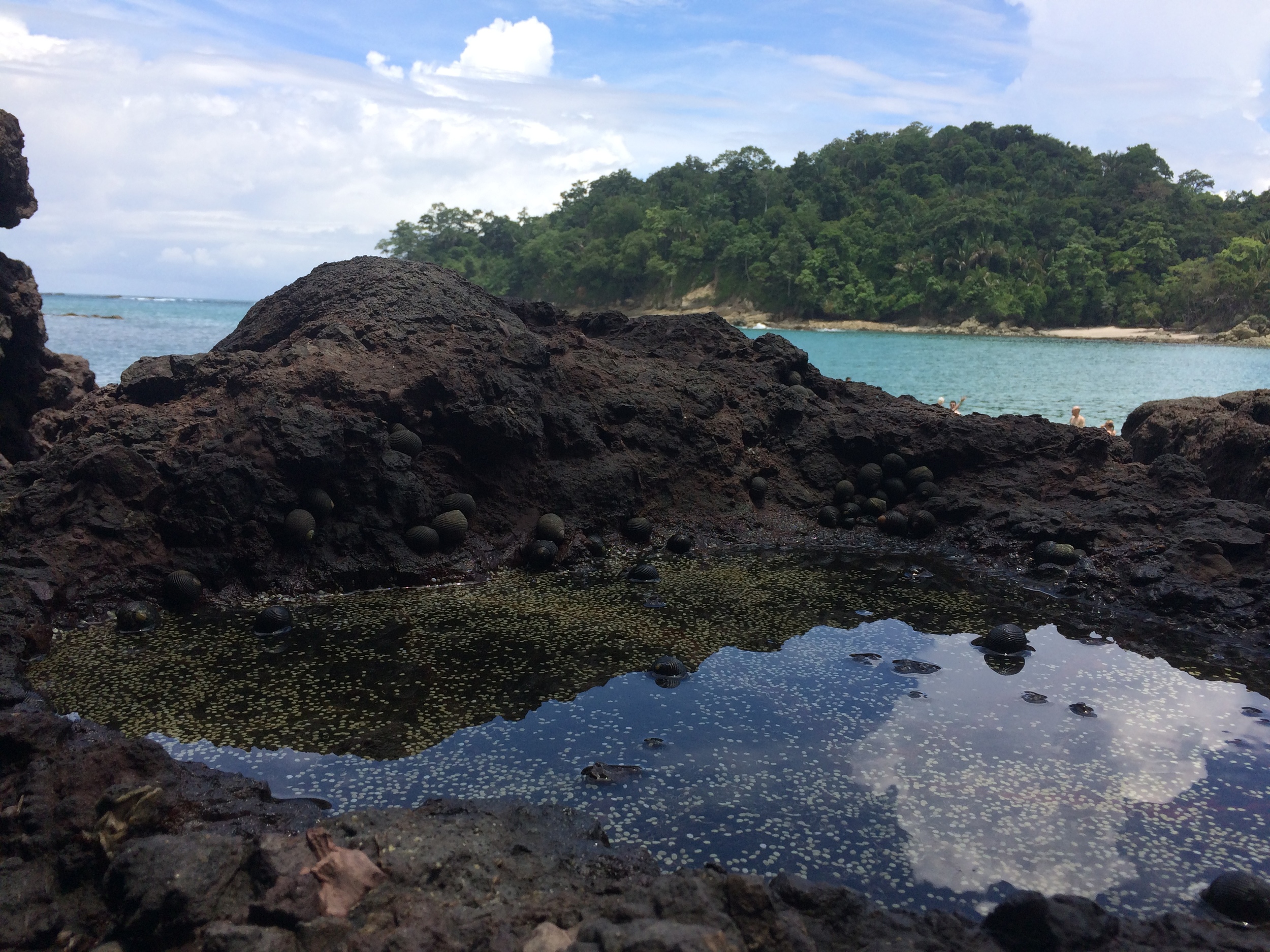
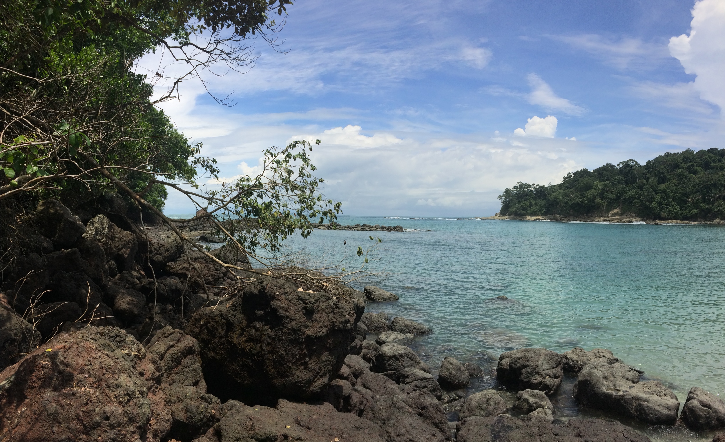
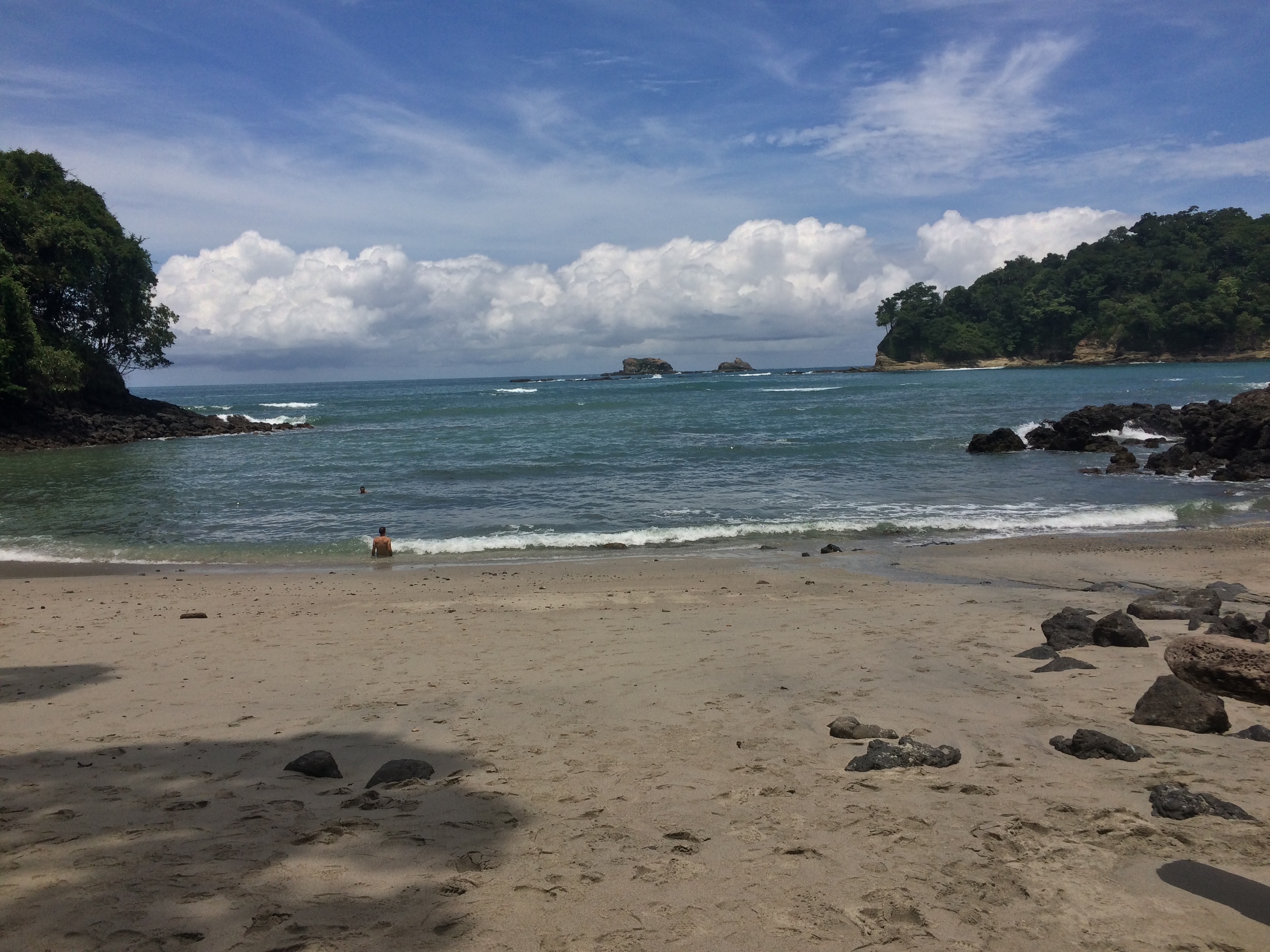
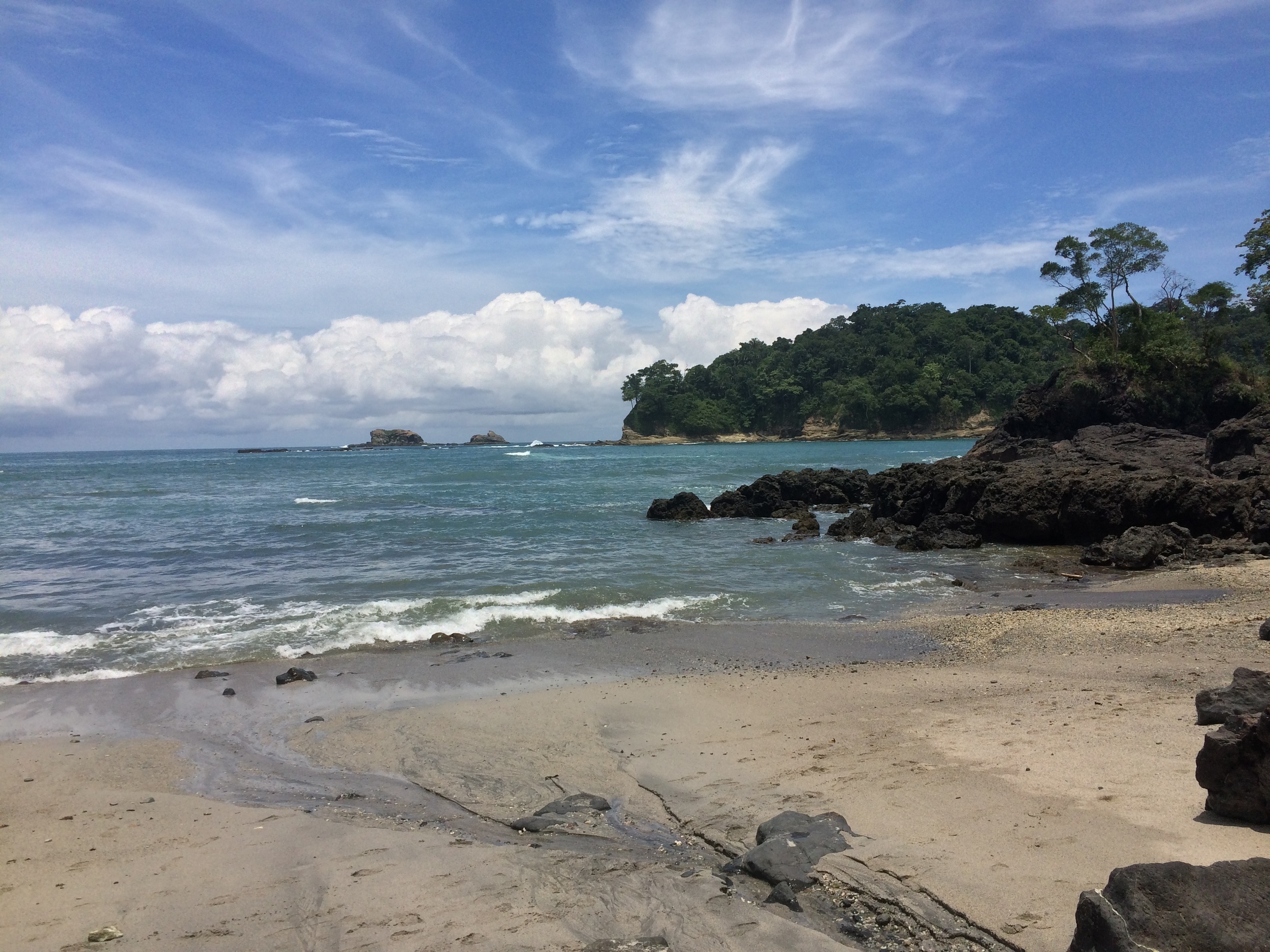
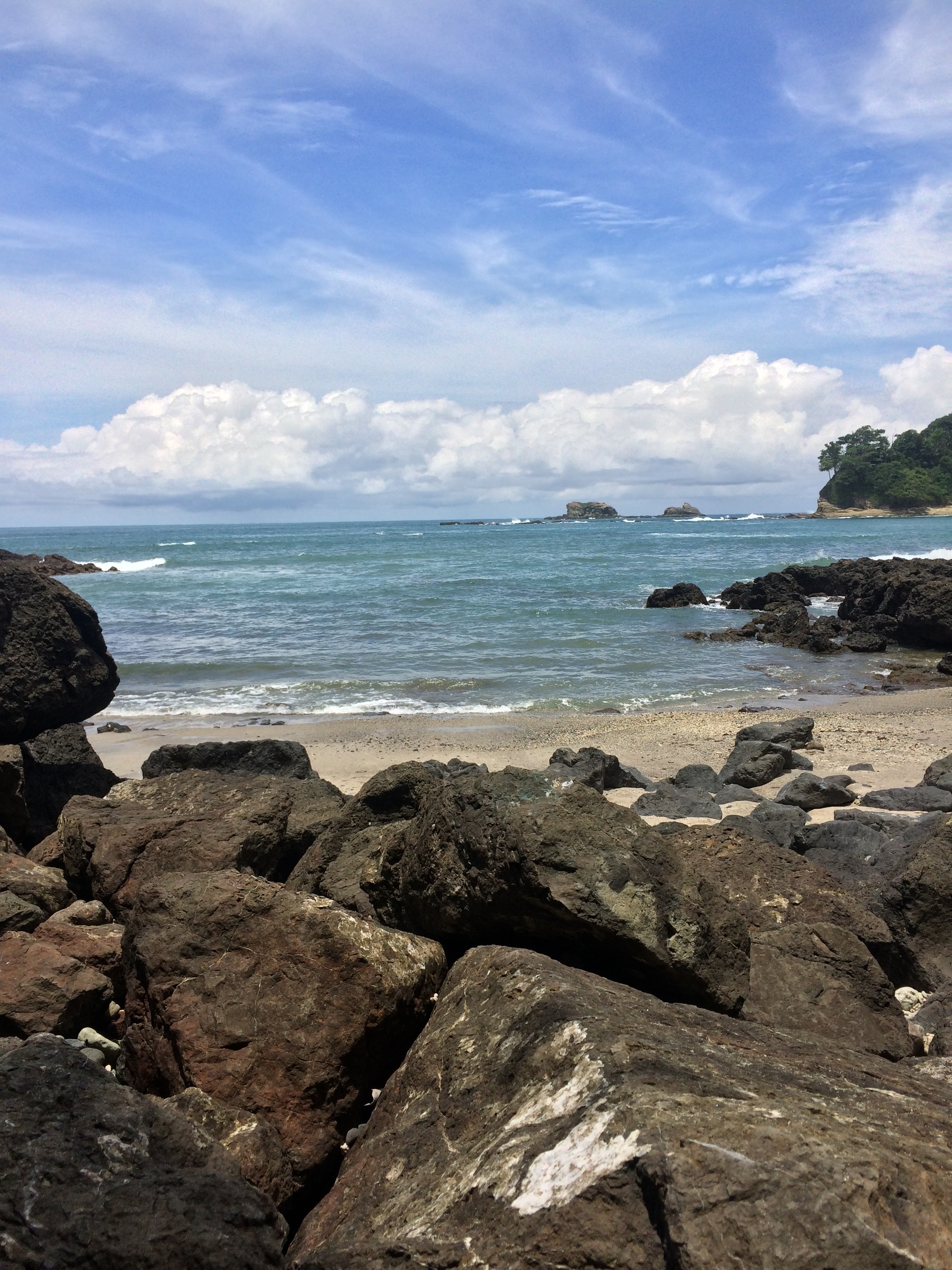
Playa Manuel Antonio. Manuel Antonio is regarded as one of the world's premier National Parks
Bordered by both the Caribbean Sea and the Pacific Ocean, Costa Rica is a country that offers excellent adventure opportunities on both land and water. The best location for adventure on the Caribbean coast is Tortuguero National Park, whose beaches are famous in and out of Costa Rica for innumerable reasons. The best location for adventure on the Pacific Coast of Costa Rica is Manuel Antonio National Park. Located on the Southwestern side of Costa Rica, Manuel Antonio National Park is Costa Rica’s smallest national park; however, despite its size, Manuel Antonio National Park is Costa Rica’s most famous national park.
Playa Espadilla, Manuel Antonio National Park
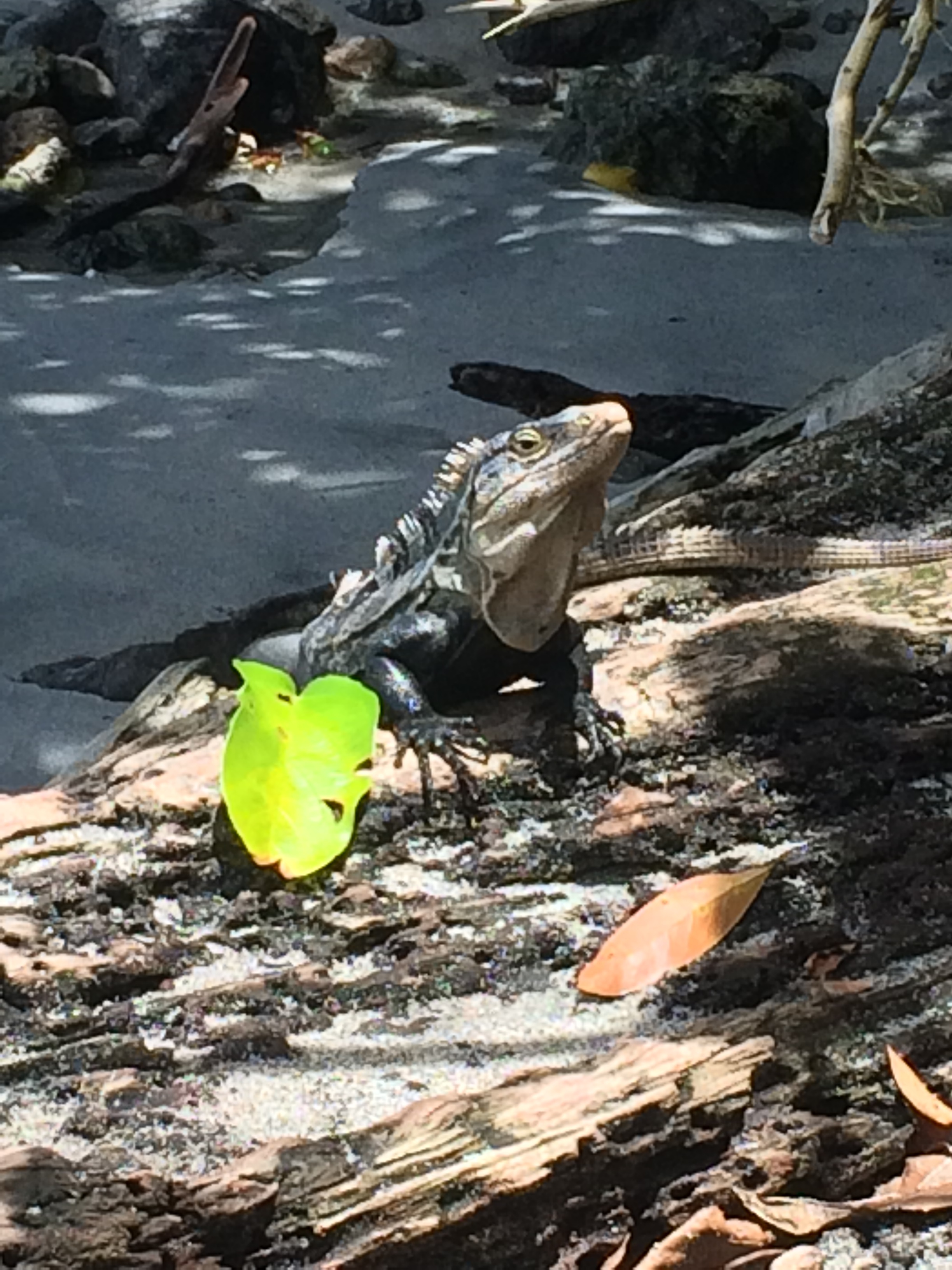
Manuel Antonio was established in 1972 as a location to protect the lush tropical forests and wildlife of the region, and today, the park has over one hundred and nine (109) species of mammals and one hundred and eighty-four (184) species of birds. If forests, mangrove groves, and animals didn’t provide enough reasons to visit, Manuel Antonio also contains four pristine white sand beaches, and has regularly been touted as one of the world’s most beautiful national parks. All of these features and more also make Manuel Antonio one of Costa Rica’s most popular parks; if not the most popular. Despite its popularity, Manuel Antonio has a number of hikes that provide great opportunities for solitude, and great opportunities to view some of the region’s wildlife.
Directions/Entry Fees: Manuel Antonio is located only one hundred and twenty miles (120 mi/192 kilometers) South of San Jose, and is located 8.2 miles (13.2 kilometers) South of the nearest town, Quepos. From Quepos, tourists should follow route 235 south to route 618, which ends at the National Park’s gate. Visitors to the region should be aware that this area of Costa Rica is popular for a number of reasons, including Manuel Antonio, and the route from Quepos to Manuel Antonio passes many restaurants and hotels. From the end of route 618, the entrance to Manuel Antonio is readily apparent.
The park is open year-round, Tuesday through Sunday, from 7:30 a.m. to 4:00 p.m. As of 2015, regulations are in place to restrict the number of visitors in the park to 600 people on weekdays, and 800 people on weekends and holidays. Additional regulations that went into effect in 2015 also restrict which food items and drinks can be brought into the park to promote conservation, and visitors feeding the local wildlife. Unlike American National Parks, entrance into the park is through a controlled gate, and bags are inspected for prohibited food items. The fee to enter the park is $6.00 per person (3211 in Costa Rican Colones); and children under the age of 12 are free.
Trails of Manuel Antonio National Park
Official Road (Camino Vehicular). While this is not the most exciting trail in the park, as it is the park road for Park Rangers, it is the trail that every visitor to Manuel Antonio will use at some point in time, as it begins immediately from the park gates. At 1.3 kilometers in length, it runs south toward a junction with bathrooms and showers immediately above Playa Manuel Antonio. A number of other trails listed below intersect with this trail; and although it is not the best place to see wildlife from, it is not uncommon to see sloths or monkeys from this trail. Both the distance and the fact that it is a flat, graded dirt road, make this trail accessible for all levels of hikers.
Waterfall, Manuel Antonio National Park
Waterfall Trail (Salida). Aside from the Official Road, this trail is the first trail that visitors to the park will encounter, as it is only .25 kilometers from the gate. This trail winds up and over a number of hills into the interior forested area of the park, and ends at a seasonal waterfall. As the waterfall (catarata in Spanish) is seasonal, its size does fluctuate. When I was there in August of 2015, the flow was somewhat small, but it was still something interesting to see in the park’s interior. Although this trail heads into the interior of the park, it is one of the more popular trails, due to its proximity to the park entrance. Overall, this is an easy to moderate trail as there is some minor hills visitors must ascend and descend on their way to the waterfall.
Sloth Trail, Manuel Antonio National Park
Sloth Trail (Sendero Perezoso). Some .25 kilometers further down the Official Road from the Waterfall Trail lies the Sloth Trail, which runs parallel to the Official Road. At 1.3 kilometers in total length, and mostly flat, this trail is also accessible to all levels of hikers. Moreover, this trail is a better alternative for visitors heading to Playa Manuel Antonio than the Official Road, as it has less people on it and also ends at the Showers and Restroom facilities above Playa Manuel Antonio. If the chance for wilderness solitude wasn’t appealing enough, this trail also has great wildlife viewing opportunities to view the three-toed sloth. When I hiked the Sloth Trail, I was fortunate enough to see eight sloths in the trees near this section of trail. While sloths can be seen throughout the park, this trail provides the best opportunity to see them, in addition to other animals.
Playa Manuel Antonio, Manuel Antonio National Park
Playa Manuel Antonio. From the end of the Official Road, or the Sloth Trail, a trail heads downhill from a cluster of restrooms and shower facilities to Playa Manuel Antonio (“Manuel Antonio Beach” in English). Playa Manuel Antonio, along with Playas Espadilla Norte y Sur (which are located off route 618) are the two most popular beaches in the park. As it is situated in a near-perfect semi-circle, and has white sands and crystal blue-turquoise water, Playa Manuel Antonio is truly a tropical paradise, and is a great spot to swim, relax, or do just about anything. Having said that, as it is one of the two most popular beaches in Costa Rica’s most popular park, it is not secluded – there will be people there. Even though this beach always has visitors, it is never overly crowded, as it is quite large, and because the park has day-use limitations. While most guidebooks and visitor guides will warn tourists of pickpockets or minor thieves preying on tourists at this beach, I found that a greater danger exists to gear from roaming raccoons and or monkeys, who were fearless about going through people’s gear in search of food. Despite being popular, this area is fantastic and remains a must- visit location in the park.
Playa Gemelas, Manuel Antonio National Park
Playa Gemelas. From the end of the Official Road, a trail heads south along the Pacific coastline to a number of points, including Puerto Escondido. The first point along this trail is Playa Gemelas, which is another stunning white sand beach like Playa Manuel Antonio. From the end of the Official Road, it is a .75 kilometer one way walk to Playa Gemelas. Unlike many of the other trails, this trail is a bit more strenuous as it features a fair amount of up-and-down terrain. While I would hesitate to classify it as strenuous, this hike is more of a moderate nature, especially given the humid and tropical conditions that exist year-round in the park. This is also a great trail to hike, because most park visitors do not venture further into the park than Playa Manuel Antonio. Correspondingly, this trail provides excellent opportunities for wilderness solitude and for wildlife viewing. The final destination – Playa Gemelas – is also a stunning beach, and is superior to Playa Manuel Antonio in that it is relatively unknown. Visitors to Manuel Antonio that are seeking a more secluded tropical beach experience should definitely consider hiking out to Playa Gemelas.
Puerto Escondido. The furthest point South in the park accessible by trail and the most hidden is also a great spot as well. From Playa Gemelas, the trail continues on for another .8 kilometers. Like the initial section to Playa Gemelas, the trail to Puerto Escondido has a bit of up-and-down terrain, and features a number of well-maintained staircases that eventually descend down into Puerto Escondido. Again, while this distance and type of terrain is not strenuous, the heat and humidity that exist year round make this a moderate hike.
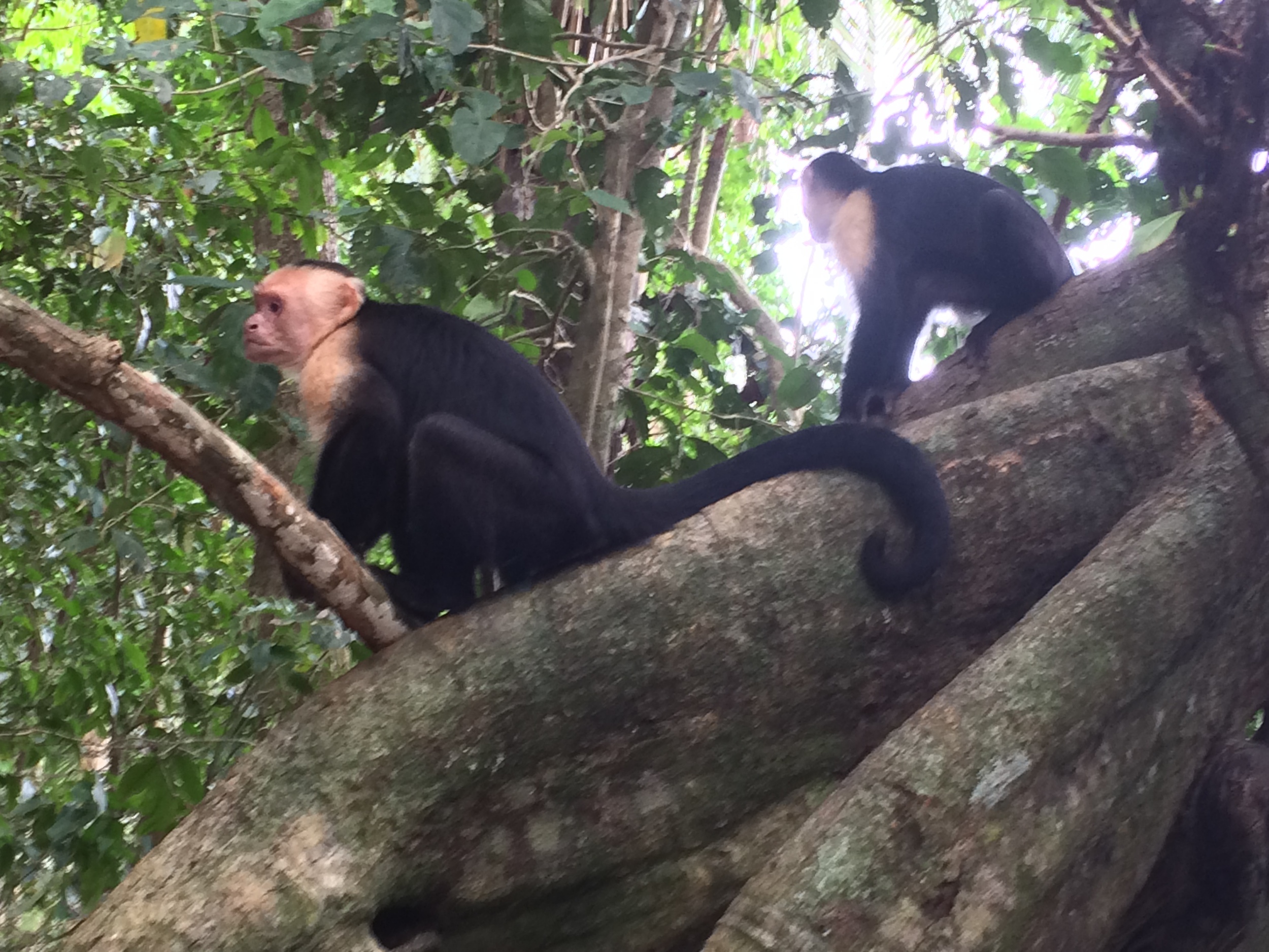
Capuchin Monkeys, Manuel Antonio National Park
Also, as I noted above, this is the furthest point South in the park, and is 3.2 kilometers from the main gate. A roundtrip hike from the main gate to Puerto Escondido and back would be 6.4 kilometers, which translates to four miles. Like Playa Gemelas, this is a great spot to hike to, because the amount of park visitors continues to decrease exponentially the further one hikes. The lack of people in this far corner of the park also means that there are great opportunities to view the wildlife present in the park. On my visit, I was able to see a group of six to seven capuchin monkeys in this section of trail, and it was a great experience. Overall, although the distance is somewhat longer, this is a great hike for visitors that have the time to fully appreciate the park.
No matter when one goes, visiting Manuel Antonio is a great experience, and as can be seen above, has a hike for everyone.
Tips: The weather can change in Costa Rica rapidly; and monsoon-like storms are common. Visitors to the park should be prepared with raingear, even if the day appears sunny. Visitors should also be prepared for hot and humid conditions year-round, and should bring plenty of water. Finally, although most of the park’s wildlife is well-removed from visitors in trees, visitors should be aware that wildlife is wild, and should try to keep any food away from wild animals if possible, especially on the park’s beaches as mentioned above. Separately, visitors should also keep their distance from the park’s wild animals to ensure safety. While monkeys for the most part are social animals, they will and can behave aggressively if they feel threatened. While I had no issues during my hikes around the park, I did observe other visitors having some unpleasant experiences with monkeys whose boundaries they did not respect. In short, enjoy the park, and enjoy its animals, but be sure to enjoy them from a distance that all parties feel comfortable with.

