Update: September 1, 2016. As an outdoor and travel writer, I believe that many places, including this one need to be treated with respect, and leave no trace principles. In the past, this has led me to not post directions - or provide directions to certain locations in order to preserve them. In terms of this post, when I wrote it in 2012, I wanted to share a spot that I had been visiting for years. Obviously, since 2012, many things have changed, including the popularity of social media (notably Instagram) and the popularity of the outdoors in general. Since I wrote the post, I've seen an exponential increase on social media about this place, as well as other blog articles. Recently, there has been a discussion about whether this place is "open" or "closed", especially among readers below, as obviously no one wants to a) get in trouble, or b) or jeopardize natural resources.
Based on the information I've seen, including some posted in the comments below, it appears that the area may be closed, and may have been closed at all times I visited (something I did not know). With that in mind, readers should be advised that the below article is strictly for information - namely, that a place exists, but that in all likelihood, it should be considered as "off-limits" for visitation. Finally, the reason I am somewhat indefinite on this is because of the following reasons: prior to writing this article, I had been to this location several times. During many of those occasions, I walked *right by* park personnel who said nothing to me about closures, even though this would have been during the time the area was off-limits (and, on one occasion, NPS personnel commended me for picking up trash in the area!). Separately, after writing this article in 2012, I spoke to park personnel on another visit about the area, and was told that there "was no closure". With respect to the latter, I do not regard this as "definitive" park policy, as I was not conducting an interview, and did not ask in a formal way, so such as statement may not be entirely accurate. Based on what I see now, it appears the area is closed. Visitors who wish to pursue this more should ask park personnel for a clarification (if one exists), and abide by whatever the answer is. While this may be disappointing, all of Southern California is full of sea caves, and great photo opportunities, and as such, plenty of other great places to explore and visit. For posterity, the original piece follows below.
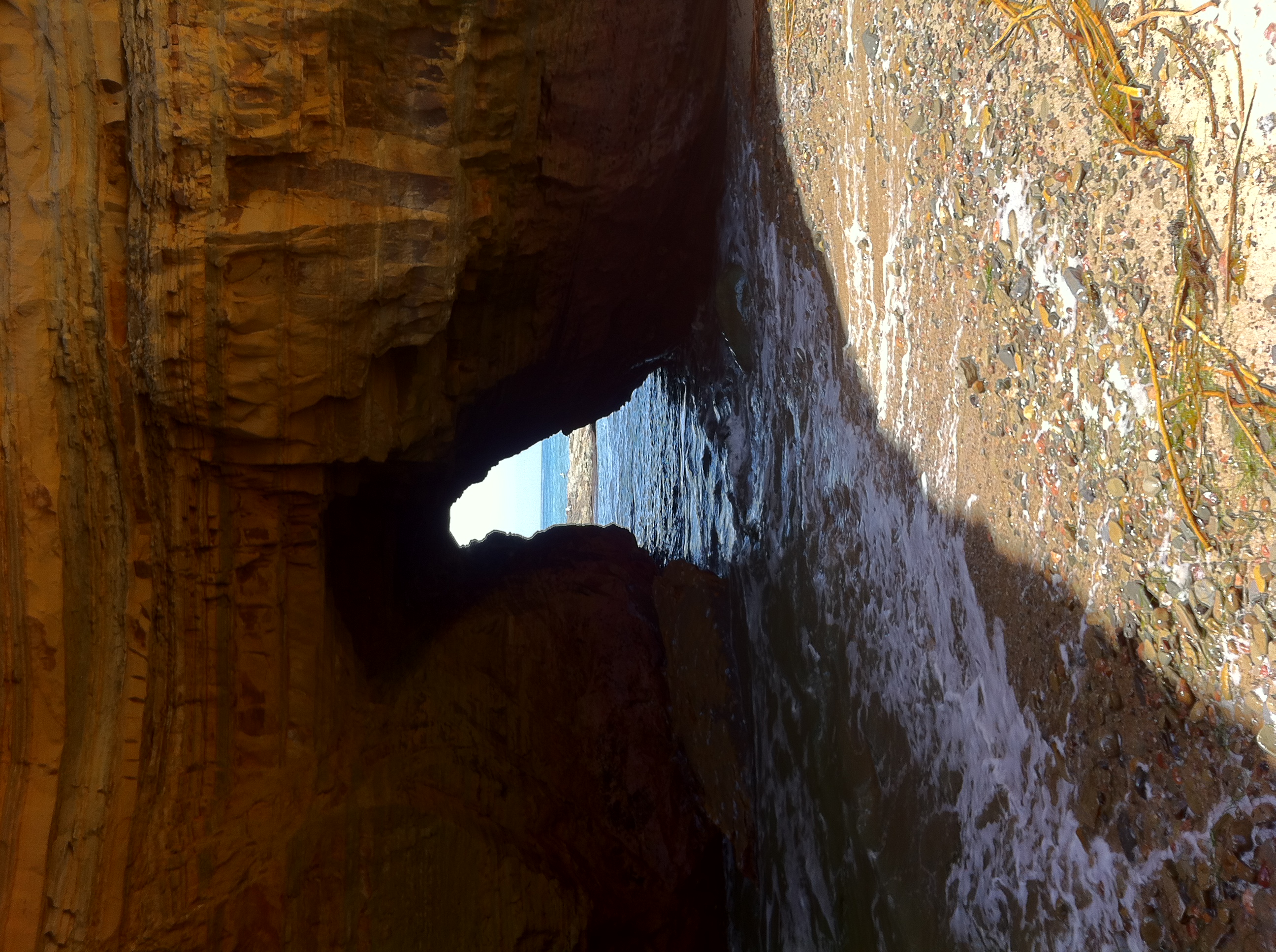
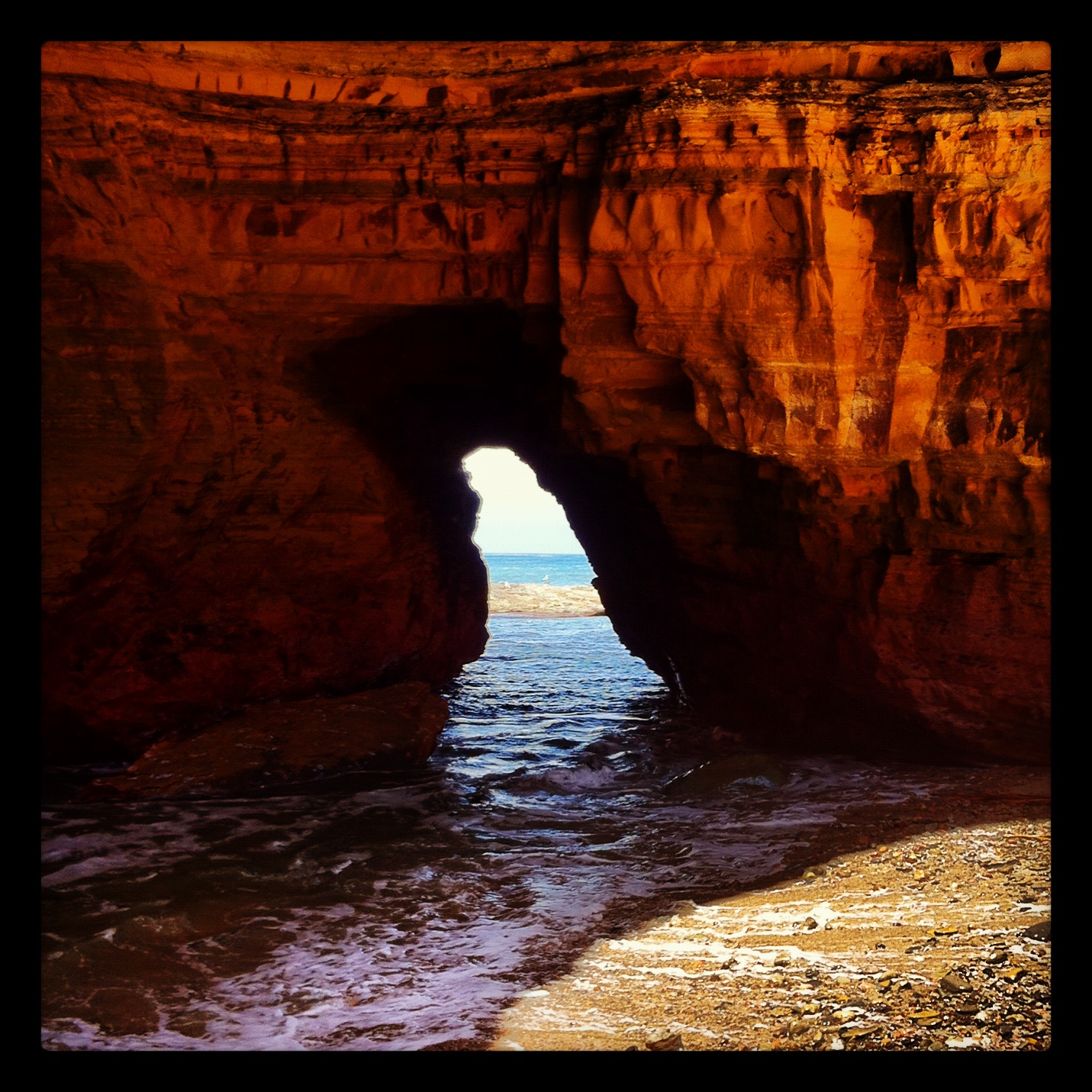
One of my favorite spots in San Diego County is the secret sea caves located at Cabrillo National Monument. In my opinion, the "trail" to the caves in Cabrillo National Monument is also the best "trail" in the monument as well. At this point, astute readers are probably wondering: “Why is ‘trail’ placed in quotations?” The reason I placed it in quotations is that the best trail in Cabrillo National Monument isn’t a trail; it's more of an adventure. And, in terms of full disclosure, this trail isn’t for everyone. For starters, it involves a little navigation, a little timing as it is only fully accessible at low tide, and a little swashbuckling. But, if your timing is right, and you are willing to take some small risks, the payoff is fantastic.


Directions: Cabrillo National Monument is the only National Park Service property located in San Diego County, and it is a beautiful spot that is located at the end of Point Loma. There is only one road in, and one road out; and this road is closed once the sun sets. Shortly after the park entrance, there is a road that descends down to the coast marked as "Tidepools". Turn right at the road, and follow it down to the shore. Once you are down in the tidepool area, you will pass three parking lots; and the best parking for this hike is the second to last or last parking lot. However, as these parking areas are small, you may need to park wherever there is space. From either of these parking areas, you will proceed South along the Tidepool and Bluff Trail to an access point heading down to the cliffs and tidepools below.
Prior to this point, the hike is a normal walk along a maintained National Park Service Trail. However, once you are are the base of the cliffs, there is no trail, and it is at this point that the adventure begins. This is where the trail involves swashbuckling and timing. At high tide, or at very high tide, the water will be up to the cliffs; and will be covering the rocks. Do not attempt this trail at this time. Portions of this walk involve crossing rocks that, if you fell, you would likely be injured, by hitting rocks in the water, or you could potentially drown based on the currents pushing against the cliffs. As an additional matter, you could also be swept off the cliffs by high surf. Do not attempt this trail at high tide! As a final practical point here: even if you do not listen to me, you will not be able to reach the cave at high tide, as the access points will be underwater. Assuming it is low tide, or near low tide, follow the rocks North along the base of the bluffs. Even at low tide, this is where the swashbuckling/adventure comes into play.
The rocks and cliffs at the base of the bluffs are sedimentary rocks; meaning that they are comprised of millions of years of sediment deposits: some are more stable than others. Keep your feet on the stable, firm, compact sedimentary rocks under your feet, and do not attempt to traverse the soft sandstone cliffs to your immediate South and East. Translation: keep your feet on the rock below you, and don’t try to climb around on the sandstone cliffs above you. As you head North along the cliffs, you will pass through an area that is wide enough for people to walk, but not much more. Then, you will have to traverse a long tidepool that is at sea level. Again, timing is everything. At low tide, it is possible to cross on the rocks and stay dry; at high tide, the area is impassible; and at medium tide, you will get wet.
Once you are through the tidepool, you will be on firm rock again: continue around the next corner, whereupon you will be in a small cove. Follow the shoreline of the cove along the base of the cliff. At the back of the cove, there will be a small sea cave that enters a foot into the cliff, but goes no further. This is not the cave you are looking for! Continue to follow the shoreline along the cove, and when you are at the far side of the cove, there will be a tiny tiny entrance in the stone for you to squeeze through. Although I hate to say this, the truth of the matter is that if you are a large person – 6’5 or taller, or just big boned, you may not be able to fit through the opening (pictured above), as it is a small small space to squeeze through in the rock.
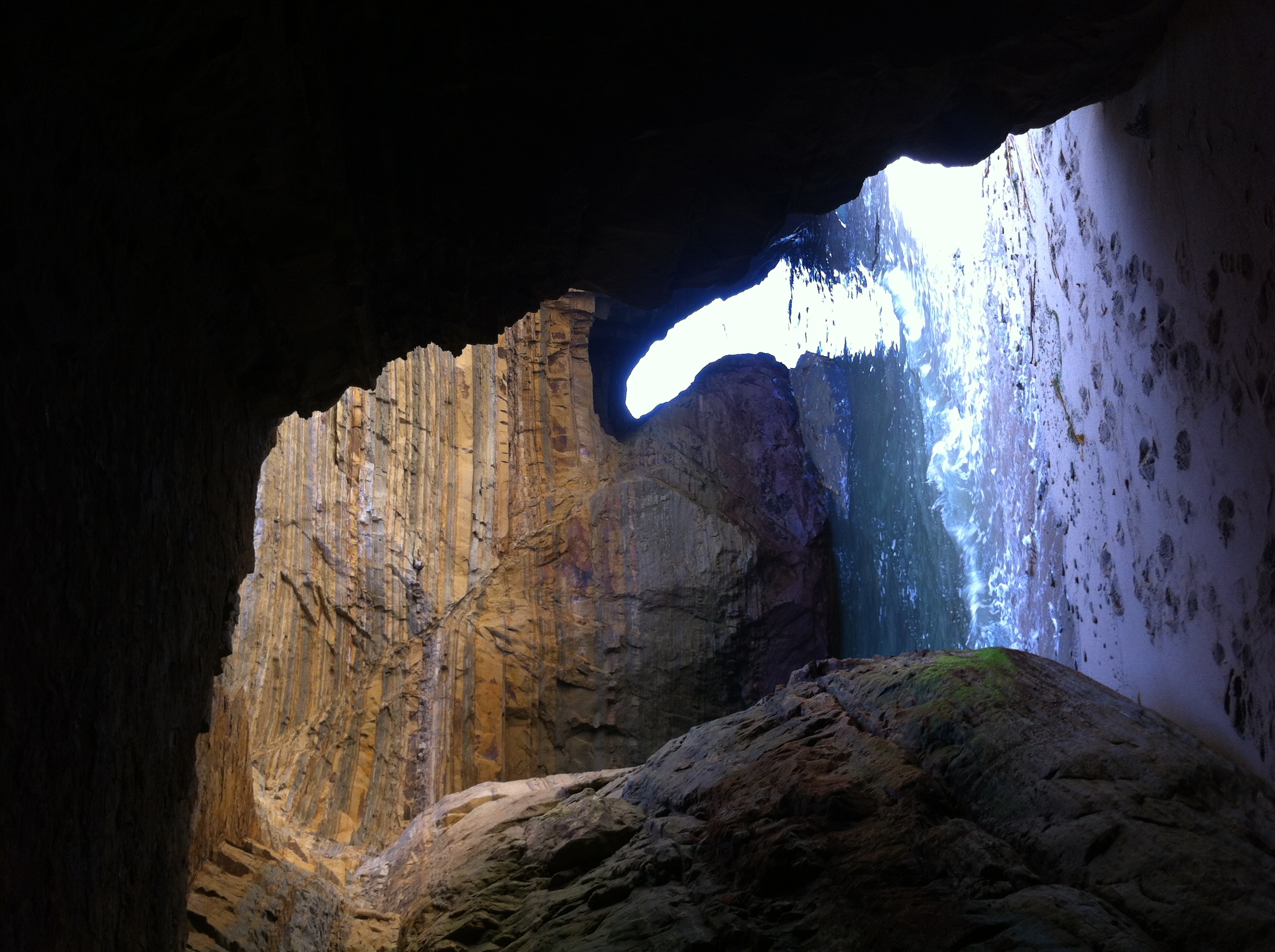
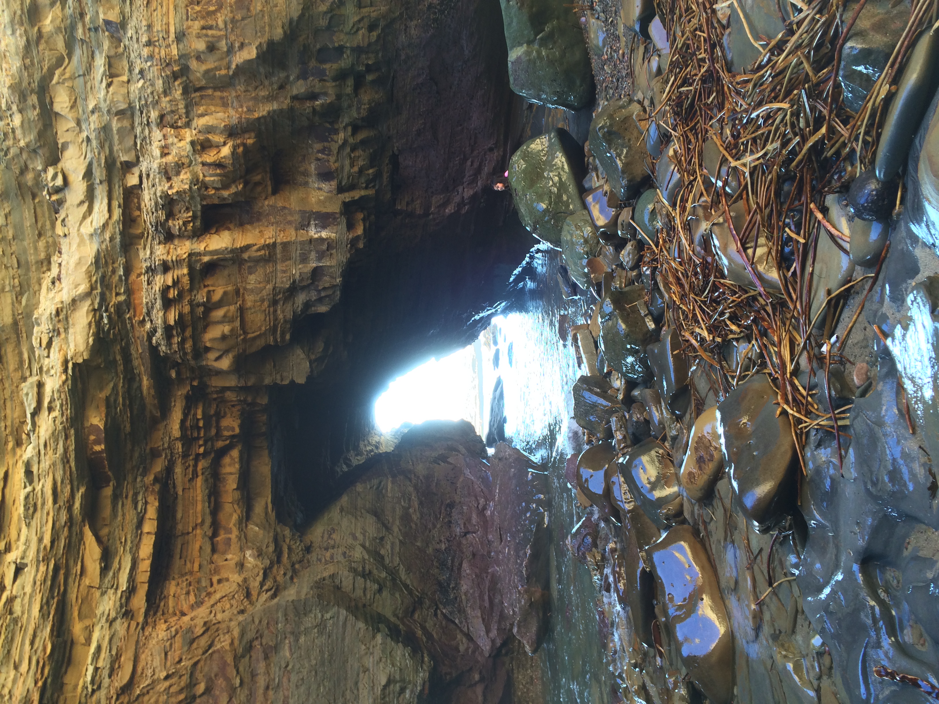
Assuming you can fit through the opening, you will find yourself in a large passage that enters into the cave. From this point, there is a secret beach, with two openings heading out to sea, and a large pile of rubble where the roof of the cave collapsed years ago. At this point, take a moment to explore, and then enjoy the rest of your time in this spot that seems like it should be from another time. Distance wise, you’re talking no more than a mile, roundtrip. Once you are done, head back knowing that you now know the best trail and hike in Cabrillo National Monument.
Tips: Watch the tides! Again, this is not something I would recommend at high tide at all. Keep an eye on the time as well, in order that you do not get trapped by the ocean in many locations on this walk. Also, keep an eye on your footing in many locations, and be mindful of your surroundings. Lastly, this is an amazing spot – don’t ruin it. The wind, waves, and other natural phenomena have worked for thousands of years to produce this feature – keep it pristine and leave only footprints. Finally, along that note, this is an area where lots of trash floats up on shore – buoys, lobster traps, and other trash. Do the planet and this hike a favor and pack out some things from the shore if you can. The animals, and other people will thank you. And, for the people who like a good laugh - or a good mystery, watch the video below.
