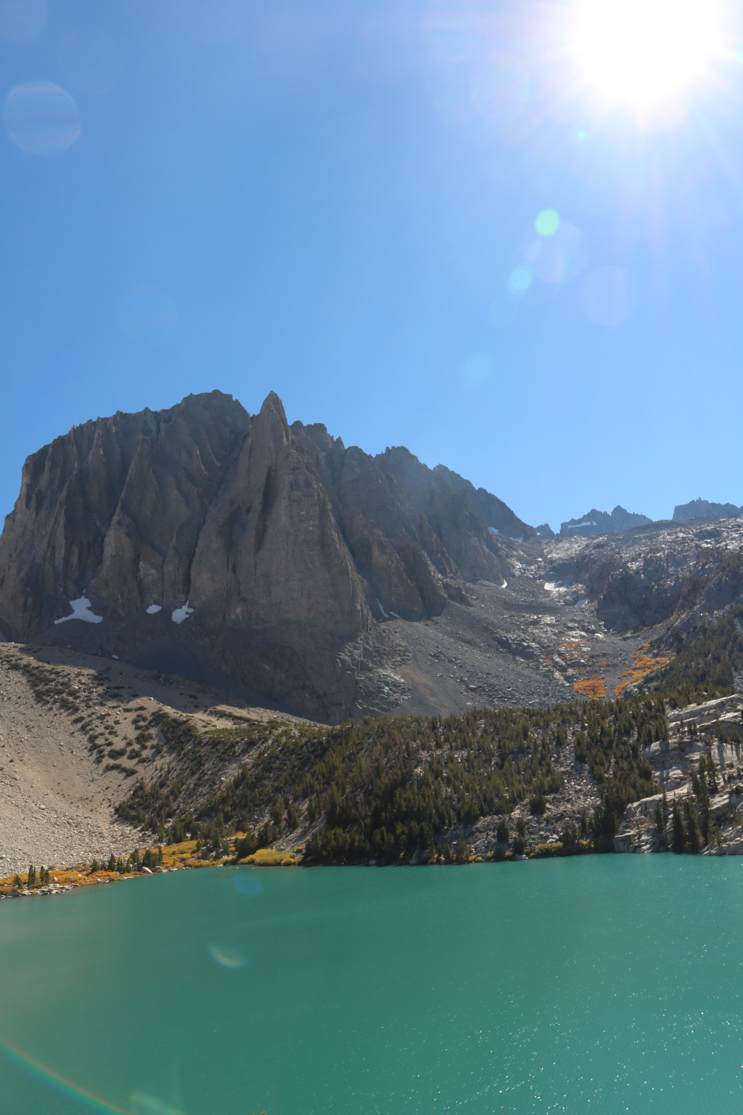
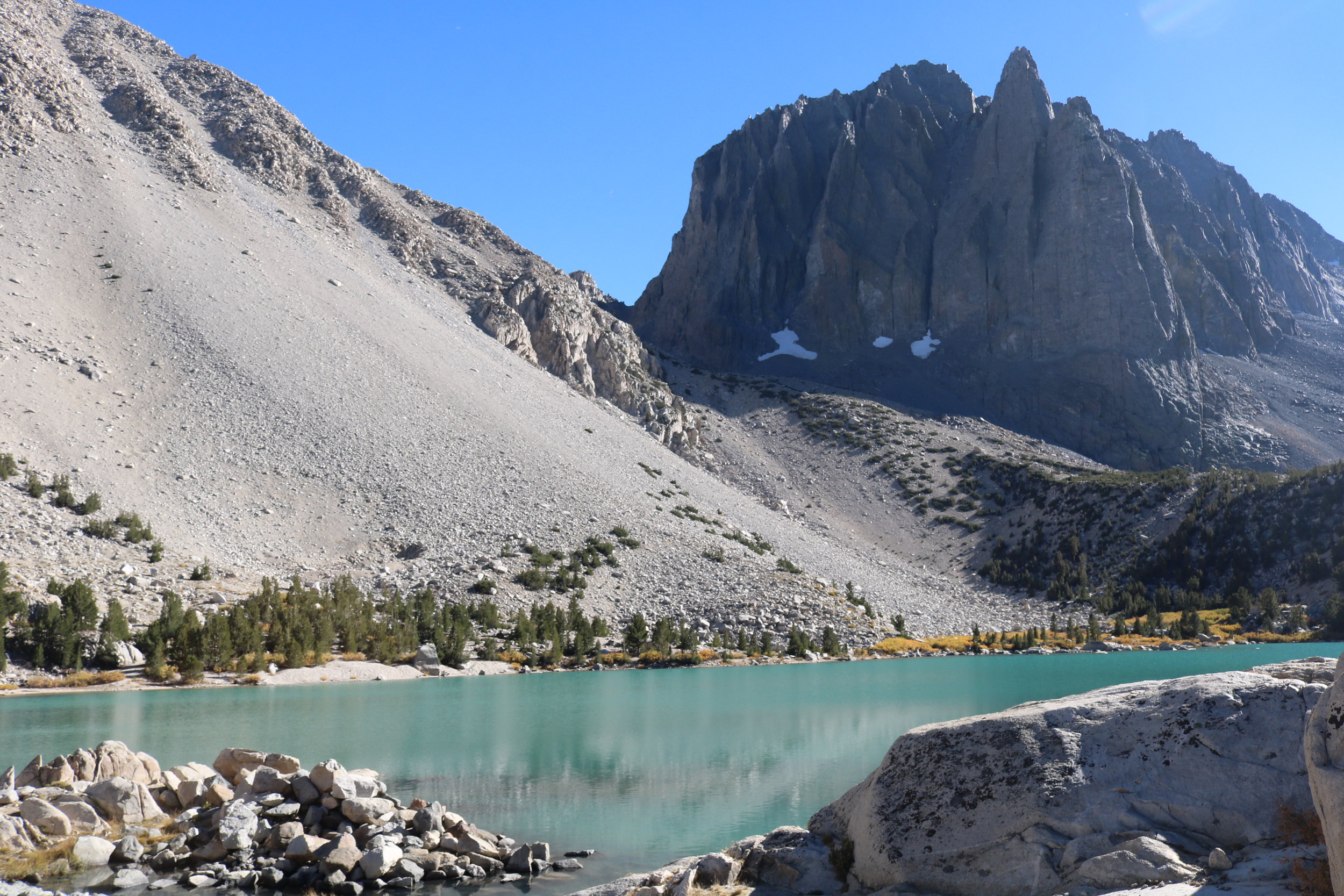
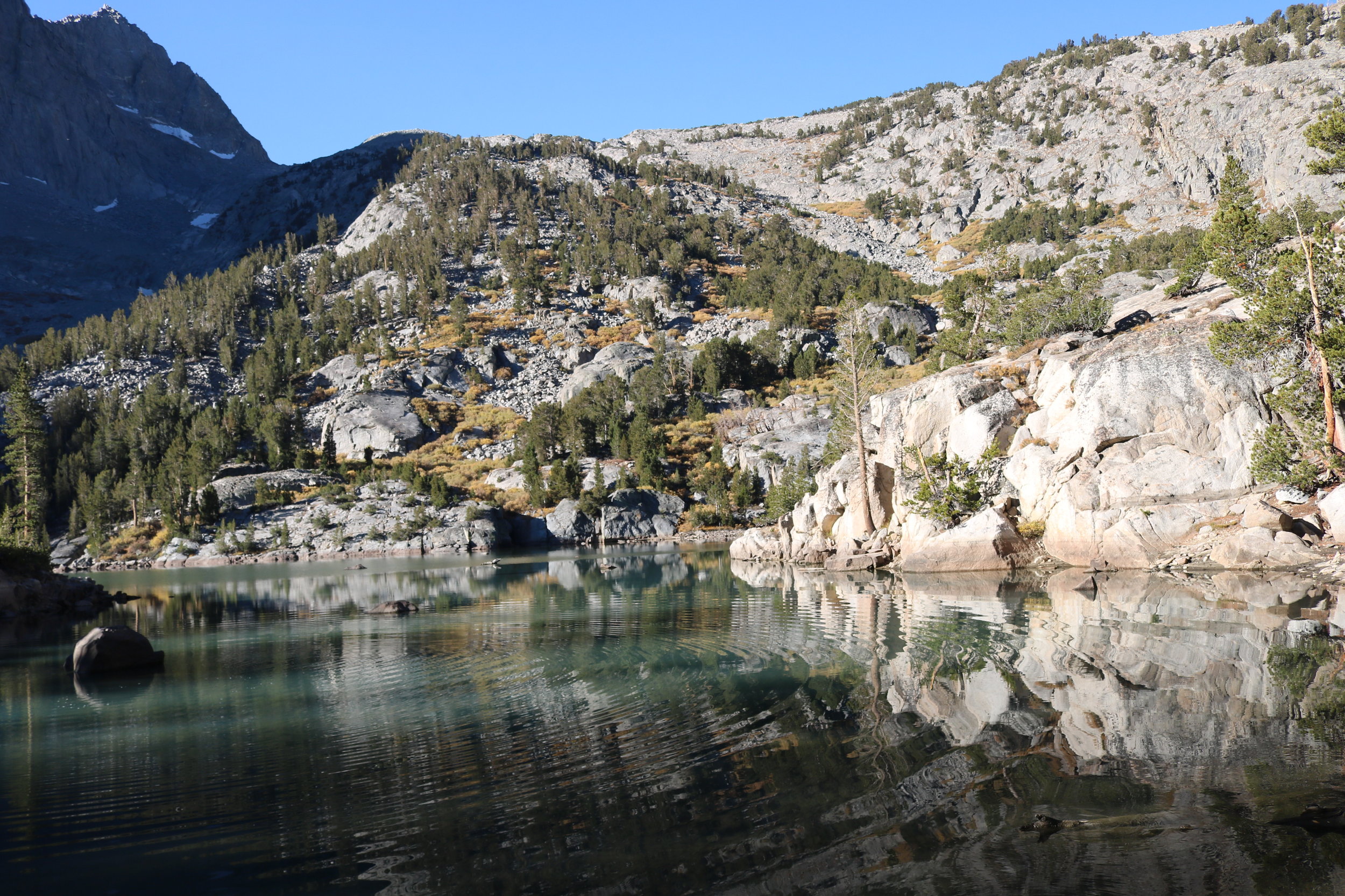
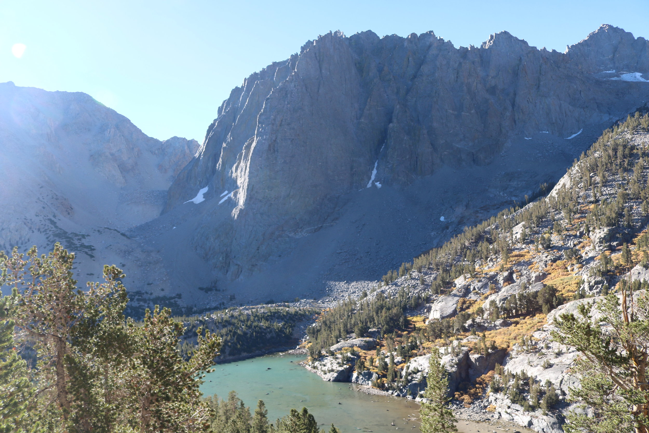
Chances are, if you have any sort of social media presence, you’ve seen with increasing frequency some sort of picture of people, tents, or both laid out artfully in front of tall mountains and crystal blue lakes. And, if you’ve seen these photos and there wasn’t a caption, you probably wondered where these lakes were, and if the photos were photoshopped. These lakes are the glacial lakes of the Big Pine basin, specifically located off the North Fork of Big Pine Creek; and for the most part, there is no photoshopping of the photos of these lakes – they actually do look like that way in real like, with brilliant shades of cerulean blue. The lakes popularity, however, precedes social media, as the trail up the North Fork of Big Pine Creek has long been one of the most popular destinations in the Inyo National Forest. As a matter of fact, the only thing unknown – and unspectacular about these lakes is their names. For unknown reasons, the lakes – and the waterfalls along this trail were given generic names – “First Waterfall”; “First Lake”; “Second Lake” through “Seventh Lake”. My personal suggestion for hikers or backpackers visiting the area – call them whatever you want, because they are amazing.
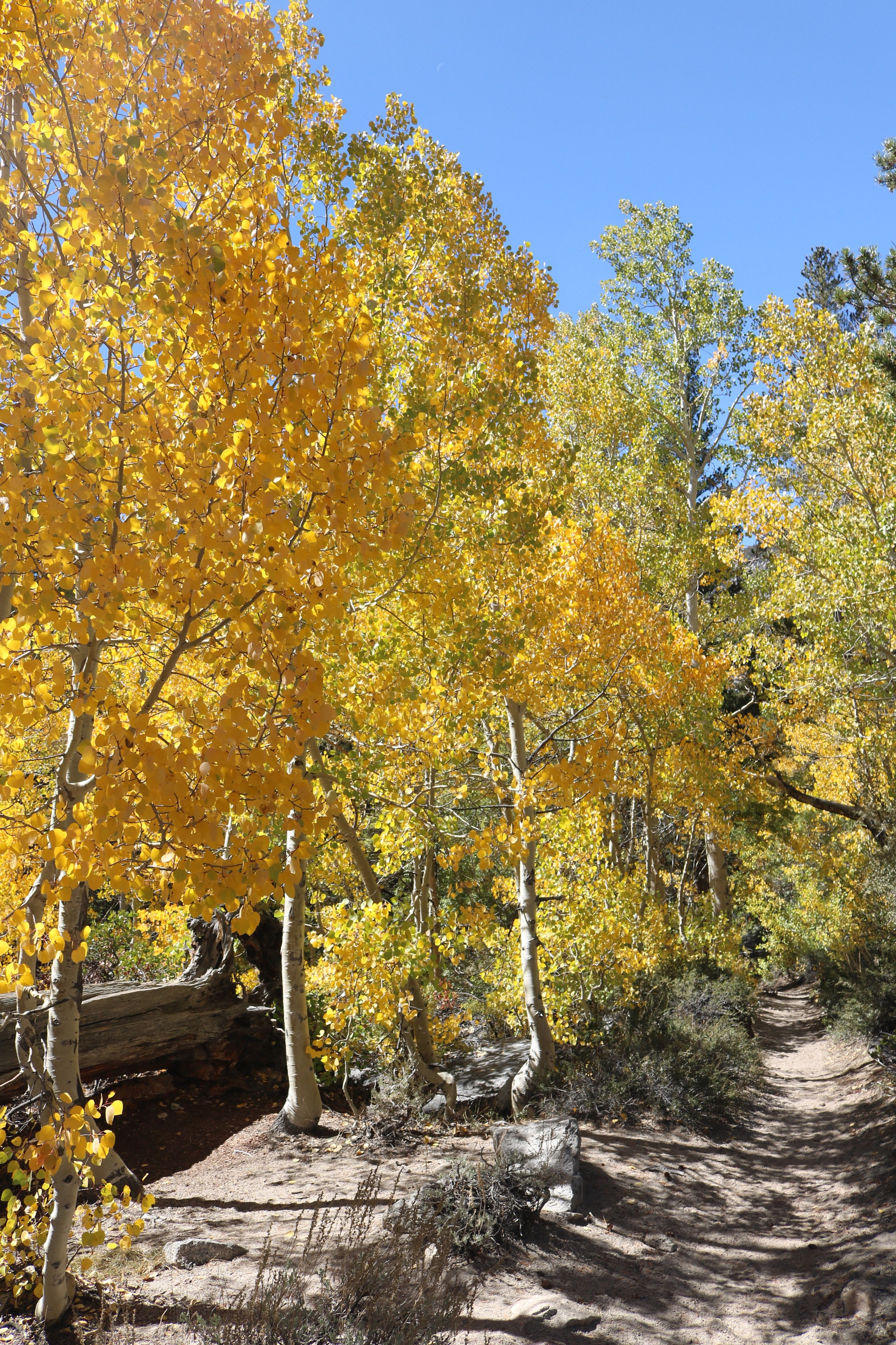
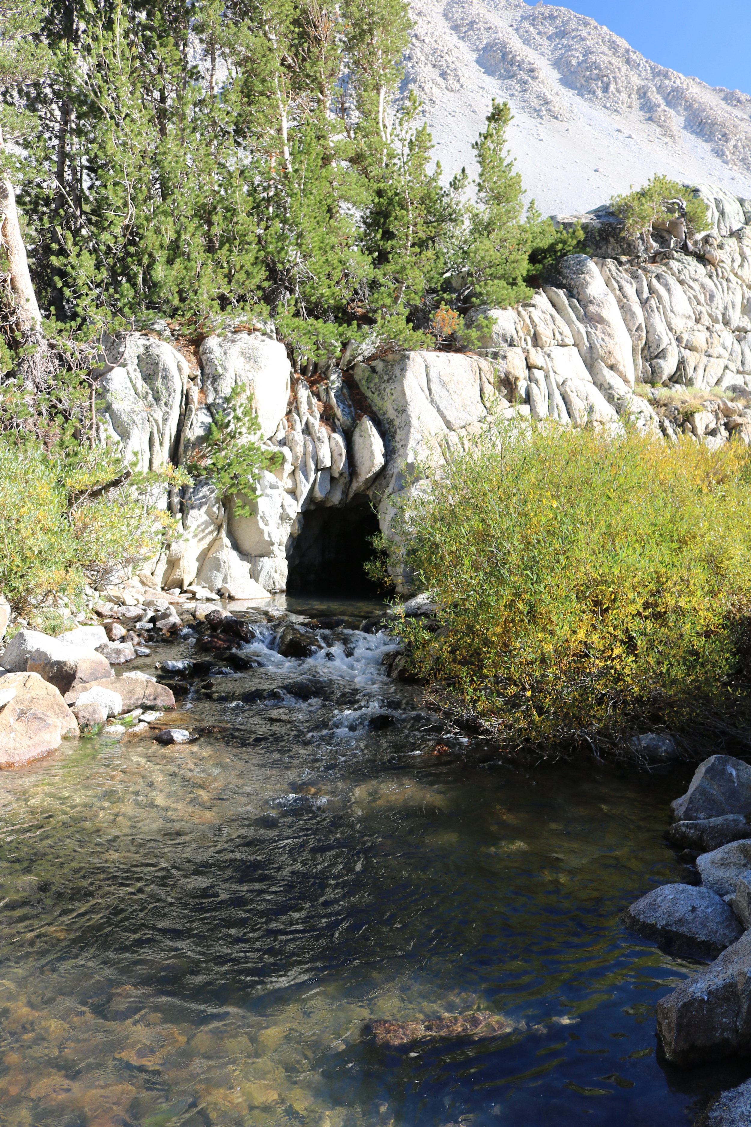
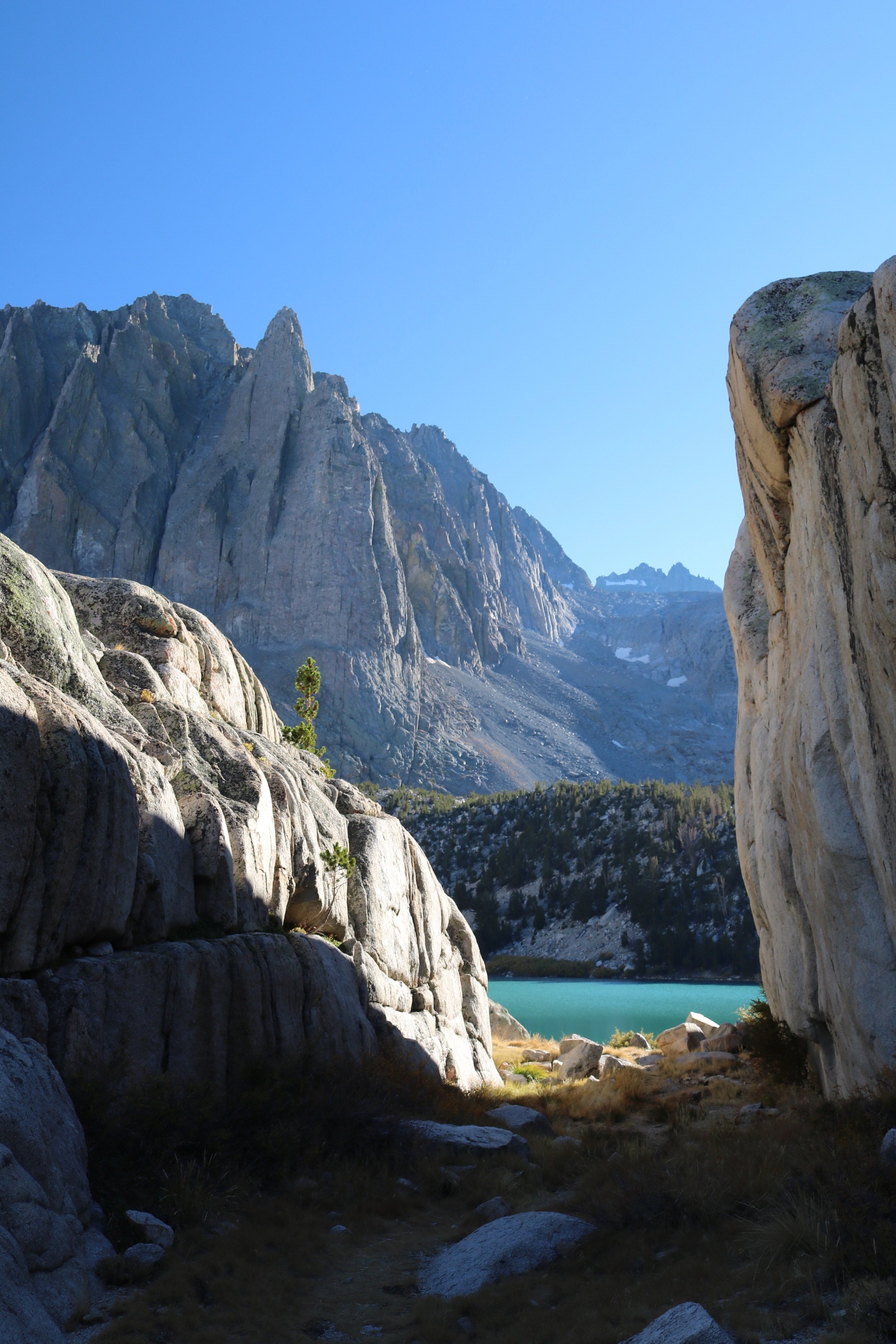
Slightly before First Lake, North Fork Big Pine Creek
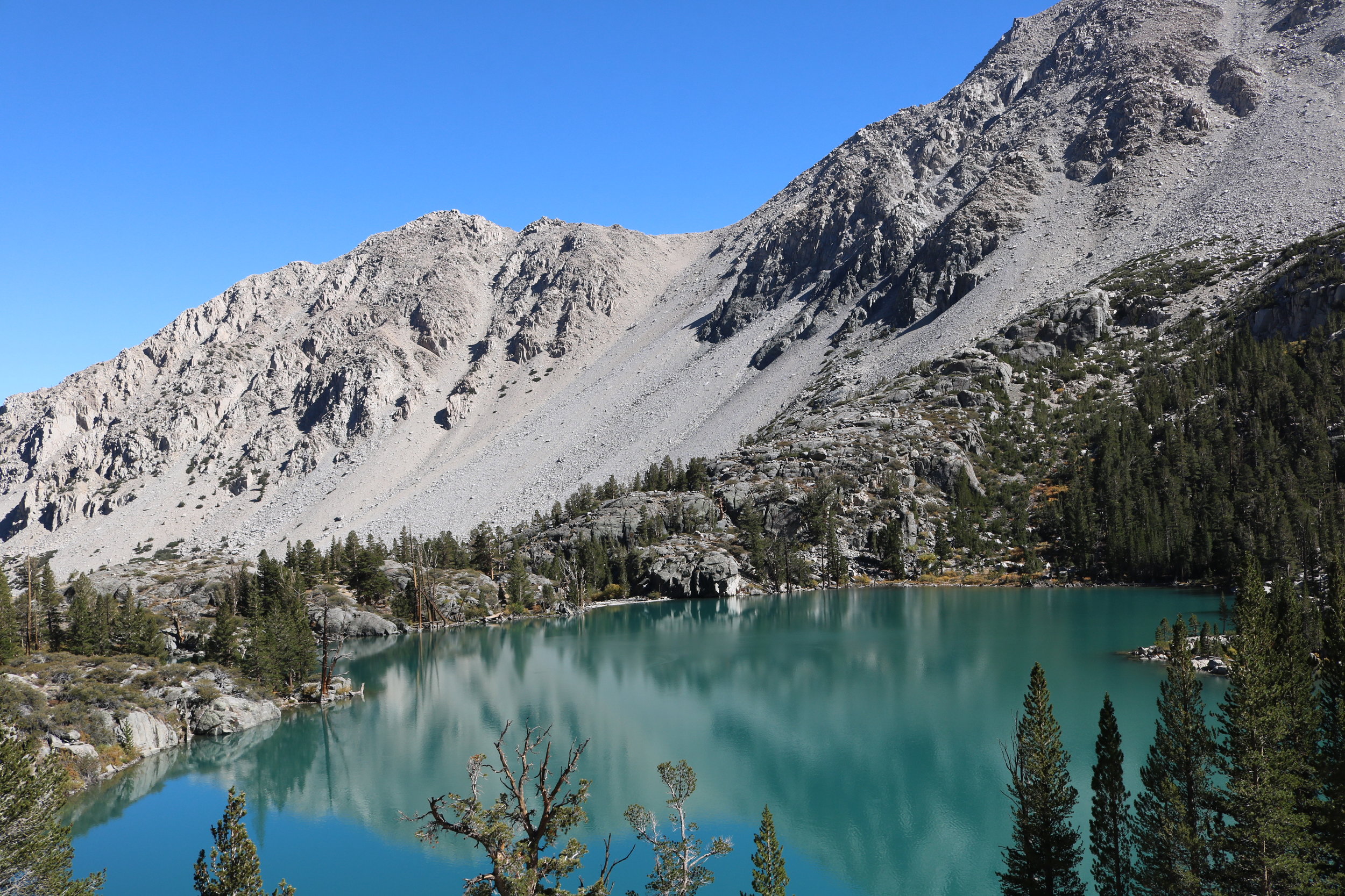
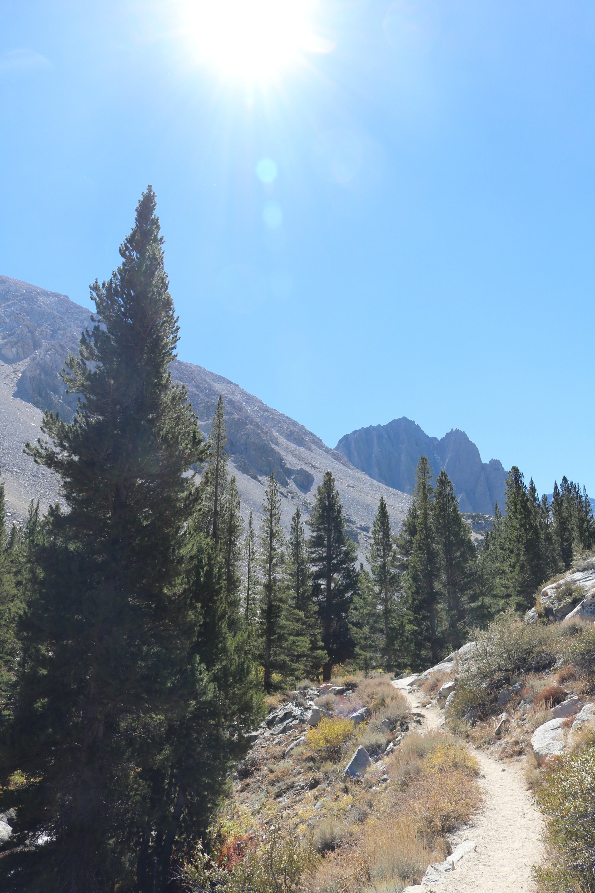
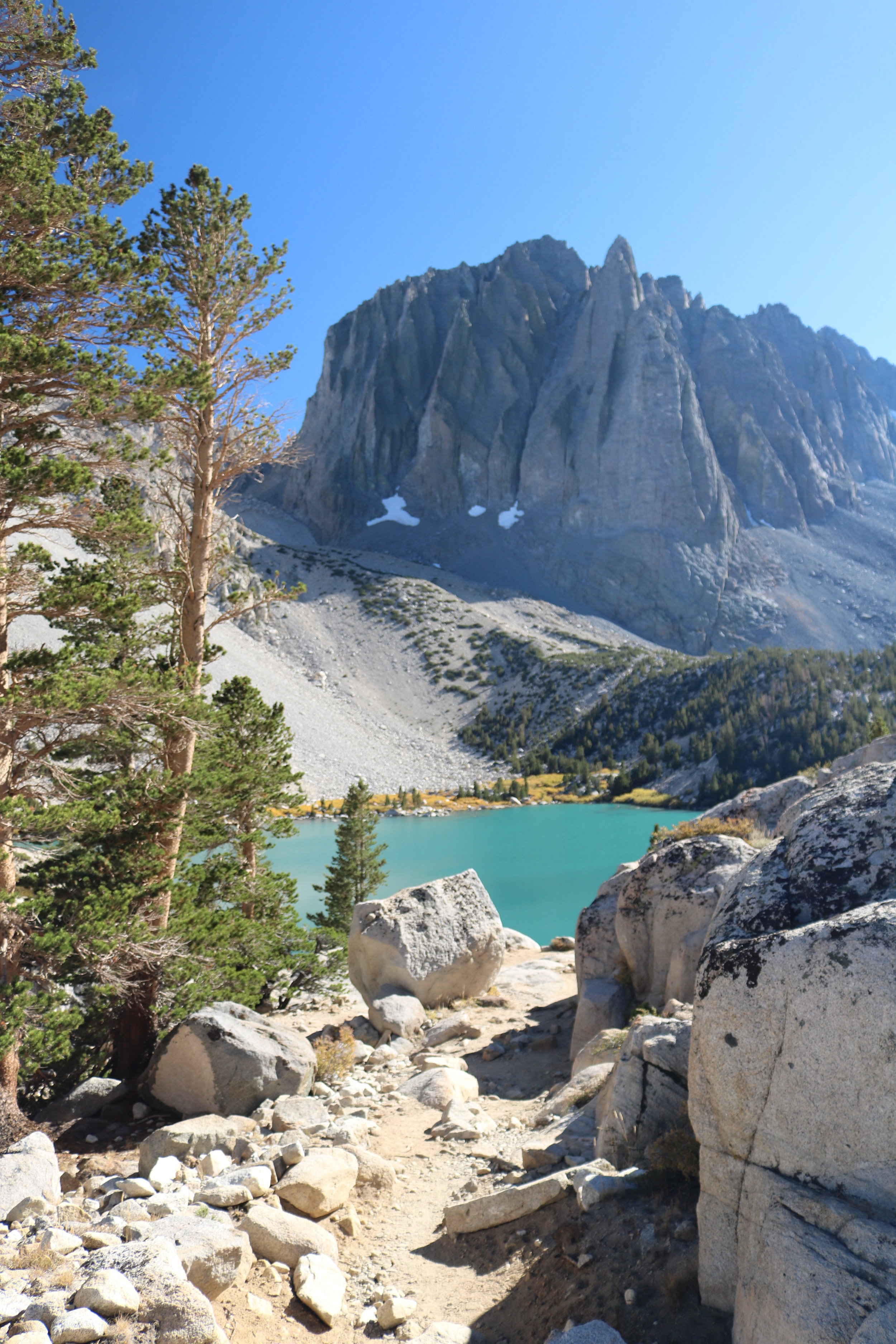
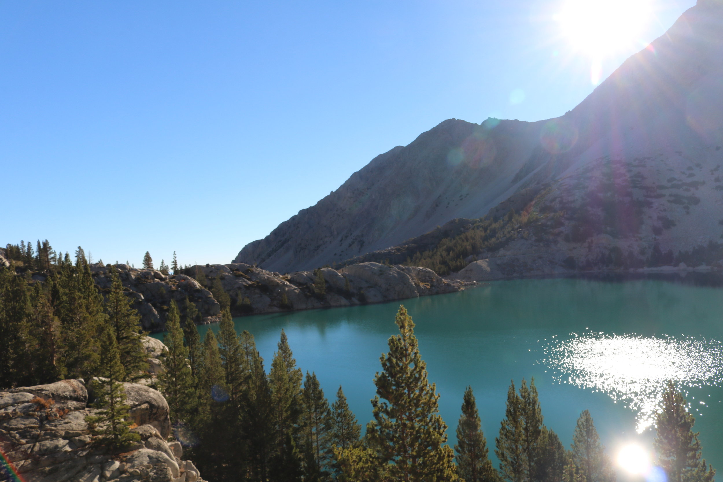
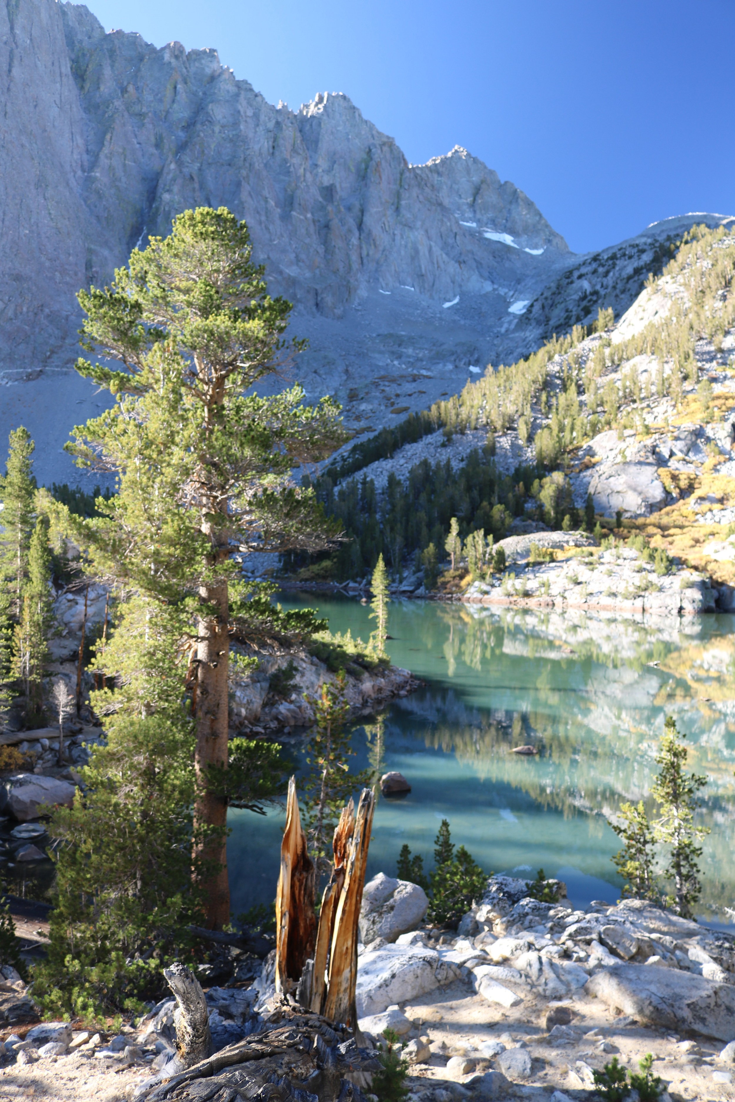
Directions: The glacial lakes are located off of the North Fork of Big Pine Creek trail; and while day-use hikers do not need a permit, backpackers do need to have a permit and a bear canister for this trail. For the first three and a half miles, the route is exactly the same as the day-trip described here to the Lon Chaney Cabin. From the cabin, the trail gradually ascends over the course of the next mile to First Lake (9,960 feet of elevation), four and a half miles from the trailhead. The trail provides a great overlook of the lake, before continuing on to an even more stunning view at Second Lake (10,059 feet elevation; 5.5 miles from the trailhead). As the pictures demonstrate, both lakes are of stunning color and clarity, and it is hard to say which lake of the first two is “more beautiful”.
First Lake
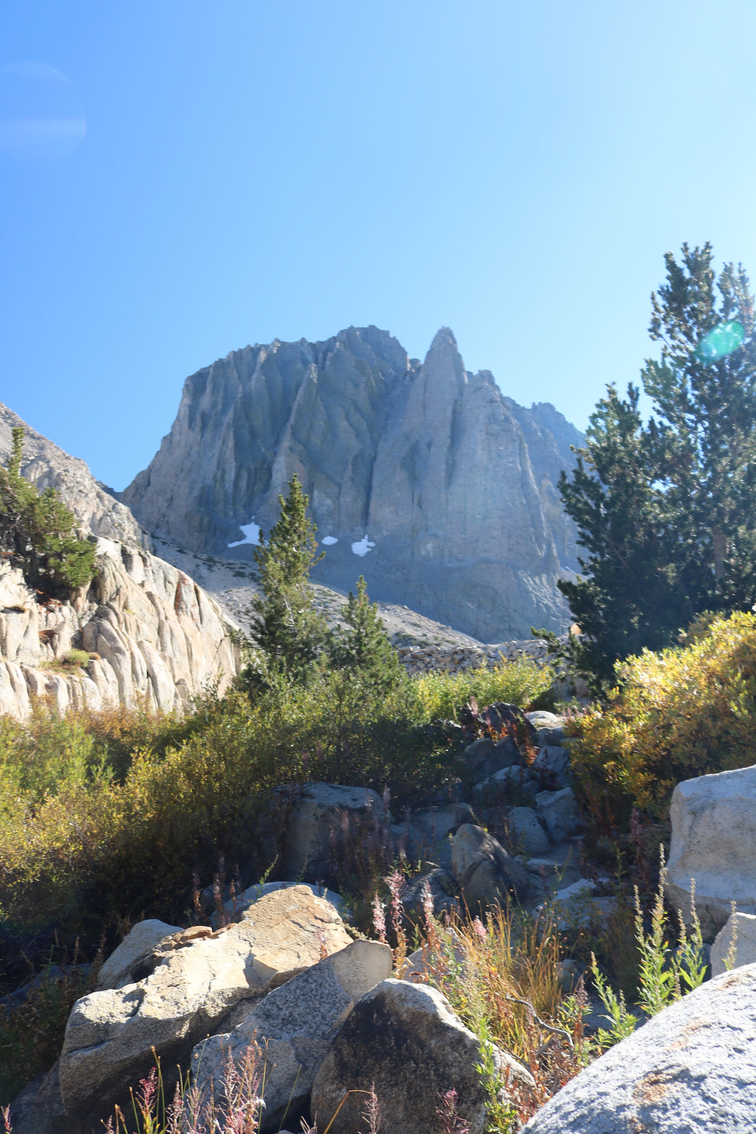
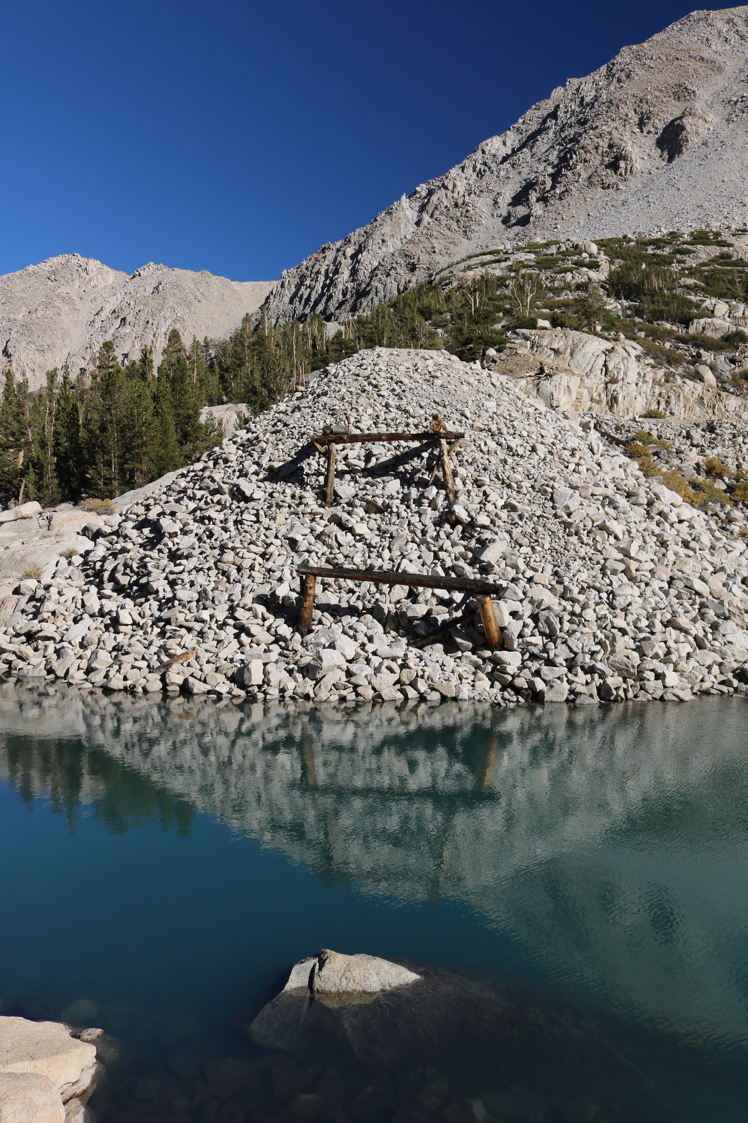
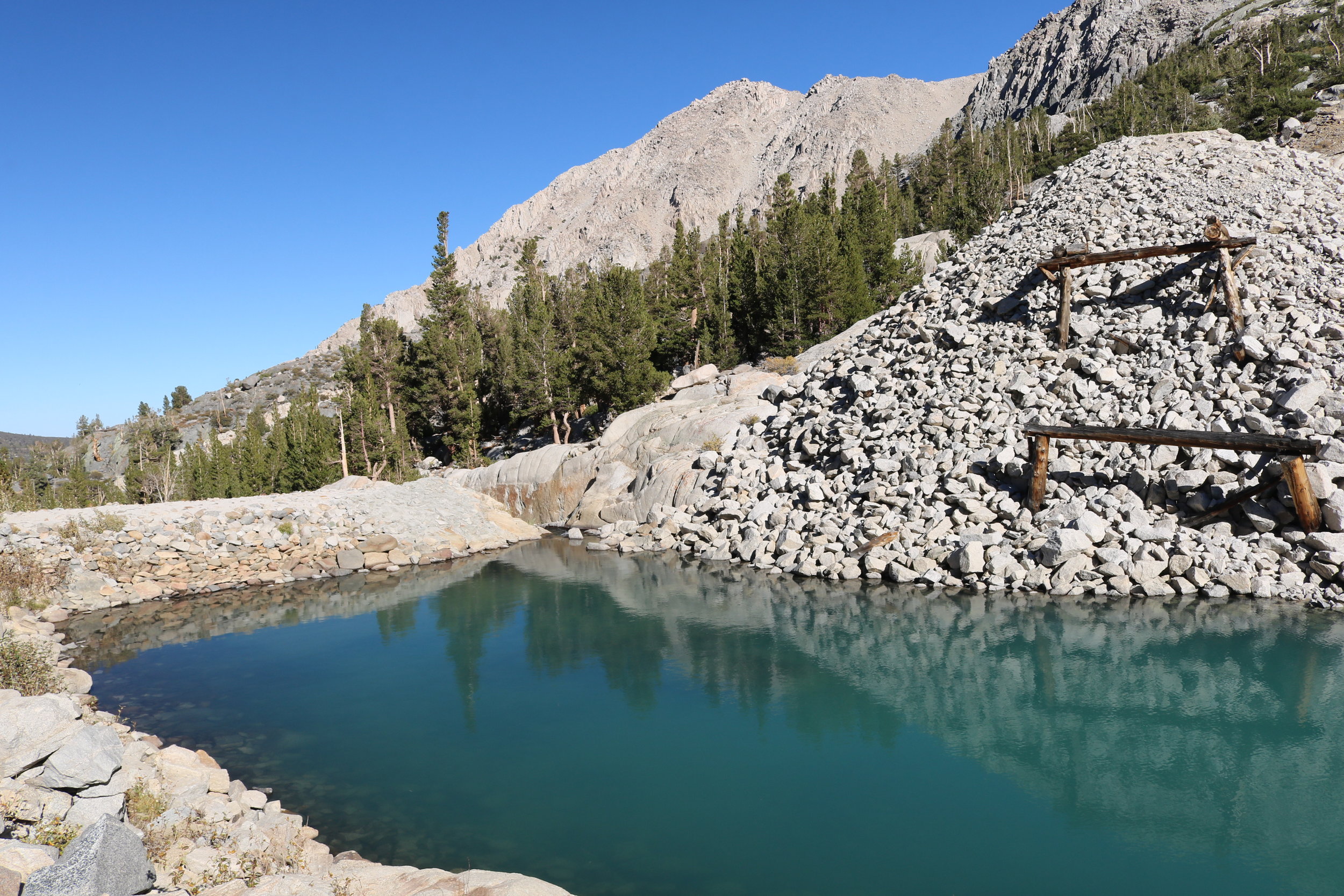
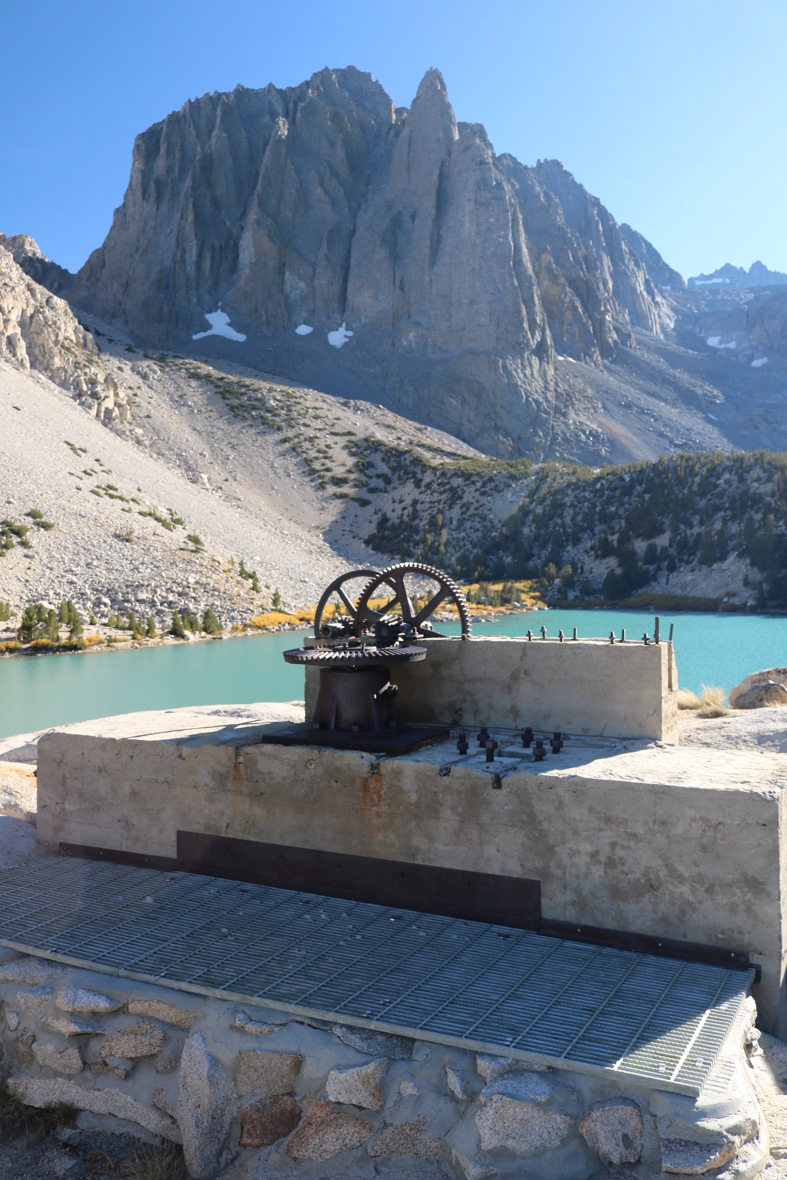
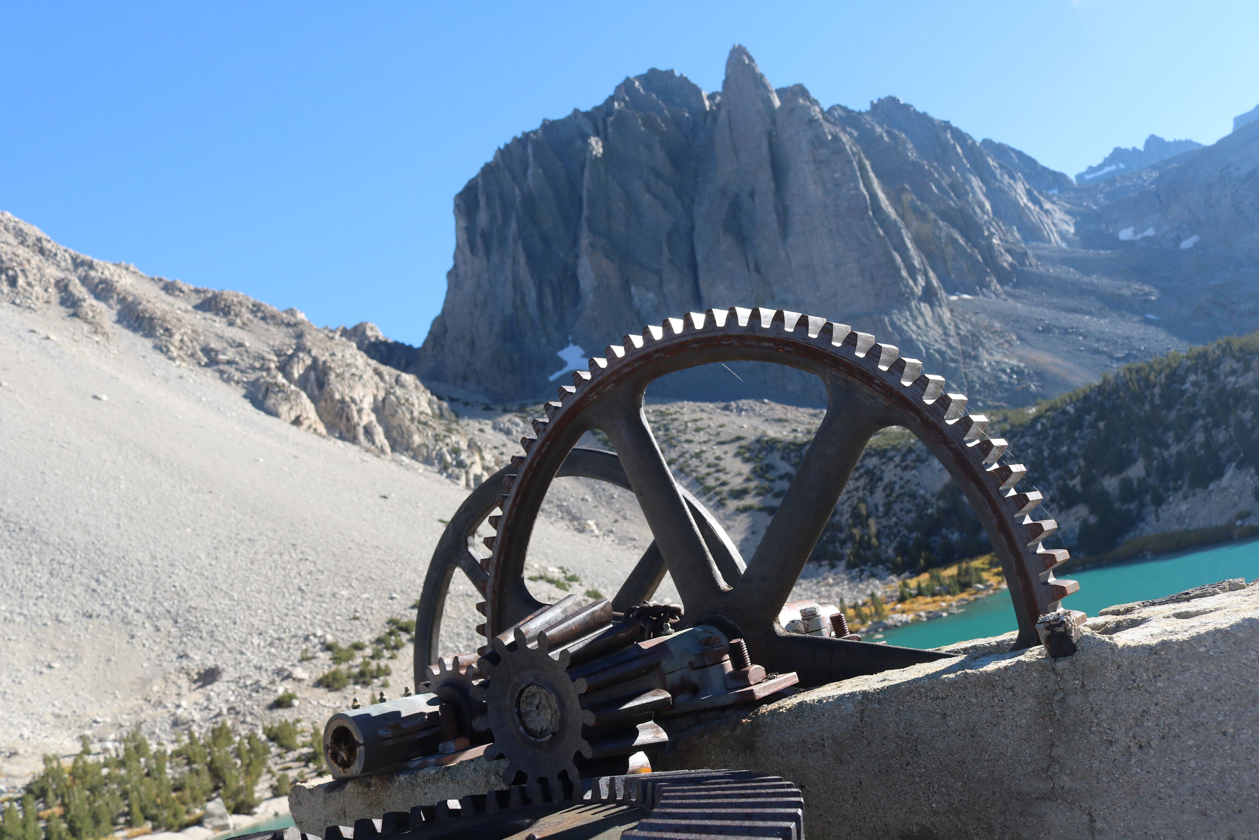
Backpackers, or day-hikers who have sufficient time can travel along a spur trail located five miles from the trailhead (in between First and Second Lake), and can explore around both the West side of First Lake, and the East side of Second Lake, where old unexplained mining equipment and the remnants of a dam remain. There are also a number of great campsites for overnight use in this area. While an argument can be made for both lakes being stunning, Second Lake is the most popular lake to camp at for backpackers, as there are a number of excellent sites, and perfect views of the Temple Crag. From Second Lake, the trail ascends gradually over the course of a mile to Third Lake (10,249 feet elevation, 6.5 miles from the trailhead), which the shallowest of the three lakes. For backpackers, Third Lake also has excellent campsites that receive substantially less use than the sites located at Second Lake. Depending on the time of year; and the amount of precipitation in the mountains, the western border of Third Lake may look more like a muddy beach than a lake. From Third Lake, experienced hikers, or multi-day backpackers can continue on either toward Sam Mack Meadow, the Palisade Glacier, or Lakes Four through Seven for a longer hike or trip. But, for most people, thirteen miles roundtrip is a good distance for a day, and an even better distance considering that one will have seen some of the most beautiful lakes in the Sierra Nevada mountain range.
Second Lake
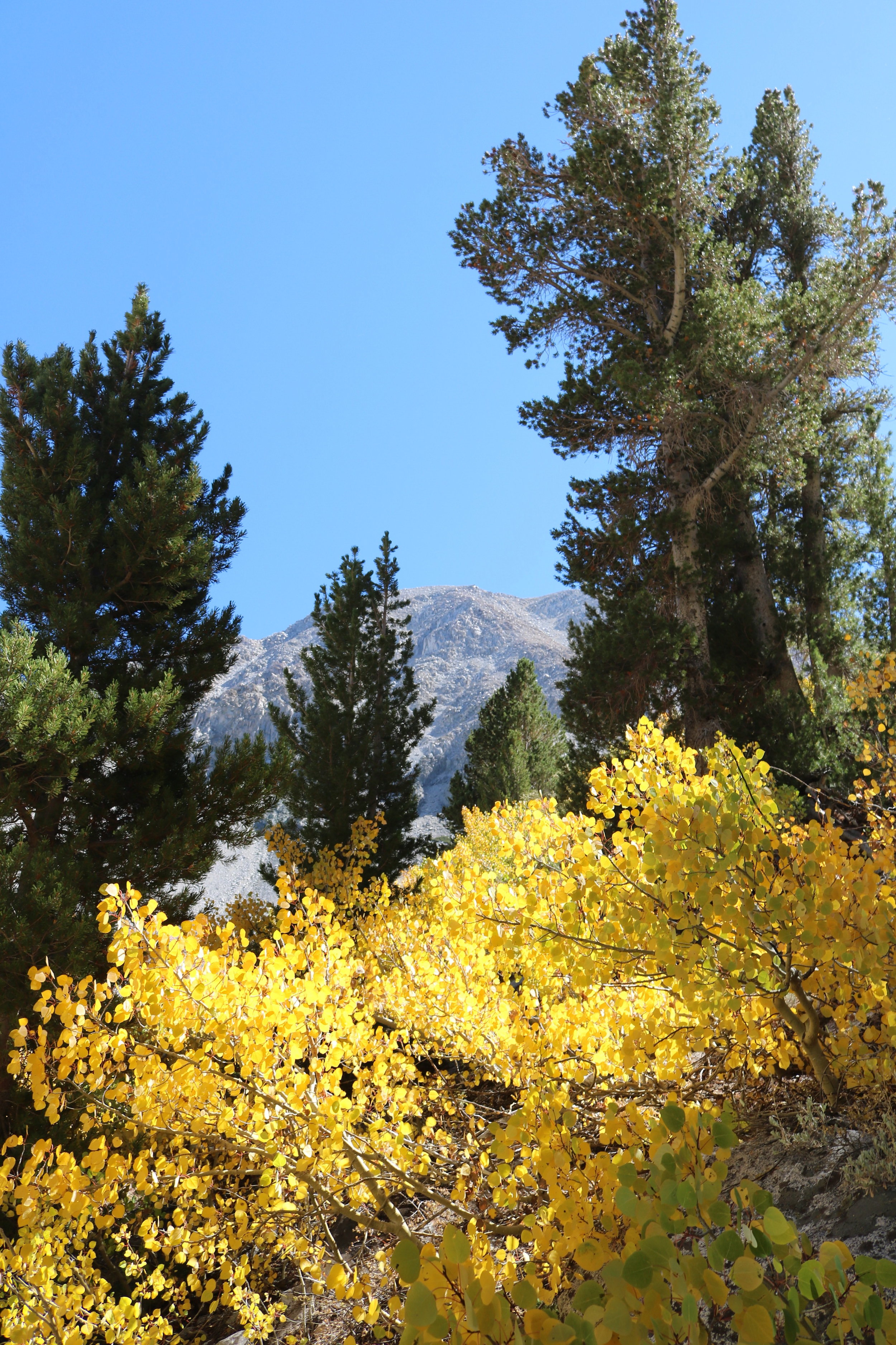
Tips: As this area is at a high elevation (above 7,000 feet), potential visitors should plan ahead regarding when they plan to visit, as the road to the trailhead is closed during the winter months. Further, while any time is an excellent time to visit the region and hike this trail, this trail has stunning fall colors from late September through mid-October on a yearly basis, which provide an added bonus to an already stellar hike.
Third Lake
