

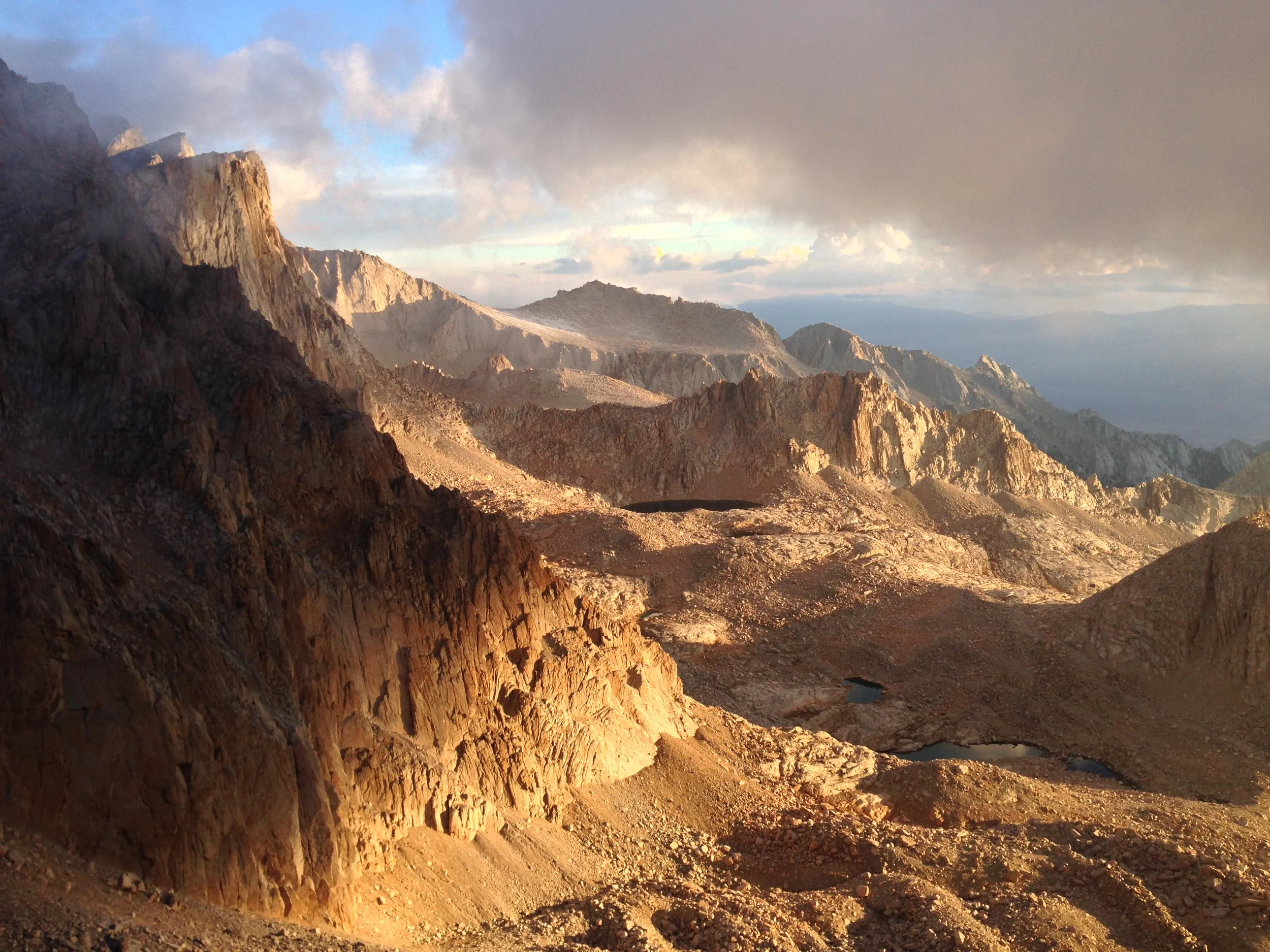
Mount Whitney is one of the most iconic spots, and one of the most sought after peaks in the mountaineering community. At 14,508 feet (and growing), it is the tallest peak in the continental forty-eight states.
As you’ve seen above, #preservethegood could mean anything – it could mean helping someone in a time of need; it could be picking up trash on a trail, or a wilderness area; it could be educating people on leave no trace principles; it could be making a difference in any way you want; and it could be just about anything you want as long as you are focused in keeping the magic and the unique positive things in this world and this life. In terms of tangible things, I encourage you, my readers and followers to use the hashtag when you post a photo of something amazing; or when you’re talking about something exceptional you – or someone else has done to improve the world. I look forward to seeing how all of you end up preserving the good in 2015, and you can rest assured that as always, I will keep preserving the good where I find it as well, because as Plato says, “Good actions give strength to ourselves and inspire good actions in others.”
As I mentioned previously, Waimea Canyon is a site that is most definitely one of the “must-view” locations on Kauai, and in the world; and as I also mentioned, the best way to experience it is to hike it. While there are many great hikes through the canyon, the best hike in my book is the Canyon Trail to Waipoo Falls. It is the best hike to me because at four miles roundtrip, it is accessible, it has stunning views of the canyon from inside the canyon, and it ends at the top Waipoo Falls. It also allows the hiker the chance to swim in a waterfall, which is a once in a lifetime experience.
Vernal Fall, Spring 2012
After I wrote a couple articles about the Mist Trail last year (http://lastadventurer.com/last-adventurers-fieldnotes/2011/12/15/mist-trail-to-nevada-fall.html, http://lastadventurer.com/last-adventurers-fieldnotes/2011/12/14/the-mist-trail-to-vernal-falls-summer.html), I received a number of e-mails wondering when the best time was to hike the Mist Trail. In all honesty, I’d say now what I said then – anytime is the best time to hike the Mist Trail to either Vernal or Nevada Fall. However, for 2012, if you are looking to experience “the mist” and want to get wet, now would be the best time to hike the Mist Trail.
The reason right now is the best time to do this hike is simple: the snowpack is already melting. As I’ve said on many occasions this year, 2012 was a bad year for the Sierra snowpack as California has had a warm winter. At this point, from about two weeks ago until mid-summer, what snow was present at the higher elevations will be melting – and at times, melting rapidly. This means that this year, from mid-to late summer, the rivers and seasonal flows will be running at a low level, or not at all. When rivers and other seasonal flows are at a low level, what waterfalls that exist flow at a low level, or not at all.
Mist Trail, Spring 2012
So, if you want to get wet, now, is the time to go for 2012, before all of the snowpack melts. When I was recently in Yosemite, I hiked the Mist Trail up to a tenth of a mile under Nevada Falls. I would have gone all the way up to Nevada Falls and come back down the John Muir Trail, but earlier in the day I had been hiking in another area of the park, and at that point, was perfectly content to take it a little easy.
From what I saw on my hike, the trail is in good to excellent condition, with few dead trees and branches on the trail to Nevada Fall. No snow remains on any section of the trail to Nevada Fall, and from my observations of that area as well as other areas of the park, the snowline is running at ~8500 feet or higher, depending on the sun exposure of the area. As conditions are warm, and only going to get warmer, it’s a great time to get out and do this hike!
Directions: As noted in previous articles, you’re going to either want to take the Yosemite Park Bus to Happy Isles, where the trailhead for the Mist Trail is, or you’re going to want to bike or walk there. Further directions on distances and everything else can be found here: http://lastadventurer.com/last-adventurers-fieldnotes/2011/12/15/mist-trail-to-nevada-fall.html, http://lastadventurer.com/last-adventurers-fieldnotes/2011/12/14/the-mist-trail-to-vernal-falls-summer.html .
More Tips: Another good reason to hike this trail this time of year is the opportunity to see wildlife – on my recent hike, I saw a number of animals that will likely not be present during the busy summer season. As for traffic on the trail: it was busy, but it will only be getting busier as the season progresses, so get out there to avoid the rush while you can!
Nevada Fall, Spring 2012
Nevada Fall
One and one half miles of uphill ascent not enough of a workout for you? Looking to see more than one waterfall flowing from the power of the Merced River? Well, you’re in luck. There’s another waterfall directly above Vernal Falls, and it’s just as beautiful – if not more so than the first. How do you get there? Glad you asked.
Directions: Follow the Directions here: (http://lastadventurer.com/last-adventurers-fieldnotes/2011/12/12/the-mist-trail-to-vernal-falls-winter.html) to the first bridge crossing before Vernal Fall. After this point, you have two choices on how exactly, you want to get to Nevada Fall.
The first way is up the Mist Trail, as described in the above link and the previous series of postings. Once you reach the top of Vernal Falls, the trail follows the Merced River back into the trees (roughly East) for half a mile (.50). At this point, the Emerald Pool will be directly to your North (left, if you are coming up from Vernal Falls). The Emerald Pool is a slow area of the Merced River flowing down to Vernal Falls (sometimes not, depending on how fast the current is moving and how high the River is – just the conditions accordingly should you decide to enter).
To your right (South) there will be trail junction that will take you up to the John Muir Trail (JMT) in .40 miles past Clark Point. Continue straight across the Merced, and you will find yourself heading uphill through a series of forested switchbacks at the base of Nevada Fall. After approximately .50 miles, you will be on a series of graded switchbacks on the North side of Nevada Fall and directly under Liberty Cap. For my money, this is a great view of Nevada Fall, and is equally – if not more stunning than the Mist Trail. At the top of the switchbacks, you can either proceed left (North) into Little Yosemite Valley, or to the Right (South) toward the area around the fall (approximately .10 miles). This last portion of the ascent is steep, and I guarantee you will be working up a sweat if you are carrying a multi-day bag. From the Emerald Pools, it is 1.05 miles to the top, and 1.15 miles to the actual fall, leaving you with 1.65 miles of distance one way from Vernal Falls to the top of Nevada Fall.
Nevada Fall
The area around the fall is solid granite, only interrupted by the Merced River, which has eroded a deep furrow in the rock over thousands of years. To cross the Merced, you have to utilize the NPS bridge, but you can walk down the granite slopes to overlook the fall cascading down into the valley you just ascended. Once you are done, you can return the way you came, or you can return back down the JMT as described in the following paragraph in a loop. From the top of the switchbacks, it is .40 miles to the JMT/Pohono Trail Junction, which will lead you back down toward the Valley.
The second way you can reach Nevada Fall is to turn off on the JMT after crossing the first bridge. The junction is approximately .10 miles to the right (South) as you are approaching the Mist Trail. The JMT runs from Yosemite to Mt. Whitney, and it takes backpackers approximately one month or longer to travel the distance as it heads South through the Sierra Nevada Mountain range. The first section of this challenging trail winds up a moderately graded series of forested switchbacks for .32 miles. If you are backpacking out of Yosemite Valley, you may want to consider this route as it is usually cooler and shadier than the busy Mist Trail. Once you have traversed the switchbacks, you will be up above the treeline, and on the edge of a stunning cliff that looks down upon the Merced, and waterfalls below. (In late spring or early winter, this section should be traversed with caution, as ice can build up along the area, and it would not be a good place to slip!) From this point, it is a gradual uphill climb for a mile (1.0) to the JMT/Pohono junction, and Nevada Fall described above.
Both routes have great views; and it is hard to go wrong by heading either way. Personally, I’d recommend doing the whole route – Mist Trail to Vernal Fall, past the Emerald Pool, up to Nevada Fall, and returning to the valley by the JMT as a loop, but it will take you some time, as you will be gaining 2,900 feet of elevation from the valley floor to the top of Nevada Falls. Also, bear in mind that you will be hiking seven miles roundtrip should you head all the way up to Nevada Falls, plus any additional distance that you may tack on should you not ride the Yosemite Valley bus.
Top of Nevada Falls, Merced River flowing into Yosemite Valley
Despite the distance, this is a great loop hike from the Valley, and a great way to see a lot of the scenery of the area. Once you pass Vernal Falls, the crowds dissipate somewhat in the summer, although both locations remain very popular.
See you on the trail!
More Information Here:
http://www.nps.gov/yose/planyourvisit/valleyhikes.htm, http://www.yosemitehikes.com/yosemite-valley/mist-trail/mist-trail.htm, http://en.wikipedia.org/wiki/Nevada_Fall