
Joshua Tree National Park is renown for its signature tree, and for its rock climbing routes. Interspersed through the park, however, are some excellent hiking trails. Although a lot of “hiking” occurs within the confines of the campgrounds, and to and from climbing routes, the most popular trail is the park’s second highest mountain, Ryan Mountain. At a glance, the 5,456 foot tall mountain does not appear to be a challenging hike; especially as it is only one and a half miles to the summit, but with over one thousand feet of elevation gain, along with a number of other desert factors, this trail, and hike is not to be underestimated. But, for those hikers willing to brave the conditions, and at times, the crowds, the payoff for this hike is a desert summit with great three hundred and sixty degree views.
Ryan Mountain is the second tallest peak within Joshua Tree, but the most popular for hikers to climb.
Directions: The trailhead to Ryan Mountain is a short distance from the park’s western entrance station (fifteen miles to the east), and one of its most popular campgrounds, Jumbo Rocks (five miles to the west). The trailhead has its own parking area, and bathroom, although due to the popularity of the hike, the parking area regularly fills, even on weekdays. From the parking area, the trailhead is located on the south side, and starts out with a gradual ascent that first passes by some popular climbing routes. However, within a tenth of a mile, the trail begins its non-stop ascent to the summit. As noted above, the trail does ascend a thousand and fifty feet of elevation within its one and a half mile route to the summit. Correspondingly, there are few, if any “flat areas” on this hike.
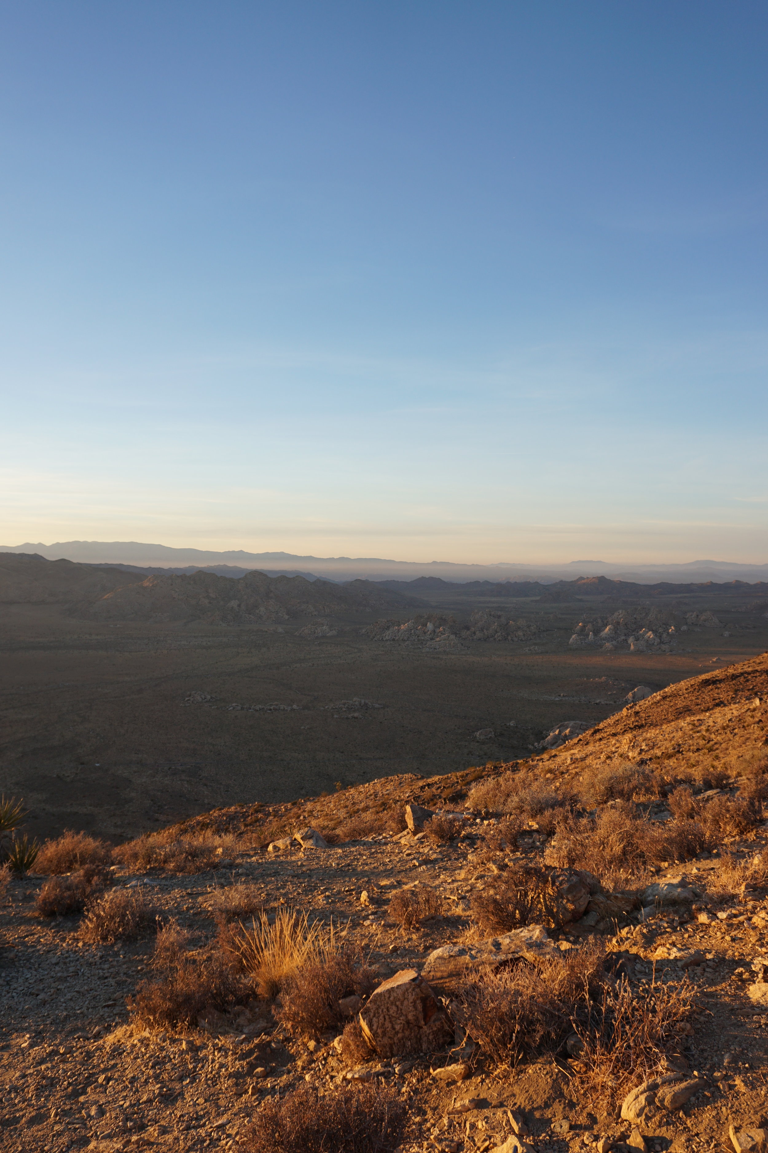

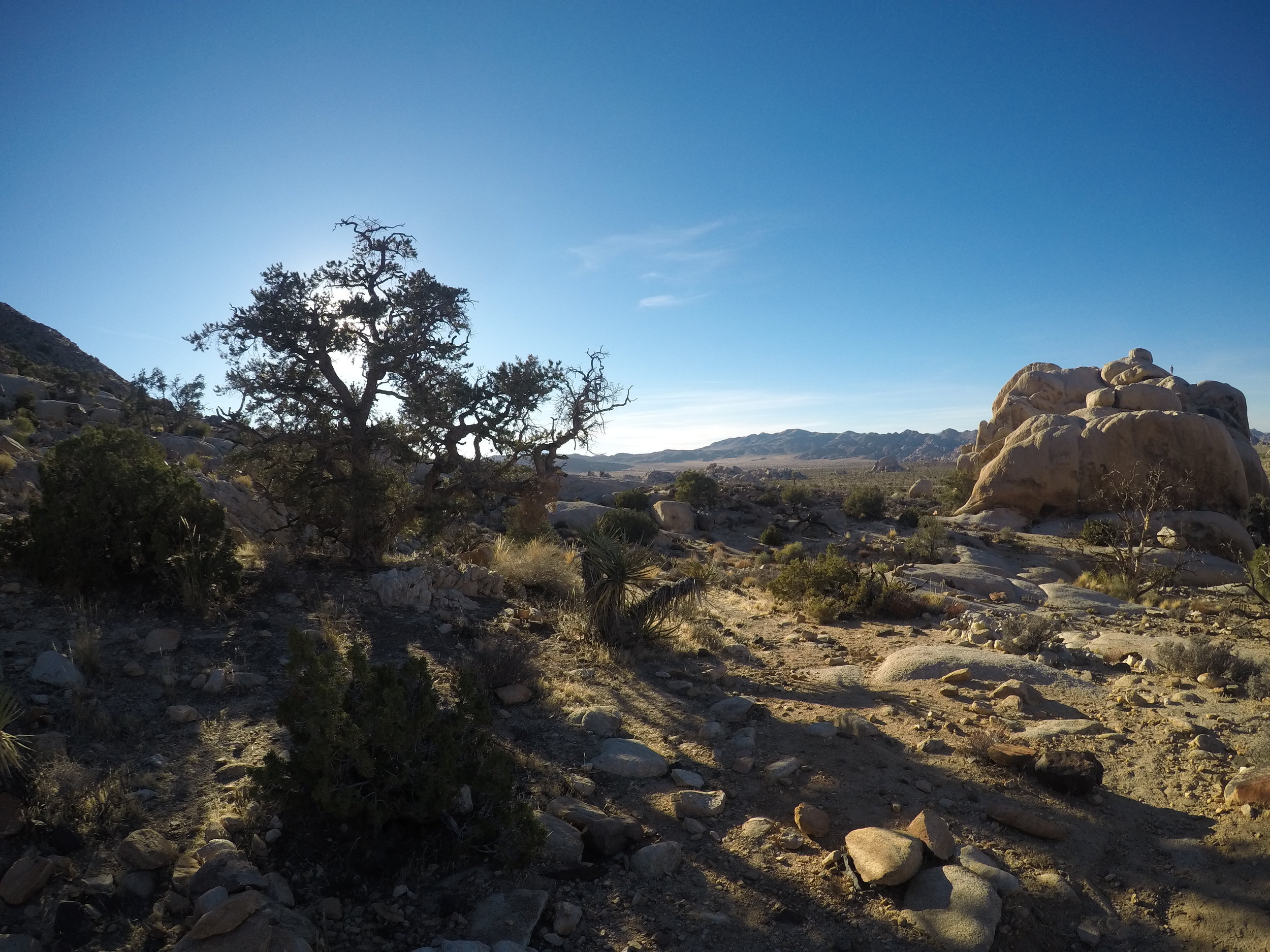


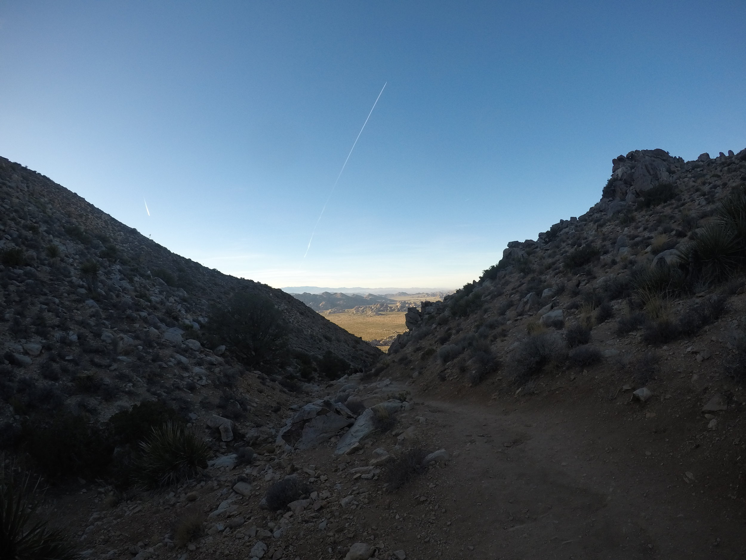
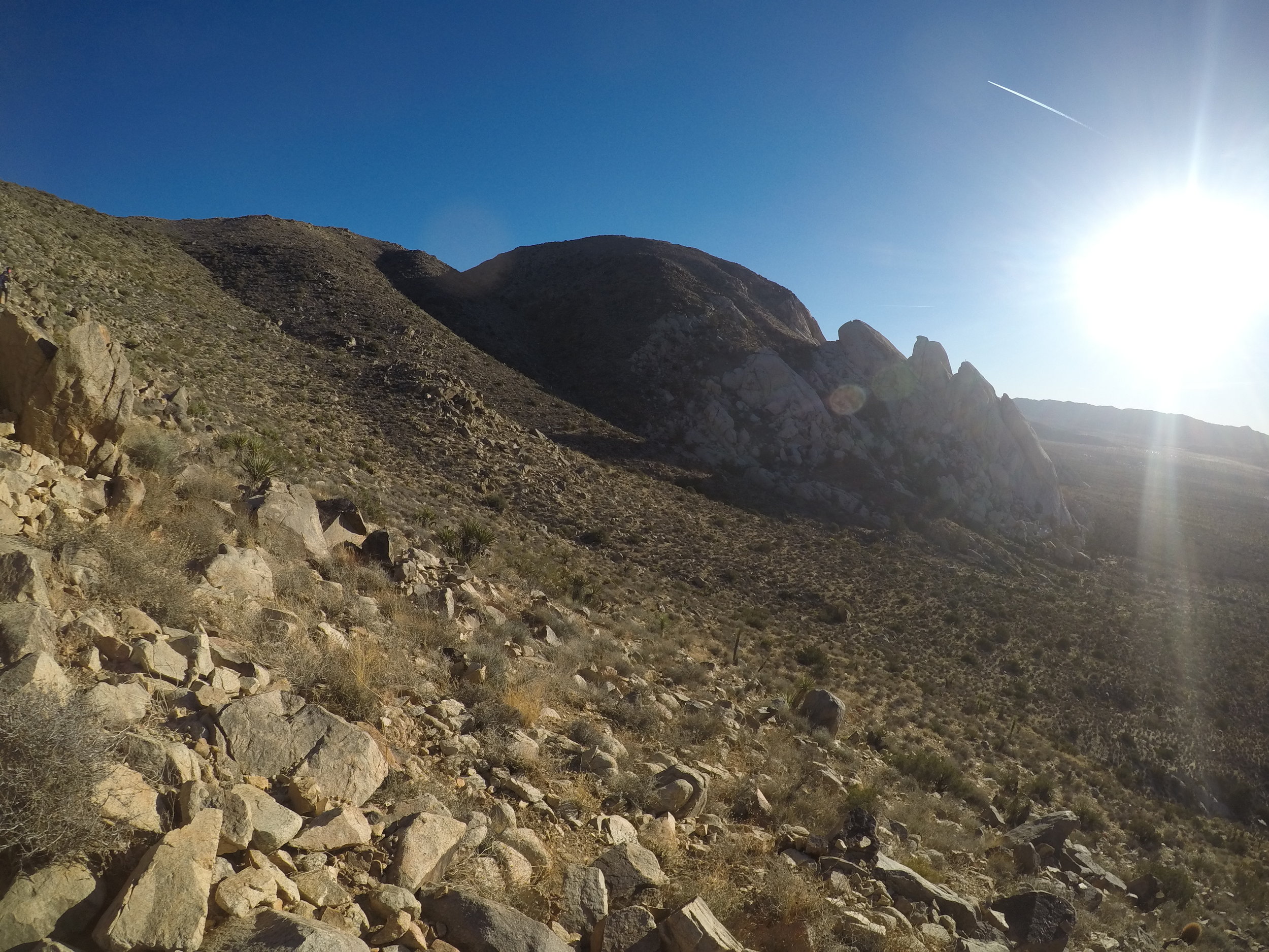

At a quarter mile, the trail loops to the west, and begins to ascend at a greater rate with some switchbacks, which provide the hiker with some great views of the desert floor below. The trail also provides some great views of the first saddle (though not the summit) of the peak. It is worth noting that the entirety of the hike is exposed as well - there is no shade anywhere at any time of year for this hike. This direct sun exposure can be, and is challenging for many hikers, particularly during the times of year that the temperature is in excess of seventy-five degrees. Hikers should be properly prepared for the sun exposure with appropriate clothing, and an appropriate amount of water (a minimum of two liters). From the first saddle, the trail then descends a slight amount to a turnout/viewpoint on the eastern side of the mountain. From this point, a secondary saddle, and the summit itself is visible. After ascending the final switchbacks, the last tenth of a mile to the summit is the easiest (and flattest) portion of the hike.
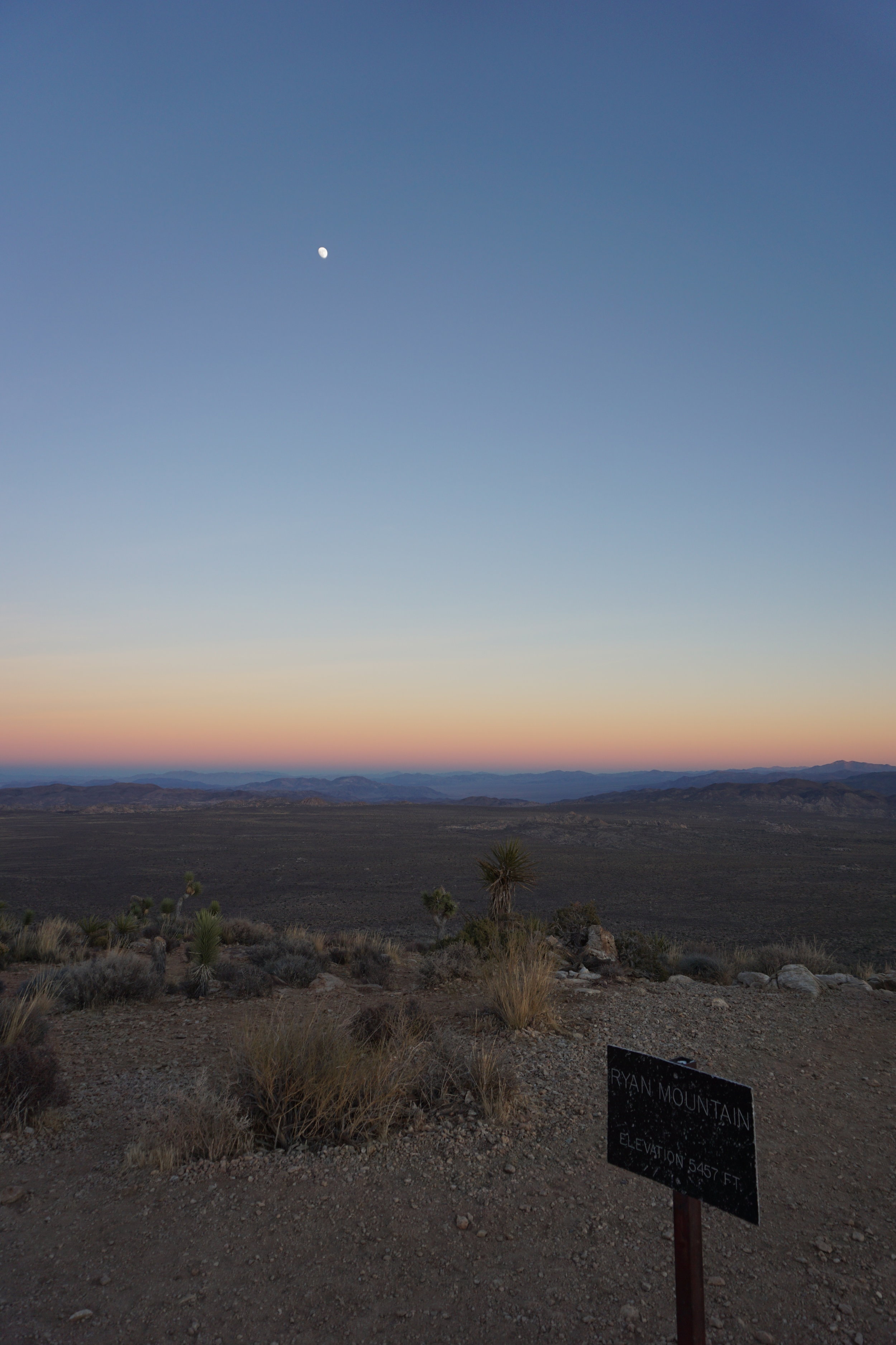
Ryan Mountain is a great spot within Joshua Tree to watch the sun set.
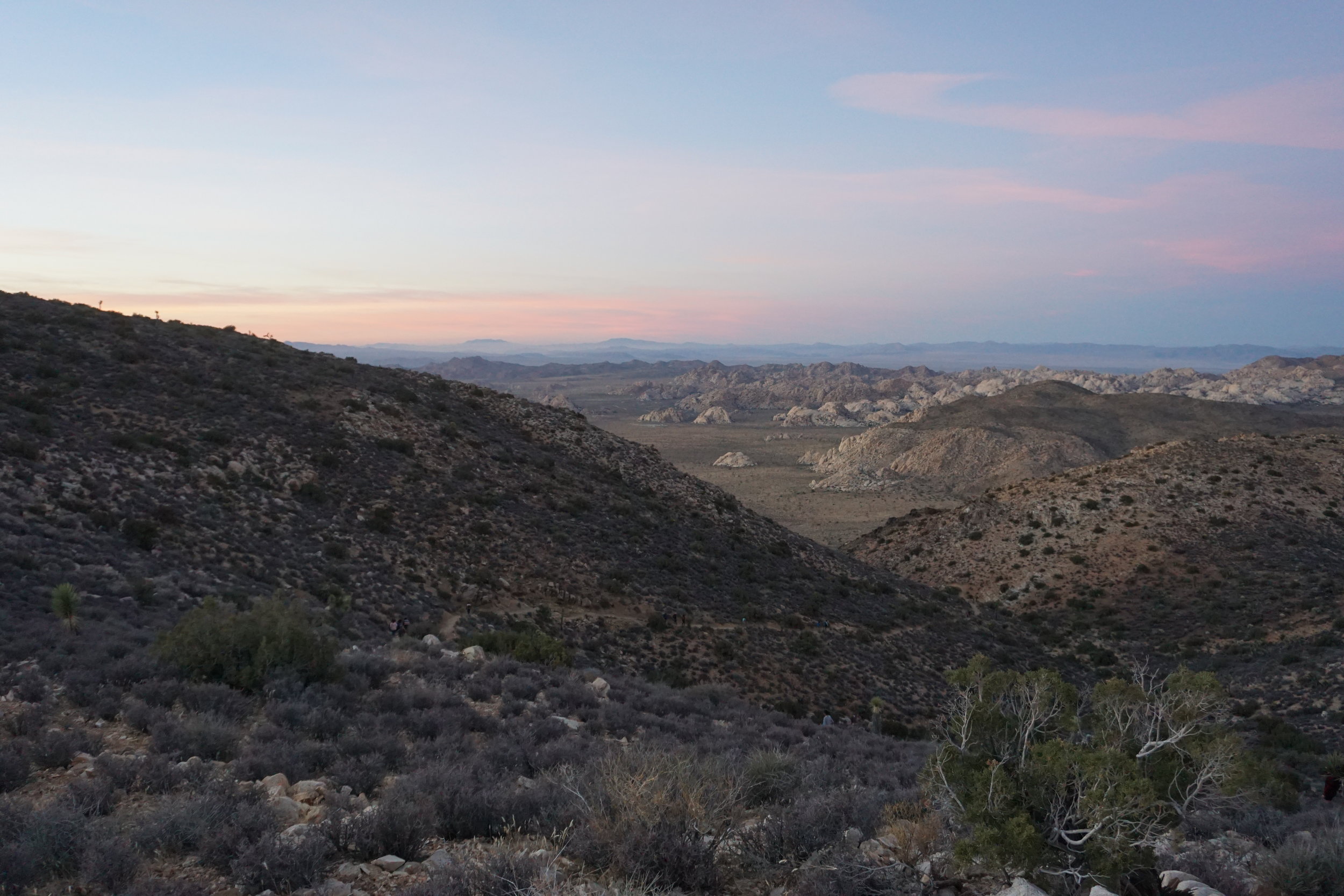
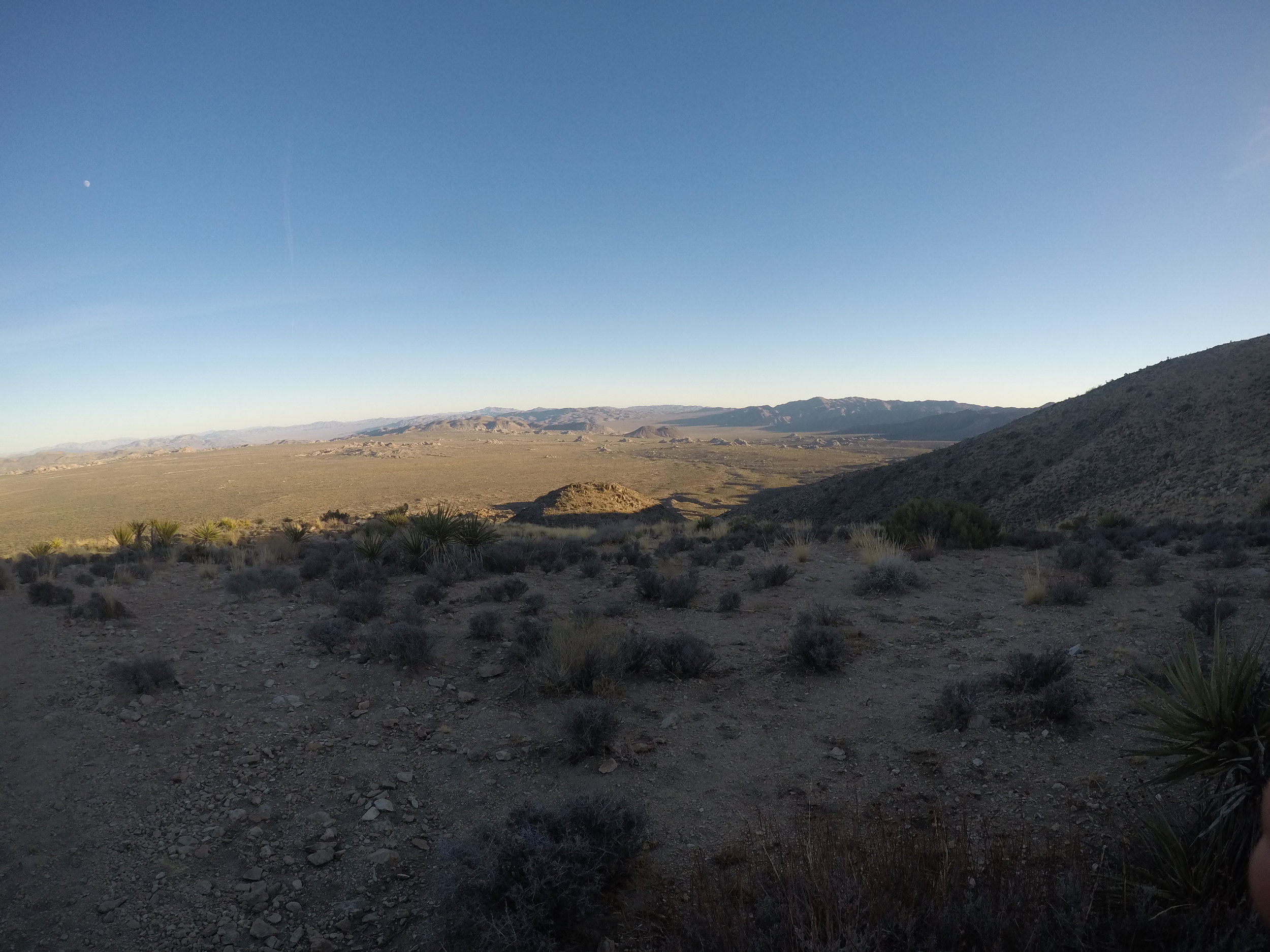
The summit itself has great three hundred and sixty views of the entirety of the park, and also has a giant rock cairn that has been built up by thousands of hikers. To the west, San Jacinto mountain can be easily spotted and identified easily by casual hikers. The mountain is also an excellent point in the park to watch a sunset, with the well-defined and maintained trail making for an easy descent, even in the dusk or dark. Alternatively, the peak also provides a great spot for stargazing at night. The return route is back along the now-easier trail, for a total roundtrip hike of three miles.
Tips: As should be obvious, Joshua Tree is located in a desert, and is hot at least nine months of the year. The conditions should be respected by all levels of hikers, who should be prepared with plenty of water. Hikers should also judge the temperature, and time of day accordingly when attempting the peak, and should not set out at high noon when temperatures exceed one hundred degrees. Hikers who are looking for a less-popular - or less strenuous option in the park with a great view should instead hike to Mastodon Peak which is located in the southern area of Joshua Tree National Park.