
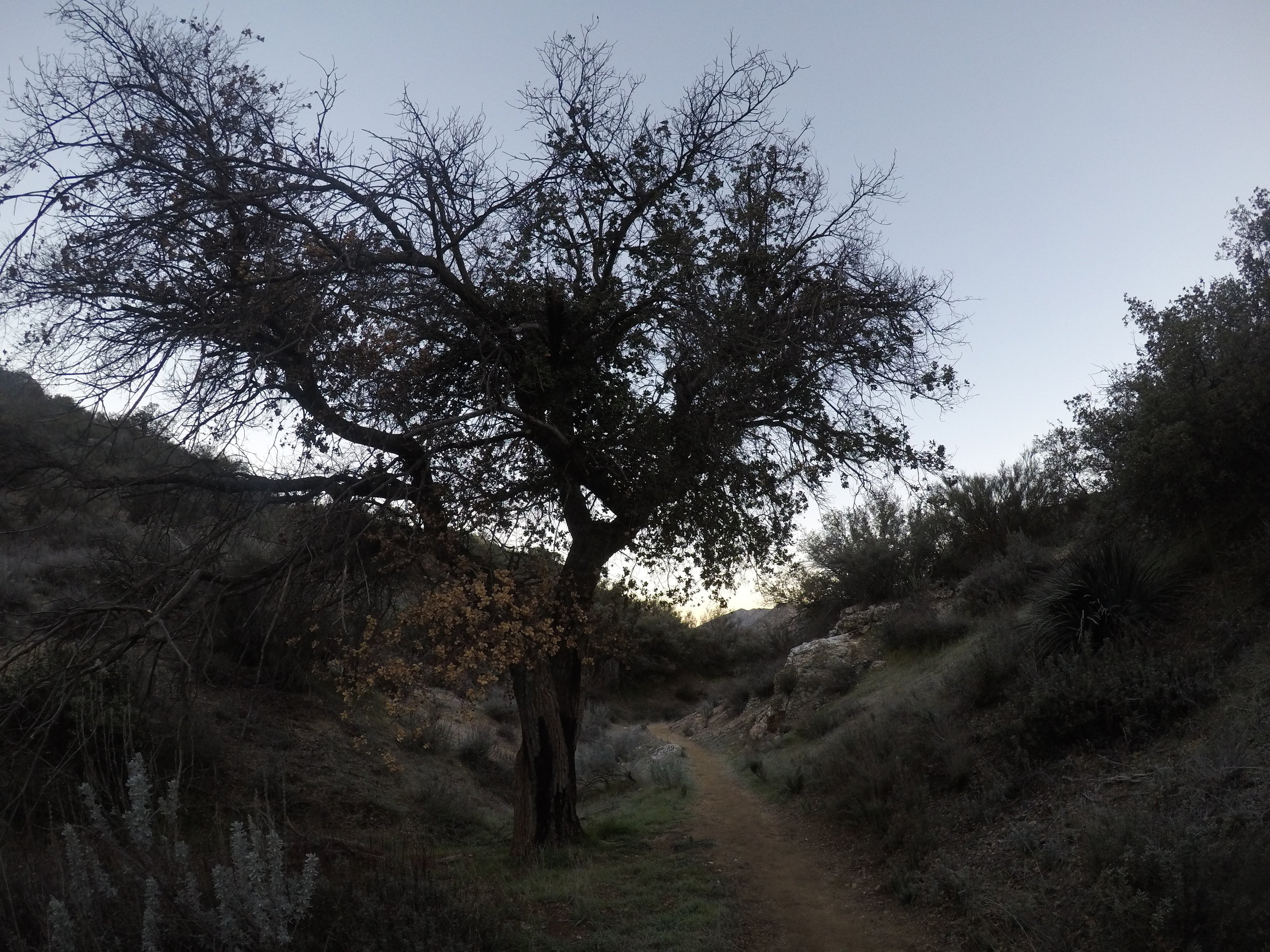
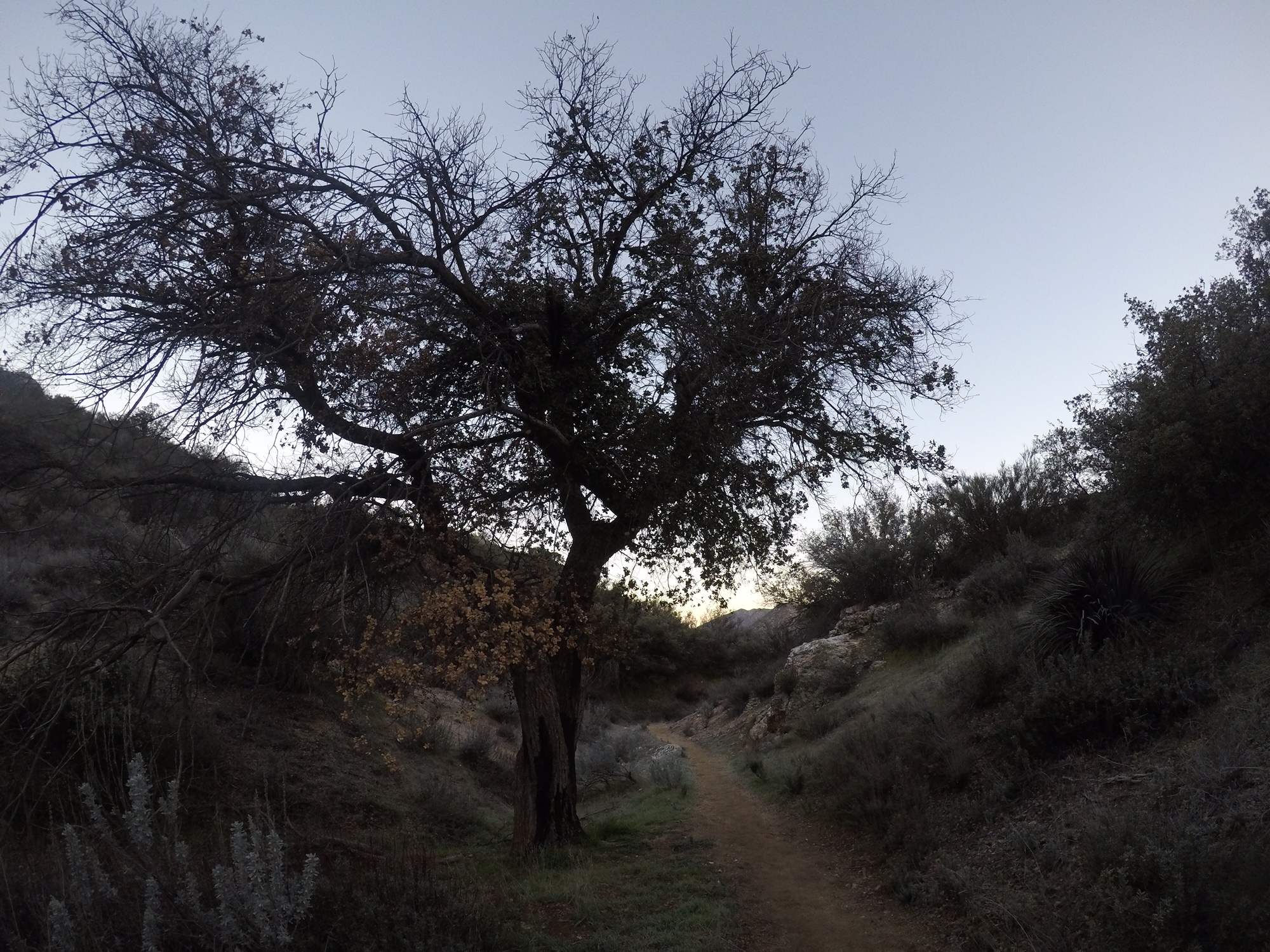
This distinctive oak marks the start of the hike to Kitchen Creek Falls, and is along the southern end of the PCT
Among outdoor enthusiasts, through hiking the Pacific Crest Trail (“PCT”) is one of the most coveted accomplishments. But at 2,650 total miles, completing the PCT is a daunting task that requires a substantial amount of time. As a result, instead of completing the PCT in one fell swoop, many hikers elect to “section hike” – hike sections of the trail – over an extended period of time. While perhaps not as glamorous as a through hike, section hiking allows hikers to complete the trail at their schedule, and allows one great latitude to appreciate the many hidden gems that are along the PCT. One of the first hidden gems along the PCT is Kitchen Creek Falls, a seasonal waterfall that is just off the first section of the PCT near Campo, California. Irrespective of whether one is starting out to complete all of the PCT, section hike the PCT, or head out for a day hike, Kitchen Creek Falls is a great destination year-round.
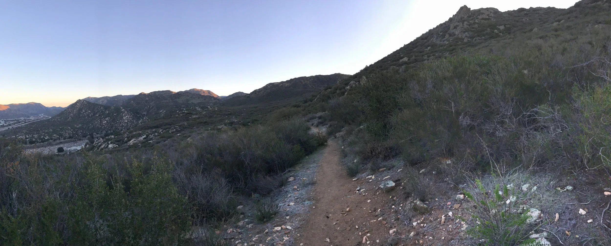
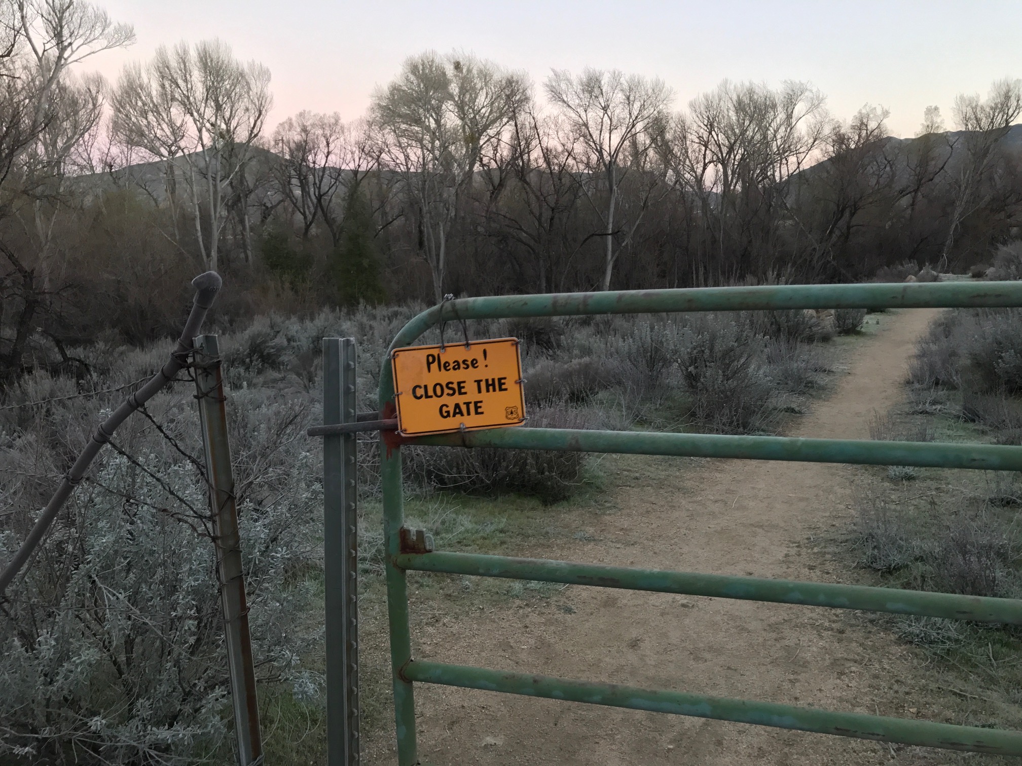
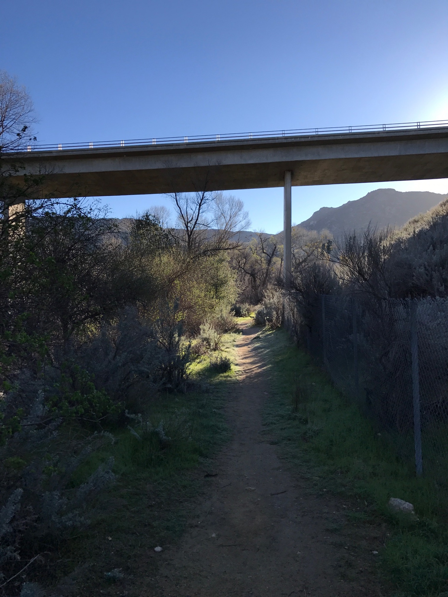
Directions: From Interstate 8, visitors will want to exit at Buckman Springs Road, and head south. The first intersection (four-way stop) after exiting the freeway is Old Highway 80, which visitors will want to turn left (East) onto. From Old Highway 80 it is a two mile drive to the trailhead, which also doubles as a local bus stop on the right side of the road. A Forest Service Adventure Pass is required to park in the lot. From the lot, hikers will want to cross Old Highway 80, and will see a distinctive large black oak tree with a PCT logo affixed to it. The PCT runs east-west parallel to the oak, and hikers will want to follow the trail east (to the left) for a short distance toward the I-8. Slightly before one reaches the I-8, there is a gate which hikers will have to pass through before heading underneath the twin freeway bridges. During the winter months, or a rainy year, there will be seasonal water flowing near the trail under the freeway.
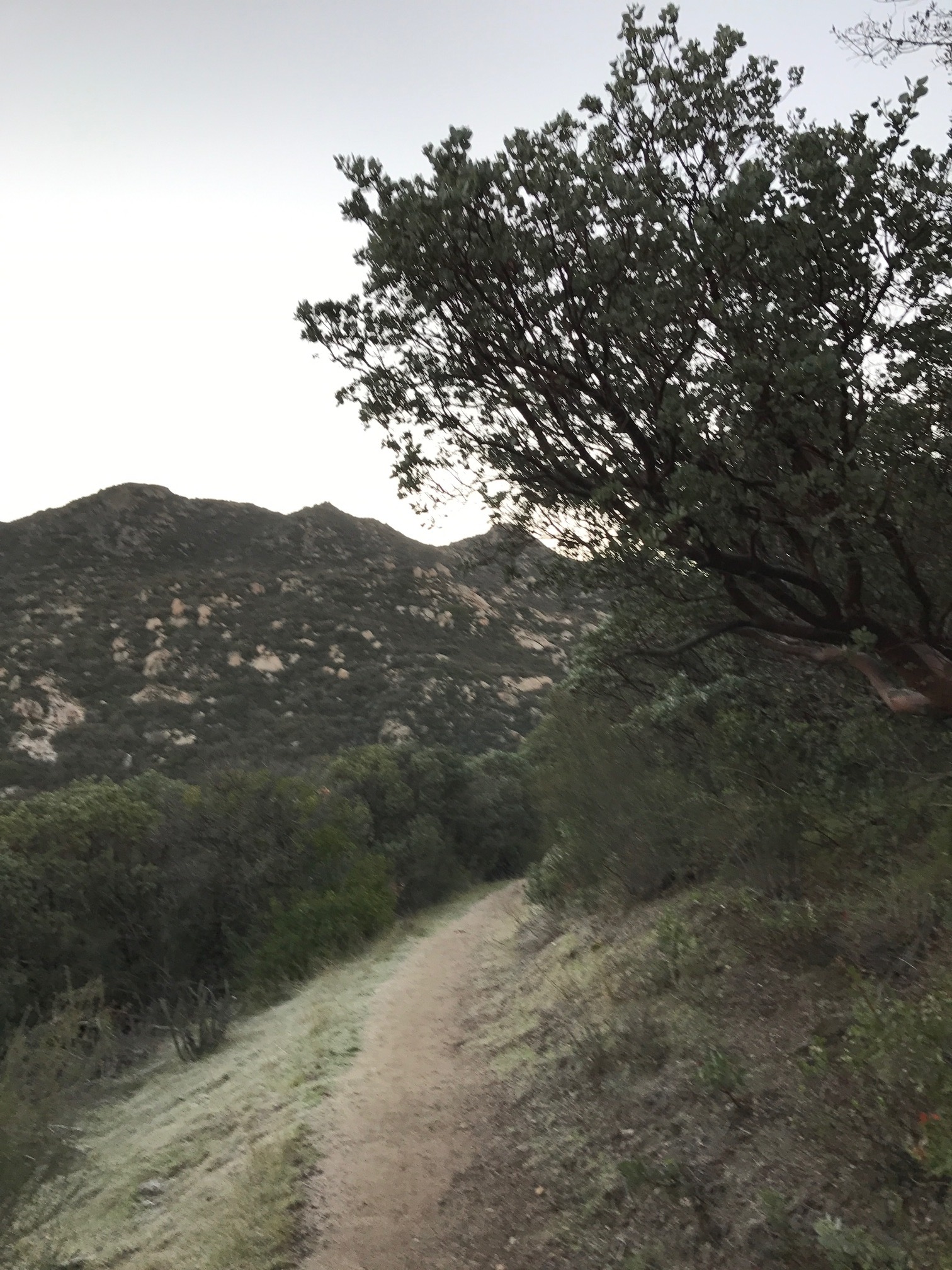
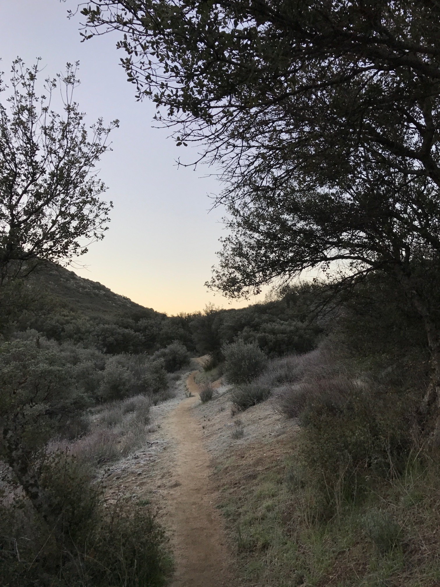
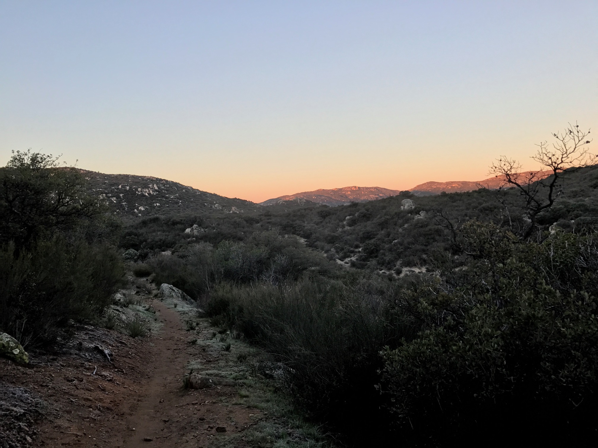
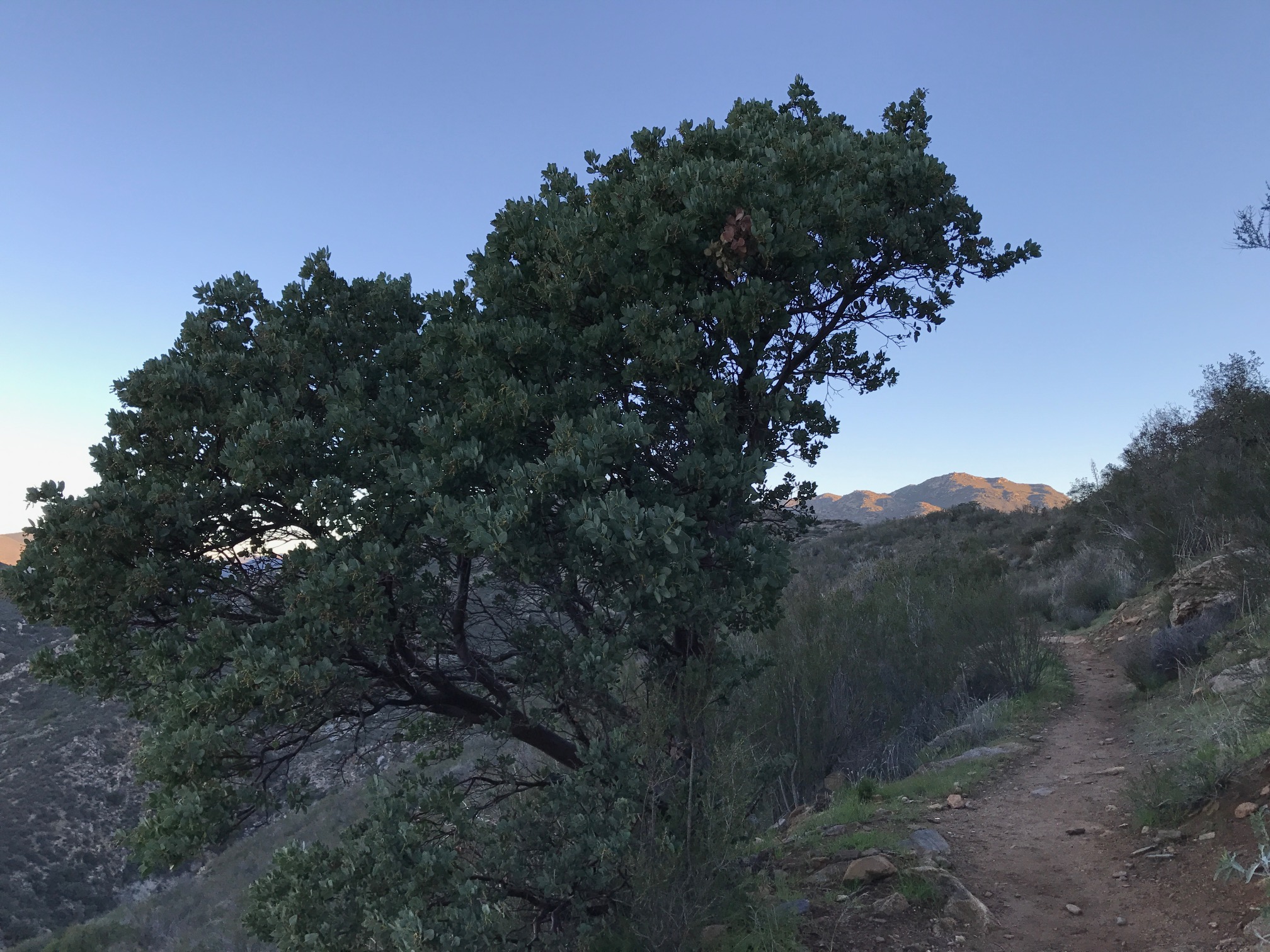
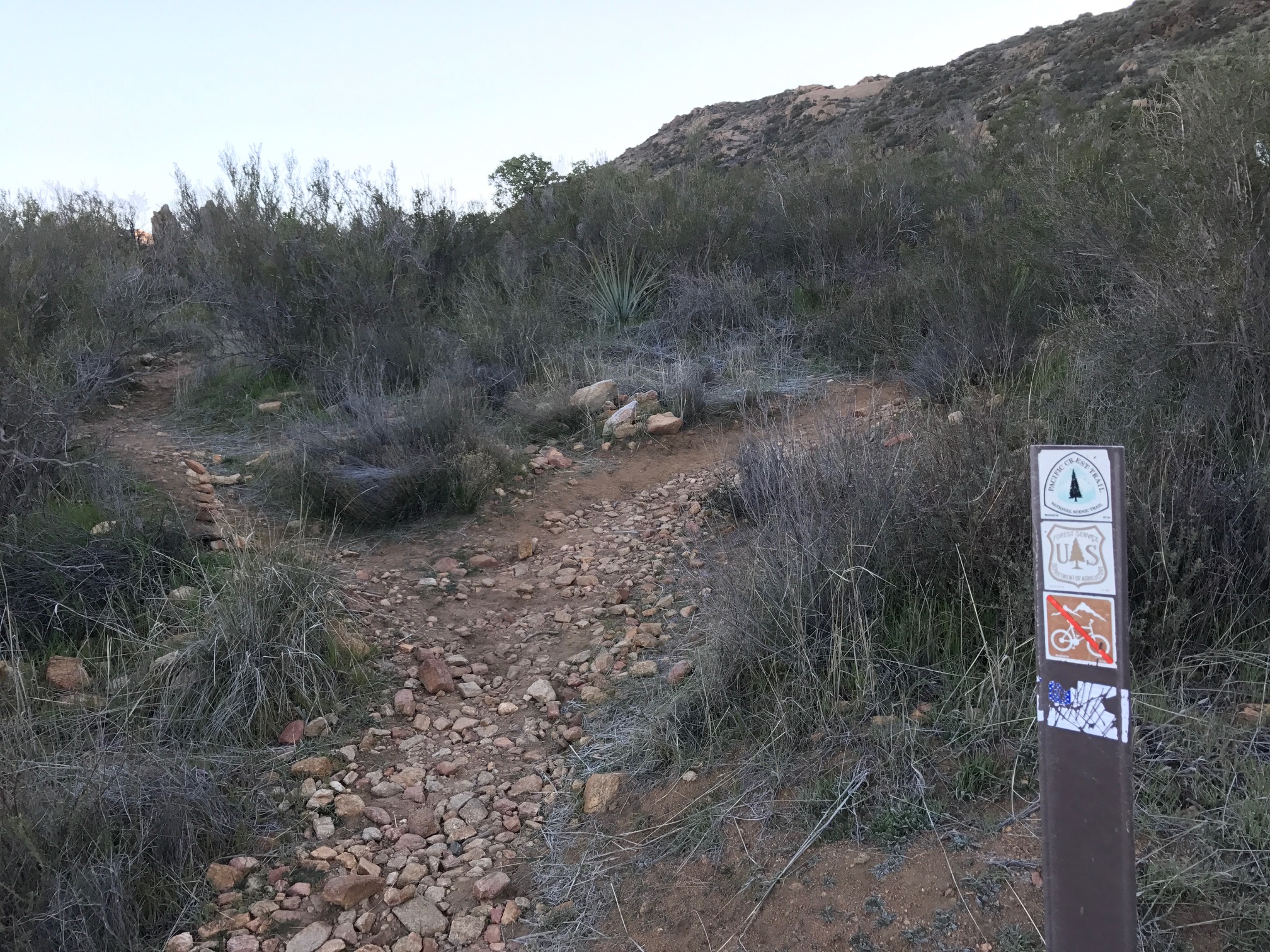
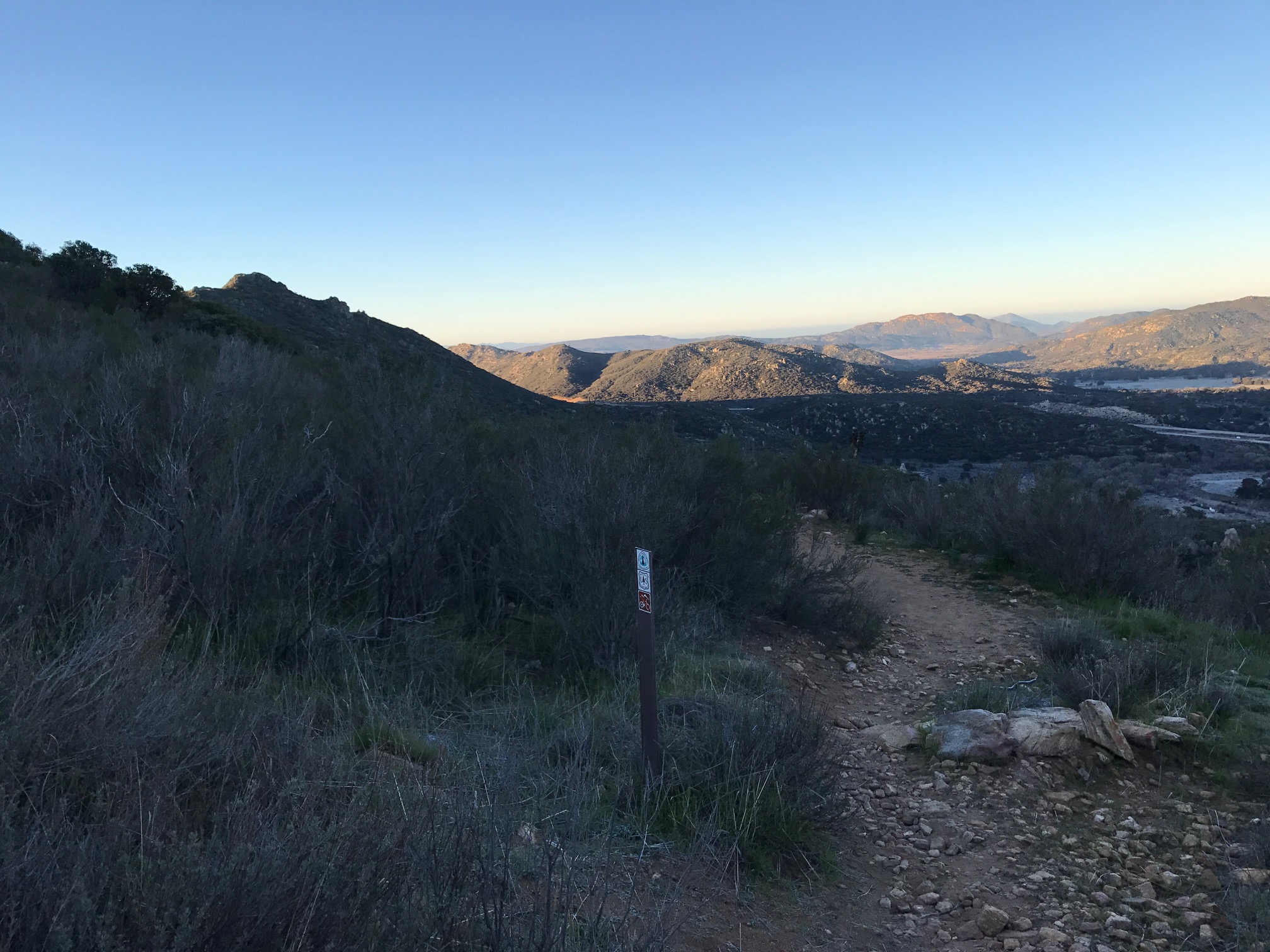
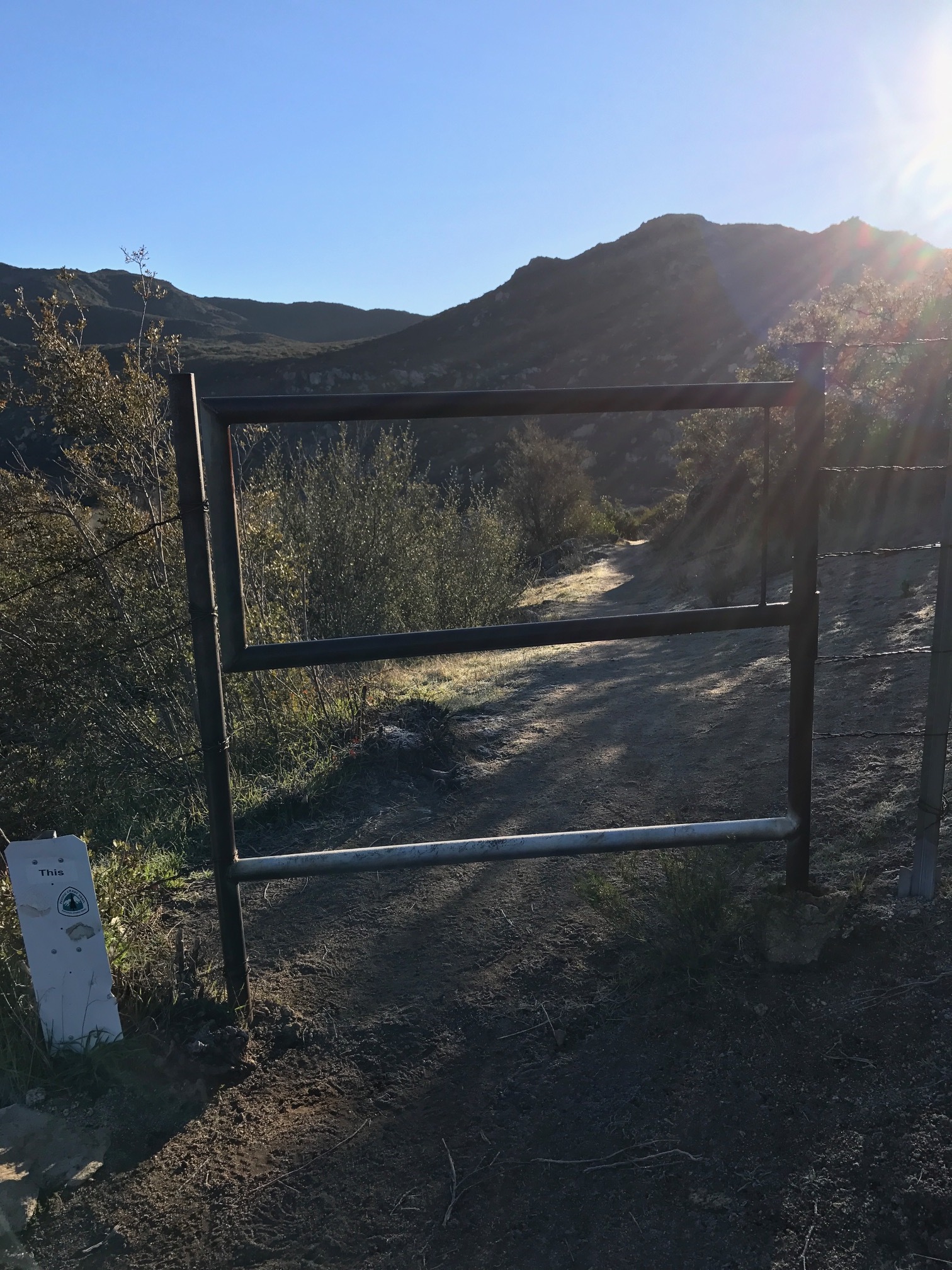
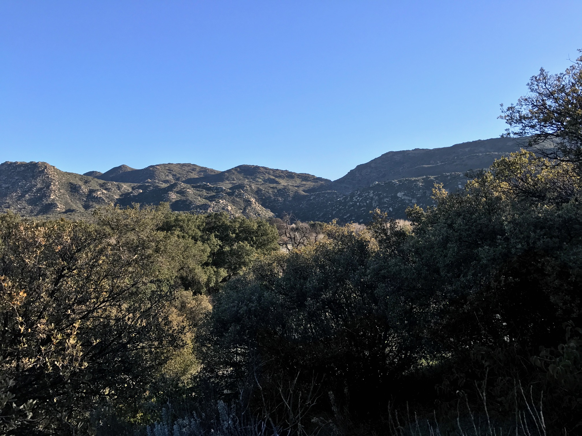
After passing under the freeway, the trail curves up and past a small grove of oaks, before ascending a mild series of switchbacks to a second metal gate. From the gate, the trail ascends gradually through manzanita, and provides ever better views of the Laguna Mountains to the west. At a mile from Old Highway 80, the trail gains most of its elevation through a series of short switchbacks, and a long, tapering route that provides views of the south and west. While the PCT is well-marked, and easy to follow, the route to Kitchen Creek Falls is one that has undergone many variations over the years, and has gradually transitioned from a bushwhacking route, to a foot trail, to a more heavily trodden use trail. Correspondingly, while the turnoff now is not that hard to find, it is not signed, and hikers should pay attention to the PCT at the 2.1 mile mark from Old Highway 80 in order that they may follow the correct route to the falls. At this point, the PCT makes a hard turn to the right (east), and there is a Forest Service guide post in the ground to the right.
Junction to Kitchen Creek Falls. The PCT curves to the right, the junction is on the left with a small cairn. Not pictured; another PCT post some ten feet further up the trail on the right.
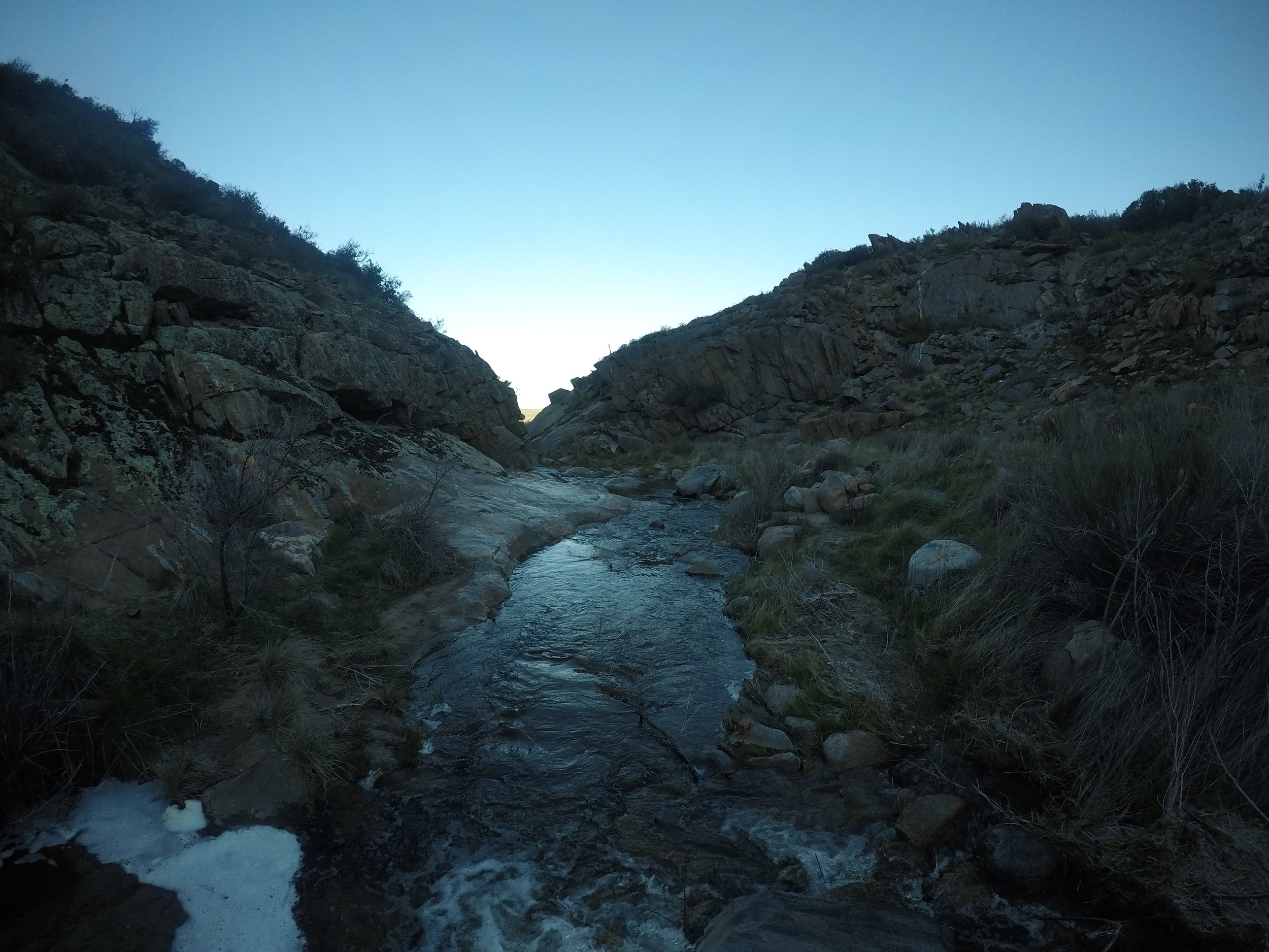
Immediately to the left is the use trail down to the falls, which is not part of the PCT. As of 2017, it is visually apparent, and has a stone cairn marking its route from the PCT, but is not signed. Hikers who miss the cairn will want to look for a second PCT trailpost again on the right within fifteen feet of the southern turn as a sign they have gone too far for the Kitchen Creek Falls turnoff. From the use trail turnoff, the route branches off on a number of foot trails. The largest, and most visible foot trail heads down to the falls over .1 miles, and while a little steep in one or two spots, is very accessible overall. Once at the bottom of the use trail, Kitchen Creek Falls should be readily visible as it flows through the area. Having said that, if nothing is visible, it is because the creek and the waterfall are both seasonal flows, meaning that if one is there during the summer months, or a drought year, nothing may be flowing, and there may be no waterfall at all. From the bottom, one can explore up or down the creek to their heart’s content, before returning back the way one came for a moderate 4.8 mile hike.
Tips: If you’re looking for a waterfall, the best time to visit this location is at the end of winter, or early spring, as it is a seasonal waterfall and river. Also, while the rocks around the water are mostly flat, and not technically challenging, they are quite slick, whether they are dry or wet, so caution should be exercised even though it appears quite safe.