Summit, El Cajon Mountain, September 2014
One of the little known facts about San Diego is that to locals it not only has its own “Half Dome” (Corte Madera Peak) but also its own “El Capitan” – El Cajon Mountain. While both of these peaks share a type of rock with the original mountains – exfoliated granite – and provide both hiking and climbing opportunities, the similarities end there. The more well-known fact about El Cajon Mountain, however, is that it is the “toughest” hike in San Diego County. It is also a mountain with a number of routes to the summit (including a technical route); and a mountain that until recently, required a number of challenging ways to ascend the peak due to land use restrictions. While the technical route will always be challenging, the mountain now lies within the boundaries of the El Capitan Open Space Preserve, and the standard route to the peak is now very accessible.
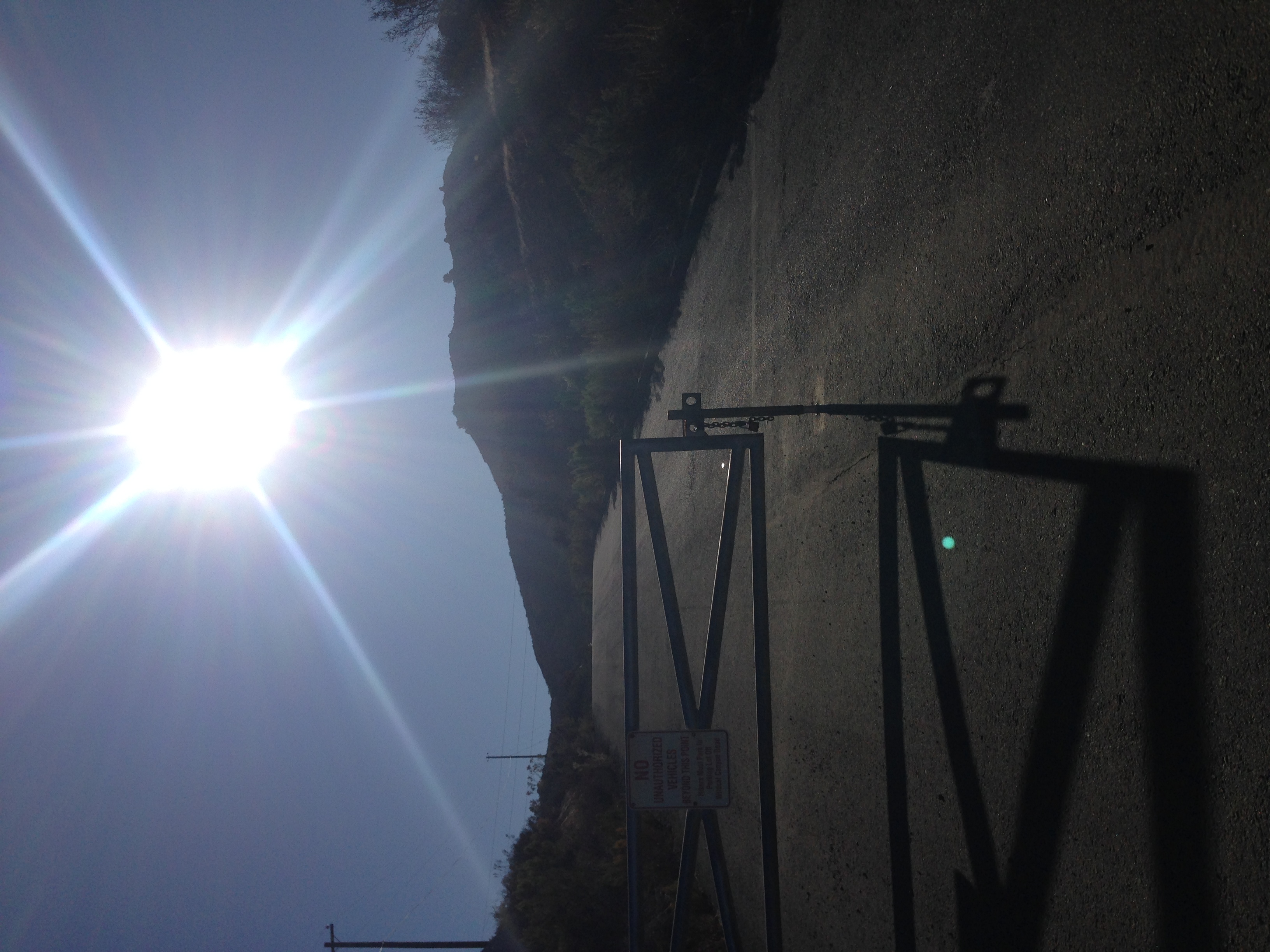
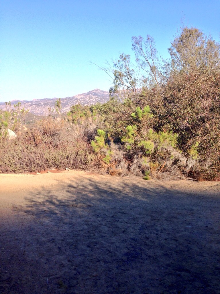
El Capitan Open Space Preserve Boundary, September 2014
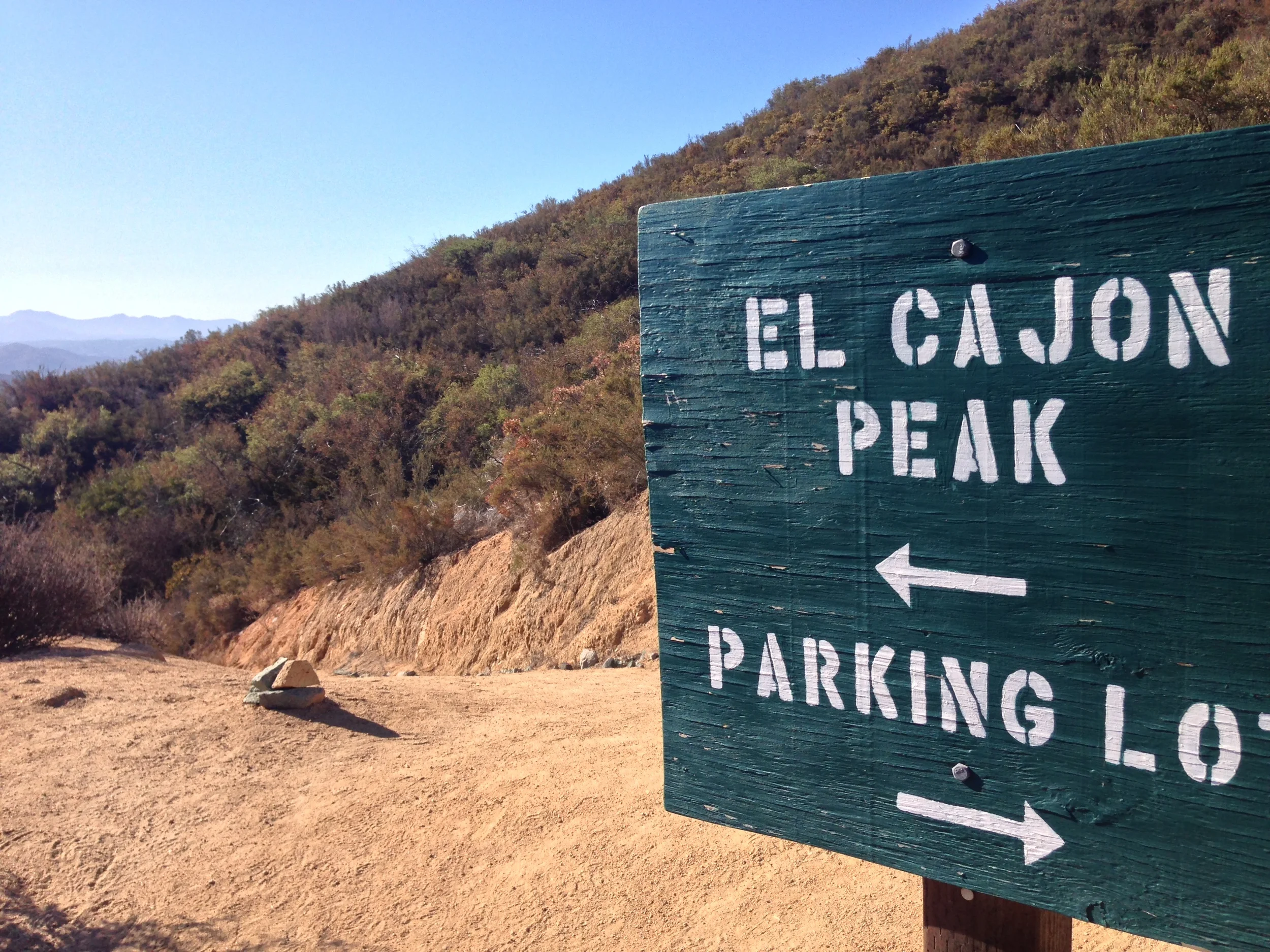
Directions: The trailhead to the peak is located in the El Capitan Open Space Preserve, which is located at 13775 Blue Sky Ranch Road, Lakeside, CA, 92040. The turnoff for Blue Sky Ranch Road is located directly to the South of Wildcat Canyon Road, and is clearly marked. It is important to note that while the peak is located in the El Capitan Open Space Preserve, the parking area is directly next to Wildcat Canyon Road. The reason for this is that there are a number of parcels of private property between Wildcat Canyon Road and the park. If you are interested in climbing El Cajon Mountain, you will need to park in this parking area by Wildcat Canyon Road, as there is no parking at the park boundary, as it is private land. Again, if you park next to the park boundary, on private land, chances are that your vehicle will be towed.
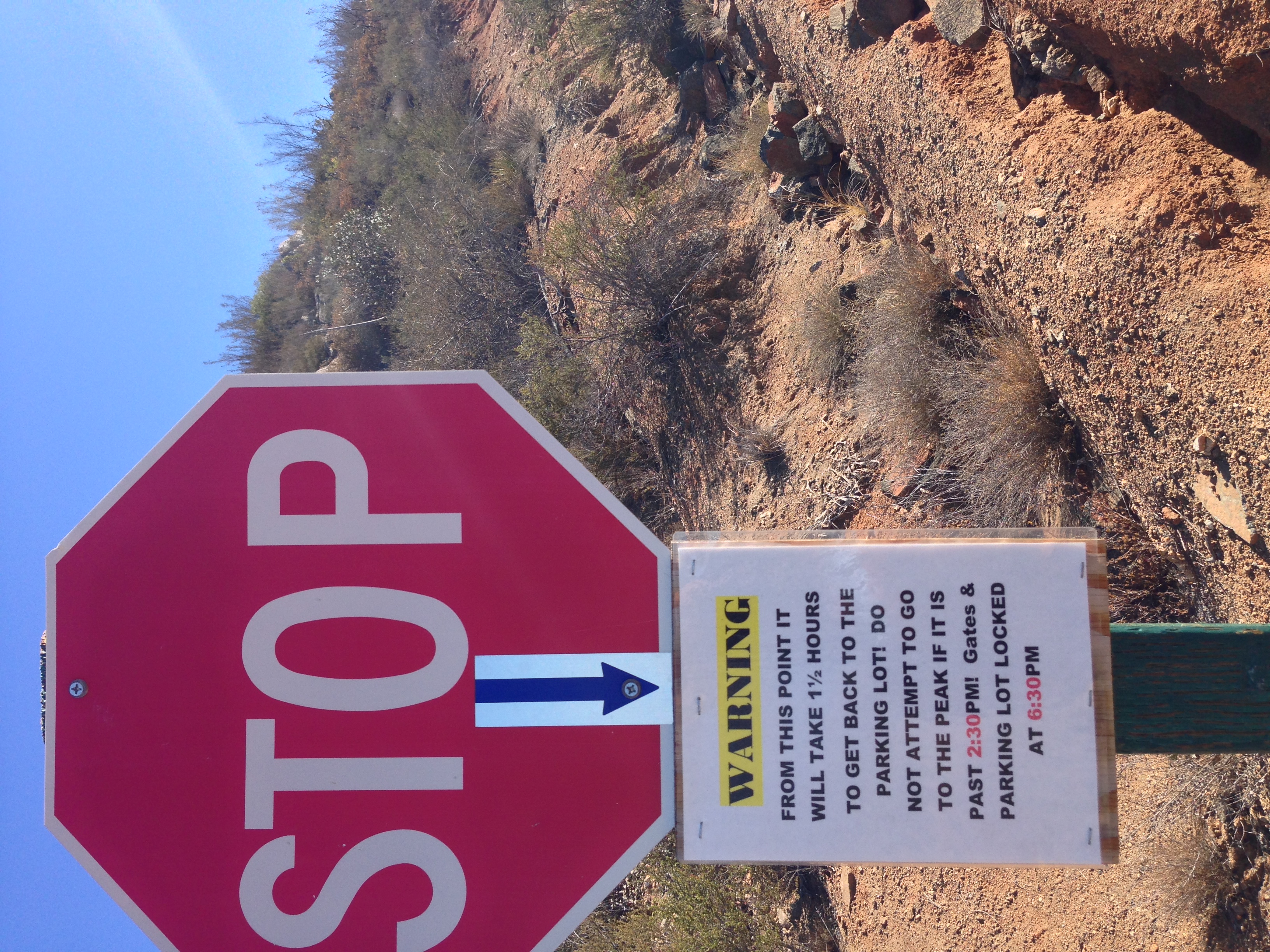
Now that I have provided that disclaimer, potential hikers should also be aware that from the parking area, it is a .25 (1/4 mile) hike to the actual trailhead. While this portion of the hike is along a public road, and is a valid easement, potential hikers should respect the neighborhood, and its inhabitants when heading to the park. And finally, in terms of other important information, potential hikers should be aware that the park is closed during the month of August because of the danger of extreme heat.
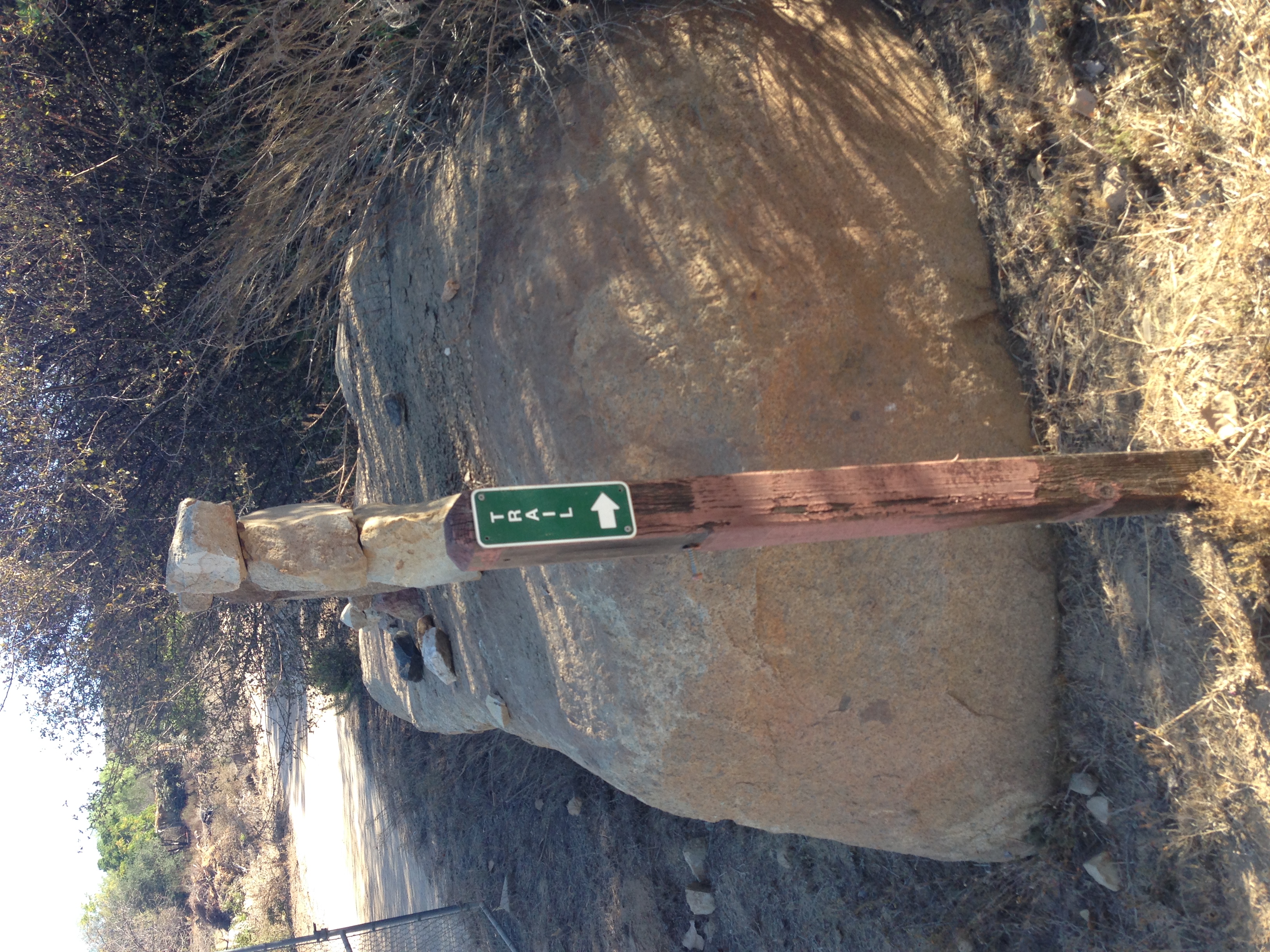
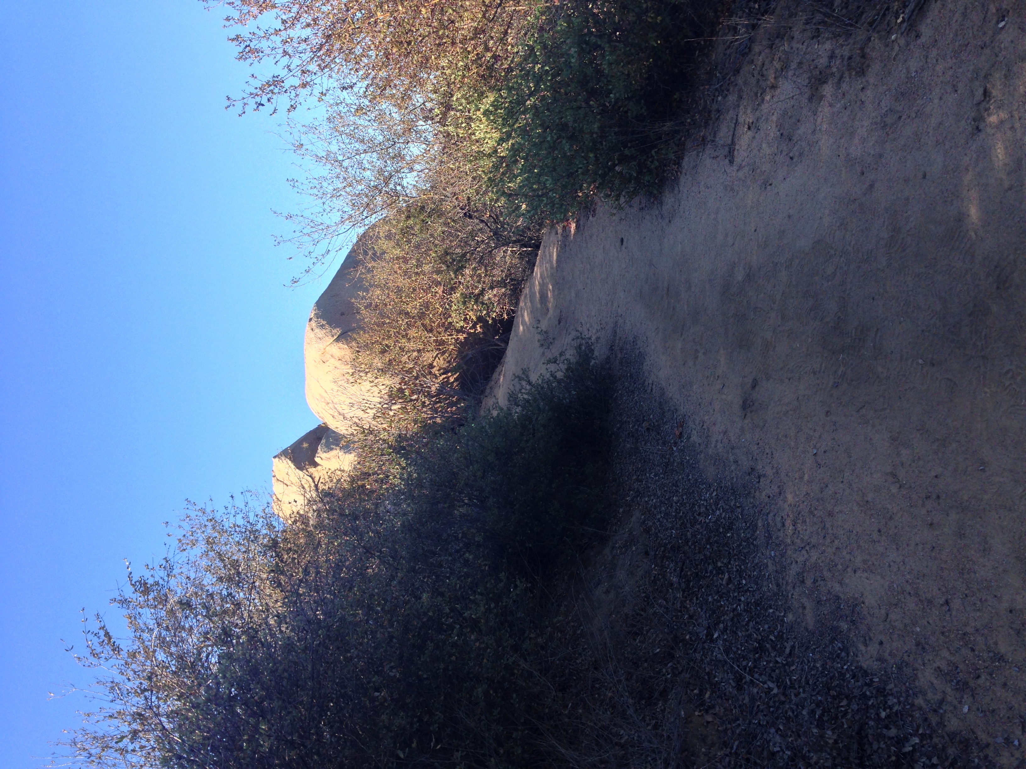
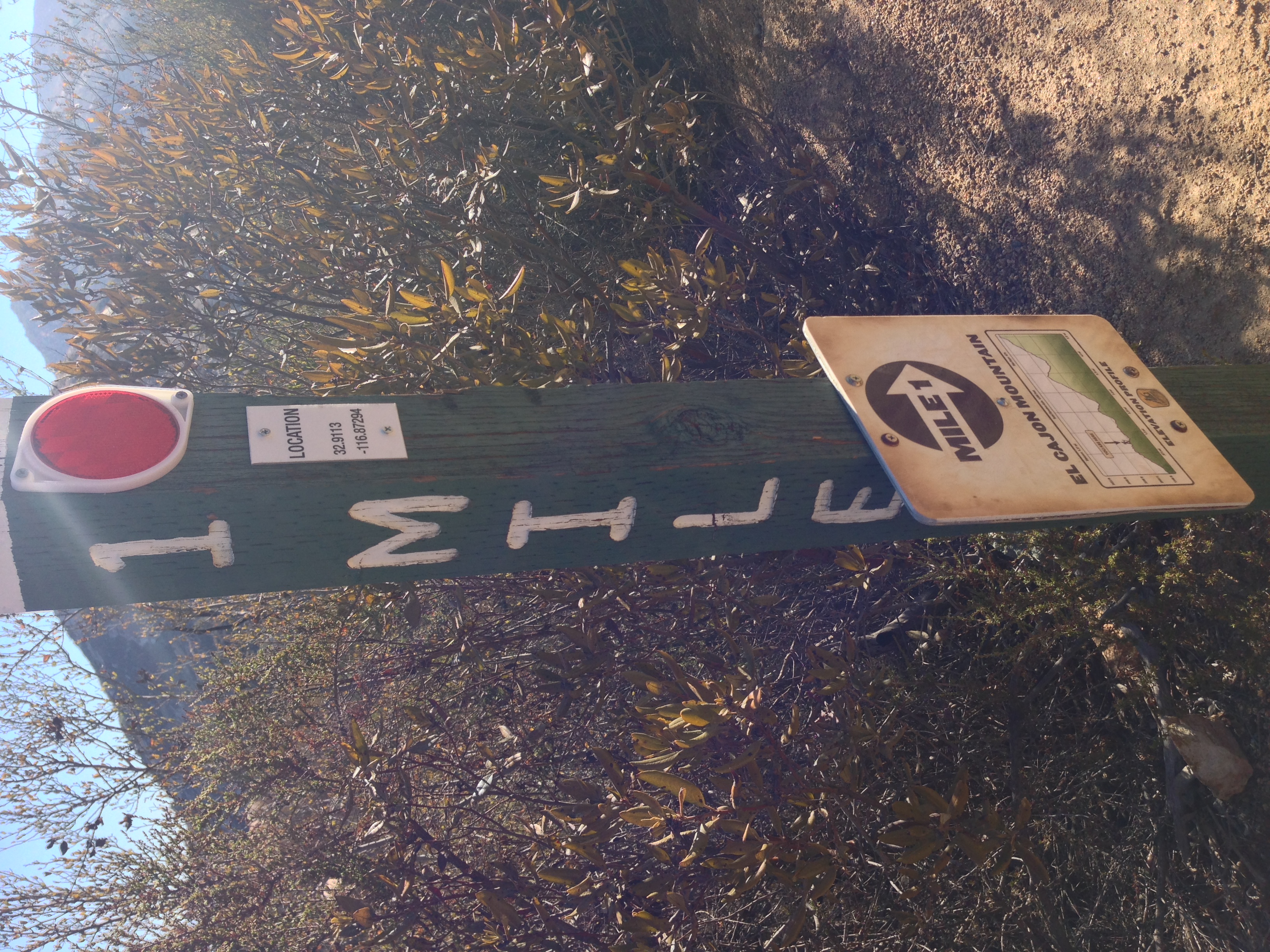
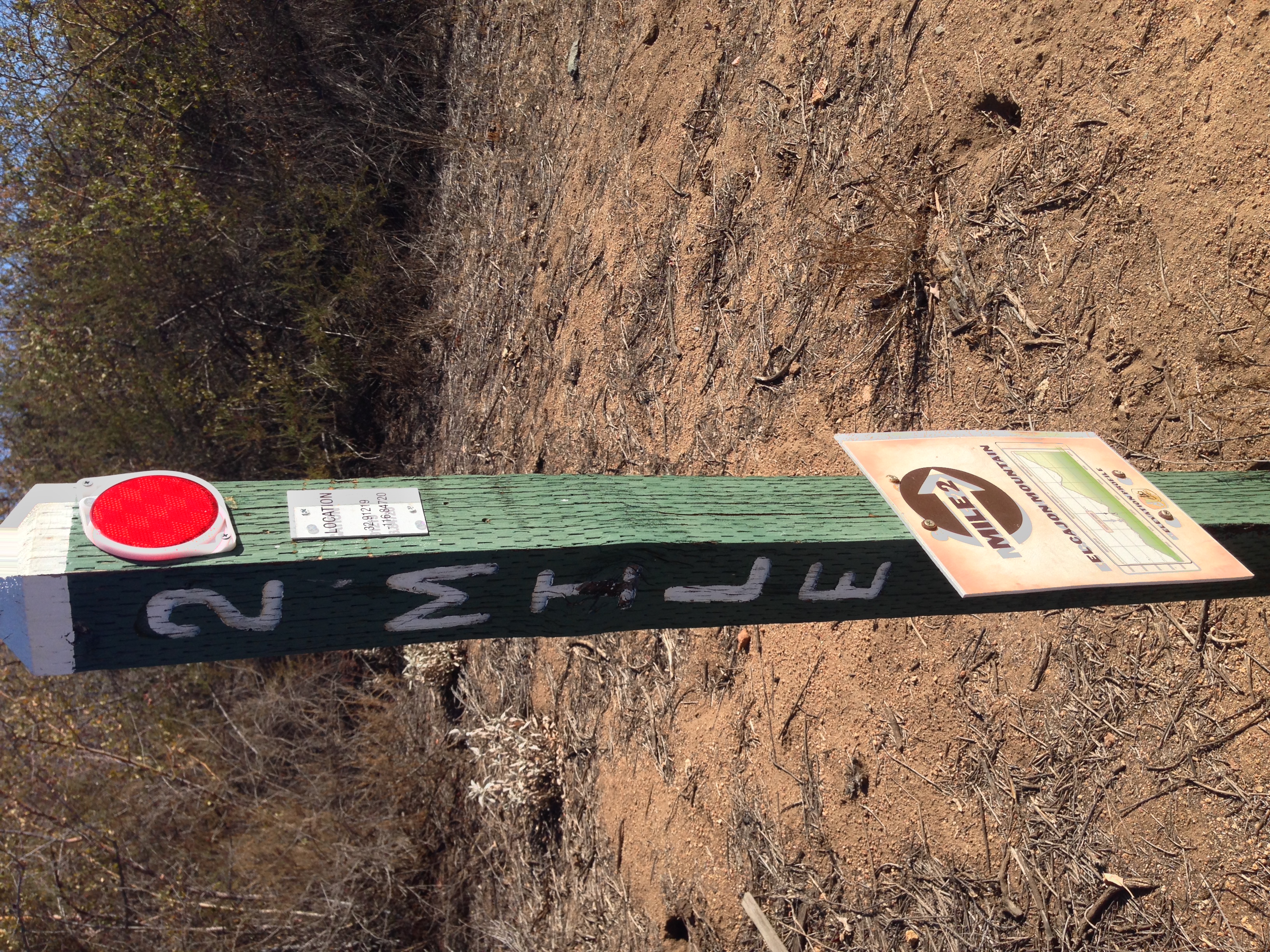
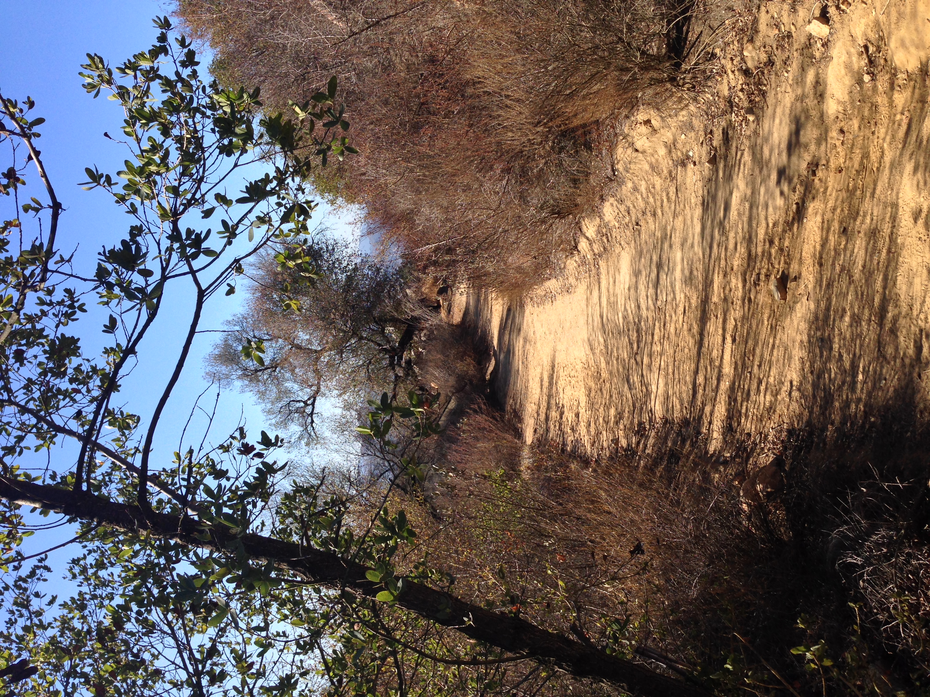
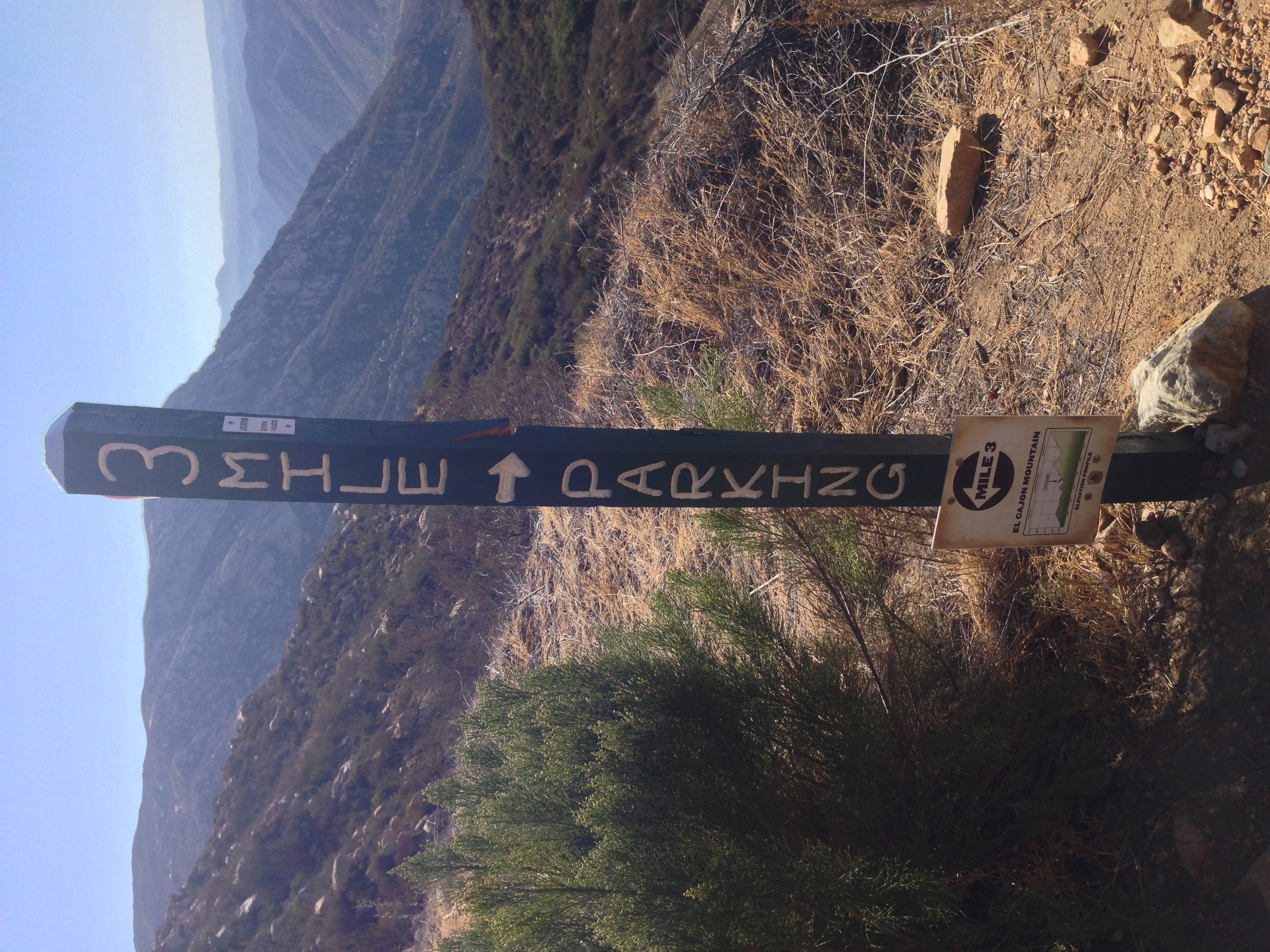
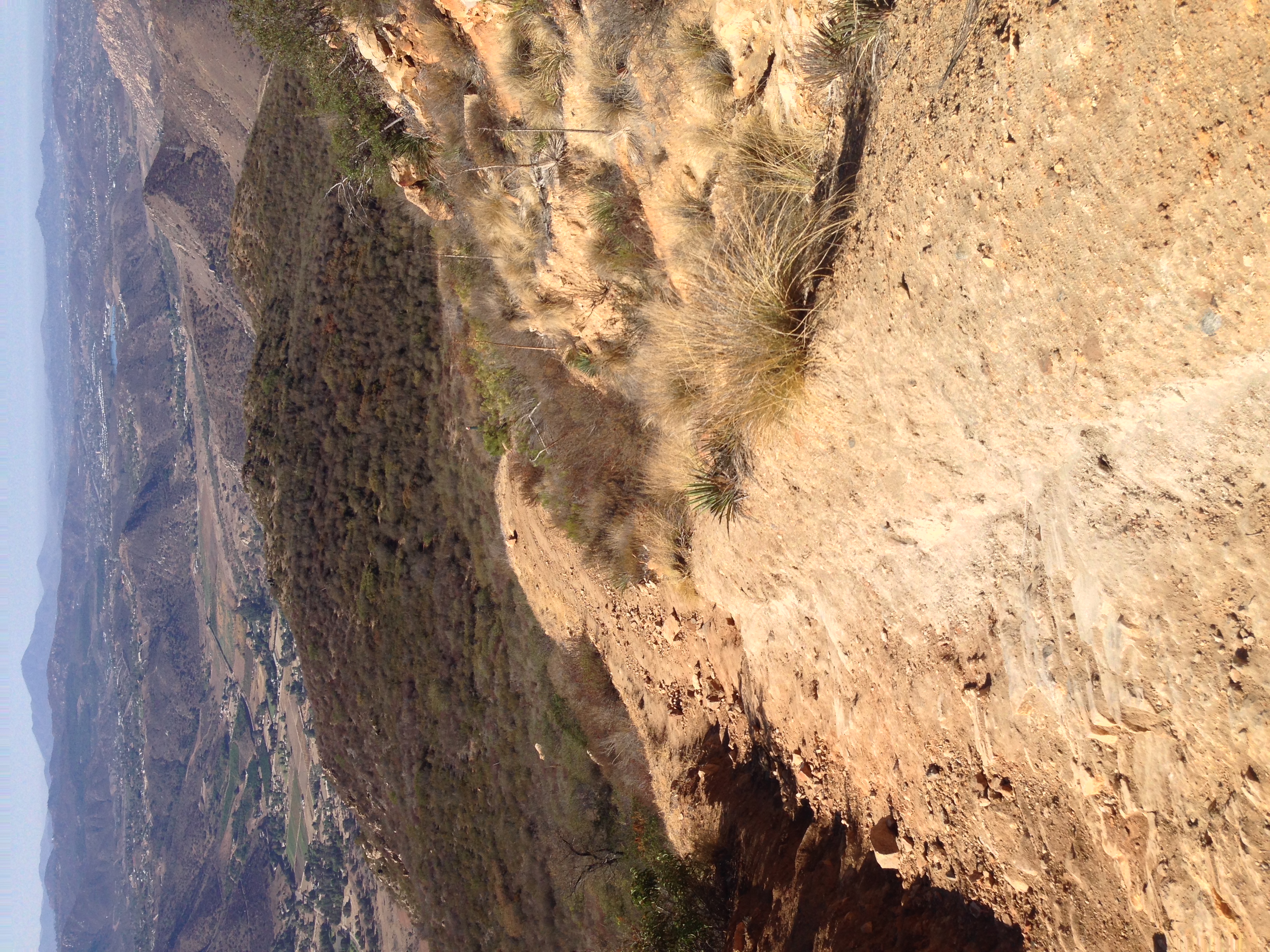
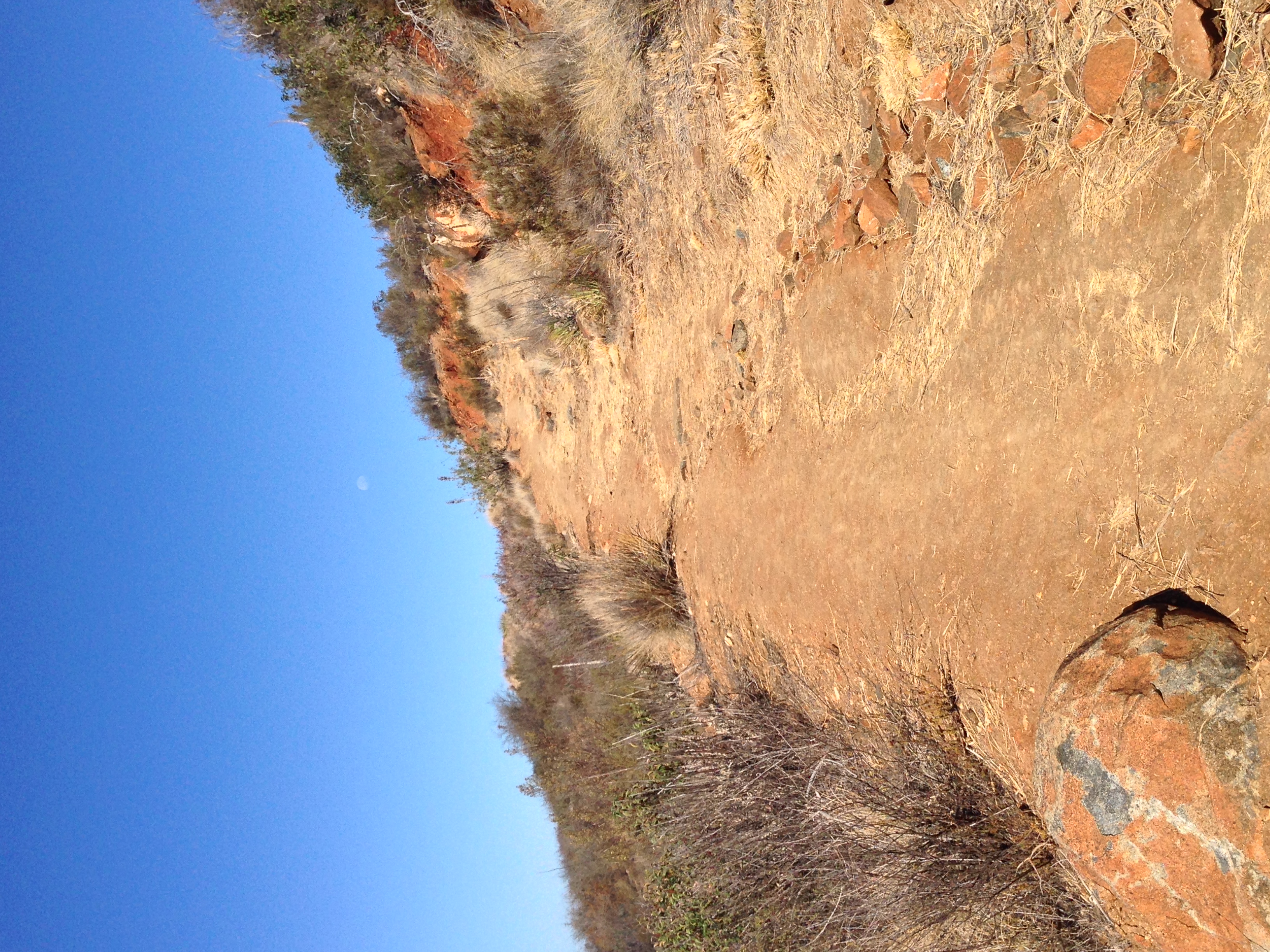
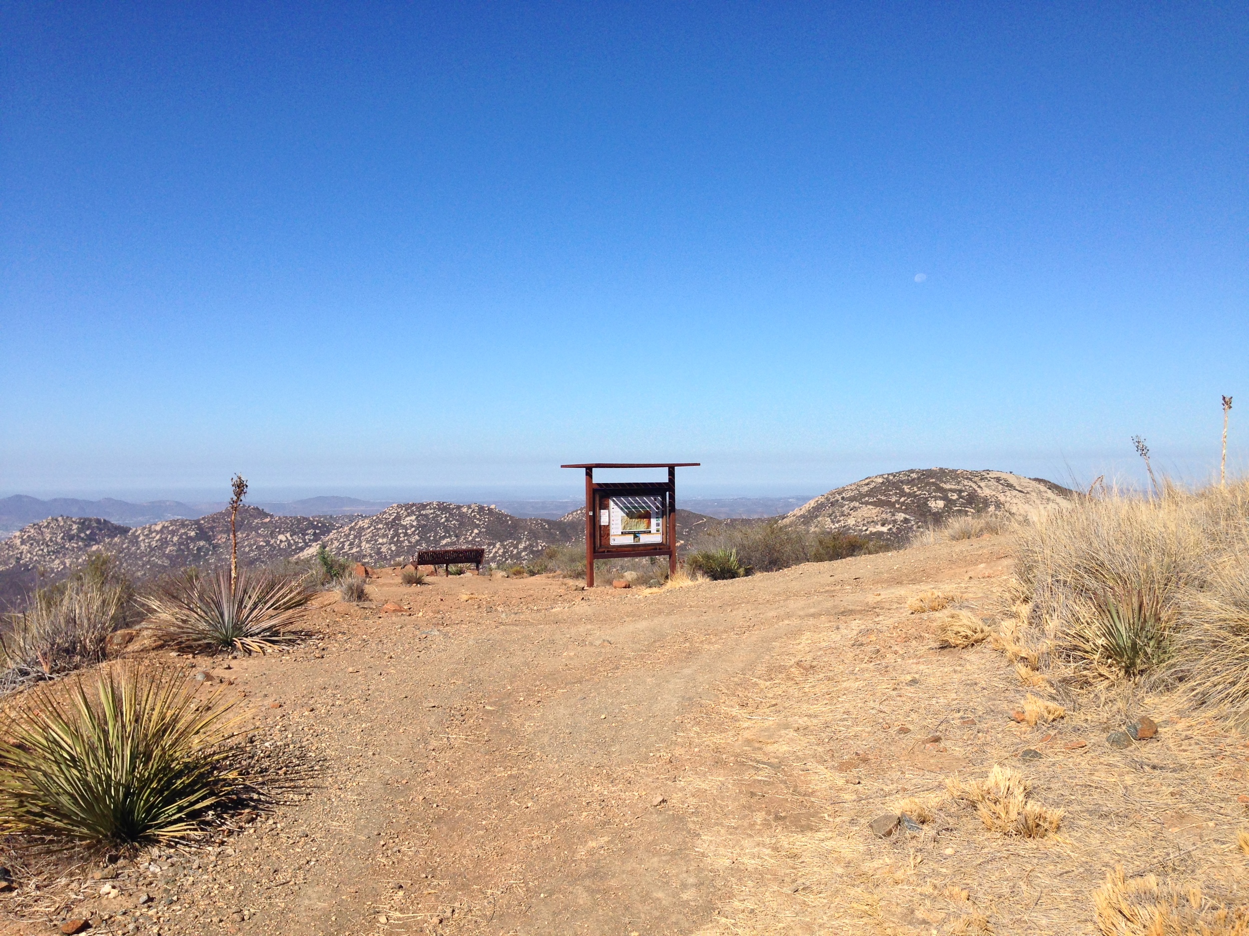
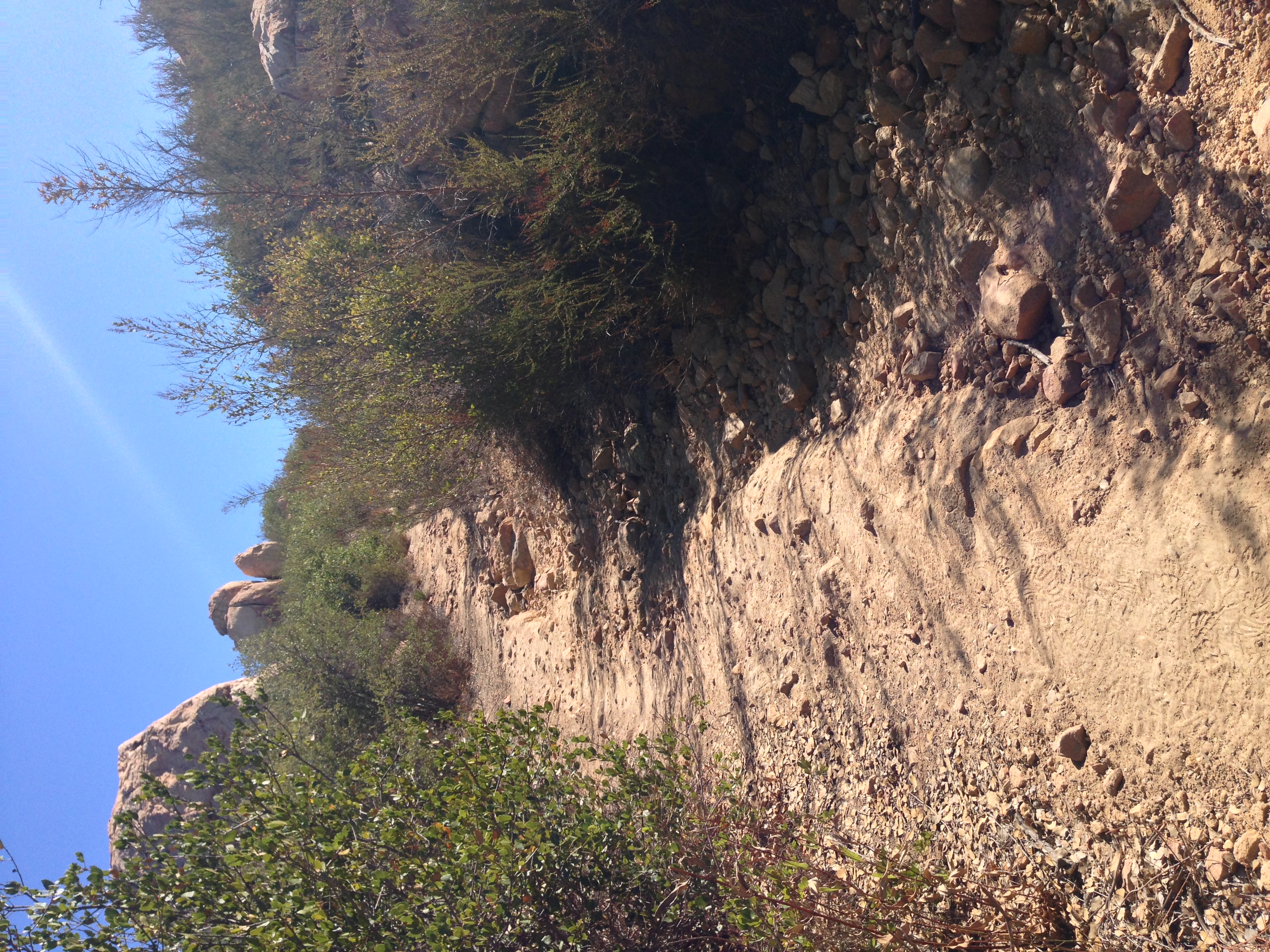
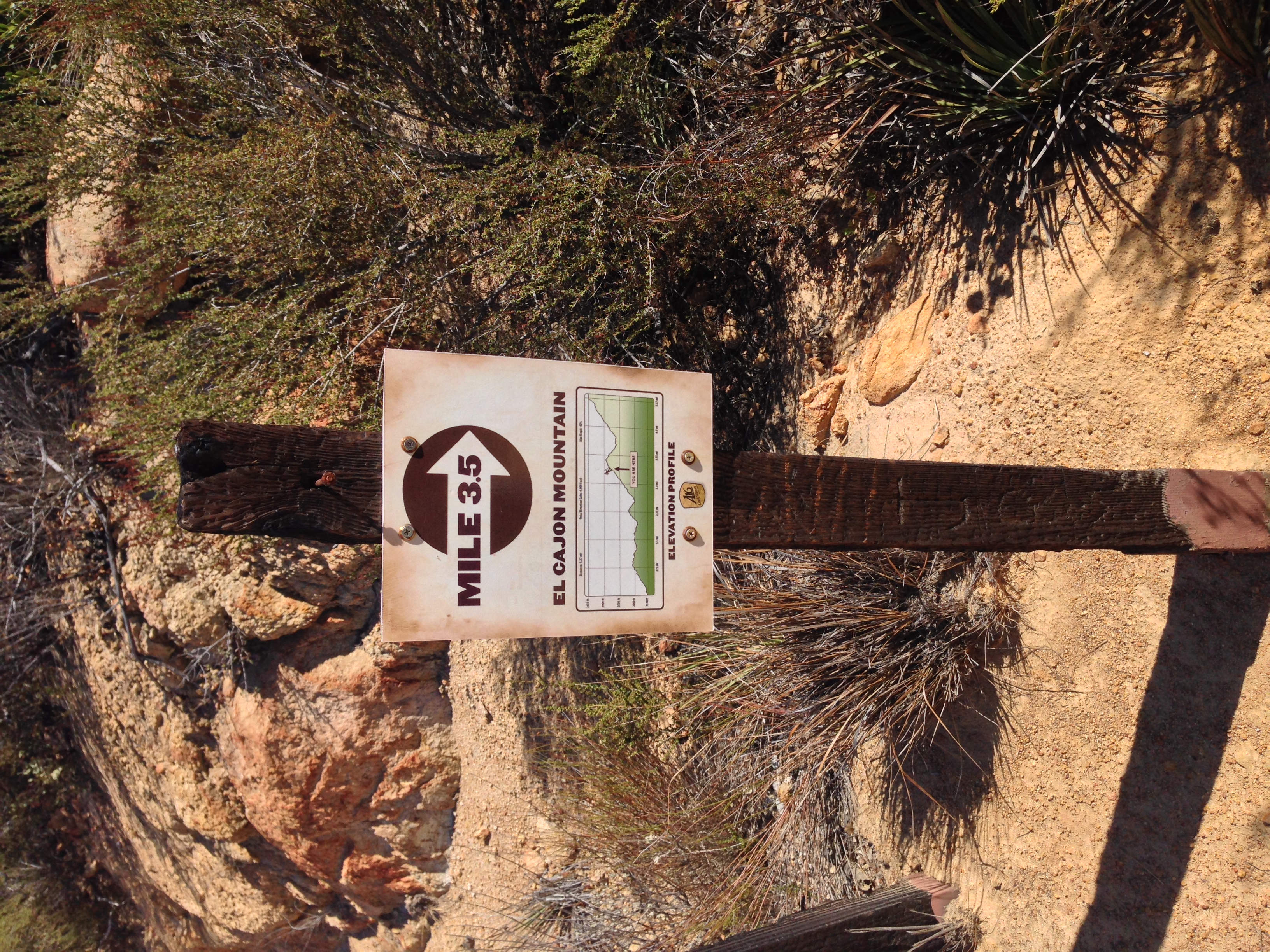
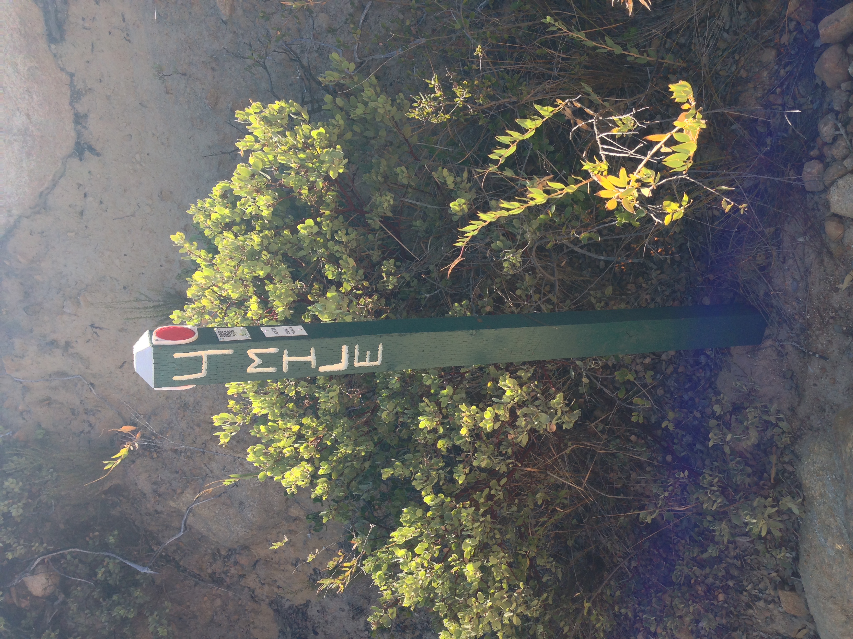
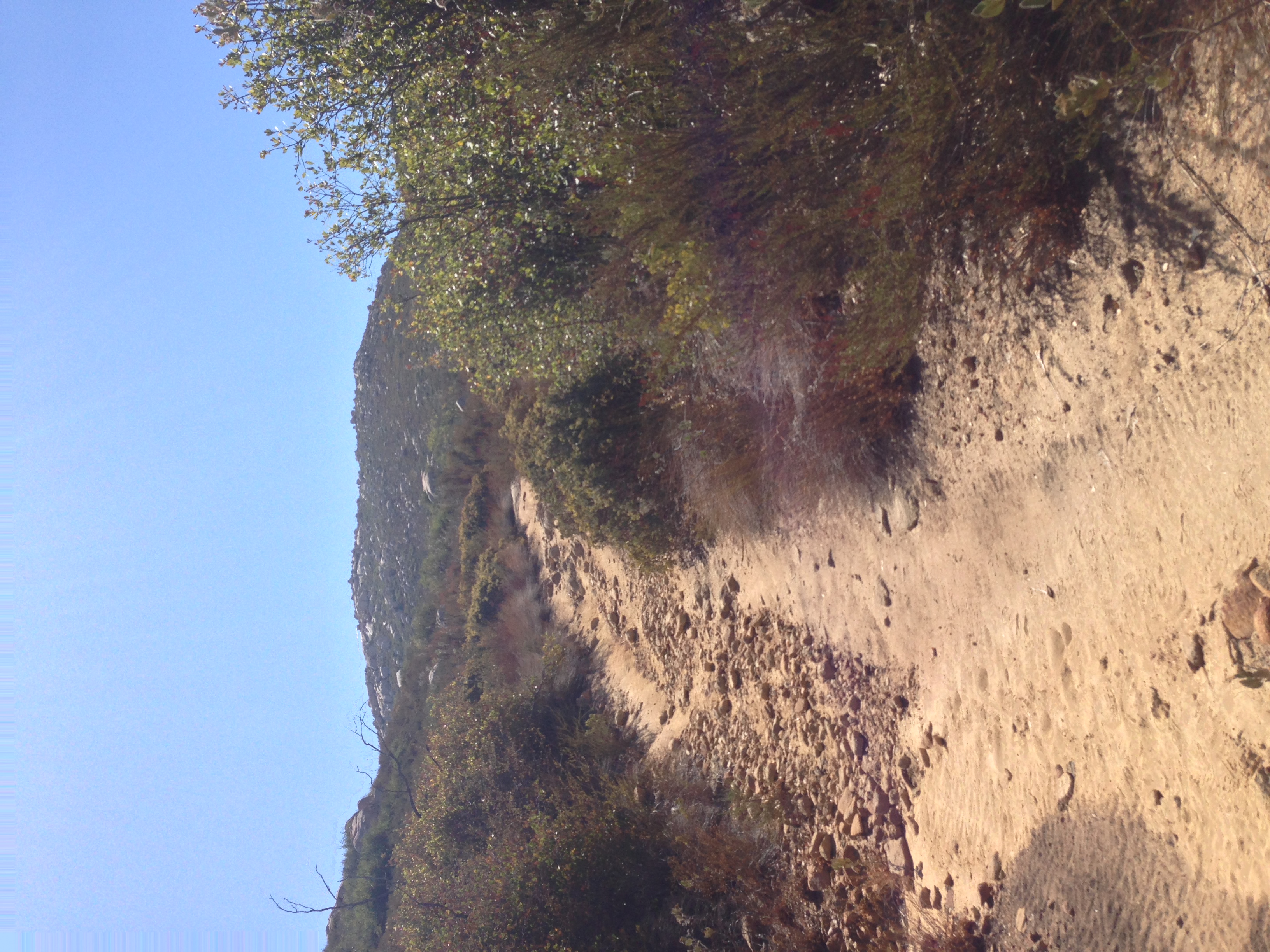
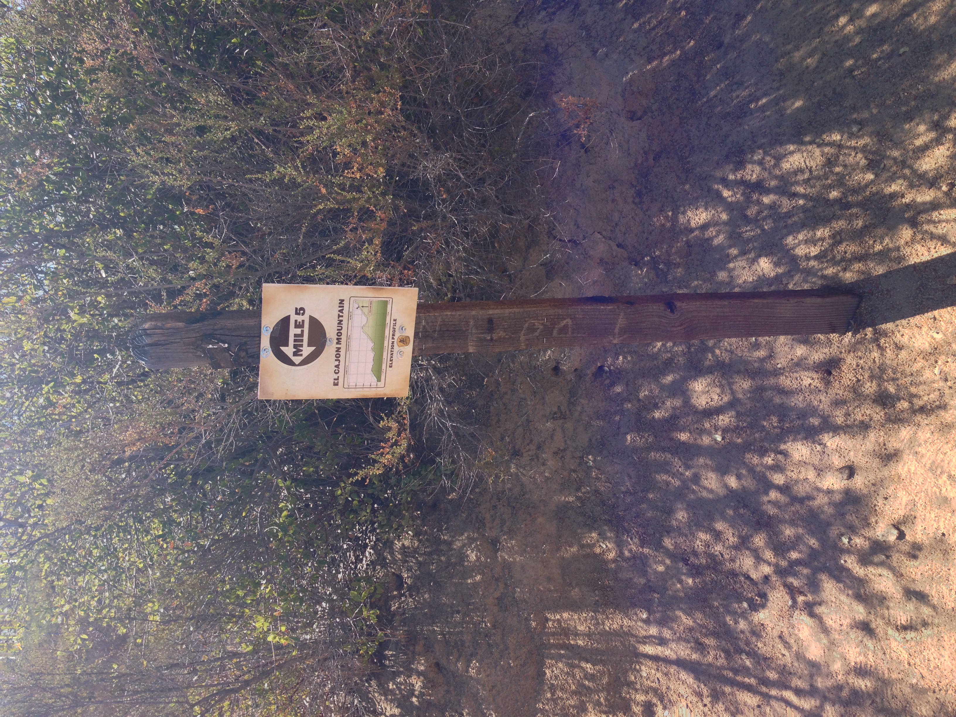
Trail Report: From the park boundary, the trail is readily apparent and straightforward. One of the things I like the most about this hike is that the City of San Diego has done an excellent job of maintaining the old mining road as a trail; and providing more than adequate signage on the trail. As can be seen in the above photos, the City has provided mileage markers at every mile that inform hikers of how far they have gone; where they are at elevation wise; and most importantly, what the elevation gain will be where they are going. Separately, the City has also provided some excellent signs at the higher points that notify hikers of the difficulty/distance remaining near the summit. The amount of information provided by the City on the trail allows even the most novice hiker to understand exactly what they are doing, and what they are up against as they ascend El Cajon Mountain.
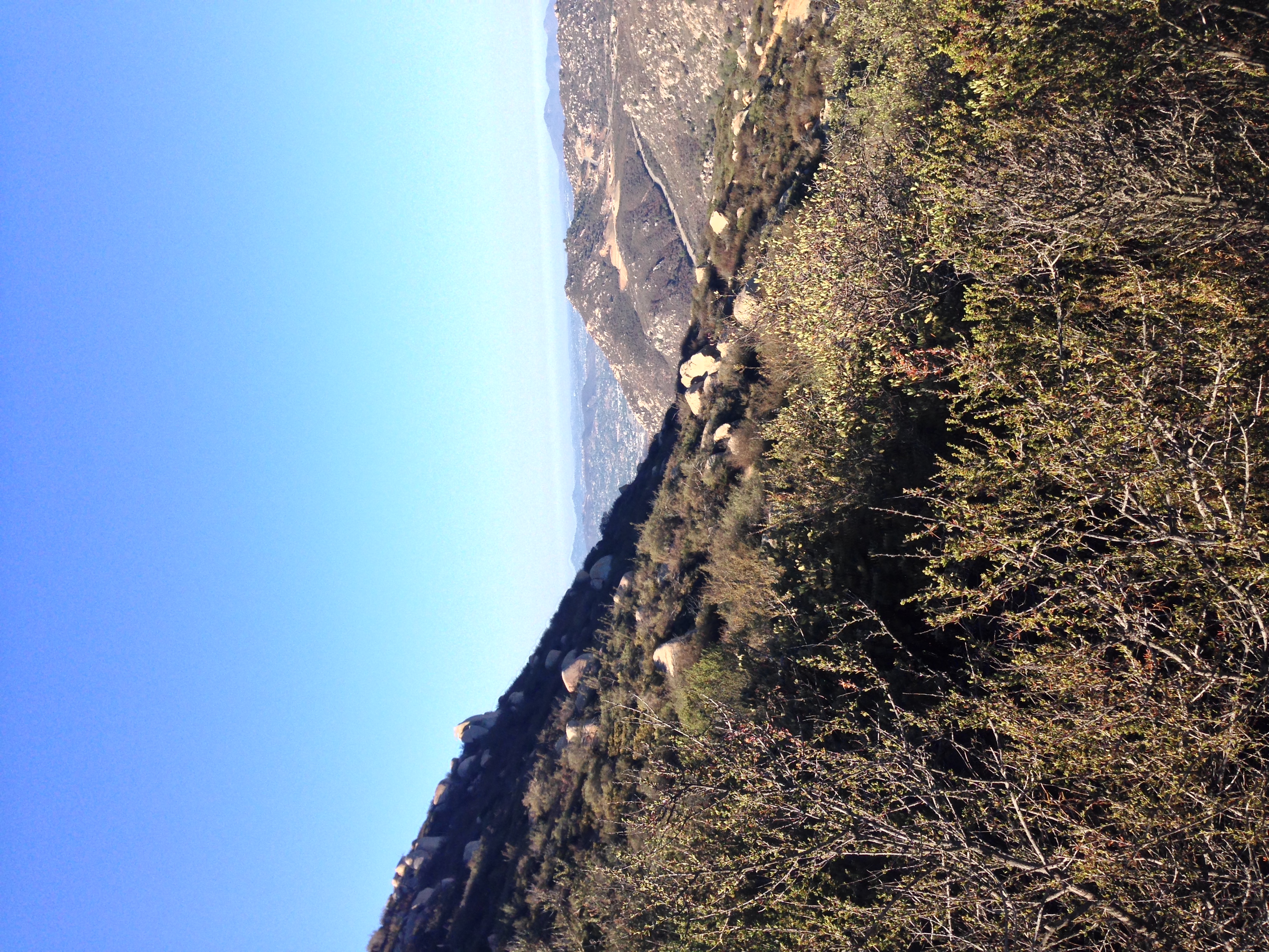
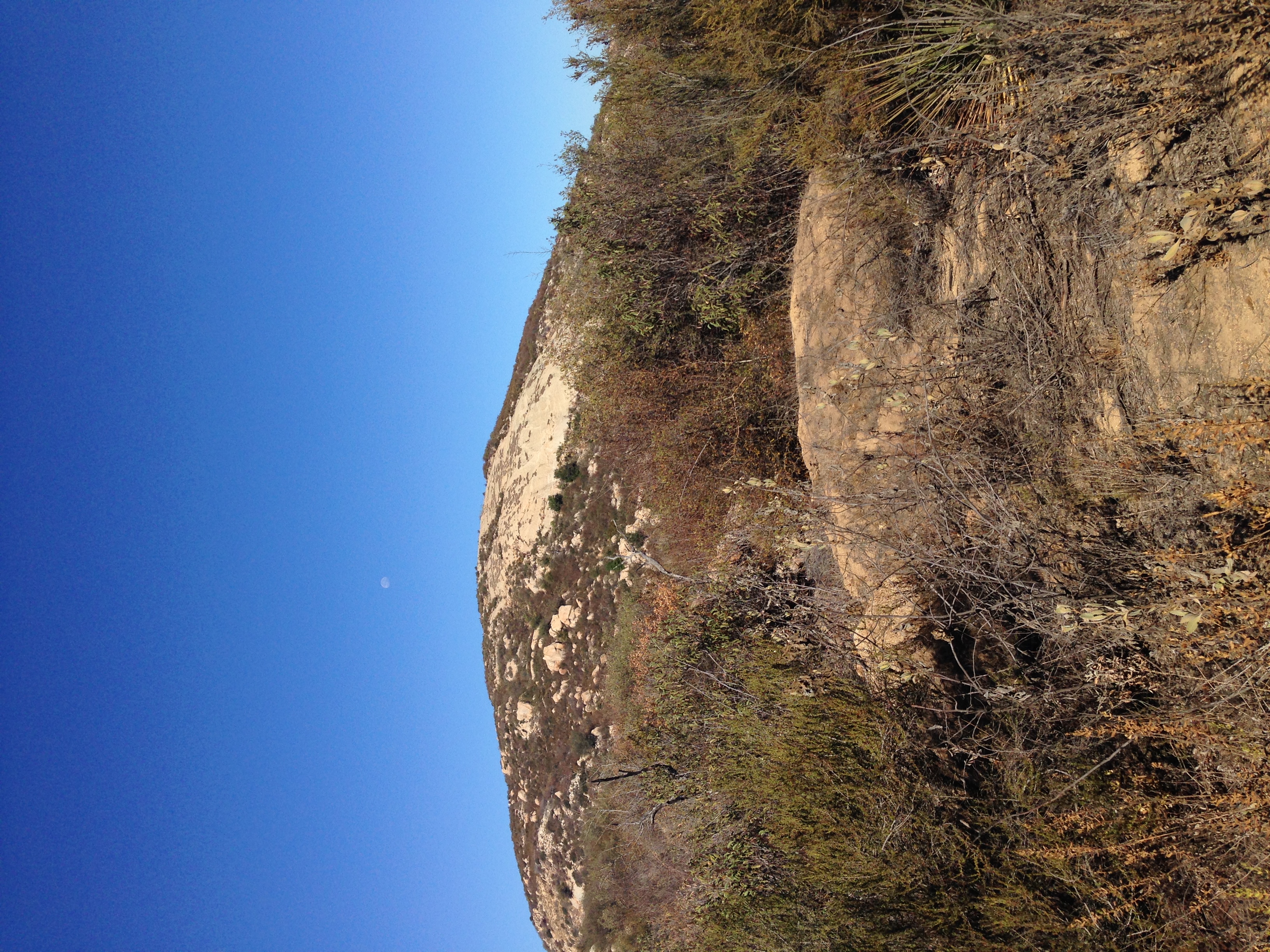
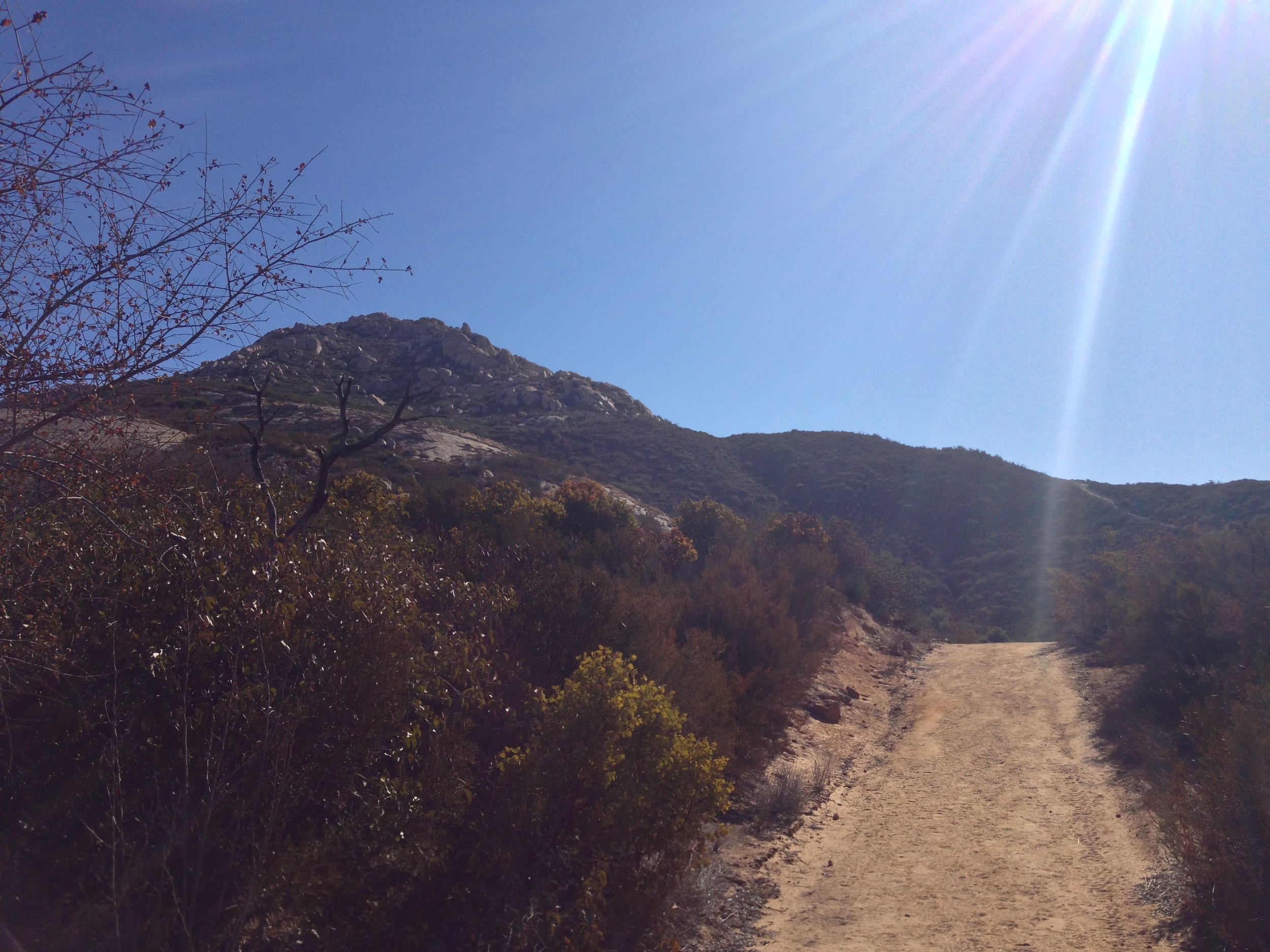
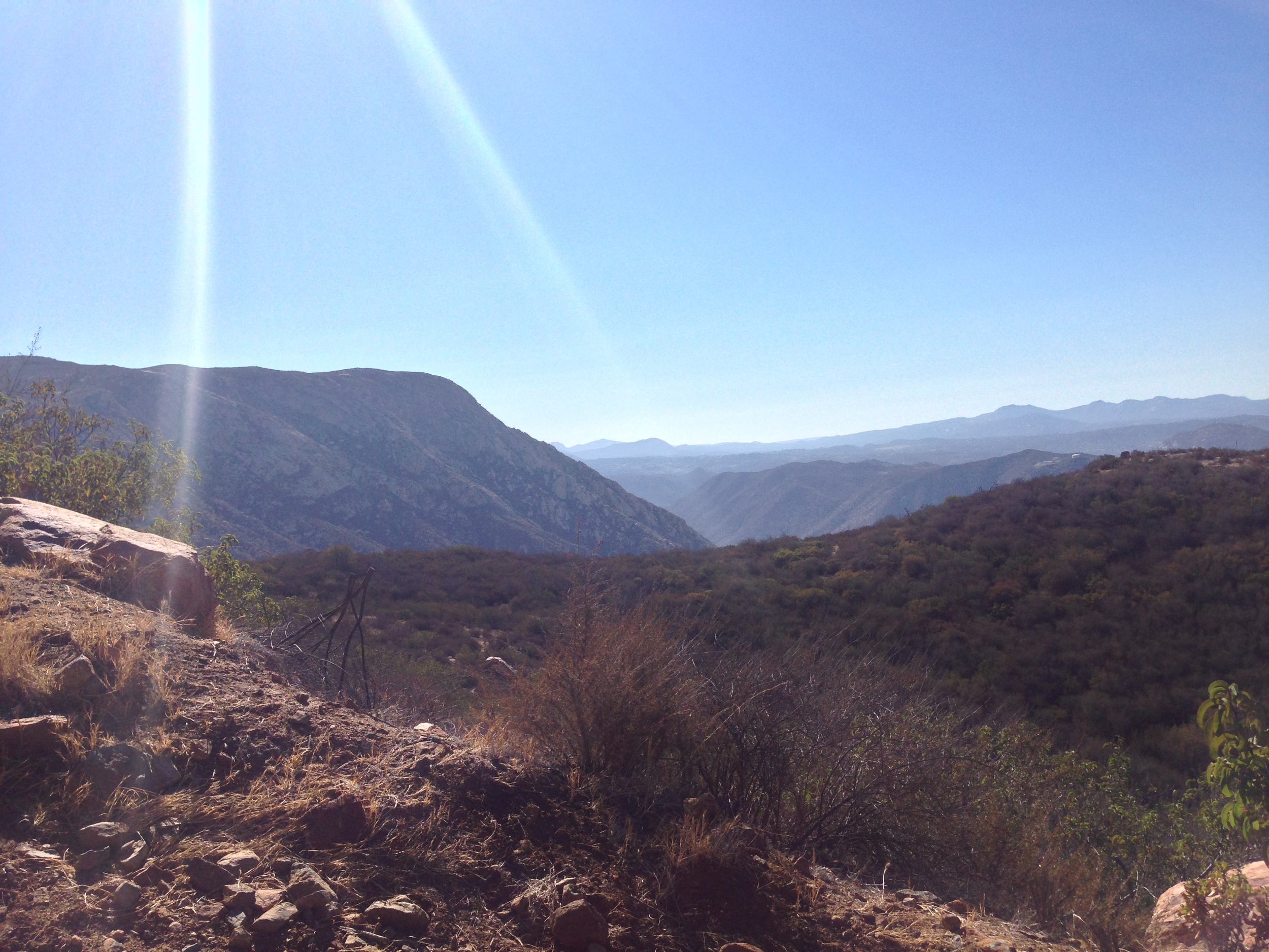
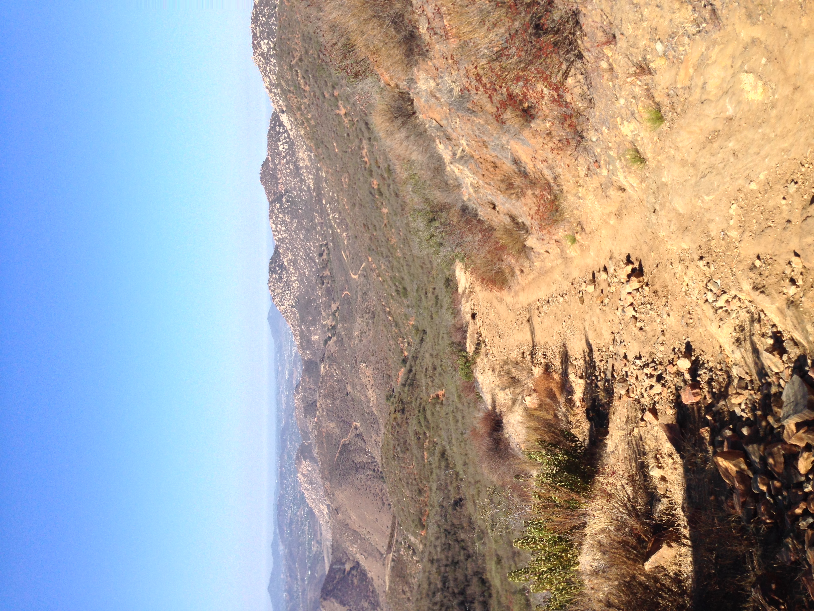
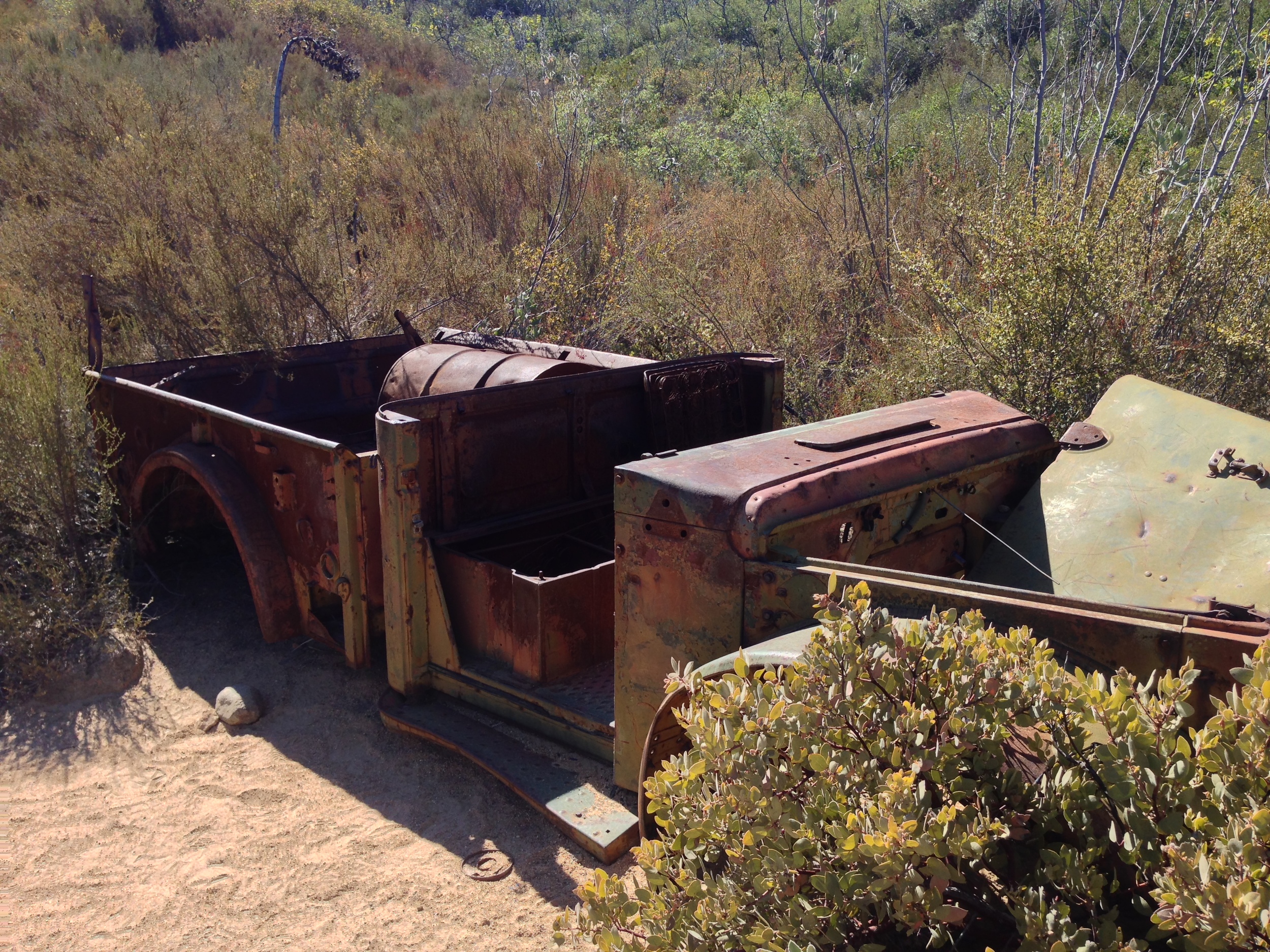
The trail itself is 5.4 miles one way; which means that for a successful climb of the peak, a hiker will experience a roundtrip distance of 10.6 miles. But, it is also important to remember that if you are climbing the peak, you are also hiking an additional half mile of distance to and from the parking area, which means that the total roundtrip distance is actually 11.1 miles. While the peak’s elevation is only 3,675 feet, the elevation gained on the hike is around 4,000 feet. The reason for this is that during the hike, the trail ascends steeply in places – but also has a number of substantial descents as well. While minimal descents are present on climbs of any mountain, what sets El Cajon Mountain apart is that the descents are for extended sections of trail, and in some places, are quite steep. In layman’s terms what this means is that during the ascent and also during the descent, you will have to gain elevation that you had already gained (and then lost). Once you arrive at the burned out jeep along the trail (a remnant of the mining history of the mountain, near mile marker 5), you are very close to the summit. From this point, it is a relatively short (and relatively flat) ascent to the summit, which on a clear day has great views of the ocean and the peaks in San Diego’s eastern county.
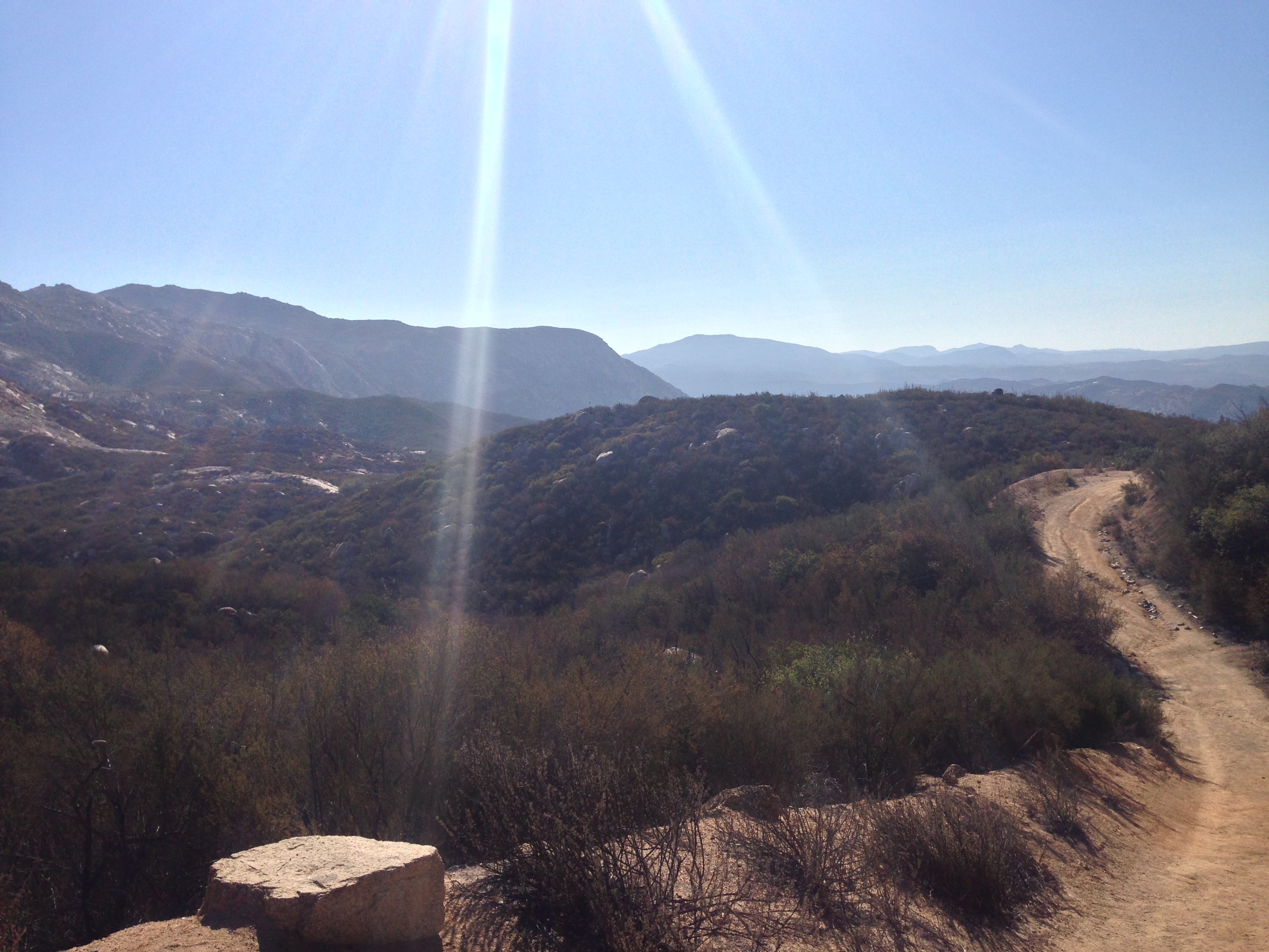
Musings/Tips: I am generally not a fan of descriptors of “toughest” with regard to hikes; and based on my knowledge of San Diego County, I am not even sure that this hike is the toughest. For example, the Goat Canyon Trestle traverse in the desert has less distance, but is probably harder given the fact that there is no trail, and it is in the desert. Without getting into the particulars of which hike is the absolute toughest in the County, let me say that the hype for this hike is justified. This is a difficult approach due to three things: the distance; the elevation gain; and the lack of coverage throughout the entirety of the hike. While none of these things are insurmountable, hikers should be aware that the combination of these factors makes the hike strenuous.
In particular, on the ascent, at 1.5 miles, 2.5 miles, and 3.5 miles, there are substantial portions of the trail that descend. This means that on the return, there is substantial up and downhill starting at slightly over the seventh mile of hiking. Hikers should also be aware that although the park is closed in August due to heat, July, September, and October can also be extremely hot as well. When I hiked the trail in mid-September, I started at 8:20 a.m., and the temperature was 76 degrees. When I finished the trail at 12:10 p.m., the temperature was 104 degrees. Potential hikers should be aware of these conditions; and plan accordingly. My opinion about this hike is that if you are looking for a challenge, this is the hike for you (and I did enjoy the challenge), but if not, this is a hike you can bypass as there are shorter and more picturesque hikes in the County.