
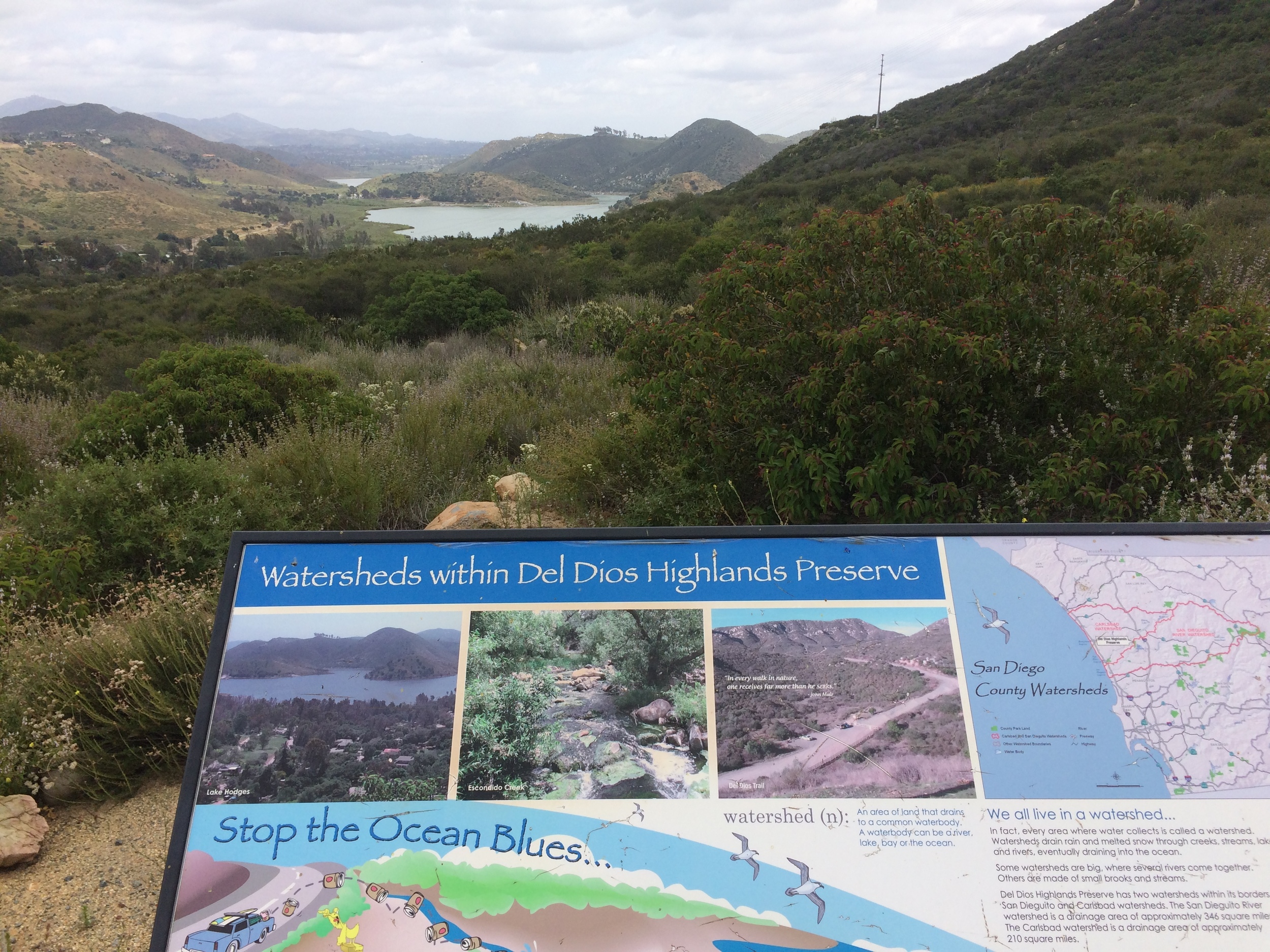
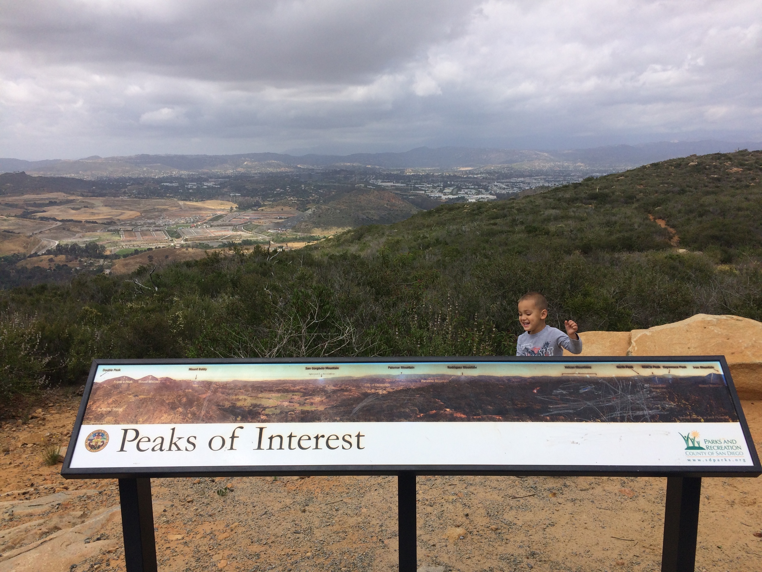
Looking toward Northeast San Diego County, Del Dios Highland Preserve
Although a variety of great outdoor options exist in North County San Diego, one of the newer outdoor multi-use areas is the Del Dios Highland Preserve. Comprising some seven hundred and seventy four acres of coastal sage scrub and mixed chaparral habitats, the preserve also straddles the San Dieguito and Escondido Creek Watersheds. From 2002 to 2004, the area was restored by the County of San Diego and its partner, the Escondido Creek Conservancy, and from 2005 onward, has been a preserve that has been open to the public. The preserve features one trail, the Del Dios Highland Preserve multiuse trail that is accessible by mountain bikers, joggers, and hikers alike, which also connects the preserve to the nearby Elfin Forest Preserve.
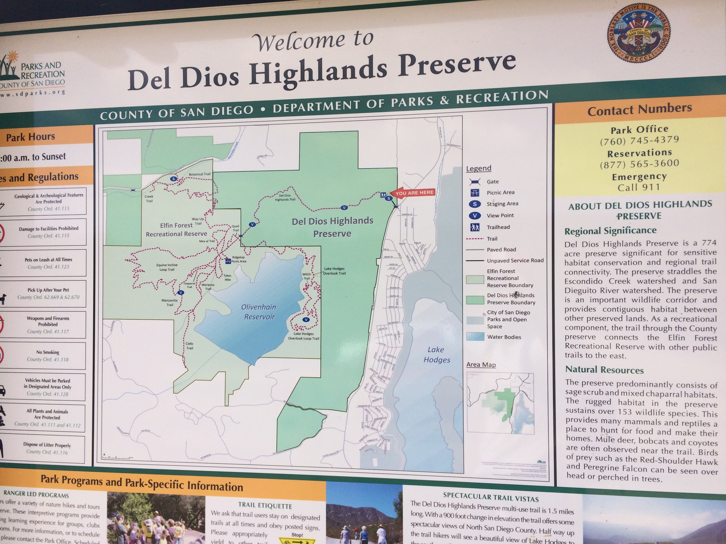
Directions: The Del Dios Highland Preserve is located to the East of Lake Hodges; and is located directly off of Del Dios Highway. Although the Preserve does have a sign, it is somewhat easy to miss from the highway. The easiest way to access the preserve is to exit at West Valley Parkway, and head five miles west. Four miles from Interstate 15, West Valley Parkway becomes Del Dios Highway, and from this point, the preserve is located one mile to the west along Del Dios; and is located on the North (right) hand side of the road. For mapping purposes, the preserve’s address is: 9860 Del Dios Hwy, Escondido, CA 92025.
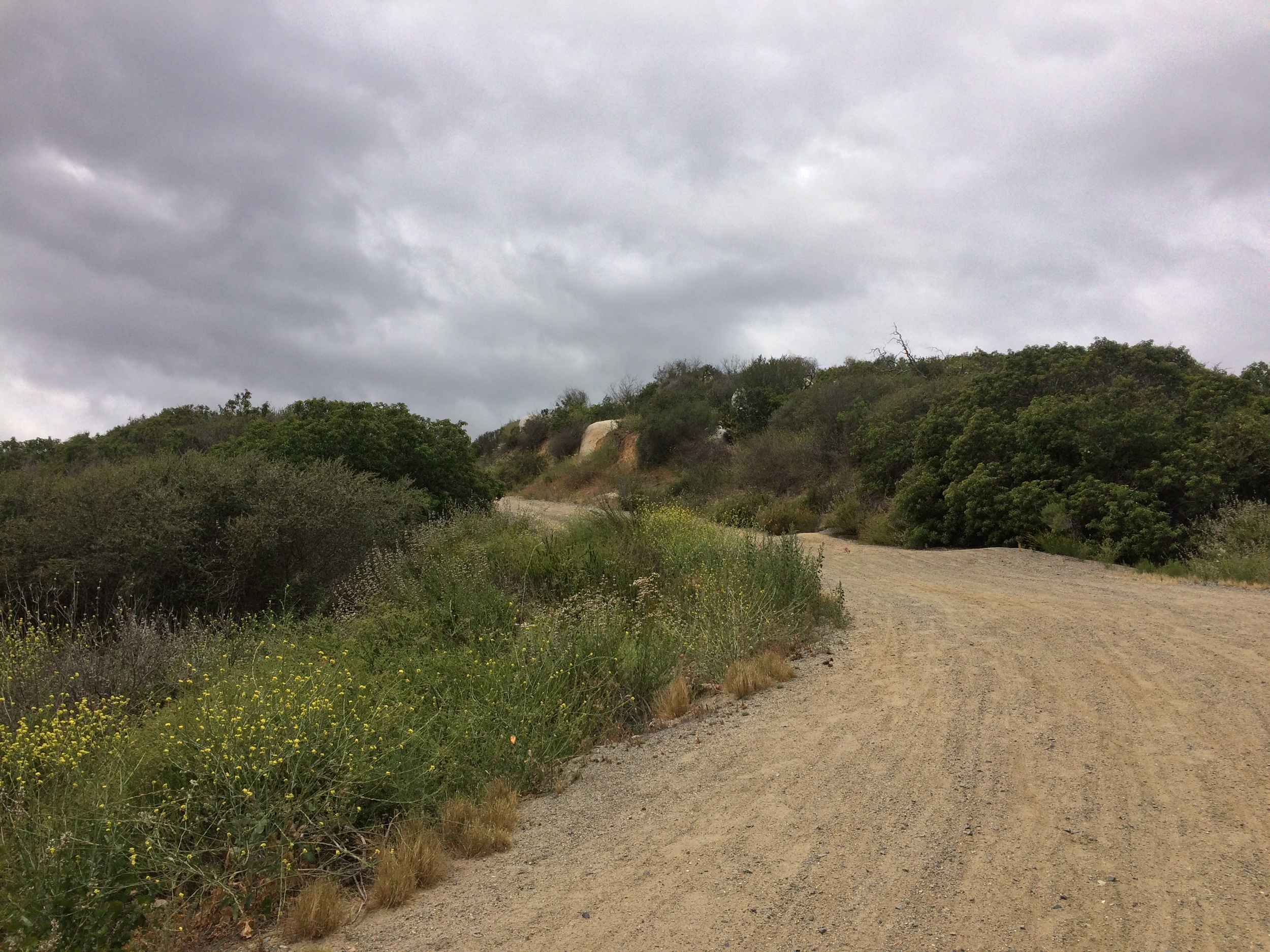
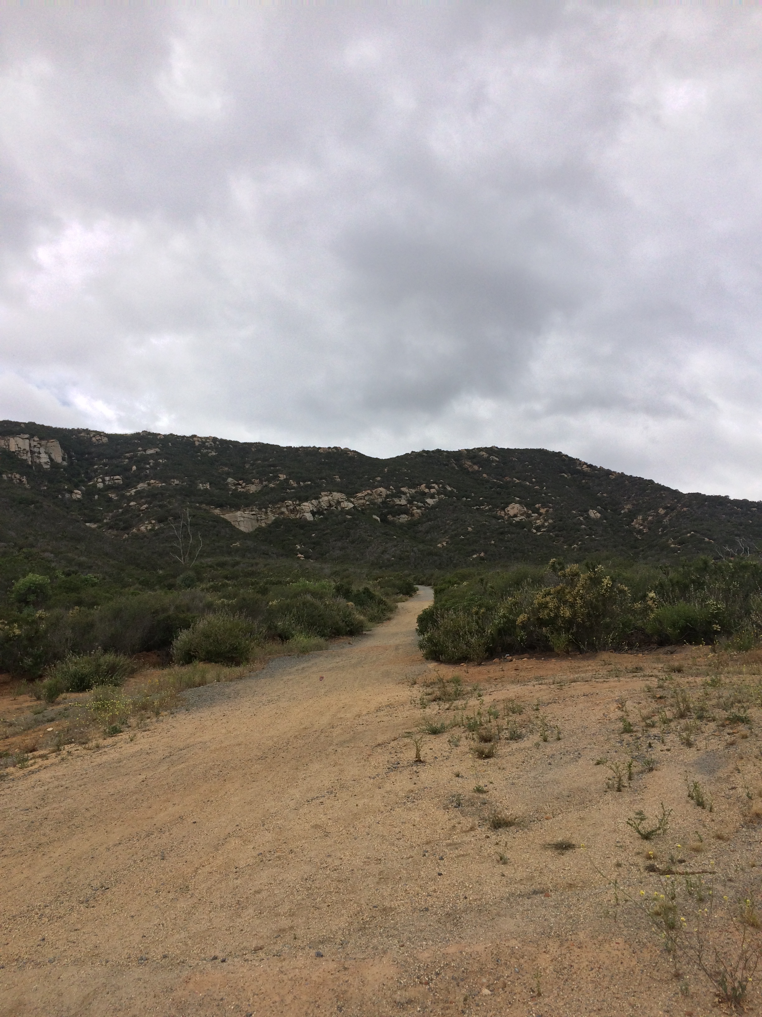
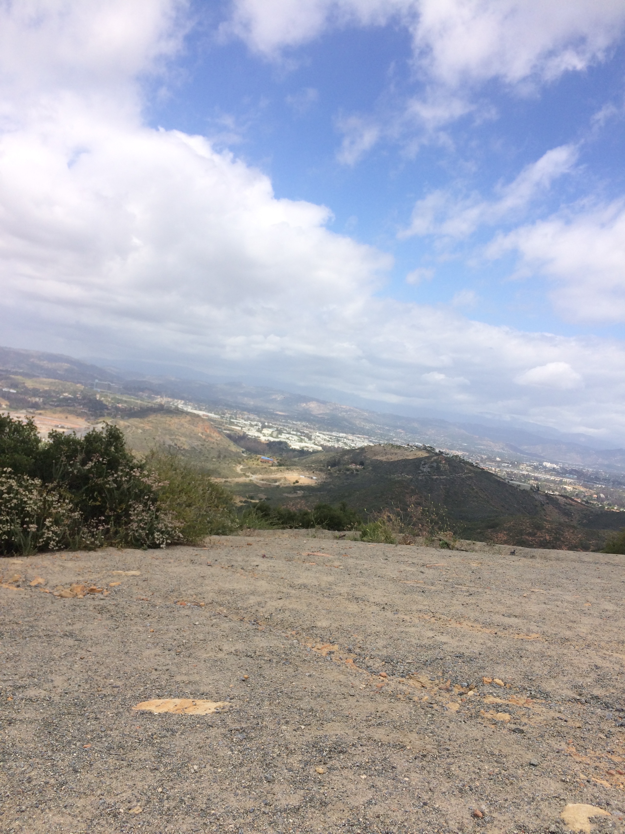
The preserve has a small parking area a short distance from Del Dios Highway; but does not have an entrance fee or bathroom facilities. The preserve is open from 8:00 a.m. to a half hour before sunset daily, and does have a locking gate restricting access to and from the parking area either before or after operating hours. From the parking area, the preserve’s multiuse trail (also known as the QR Exercise Trail) is readily apparent, as it is a leveled fire access road. From the parking area, the trail ascends 1.5 miles to a viewpoint delineating local peaks of interest; and also connects to trails emerging from the Elfin Forest Preserve. As a fire access road, the route is fairly straightforward and first heads up through the southwestern face of the hills surrounding Lake Hodges.
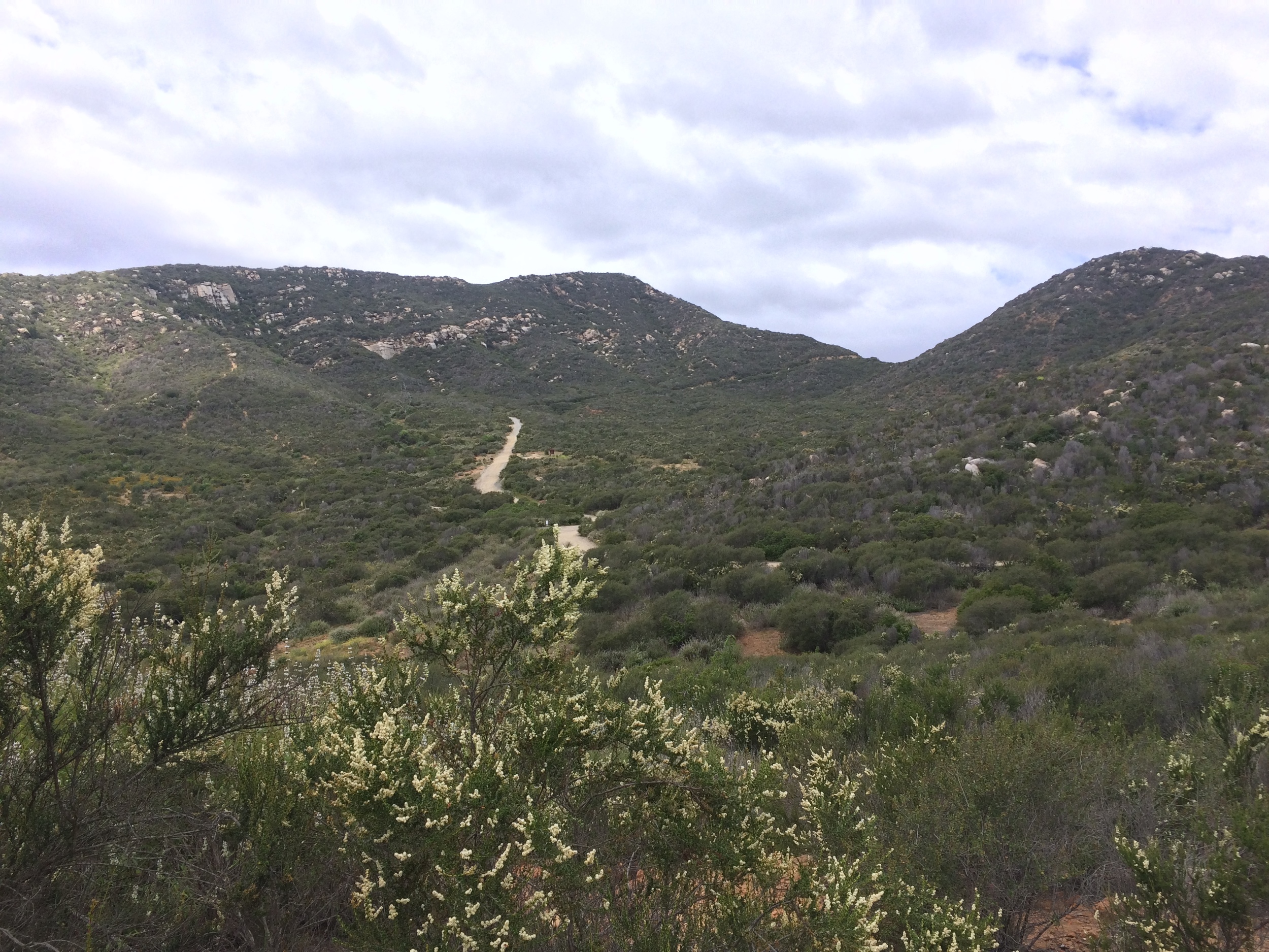
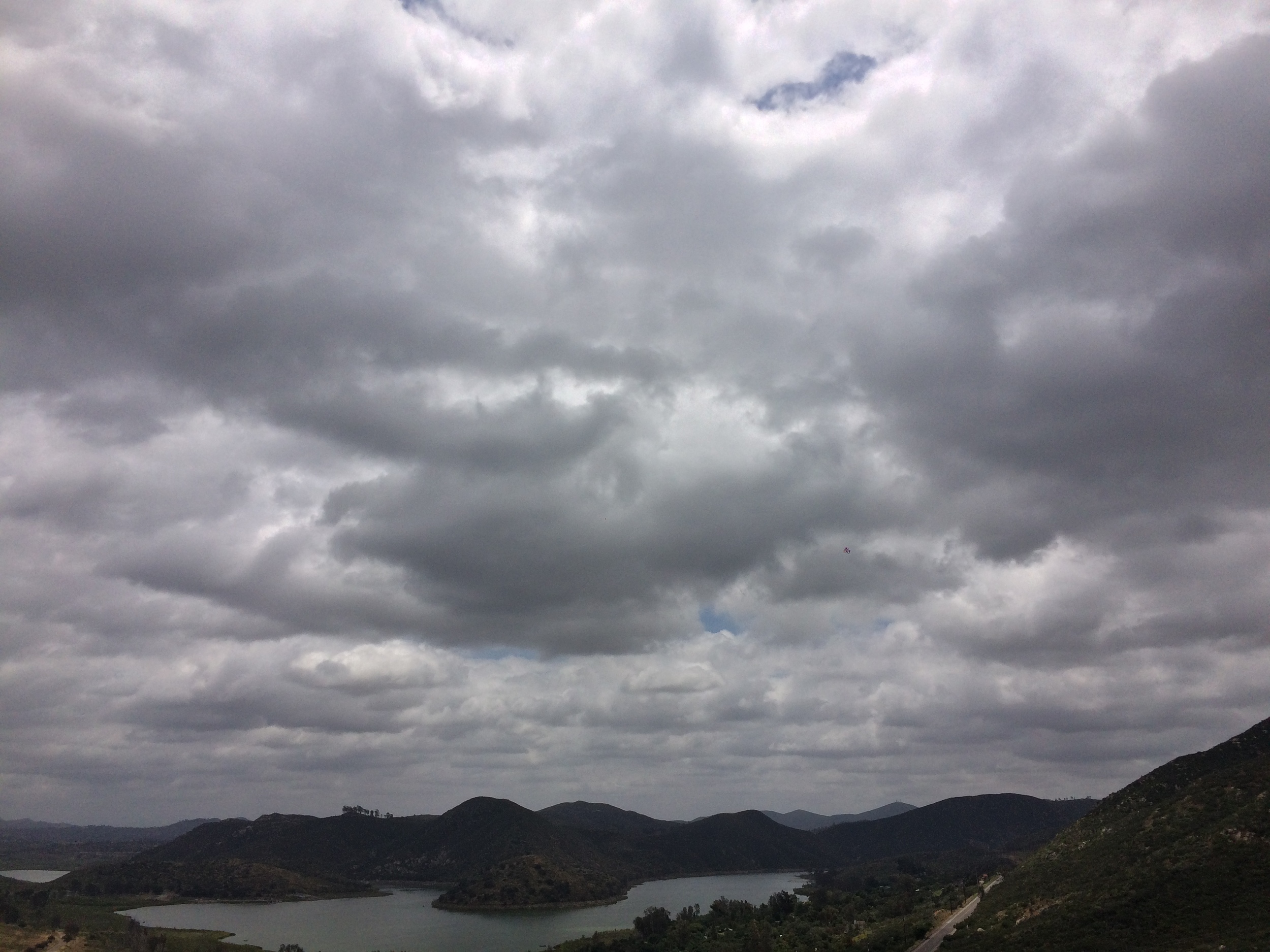
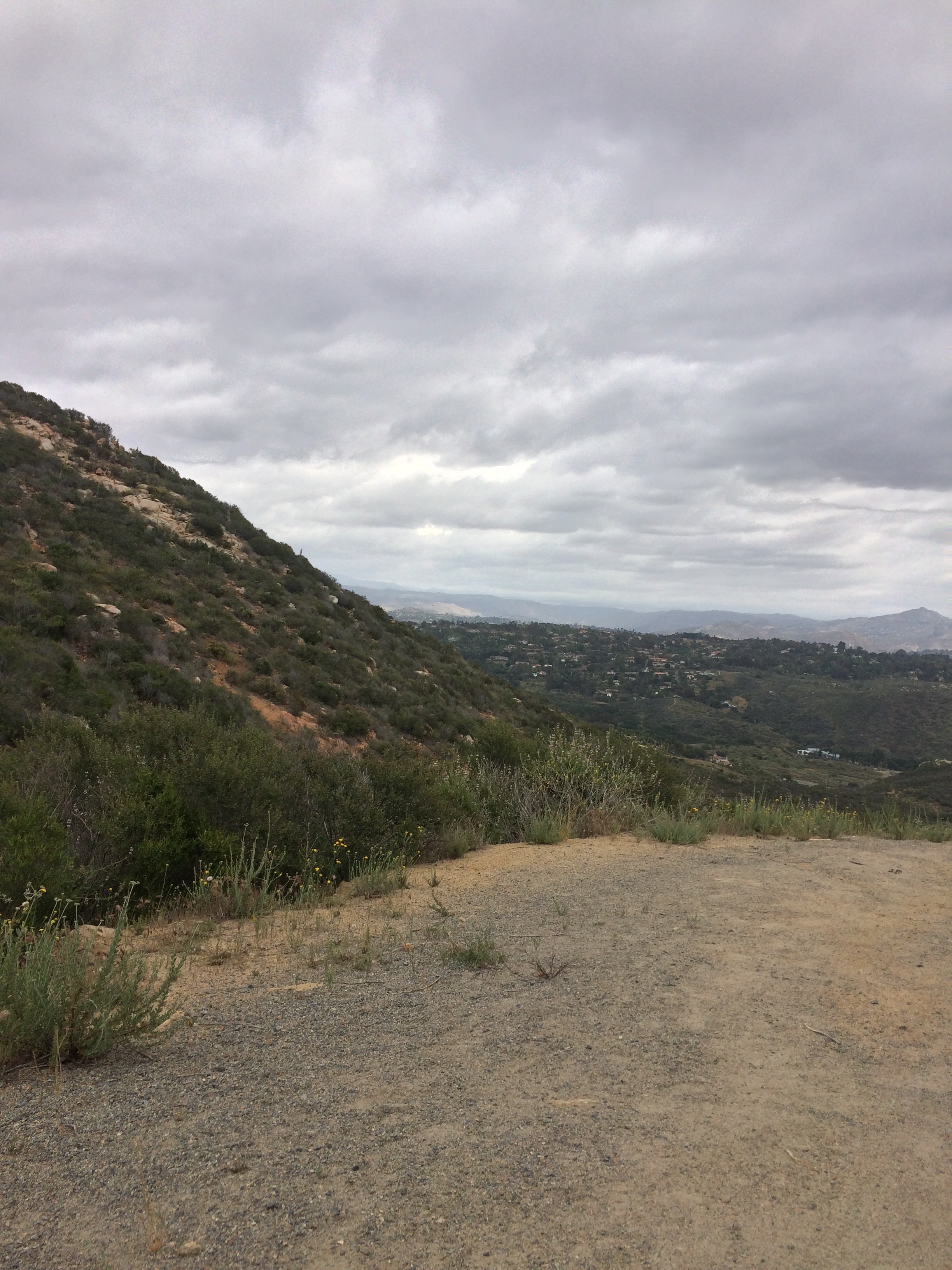
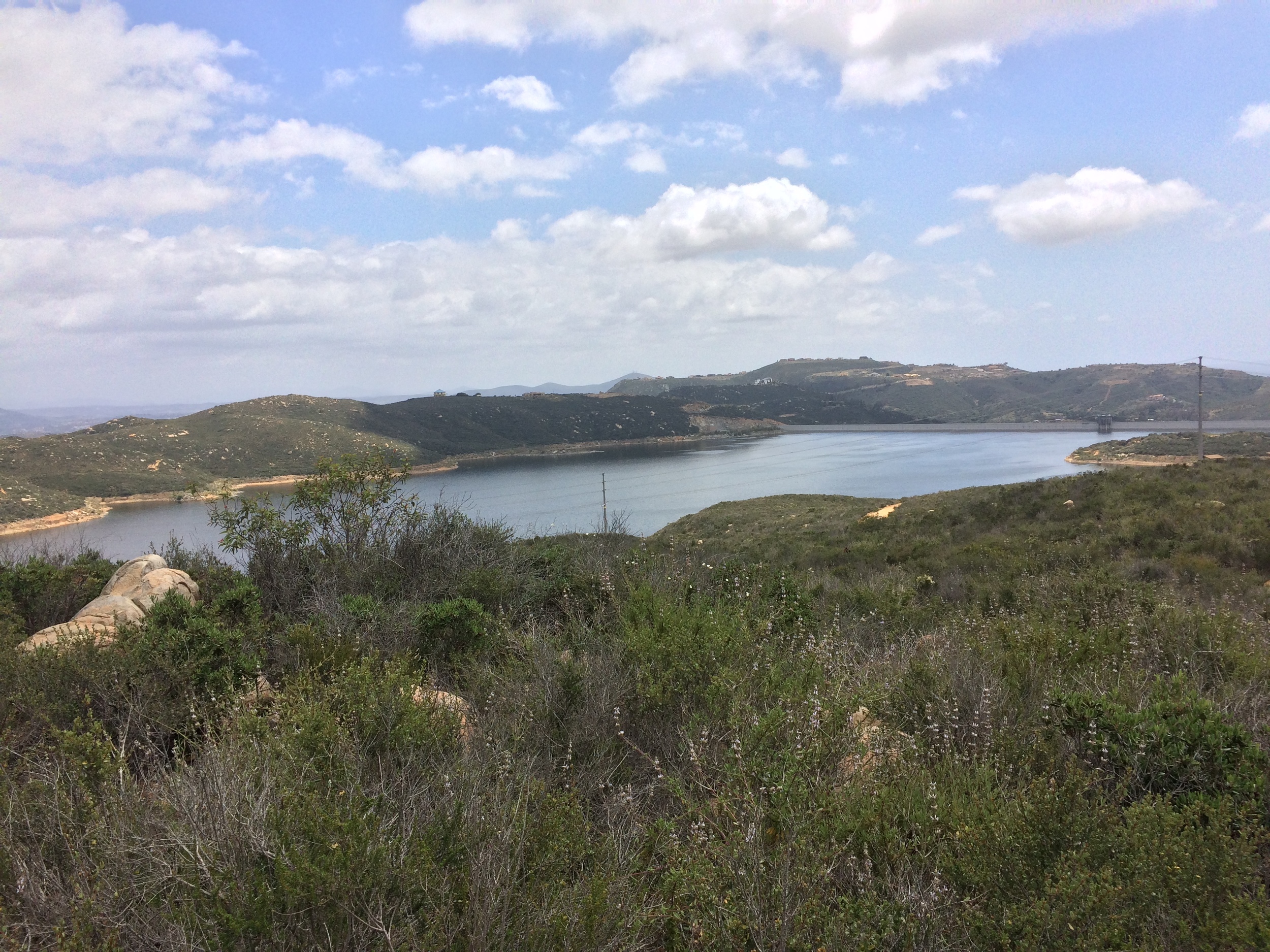
As the trail ascends, visitors are treated to increasingly better views of the Lake, before the trail levels out at the one mile mark, and begins to ascend the backside of the hill. From this point, visitors have great views of Escondido, the San Pasqual valley, and various other interior points. This section of trail, however, from one mile to the ultimate terminus at 1.5 miles is the steepest part of the trail. Overall, the elevation gain from the parking area to the end of the trail is 900 feet of gain, which provides a decent workout over the distance, no matter what sport one is attempting. At the end of the multiuse trail, visitors will be overlooking the second of two reservoirs along the hike; the first being Lake Hodges; the second, the Olivenhain Reservoir, which is not visible from Del Dios Highway below. At this point, visitors will have the option to turn around for a moderate three mile hike; or can continue on via connecting trails into the Elfin Forest Preserve for a longer, more challenging hike.
Tips: The multiuse trail has an interesting QR reader feature that people can use to tailor their workout, which is utilized by having a QR reader application on a smartphone. Various QR spots can be scanned from the base of the hike to the viewpoint at the top. Hikers or bikers should also be aware that the entirety of the route is exposed; and during the summer months, this is an area where temperatures regularly exceed 90 degrees. Correspondingly, visitors should plan accordingly with a sufficient amount of water and sun protection.