

That
title should actually read: “Current Conditions May 2013, Vivian Creek
Trailhead to San Gorgonio Summit to Jepson Peak”, but that’s way too long. Long time readers of this blog know that there are three mountains I
climb on a yearly basis – Mt. Whitney, San Gorgonio, and San Jacinto. The reason
I climb these mountains yearly? Well, number one, I don’t need a reason, and
number two, if I needed a reason, my reason is that I like mountaineering. But,
if I’m being serious, the truth of the matter is that they are the three
largest peaks closest to me, and I like to get out on the “larger” mountains.
While climbing these mountains never gets old for me no matter how many times I’ve
done it, what does get old is writing trip reports with the same or close to
the same trip conditions. With respect to Gorgonio, there’s not much I can tell
you right now that I haven’t already told you in past years trail reports (See
2012, 2010); and if you feel you really need more information on the mountain,
I suggest you read them.
One thing I did resolve this year regarding the trail is that the correct mileage for the Vivian Creek trail to the summit is indeed 9.3 miles one way, meaning that the total roundtrip distance is 18.6 miles. Many people (myself included) have wondered about this online, as there are a variety of distances listed (7.8, 8.0, etc.). But, I did speak to the Ranger at Forest Falls, and he assured me that the Forest Service distance listed – 9.3 – is the correct distance. At this point, I’m going to say that unless you have a verified GPS track that says otherwise, that is the correct distance, and let’s be done with this “debate”; and move on to the trail report!
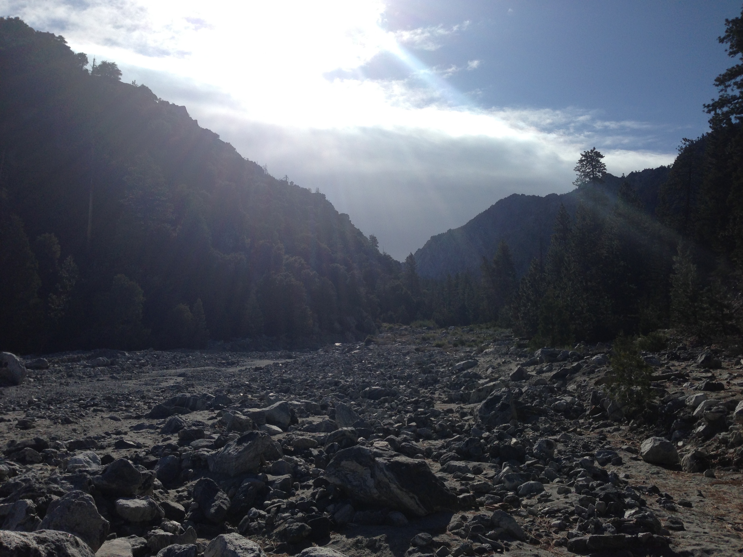
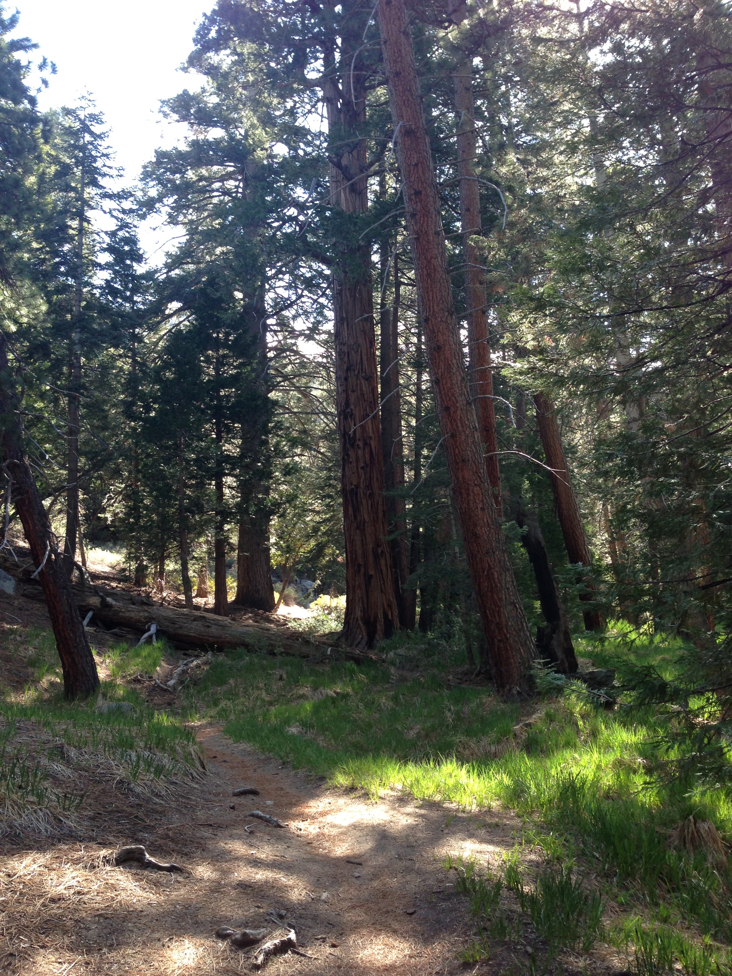
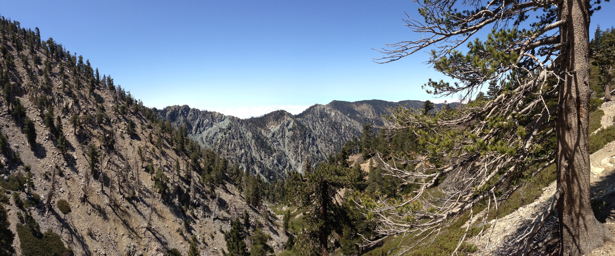
Current Conditions Vivian Creek Trail May 2013: On Friday, May 18, 2013, I made my yearly pilgrimage up to San Gorgonio. I arrived at the Forest Falls Ranger Station slightly before 8:00 p.m., and was the only person in line to get a day use permit, something that will change once summer begins. That morning, there were a few lingering clouds and drizzle, which was nice as it kept the temperature down, but is not something you should count on as the summer progresses. I got to the Forest Falls Parking area (Directions HERE) around 8:15 a.m., and was on the trail by 8:20 a.m. Now, for just the facts: the trail is clear from Vivian Creek to the Summit. There are no obstacles; and nothing out of the ordinary to report. Mill Creek, at the base of the trail is not flowing. I repeat: there is no water in Mill Creek. Up at Vivian Creek, atop the first set of switchbacks, there is minimal water flowing in the creek.
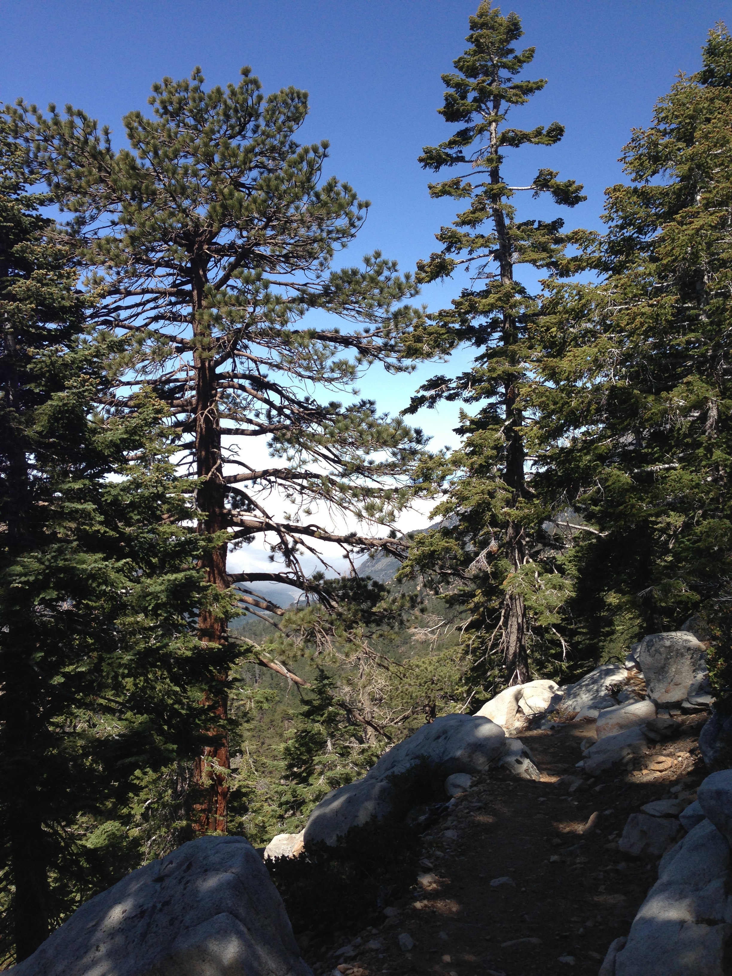
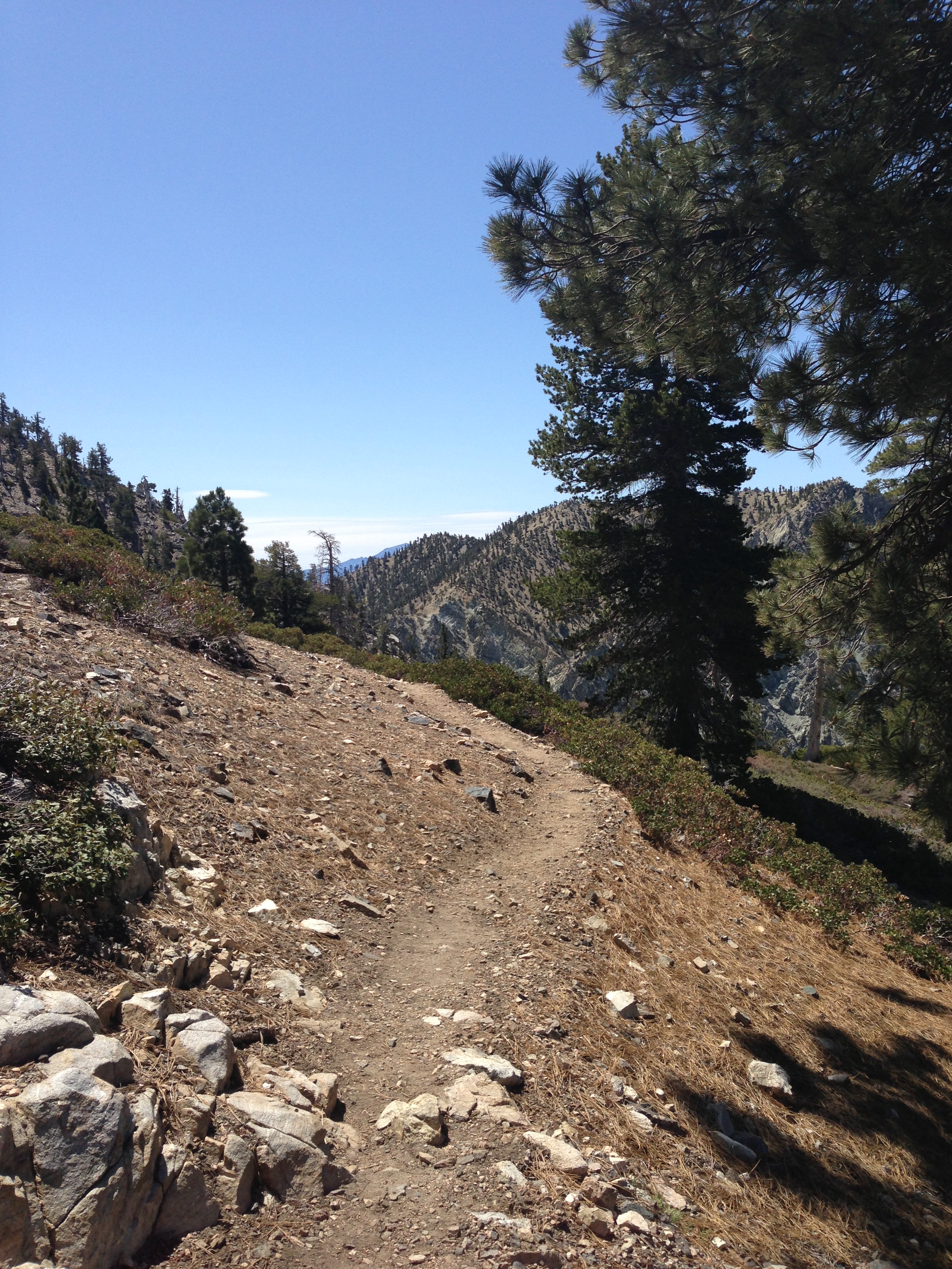
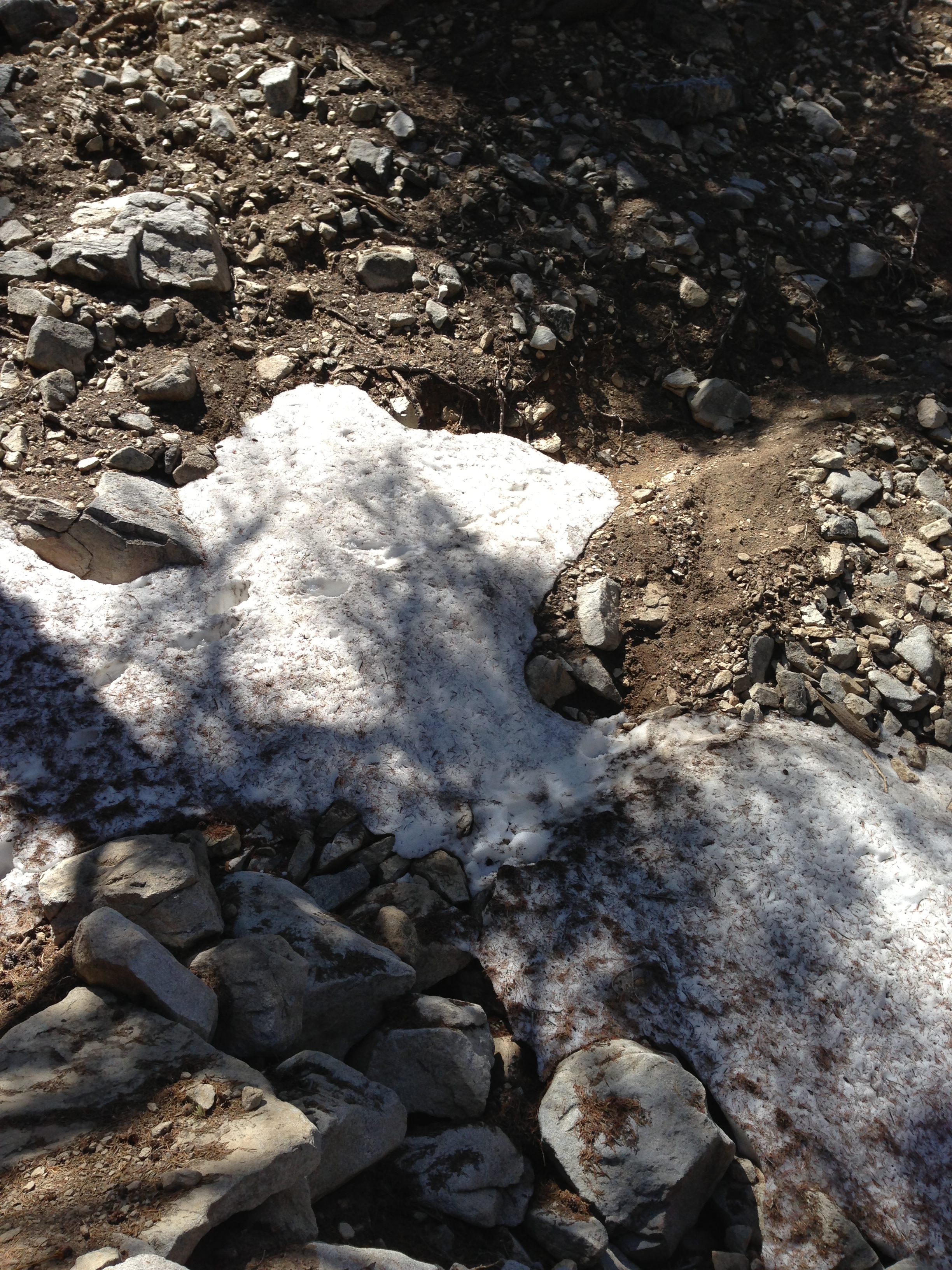
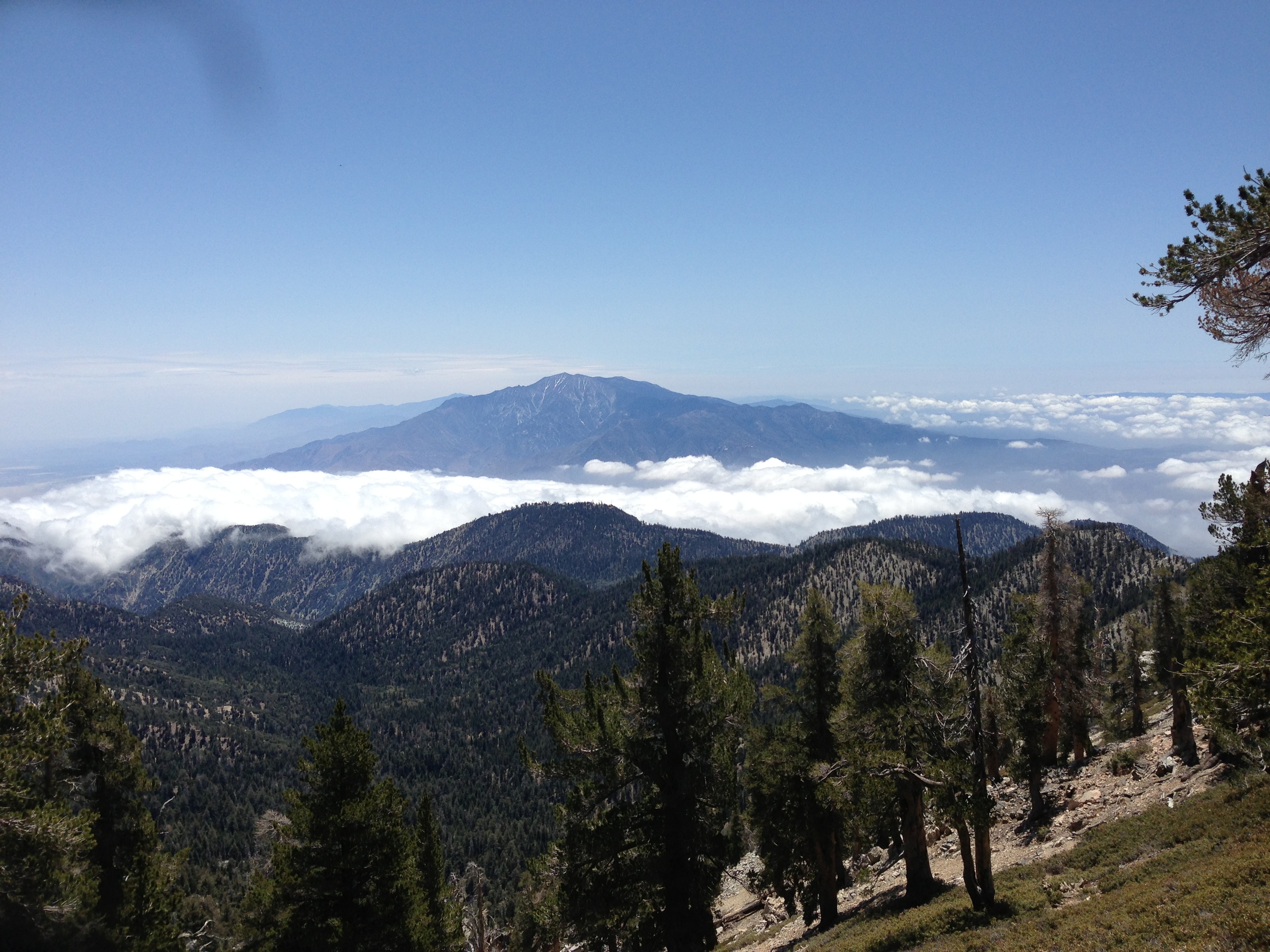
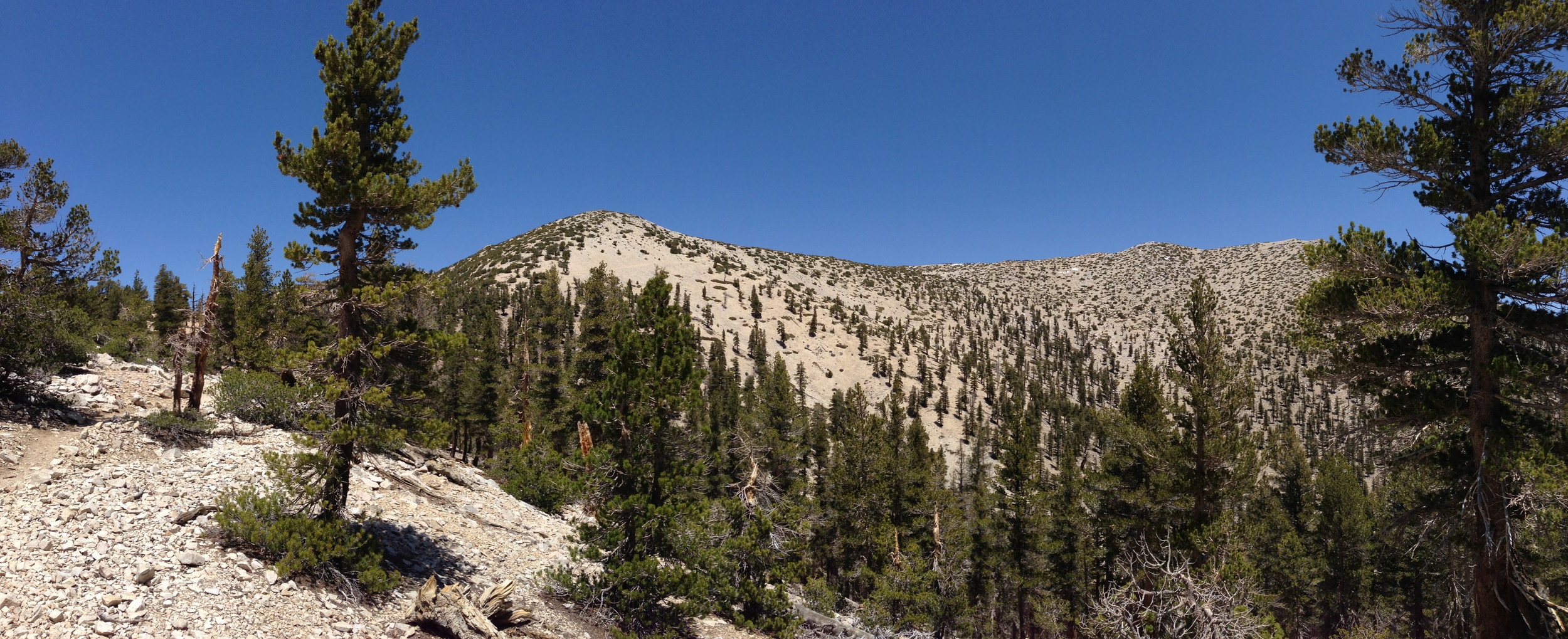
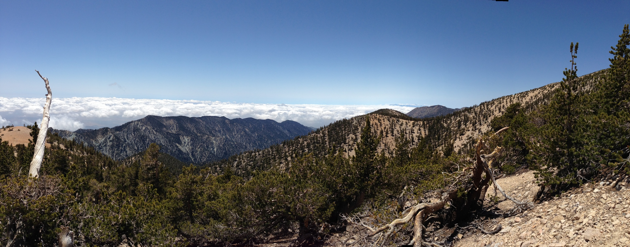
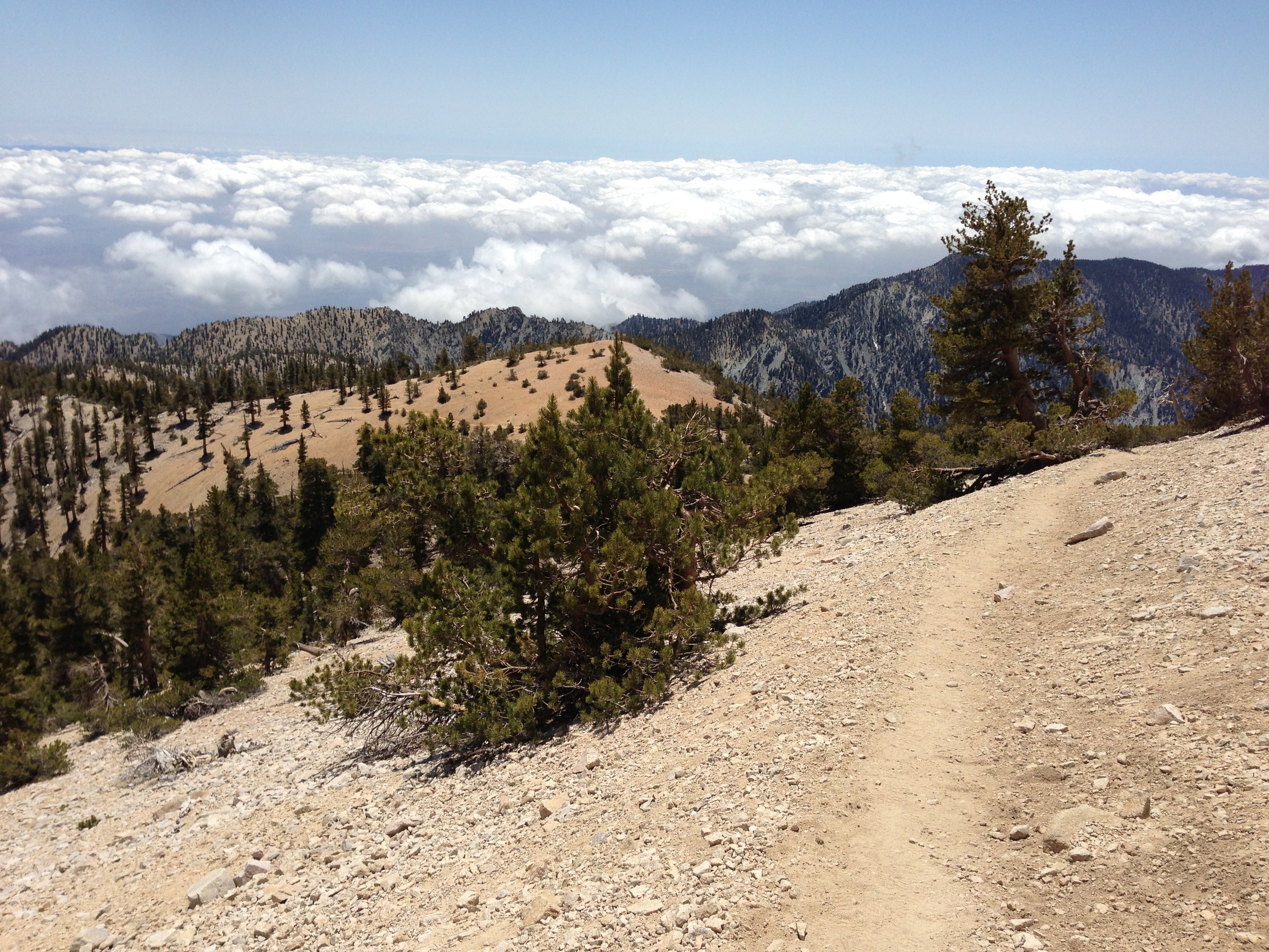
Further up the Vivian Creek drainage, in areas that usually have seasonal runoff, there is no water flowing, and again, I mean none. Similarly, up at High Creek Camp, I did not see much water flowing, and from what I heard from backpackers at the Camp, there was not much water to be had. This is something that is really unfortunate, and something that will not improve until late fall or winter. From High Creek Camp, there were a few minimal drifts of snow near the trail, which I am sure have melted by now, and again, there were a few minimal drifts of snow near (but not on the summit) that probably have melted by now. By the time I reached the summit, there was a fairly good breeze blowing – between 25mph – 35mph, with stronger intermittent gusts. As the base temperature near the summit (without the wind) was only around 30 degrees that day, I did not linger on the summit. As a bit of a bonus, I headed along the ridge back to Jepson Peak, which was 1.2 miles from the San Gorgonio summit, and the trail was clear in that direction as well.
2013 Hiking/Mountaineering Tips: The last two times I’ve been on Gorgonio, the wind has been fairly brutal from 9,500 feet on up, which is something you have to be prepared for even if you are a day hiker. Not having the right gear at that point can and will make or break your summit bid, so plan accordingly, even if it is hot down at Forest Falls. Also, like 2012, there is sparse water on the mountain at this point, so again, plan accordingly, and remember to have fun while climbing the mountain.