Telescope Peak
Telescope Peak, in my mind, is a hike full of contrasts. In 2002, I solo climbed Mt. Whitney in day at the end of May, and then got in my car and drove into Death Valley to camp at Mahogany Flat. At sunrise, I was up and on the Telescope Peak trail, and after a few hours of vigorous hiking, had summited Telescope, Bennett, and Rogers well before the day was half over. On that day, it felt like the trail positively flew away under my feet. Then again, I suppose anything after Mt. Whitney the day before would seem easy. However, on a subsequent trip to Telescope Peak, the stretch of trail from Arcane Meadows to the summit seemed to me to be the longest trail ever created. Two things are clear about the Telescope Peak trail: first, that it winds up and around to the 11,331 summit of Telescope Peak, which is the highest mountain in Death Valley National Park and the Panamint Range; and second, that it has stunning views of the surrounding terrain.
Directions: If you’re headed to Telescope Peak, you’re going to want to start from the trailhead at the Mahogany Flat Campground. Directions to Mahogany Flat are found here in my post covering Telescope’s neighboring peak, Rogers Peak: http://lastadventurer.com/last-adventurers-fieldnotes/2012/2/22/rogers-peak-death-valley-national-park.html.
From Mahogany Flat, the trailhead is readily apparent as it starts from the parking area adjacent to the campground. You will want to sign the logbook before starting on the trail, in order to let the National Park Service know where you are headed in case you have a problem for whatever reason. From the logbook, the trail heads up along the Eastern side of Rogers Peak. Alternatively, if you want to bag Rogers, Bennett, and Telescope in a day, you can start your hike by heading up the NPS access road described in my Rogers Peak post above, before meeting up again with the main Telescope Peak trail at Arcane Meadows. At this point, let’s discuss how the trail to Telescope Peak is: if you read the NPS account, and many of the links below, as well as others, the hike is described as “strenuous”, as you gain ~3000 feet in elevation to the summit from Mahogany Flat over the course of seven miles (7) one way.
To a certain extent, I agree: any fourteen mile round-trip hike at an elevation between 8,000-11,000 feet is not easy. But strenuous? I think this depends on your physical conditioning, and whether you are acclimatized. In my opinion, if you are hiking this trail in spring, fall, or summer, when there is no snow, it is a moderate hike. During these times, your biggest concerns will be two things: dehydration and acclimatization. I find the hike during these times to be very relaxing and a moderate hike. Yes, you are experiencing substantial elevation gain; but then again, you have a long distance to do so – seven miles each way. I think the elevation gain is by and large, very gradual over the distance involved, which in conditions with no snow, makes it moderate in my book. If there is snow – which if you are going in winter, you should be prepared for with the appropriate gear – ice axes and crampons – the hike is definitely strenuous – but at that point, it’s more of a climb than a hike.
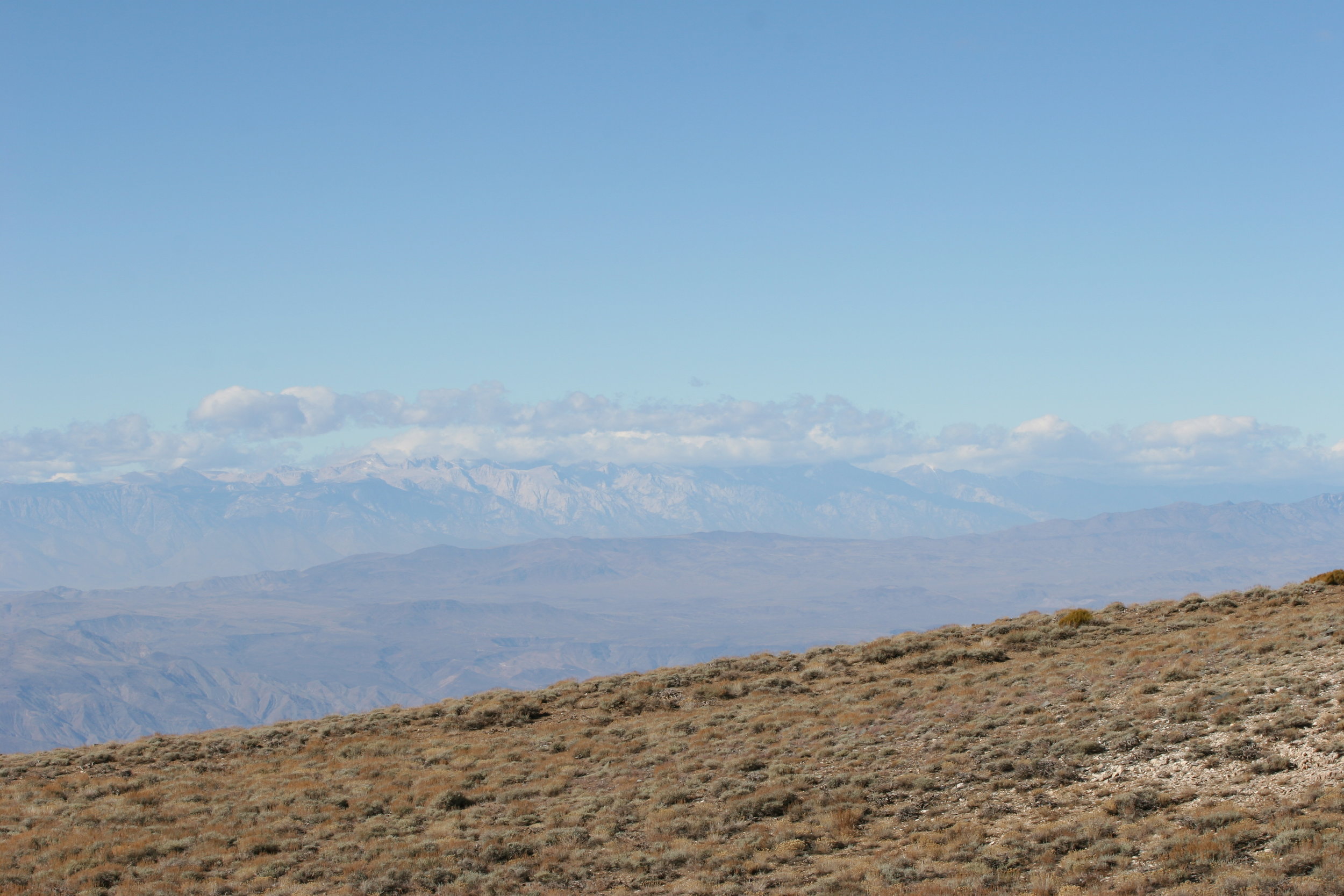
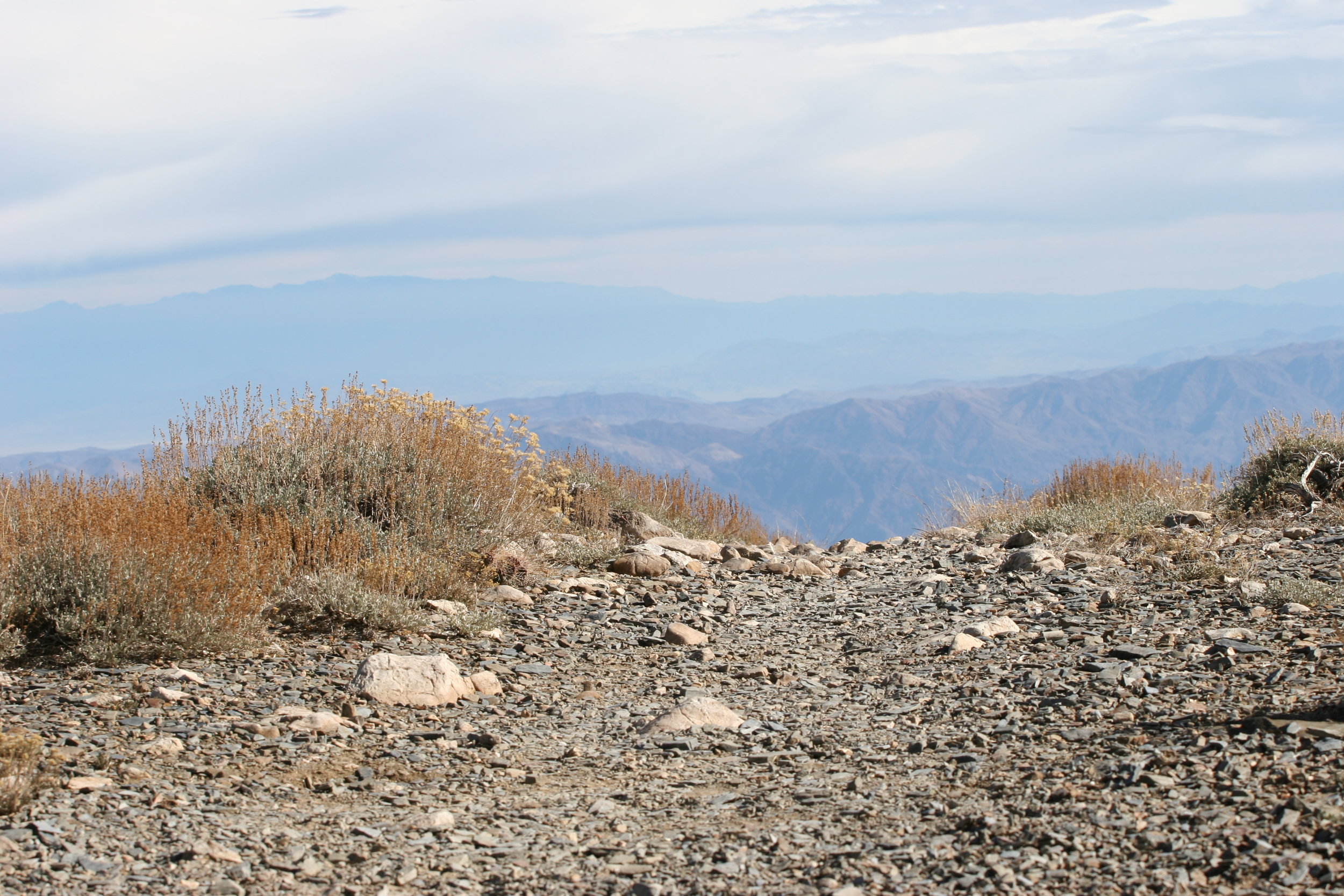
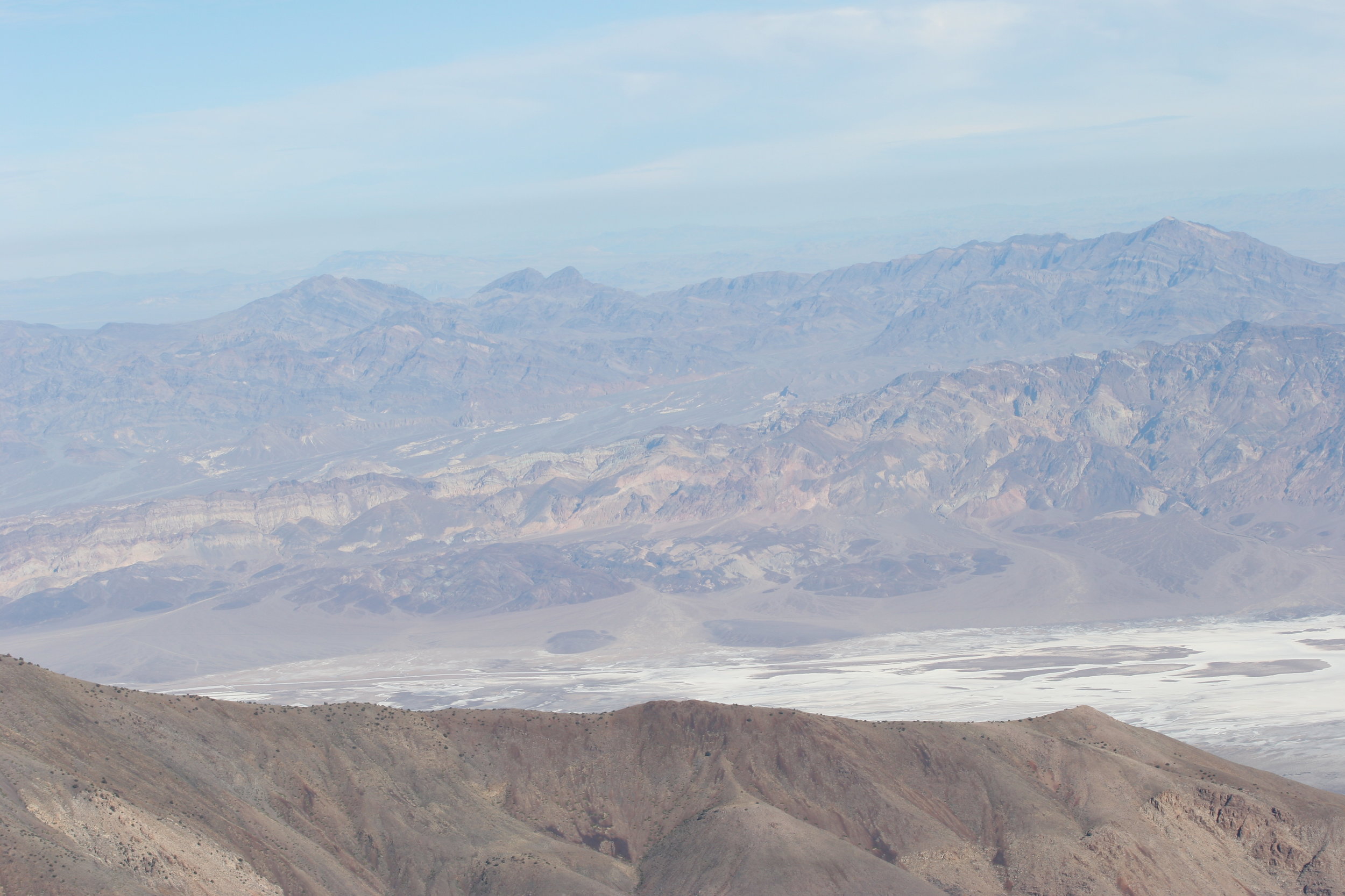
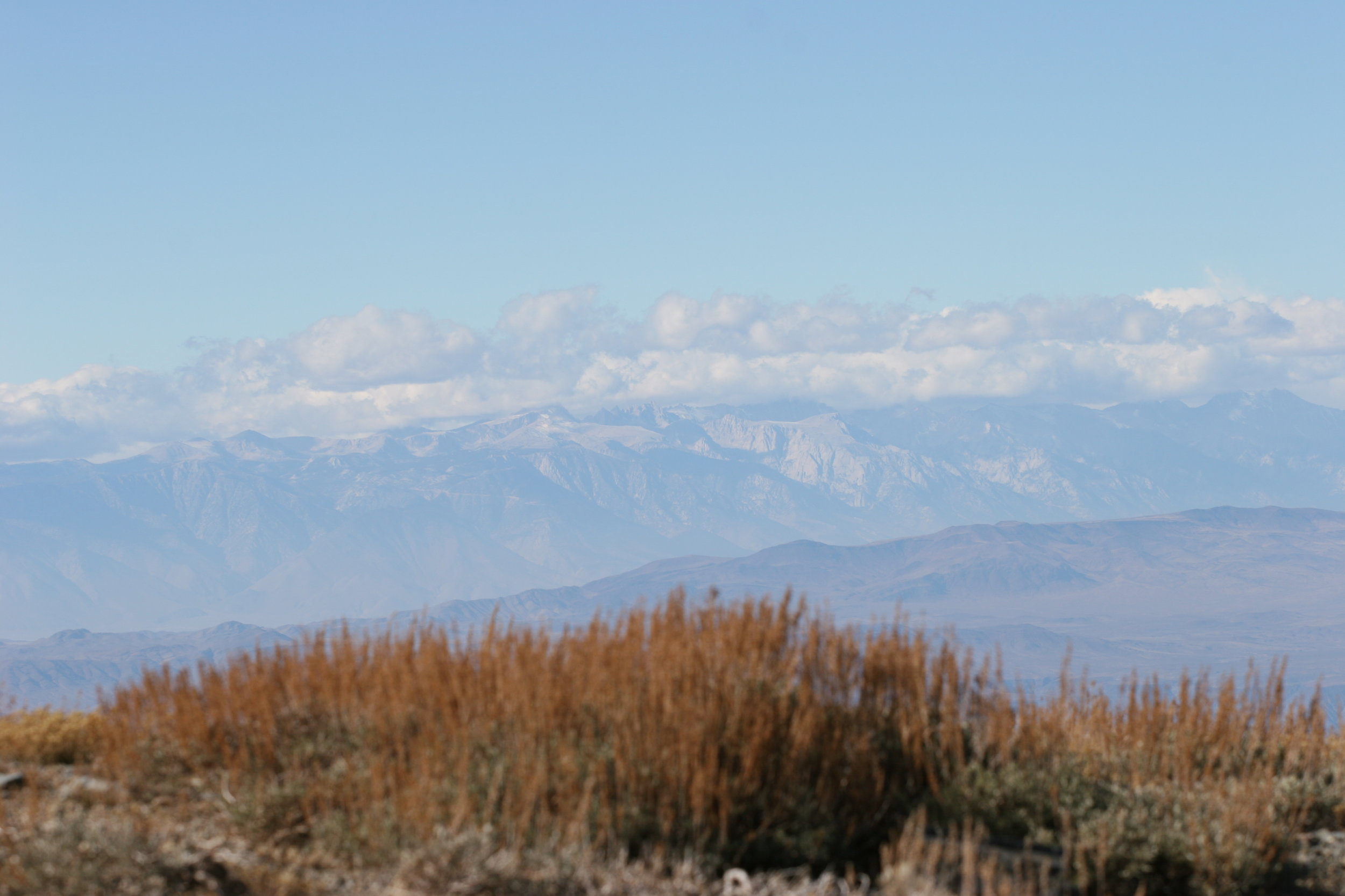
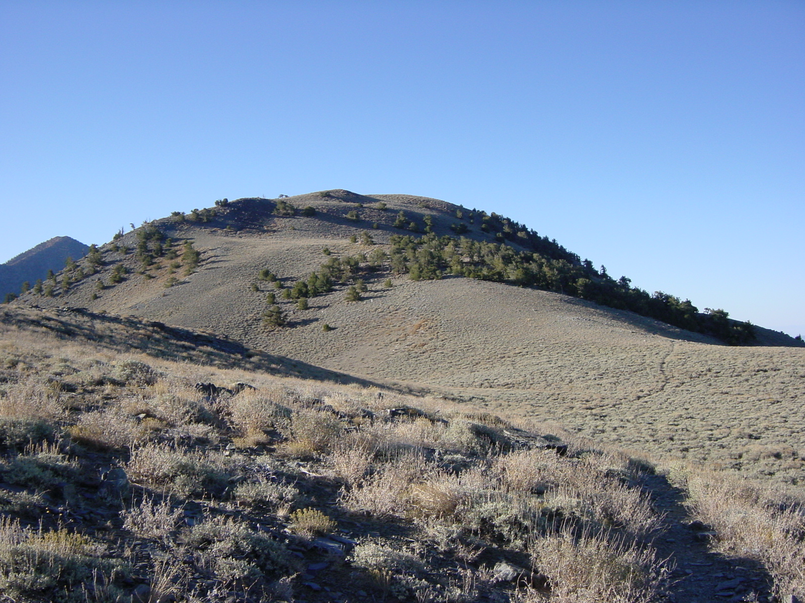
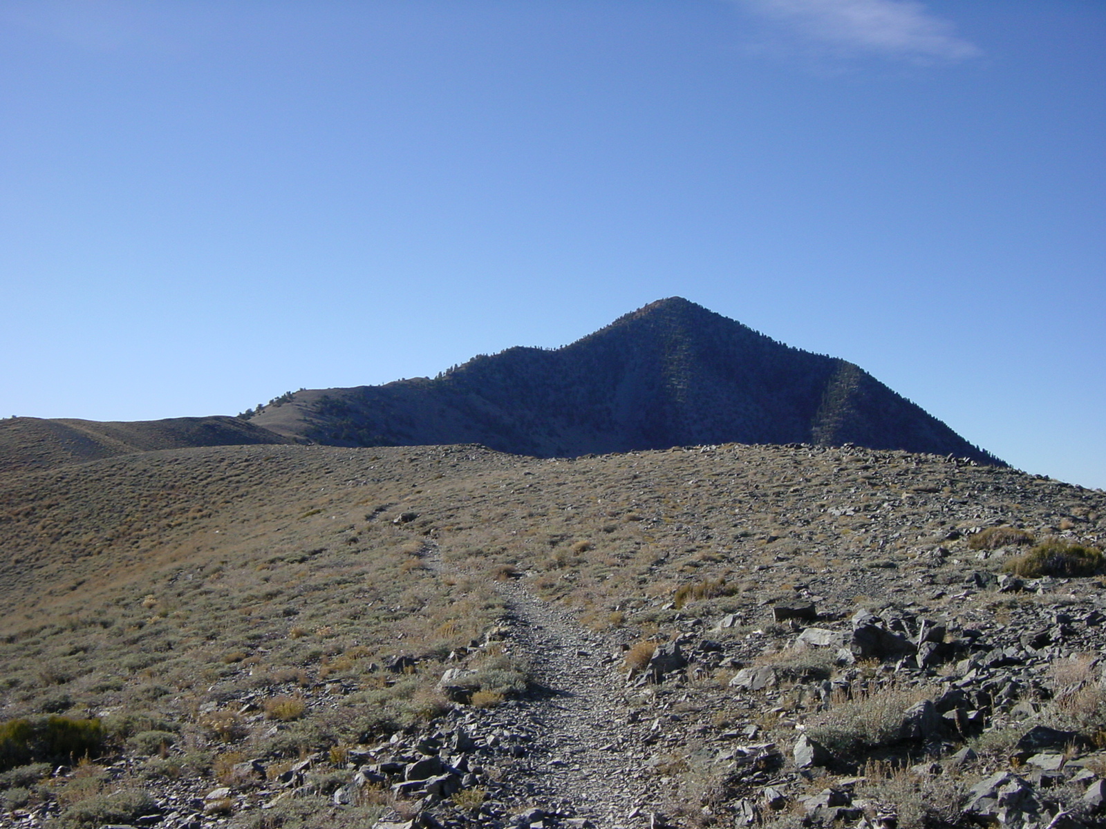
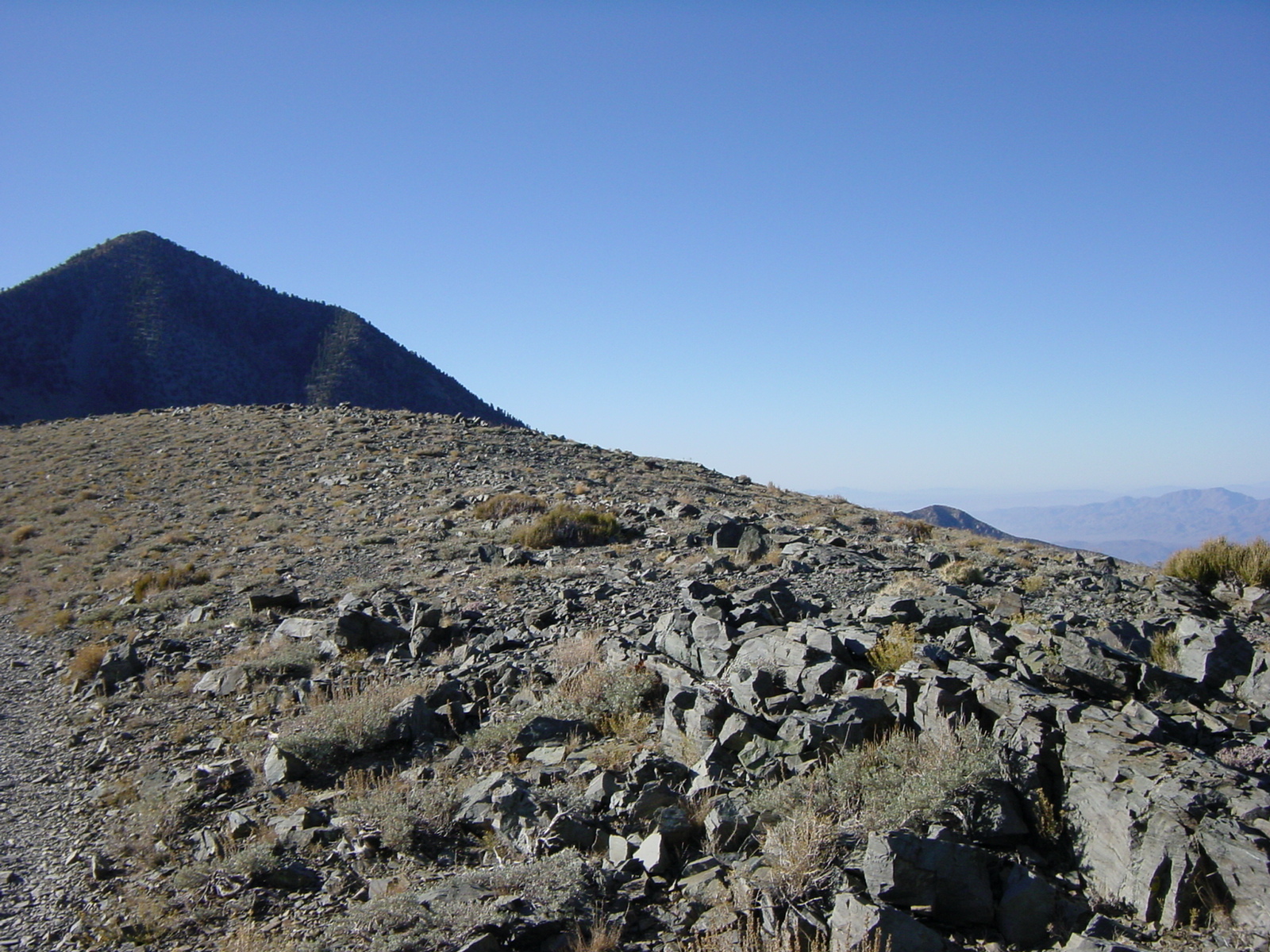
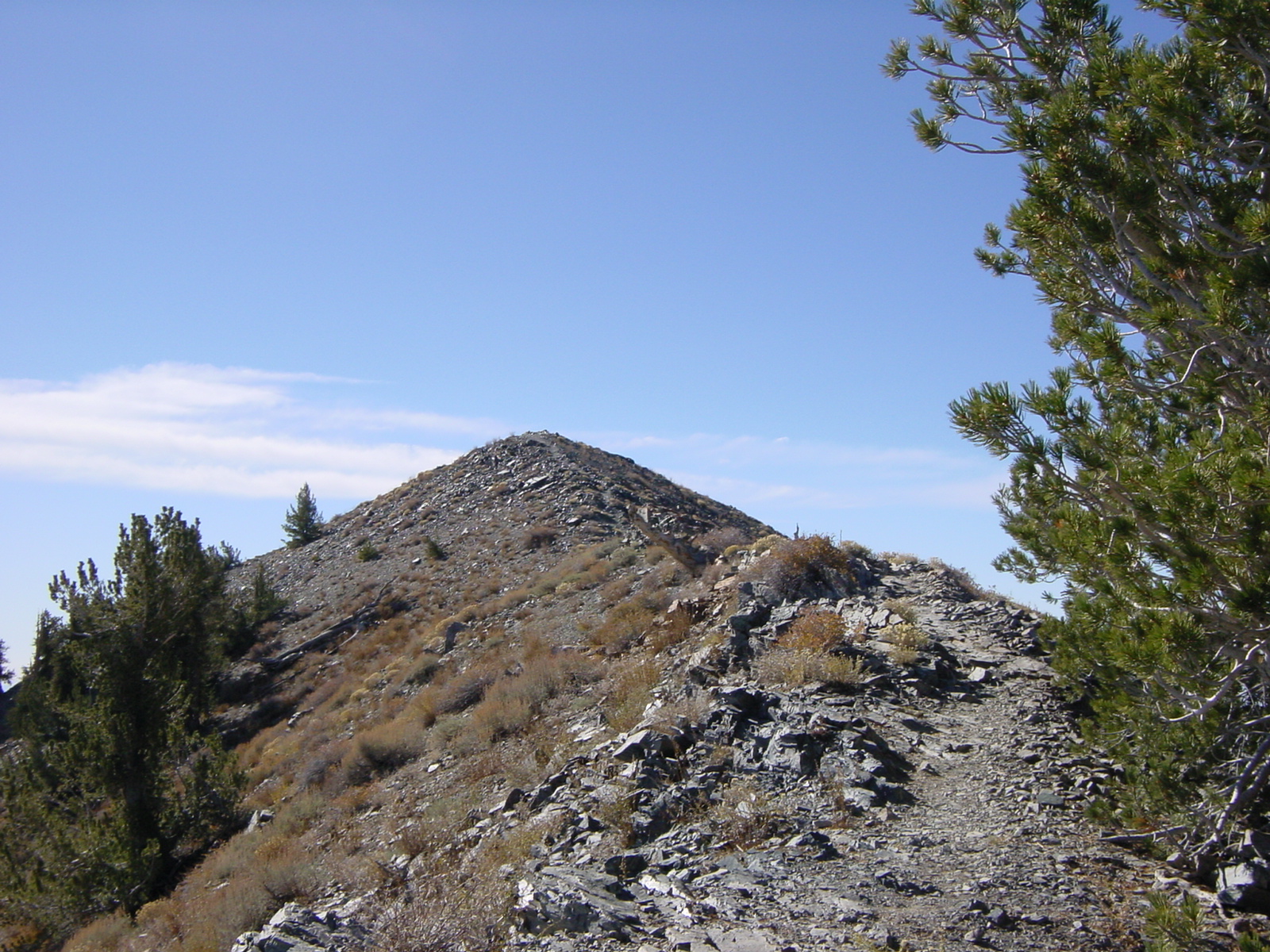
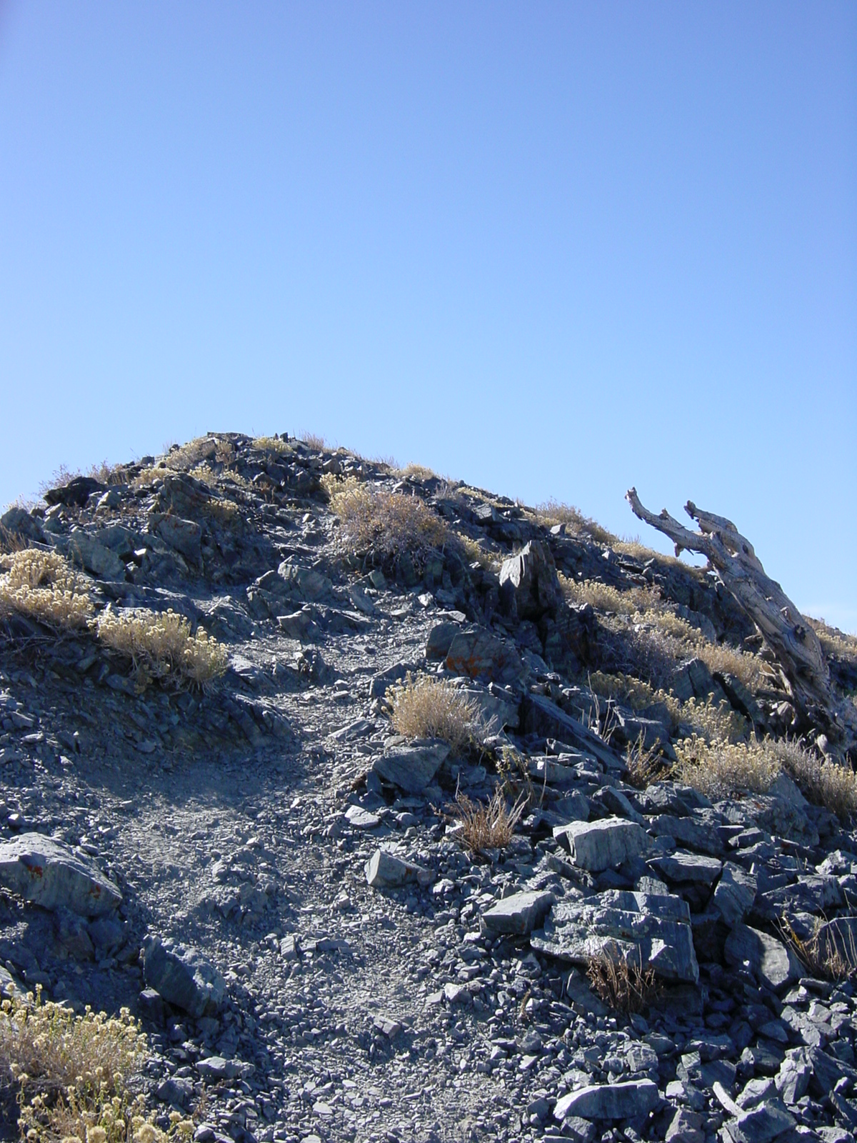
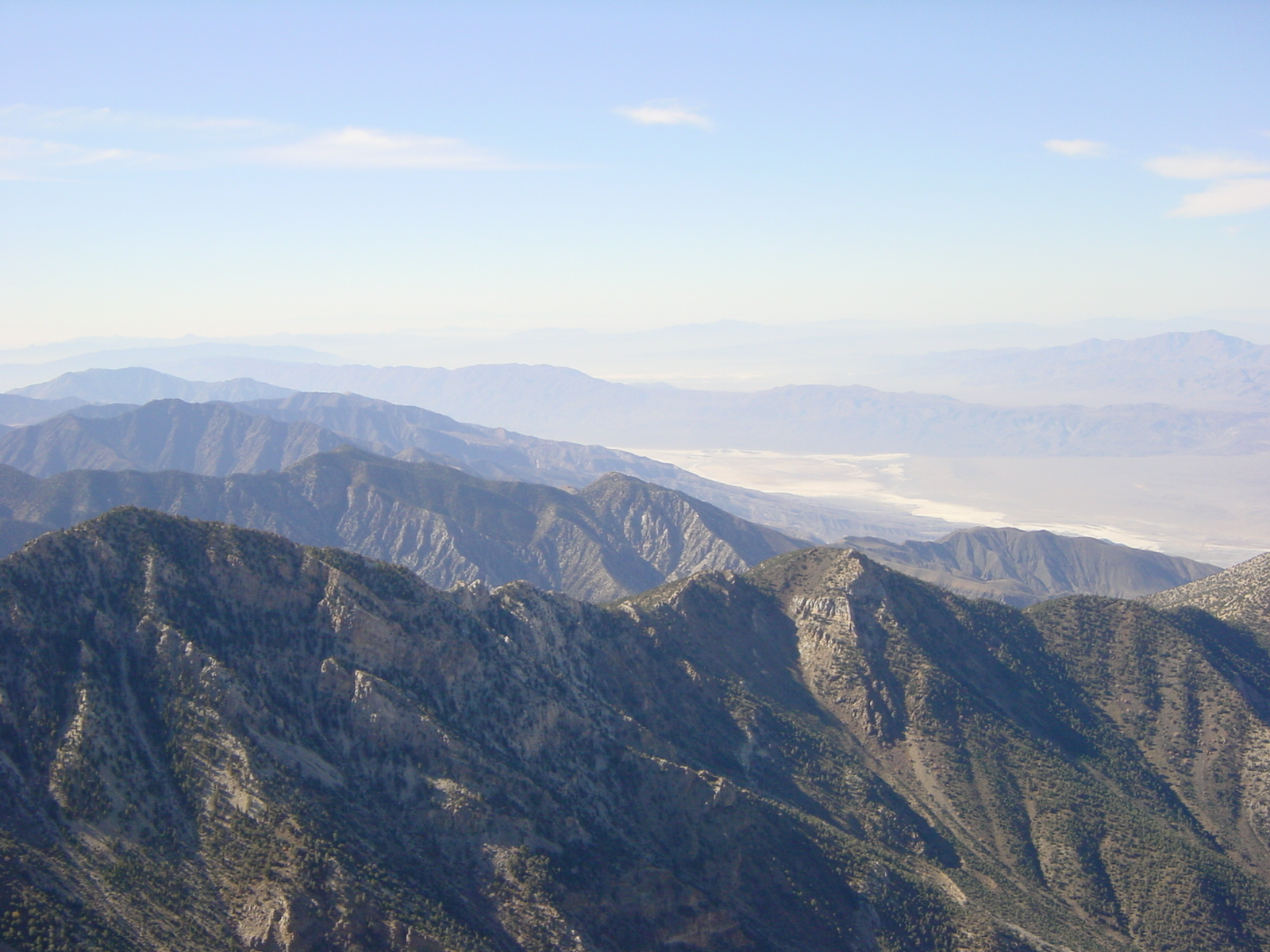
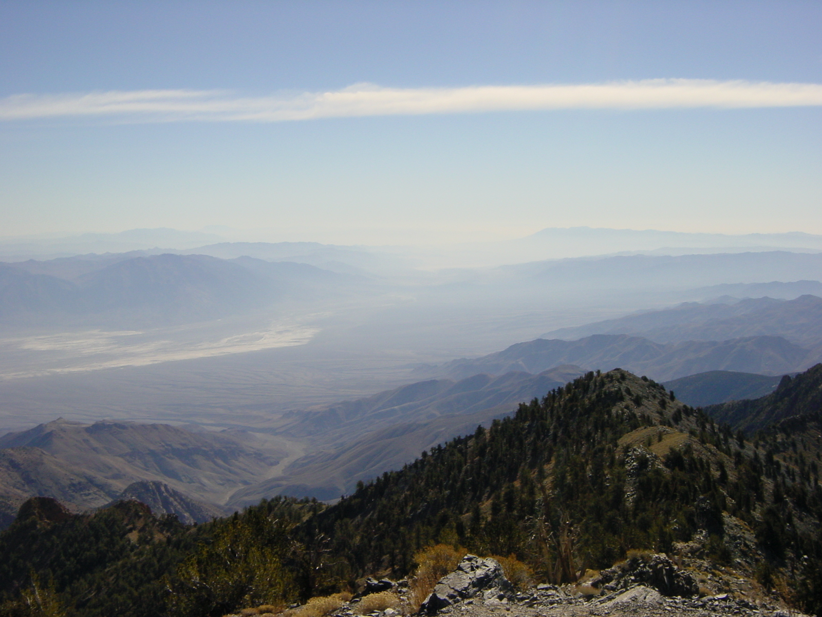
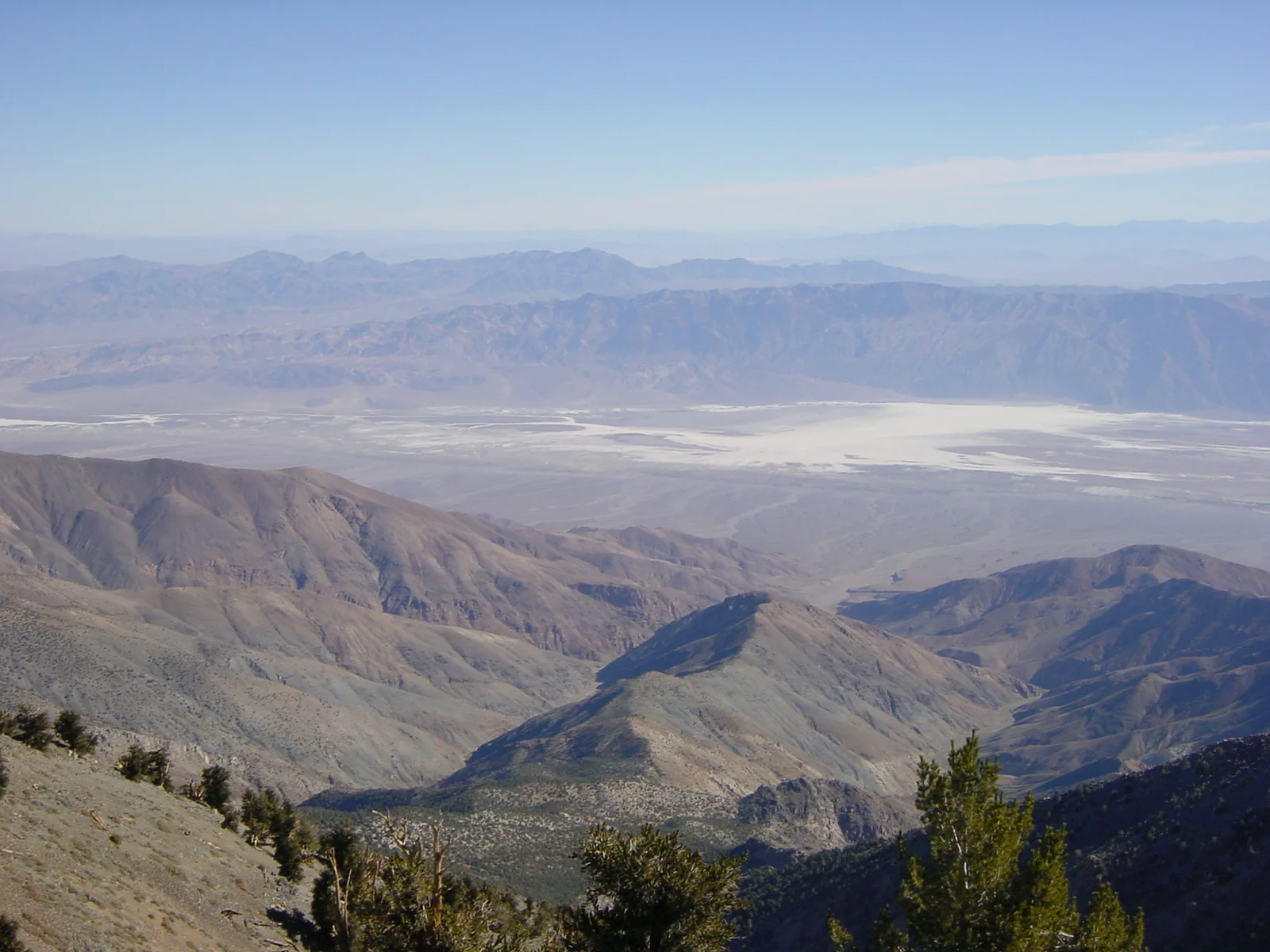
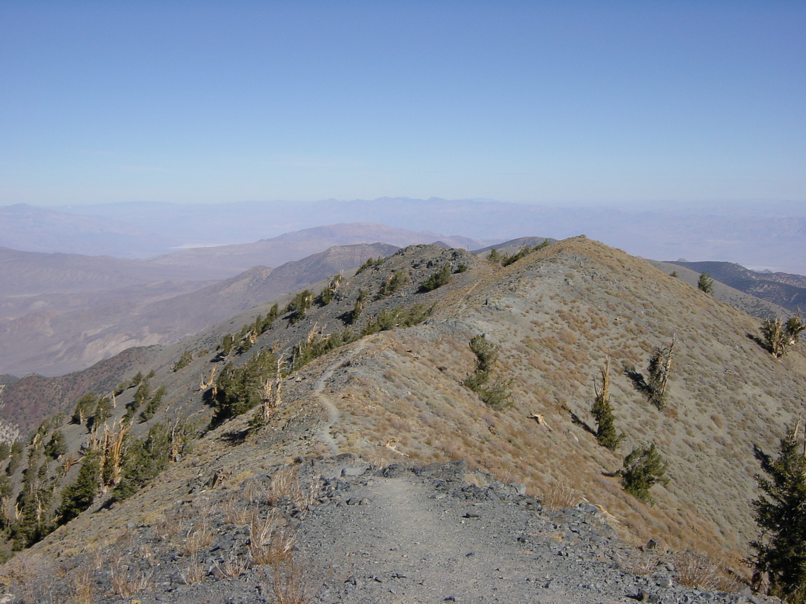
In any case, as you head up from Mahogany Flat, the trail is well marked, graded, and winds around up toward Arcane Meadows. During the last half mile before Arcane Meadows, you will be on a section of trail that drops off to the South. Through this stretch, I would recommend watching your footing on the shale rocks so as to avoid a nasty fall. After this section of trail, you will crest a slight rise and be in Arcane Meadows at9,263 feet; you will know you are in Arcane Meadows as it is nearly completely flat (the definition of a meadow), and there is a rock cairn built by former hikers next to the trail. From Arcane Meadows, the trail continues its slow-but-sure ascent up to the summit of Telescope while passing Bennett Peak. During this time, there are fantastic views to the West (of the Sierra Nevada) and to the East (of Death Valley proper). The last section of trail before the summit is the steepest; however, if you have made it this far, there is probably little doubt that you will make the summit. From the summit, there is an amazing three hundred and sixty degree view of the surrounding area; and on a clear day, to Charleston Peak by Las Vegas, and to the Sierra Nevadas to the North and West. Once you’re done taking in the view, you will head back down the way you came, unless you are traversing over Bennett and Rogers, as described in my previous post.
Tips: As discussed above, and in the post about Rogers, if you are heading out to attempt this hike or climb in winter, do take the proper gear, as there will be ice and snow. It is also worth noting that most, if not all of the hike is exposed after Arcane Meadows, and even in the summer, there can be strong gusting winds that can affect a hiker. And, while this is a great summer hike to beat the 114 degree heat of Death Valley proper, do take lots of water to avoid dehydration as it is quite dry, even at that elevation.
