Death Valley

What NOT to do in Death Valley National Park

Awww man - did they really - yeah, they drove out there.

Back in the day, when dinosaurs ruled the Earth, I worked for the Wilderness Division of the National Park Service at a National Park for a season. Years later, I worked for the Department of Parks and Recreation for the State of California for a season as well. Before that, when the geologic features of the planet were forming, I was an Eagle Scout who was involved with numerous leave no trace programs. And now, as a somewhat grizzled outdoors veteran, I am a liberal-tree-hugging-pinko-commie-granola-eating-birkenstock-wearing-anti-american-stinky-pants (or so certain parties will tell you). I am all for wilderness preservation and protection. I don’t think this is a secret, but if you didn’t realize this, now you know. (It wasn’t a secret). Sometimes, when I am on vacation, or just out for a stroll, I have to weigh in my head whether I should say something to my fellow visitors about what they are doing to our natural resources. I don’t want to ruin anyone’s time, but sometimes it’s good to say things to preserve things for other people – after all, everyone needs to work to protect the land for future generations.

 Since they were so smarts, they are stuck - stuck good.

In my defense, let me say that being an eco-vigilante isn’t all bad: I pick up trash that I find on the trail and pack it out; I provide directions to people that are lost, or may become lost, I discuss trail conditions, provide water and food, provide educational insights (when I know what I’m talking about), and in certain situations, provide first aid. After all, you can’t just protect the environment, you have to protect the people in it as well. In any case, what I’ve been talking about the last couple days is the myriad of things available to do in Death Valley. And, you know what – there’s many more that I haven’t even touched upon. But, there’s plenty of things you should not do, and this is one of them. If this isn’t the most egregious thing that you shouldn’t do in the park, it’s up there. I took these pictures in 2010 as I was leaving the park off of Badwater Road. In case you haven’t been there, the road is lined with a plethora of signs along the hardpan that say, “No Offroading”. I saw this when I was I was driving along when I saw something out on the hardpan. It was one of those moments where I stared and said, “Nahhhh, it couldn’t be, no one’s that stupid”, before I blinked and realized that it was still there.

Since I’m a curious guy, I parked and walked out to the stuck vehicle. The perpetrators? Well, they were long gone, which is good for them, because this eco-vigilante would have definitely not held back had he found them. Their vehicle? Well, you can see what happened to it. It was stuck – and stuck good. I don’t know if the National Park Service ever found the culprits – but then again, since they were crack lawbreakers, and so smarts, they left the plates on their car before they fled. Thererfore, let me advise you of what not to do in Death Valley: if the sign says no off-roading, don’t do it. Just don’t. It’s hard on the environment; there’s plenty of other places you can off-road legally, and chances are, you’re going to end up looking like the dumbasses you are when you get stuck, caught, and have to abandon your vehicle. Final analysis: Death Valley – lots of things to do, but don’t do this, unless you’re a complete failure. 

 Only one thing that can really be said here: Death Valley Driving Fail

The Salt/Saline Pools of the Devil’s Golf Course

The Salt/Saline Pools of the Devil’s Golf Course

The Devil's Golf Course is an area of Death Valley that is close to Badwater. While it is not quite as far below sea level as Badwater, this is an area that is also below sea level. But like Badwater, it shares a common geologic past. Over twenty thousand years ago, the valley floor of Death Valley was not barren and desolate - but instead was covered with water - a large body of water known to geologists and historians as Lake Manly. Lake Manly was full of minerals from the surrounding terrain; and over the course of time, as it evaporated, it left those minerals - and sedimentary rocks behind. Today, what remains are salt crystals from the bottom of the lake - and borax crystal formations. These crystals have grown into an extensive – and hard network of structures. As you can see from the pictures above, the crystal formations have covered the area in a network of sharp formations that are between one to two feet high and are close together. As the area is difficult to traverse on foot, one can only imagine the difficulty one would have attempting to play any sort of golf game (hence the name). While the crystals are spectacular, where myth and fact meet are with the secret pools of water that remain interspersed among the formations.

Salt Creek Interpretive Trail

Salt Creek Interpretive Trail

If you’re like me, and you spent any amount of time in California in the 1990’s, chances are you saw two bumper stickers: “Keep Tahoe Blue”; or “Save the Pupfish”. Sadly, I don’t see as many Pupfish bumper stickers today as I used to, but perhaps that’s because most people don’t know where the pupfish are or what they are. There’s no reason to despair though – a visit to the Salt Creek Interpretive Trail will clear up the salient facts about Pupfish, but may provide you with other mysteries of the science fiction variety.

Golden Canyon to Zabriskie Point

Golden Canyon to Zabriskie Point

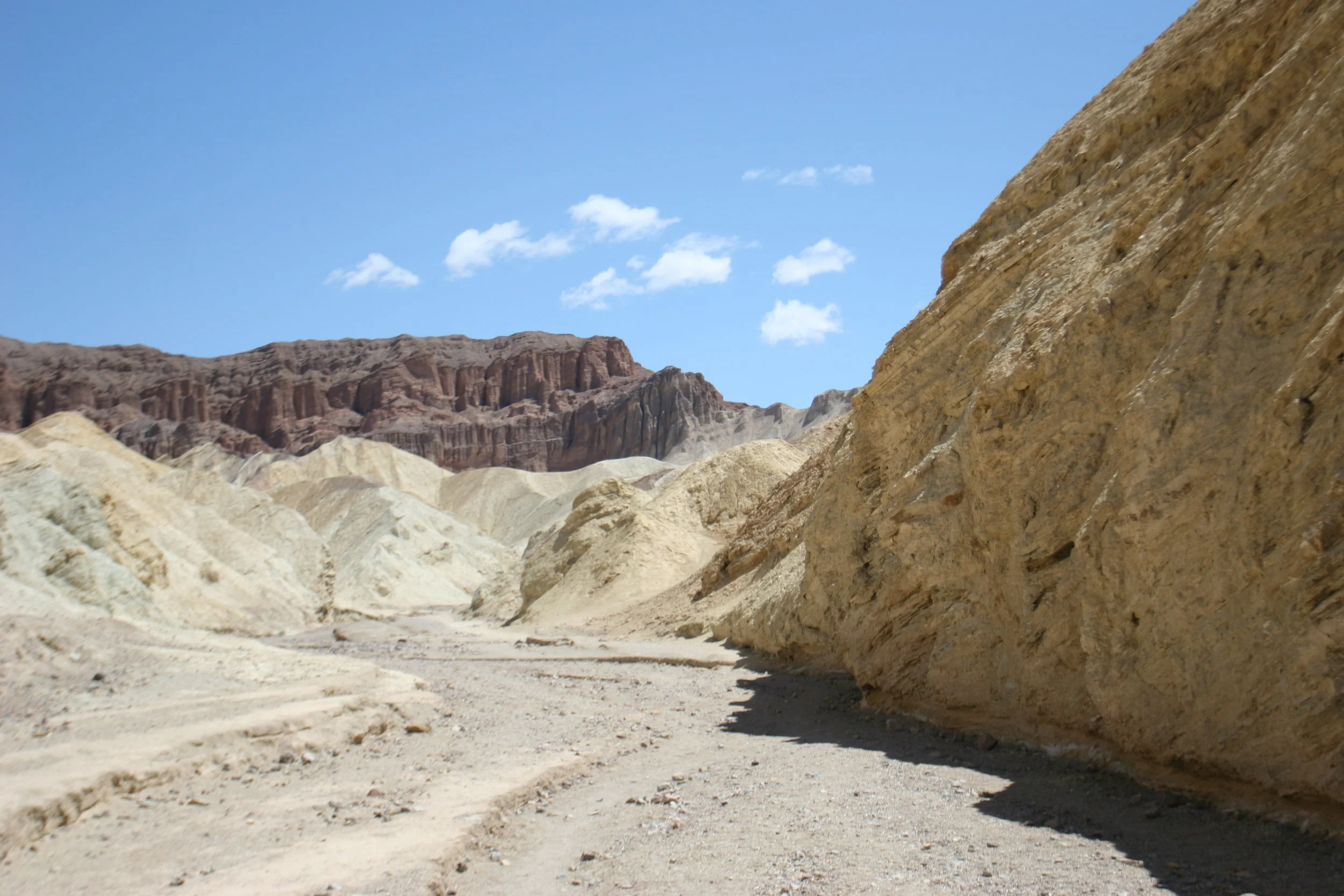
There’s a lot of hikes in the National Park system that get a lot of press as the “best hikes”. And, when I say “press”, I am not just talking about articles written by journalists and bloggers. I am talking about word-of-mouth hikes that are discussed between hikers and non-hikers; discussions that percolate world-wide about places that should be seen or, in some cases, depending on who is talking, have to be seen. A lot of these hikes deserve the reputation and the discussion that they get; and a lot of these hikes don’t deserve the reputation that they get. I’m not going to weigh in about which hike deserves what as it’s a matter of personal opinion in my book. What I will say, is that the best secret hike in the National Park system is the hike(s) I’m talking about here and last week: Golden Canyon.

Golden Canyon to Red Cathedral

Golden Canyon to Red Cathedral

 It should surprise no one that I am a child of the latter half of the twentieth century. As one, I listened to a lot of one-hit wonders. Now that I’ve made myself sound like my father: “You know what was great in 1962? Wilt Chamberlain”, I’ll get to the point. The point is this – in 1997, there was this song. It started with a little high hat, and then it had a repetitive five chord introduction, and since that could be any song, I’ll tell you what it was: it was Smashmouth’s Walkin’ on the Sun. I’m not sure what’s more embarrassing; that I’ve had this long lead in about how I used to listen to Smashmouth, or that whenever I think of the song, Walkin’on the Sun, I can’t even get the lyrics right, and I always think the lyrics are “You might as well be walking on the moon”.But let’s be honest here – sun, moon – who’s keeping score? Whenever I go to Golden Canyon, this is the song I think of because I associate it with being on the moon (not sun), and that lunar type of terrain is exactly what you will see from the moment you enter Golden Canyon.

Scotty's Castle

Scotty's Castle

There are three great historic mansions in California that are full of ghosts. There’s the Winchester House, which is full of actual ghosts. Then there’s the Hearst Castle, which is full of the ghosts of history, old Hollywood, print news, and dare I say it, Rosebud. Last, but not least, there’s Scotty’s Castle, which is full of ghosts of old stories. Out of the three, Scotty’s Castle is the most remote, as it is in the far Northern corner of Death Valley National Park, miles and miles away from cities, towns, and civilization. Despite its remote location, Scotty’s Castle holds its own as one of the big three, and depending on your perspective, may even be the most interesting, beautiful, and compelling.

Ubehebe Crater

Ubehebe Crater

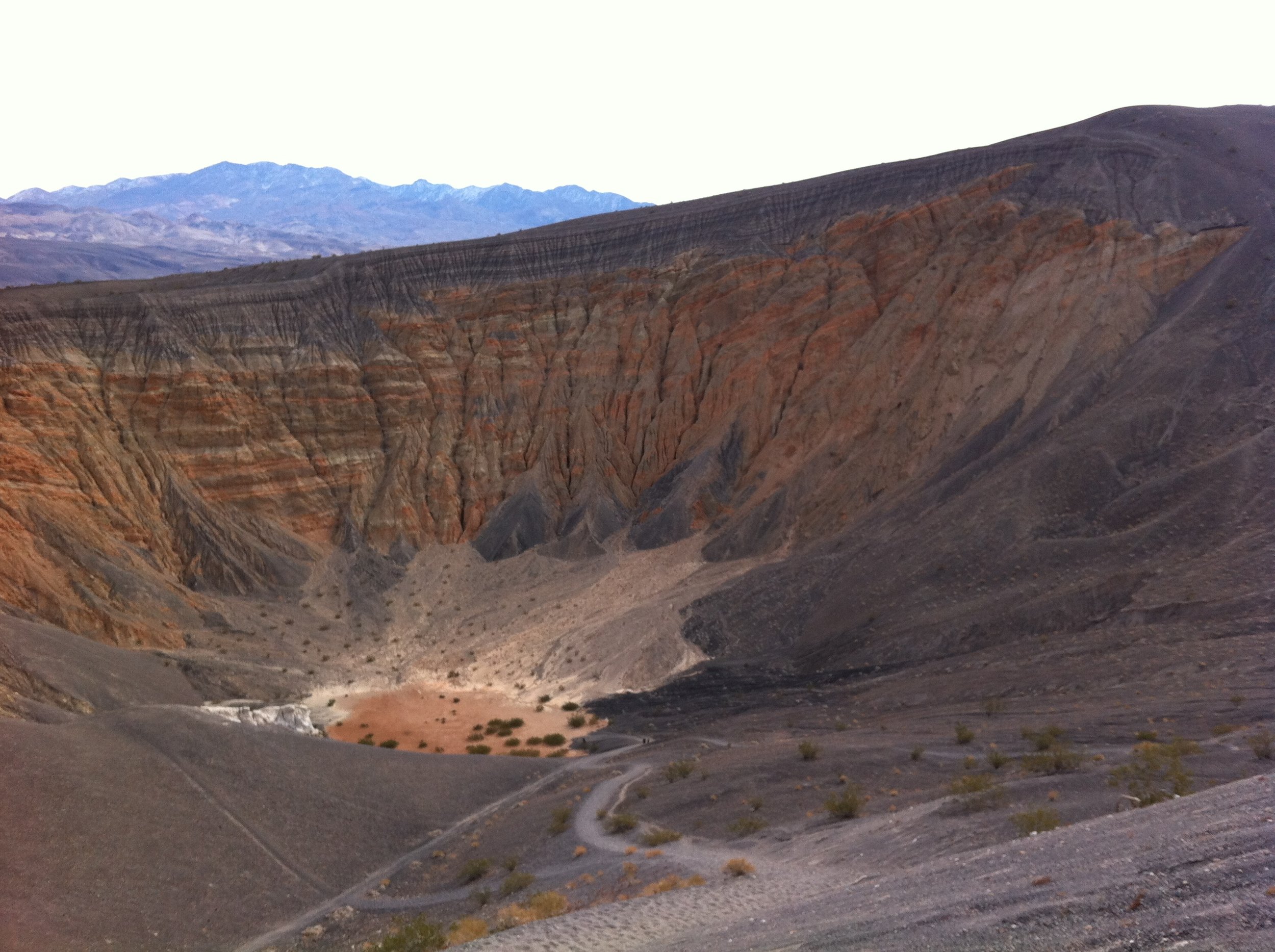
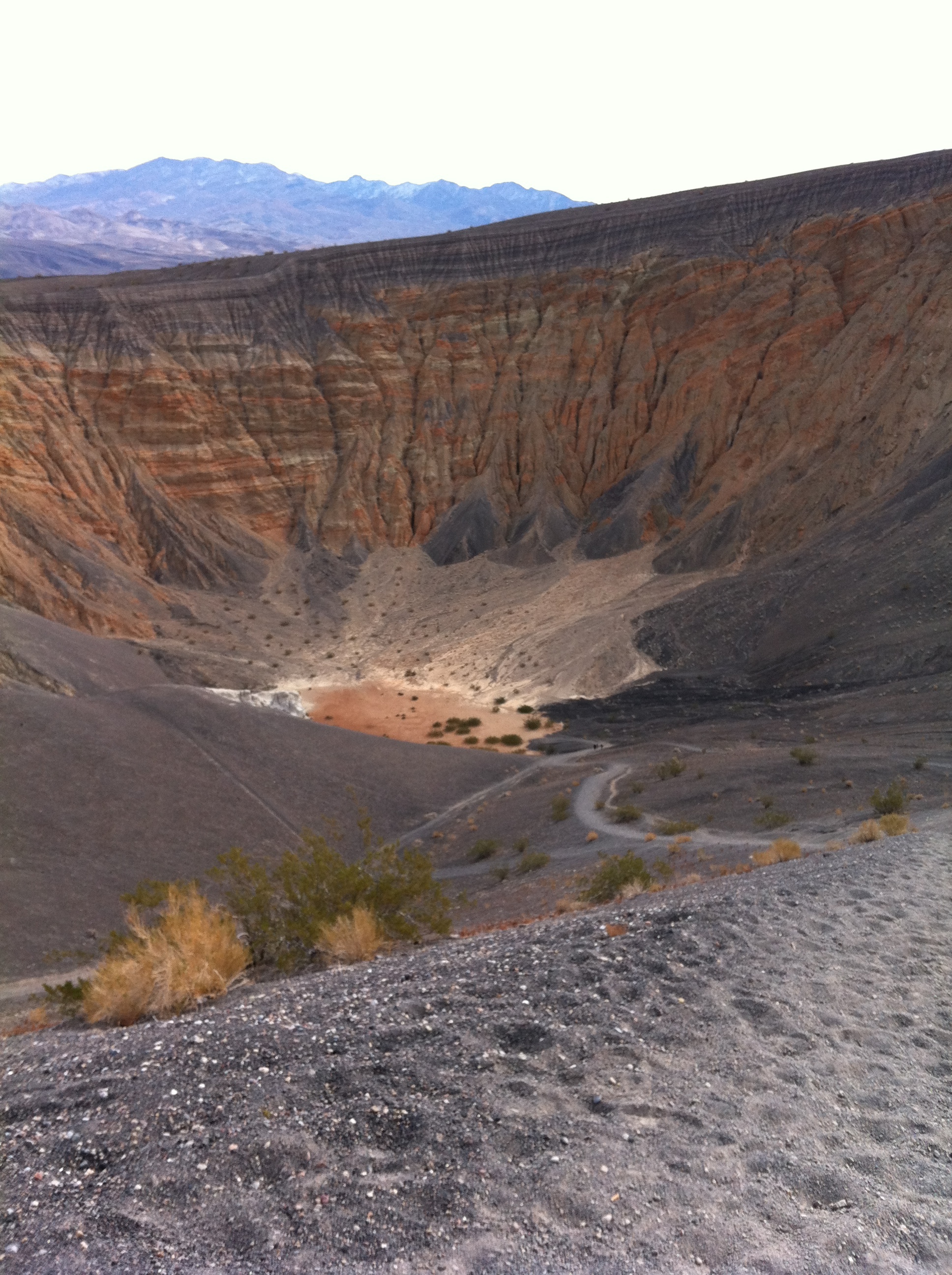
In my opinion, there are two types of people in the world: those that will walk down into a potentially active volcanic crater, and those that will not climb down into a potentially active volcanic crater, and instead, prefer to watch the first group from the volcanic crater’s rim. I suppose I’d be even willing to say that there’s even a third class of people, those that want to be nowhere near a potentially active volcanic crater, but they’re probably not reading this article, except as a cautionary tale of what to stay away from, so we won’t worry about them today. If you’re a member of one of the first two classes of people, and you’re in Death Valley, you’re in luck: the Ubehebe Crater is available for those who like to stand on the rim and watch, and it is available for those who like to hike. And, if you are of that third class of people that avoids volcanoes, now you know not to go to the northern portion of Death Valley National Park.

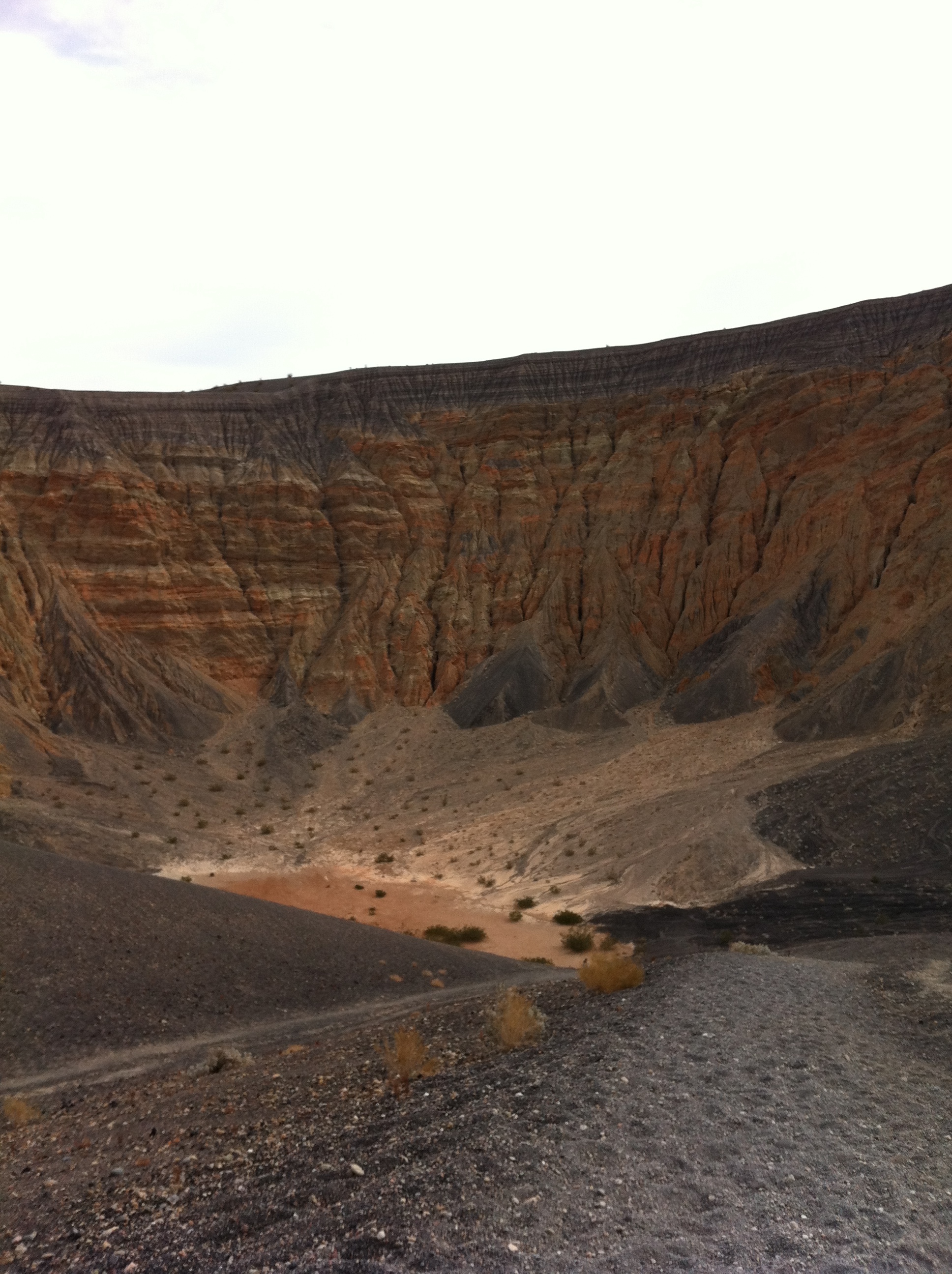
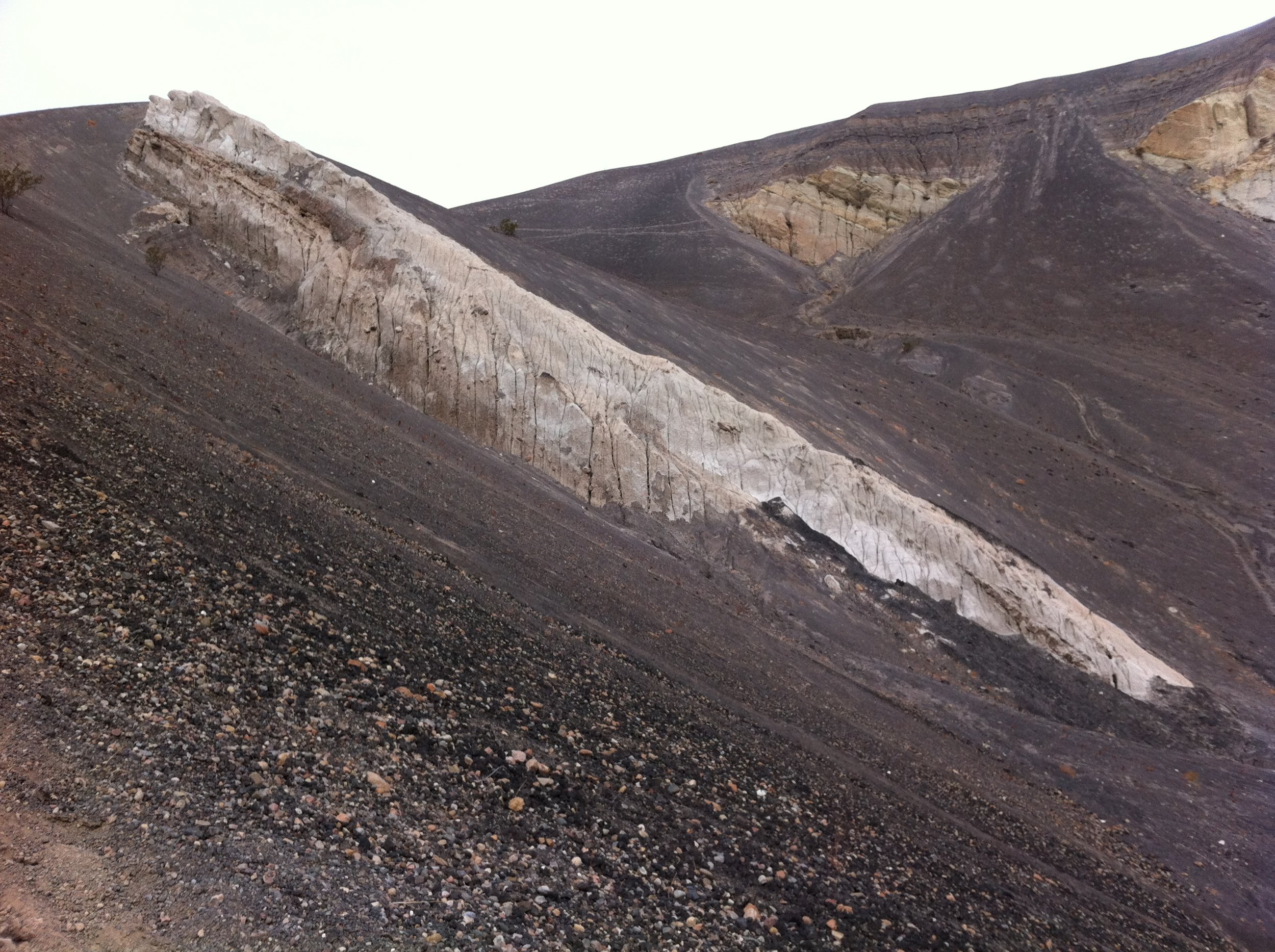
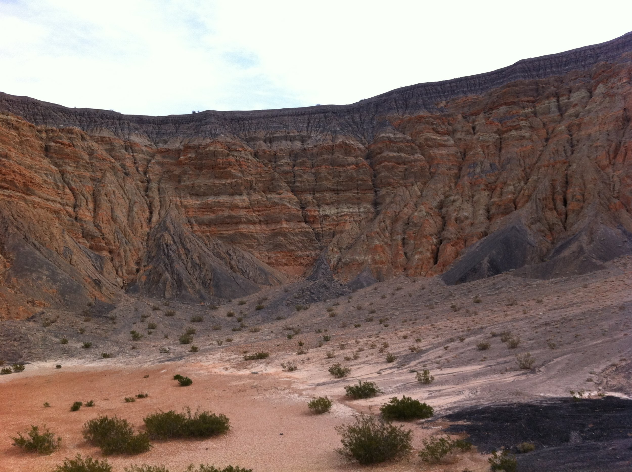
The Ubehebe Crater is one of many volcanoes in Death Valley National Park, and it is a “Maar Volcano” in that it was created by a giant steam and gas explosion that occurred when hot magma from the Earth’s core reached a pocket of ground water. When this occurred, the intense heat immediately flashed the water into steam, which then expanded until the pressure was released by a fairly large bang.  If you’re into rocks, as I am, this is a sort of geologic two-for-one opportunity in that you get to go into a volcanic crater of a maar volcano – not something that happens every day! As for the amount of risk, well, while the volcano has not erupted for at least three hundred years, there is no magma underneath the area presently, so the risk is probably minimal, at best. 

Directions:Ubehebe Crater is located five miles North of the Grapevine Visitor Center to Death Valley National Park, and the way to the crater is well signed. Even if there were no helpful NPS signs, you would know that you were approaching the crater when you started to pass through large expanses of black cinder fields that look like the surface of the moon. At the middle of the NPS loop road there is a parking area, and interpretive panels regarding the crater. At the interpretive panels, you will likely meet a number of people who have a number of theories about the crater – one time I was told that it was the result of a meteorite strike; another time, I was told that the NPS Panels were incorrect due to a creationist perspective, but since you have read this article, you will be prepared to impress people with your knowledge that the crater is a Maar volcano. Once you are done discussing the particulars of the crater with friends and or total strangers, you will have to decide whether you are a crater walker, or a rim-walker-watcher-of-crater-walkers.

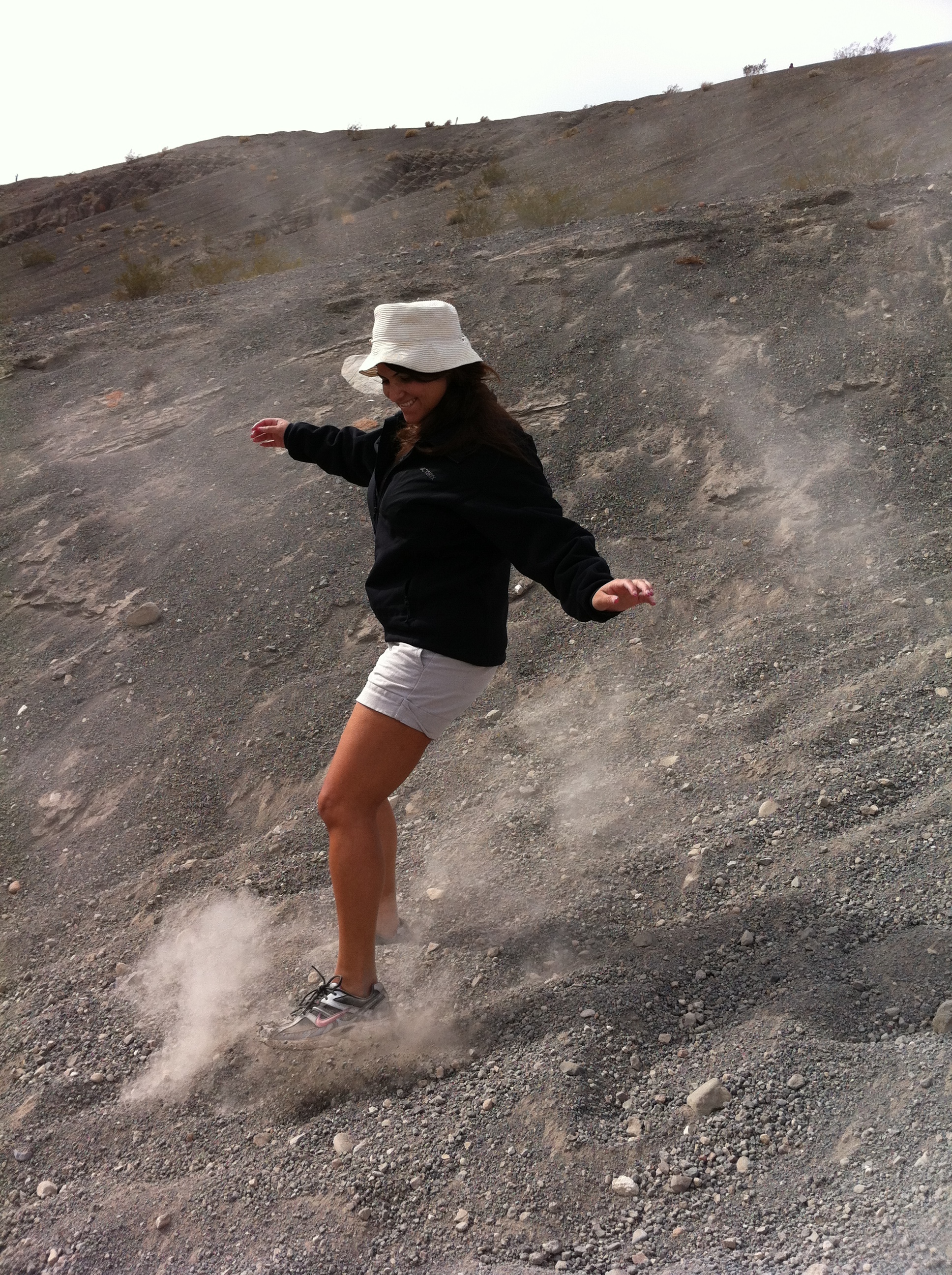
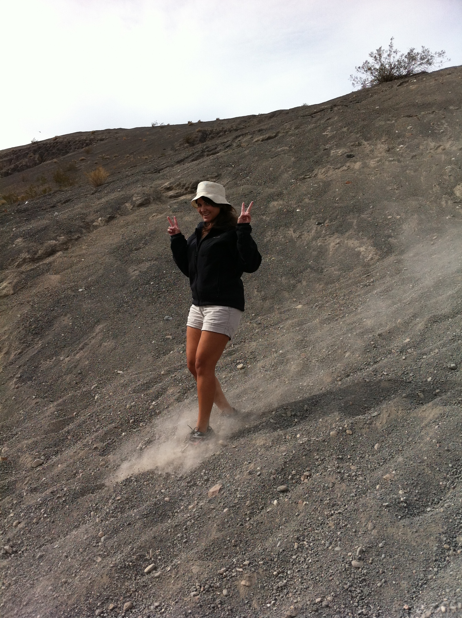
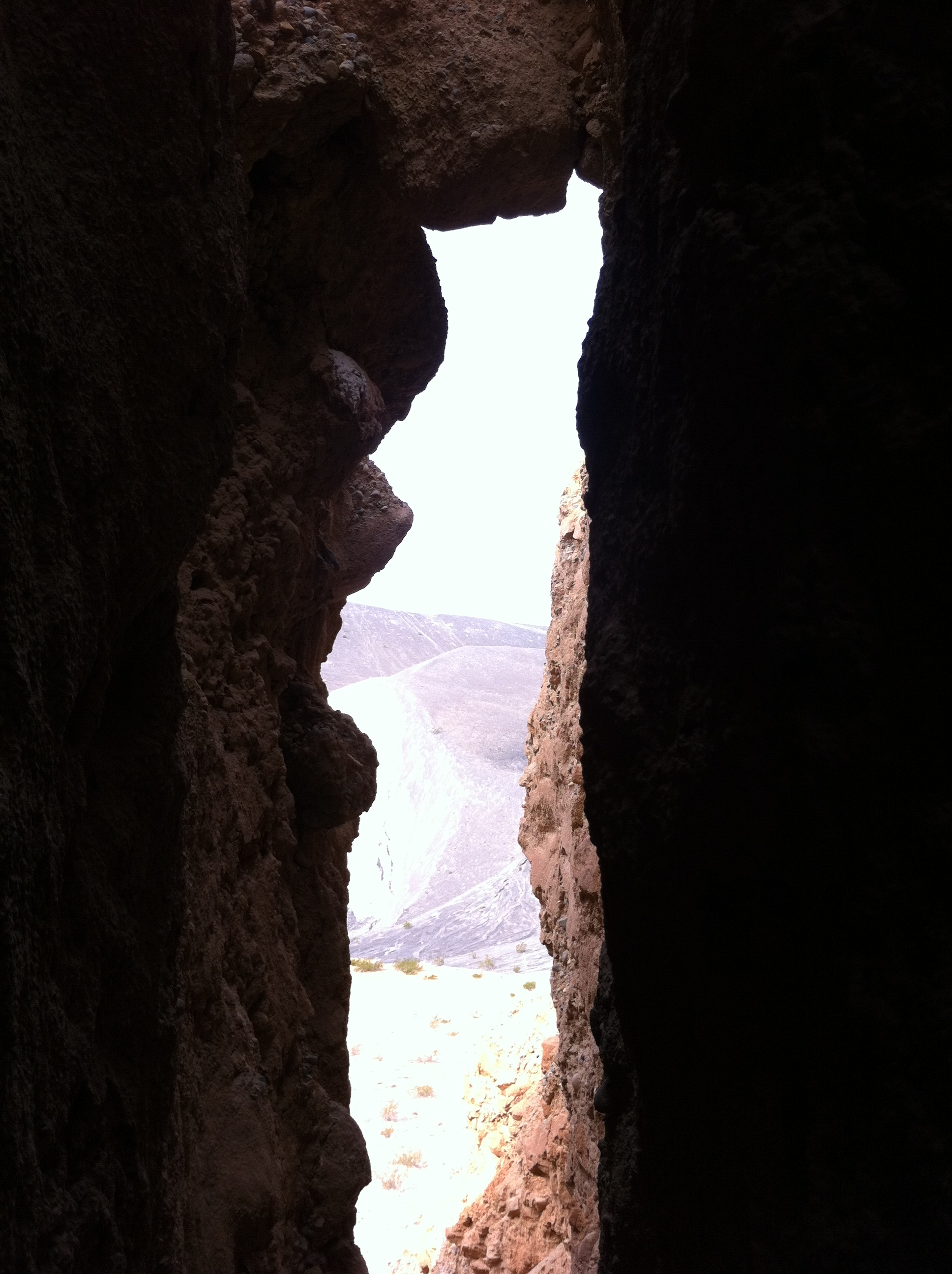
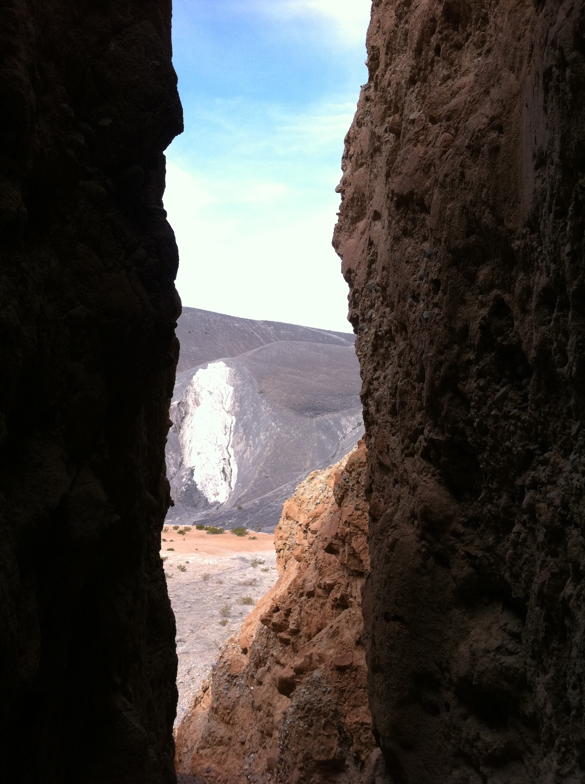
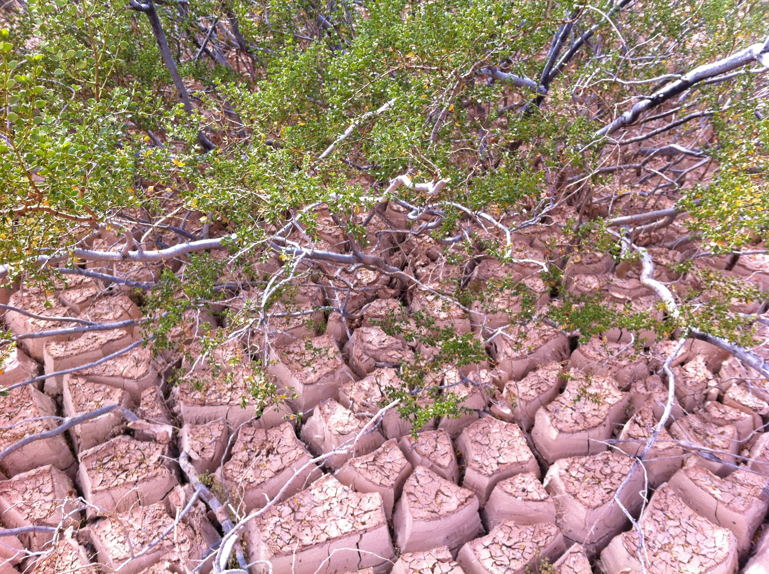
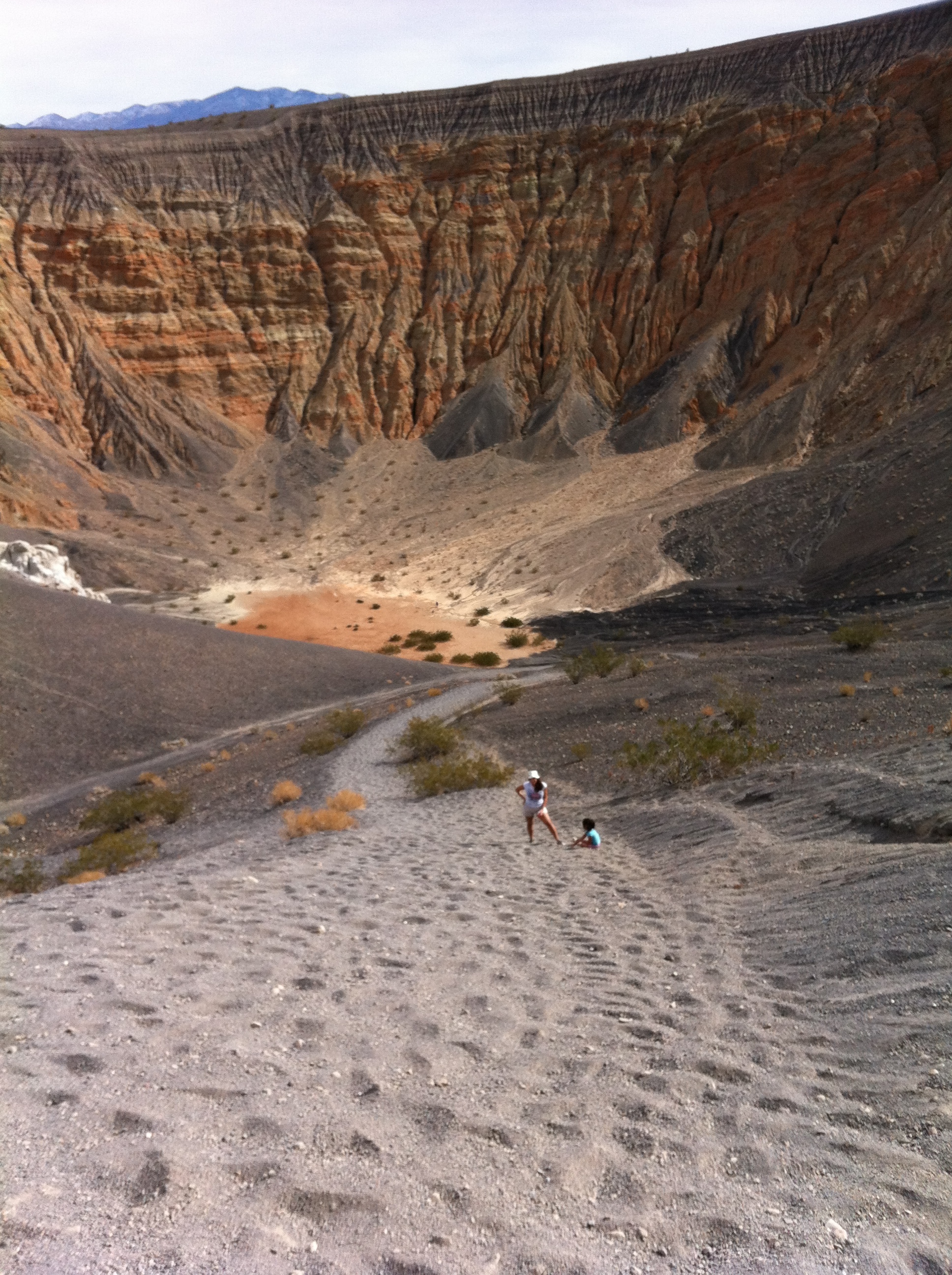
If you’re the latter class of people, I don’t have much to say other than the standard, “enjoy the view”. If you’re a crater walker, here’s what I have to say: the way to the bottom of the crater is very easy. In fact, it is so easy; you will feel like you are sliding. This is, in fact, because you are likely sliding. You will be traveling over loose volcanic rock and scree which naturally wants to obey the force of gravity, and wants to help you obey the force of gravity by coming to rest at the lowest point, the crater floor. Even though the crater is 600-770 feet deep, you will traverse this distance quickly, and I suspect you will find yourself at the bottom within ten to fifteen minutes. Once you are at the bottom, there’s plenty of things to explore – more volcanic rocks, and the cracked dry surface of many evaporated seasonal lakes. If you’re feeling daring, you can head into the alluvial tunnels on the Eastern side as well, although from what I could find, none extend back very far, and all would appear not to be very stable.

Once you are done at the crater bottom, you will look up and marvel at how tiny the non-crater explorers still sitting on the rim looking at you appear. Similarly, they will be marveling at how tiny you look at the bottom. At that point, you will realize that you have a very steep climb back to the rim. This is the point where distance factors in: whether you believe it or not, you will have likely only gone .25 (1/4) to .50 (1/2) miles to the bottom of the crater. What that means is that you have .25-.50 miles to ascend over 500 feet of vertical terrain. To add insult to injury, while the scree helped you going down, it will now hinder you going up. At times on the ascent it will feel like you are walking through quicksand. It is precisely for this reason that I will call the hike moderate: no matter how good of shape you are in, you will work to get out of the crater. It is also worth noting that when you reach the top, you will feel an enormous sense of accomplishment; however, the non-crater walkers will not want to share it with you, as they likely thought you were crazy to attempt the hike in the first place. Although it may not seem like it, this hike is only a half-mile to mile roundtrip!

Tips: Take plenty of water. Even on a cold day, you will work up a sweat coming out of the crater. On a hot day, you may emerge completely soaking wet. Know your limits; pace yourself, and do not attempt the climb in triple digit heat at a world setting pace.

See you in the crater!